| Memorials | : | 0 |
| Location | : | White Cloud, Doniphan County, USA |
| Coordinate | : | 39.9797100, -95.3042800 |
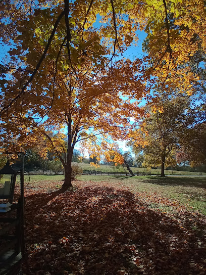
| Description | : | Found a listing of the cemeteries in White Cloud, Doniphan County, Kansas, during a visit in 1998. The cemetery listed as #1 is named "Kelly". We met Kenneth Edie and his daughter, Mary in White Cloud. Kenneth had bought 80 acres of land about 8-9 years ago on which, at one time, was a cemetery. This was the "Kelly Cemetery". Kenneth reported the stones had been plowed under by the previous owners. Kenneth and Mary, as they found stones, were putting them by a tree and have fenced it in. Mary has put a... Read More |
frequently asked questions (FAQ):
-
Where is Kelley Cemetery?
Kelley Cemetery is located at White Cloud, Doniphan County ,Kansas ,USA.
-
Kelley Cemetery cemetery's updated grave count on graveviews.com?
0 memorials
-
Where are the coordinates of the Kelley Cemetery?
Latitude: 39.9797100
Longitude: -95.3042800
Nearby Cemetories:
1. Olive Branch Cemetery
White Cloud, Doniphan County, USA
Coordinate: 39.9729400, -95.3129400
2. Tesson Cemetery
Brown County, USA
Coordinate: 39.9763985, -95.3407974
3. Partlow Cemetery
Hiawatha, Brown County, USA
Coordinate: 39.9994011, -95.3602982
4. Collins Family Cemetery
White Cloud, Doniphan County, USA
Coordinate: 39.9221992, -95.2969284
5. Roy and Franklin Cemetery
Richardson County, USA
Coordinate: 40.0036011, -95.3878021
6. Franklin Cemetery
Rulo, Richardson County, USA
Coordinate: 40.0035000, -95.3884700
7. Campbell Cemetery
Reserve, Brown County, USA
Coordinate: 39.9905980, -95.3961750
8. Boyd Cemetery
Holt County, USA
Coordinate: 40.0466995, -95.2453003
9. Wilson Cemetery
Forest City, Holt County, USA
Coordinate: 40.0060997, -95.2027969
10. Tarkio Chapel Cemetery
Fortescue, Holt County, USA
Coordinate: 40.0659400, -95.3152200
11. Iowa Point Cemetery
Iowa Point, Doniphan County, USA
Coordinate: 39.9157982, -95.2275009
12. Roderick Cemetery
Forest City, Holt County, USA
Coordinate: 40.0271988, -95.2071991
13. Walnut Grove Cemetery
Highland, Doniphan County, USA
Coordinate: 39.9000702, -95.2438736
14. Kenyon Cemetery
Robinson, Brown County, USA
Coordinate: 39.9122000, -95.3964600
15. Union Cemetery
Forest City, Holt County, USA
Coordinate: 39.9872017, -95.1761017
16. Catron Cemetery
Fortescue, Holt County, USA
Coordinate: 40.0736300, -95.3629800
17. Pleasant Hill Cemetery
Irving Township, Brown County, USA
Coordinate: 39.9435997, -95.4328232
18. Benton Church Cemetery
Forest City, Holt County, USA
Coordinate: 40.0621430, -95.1918980
19. Sauer Cemetery
Bigelow, Holt County, USA
Coordinate: 40.1002100, -95.3339900
20. Maple Grove Cemetery
Oregon, Holt County, USA
Coordinate: 39.9845300, -95.1395600
21. Immaculate Conception Cemetery
Rulo, Richardson County, USA
Coordinate: 40.0480200, -95.4431800
22. Laus Creek Cemetery
Reserve, Brown County, USA
Coordinate: 39.9754105, -95.4699936
23. Rulo City Cemetery
Rulo, Richardson County, USA
Coordinate: 40.0561218, -95.4420471
24. Highland Cemetery
Highland, Doniphan County, USA
Coordinate: 39.8555984, -95.2514038

