
| Memorials | : | 84 |
| Location | : | Scalford, Melton Borough, England |
| Coordinate | : | 52.8080500, -0.8702700 |
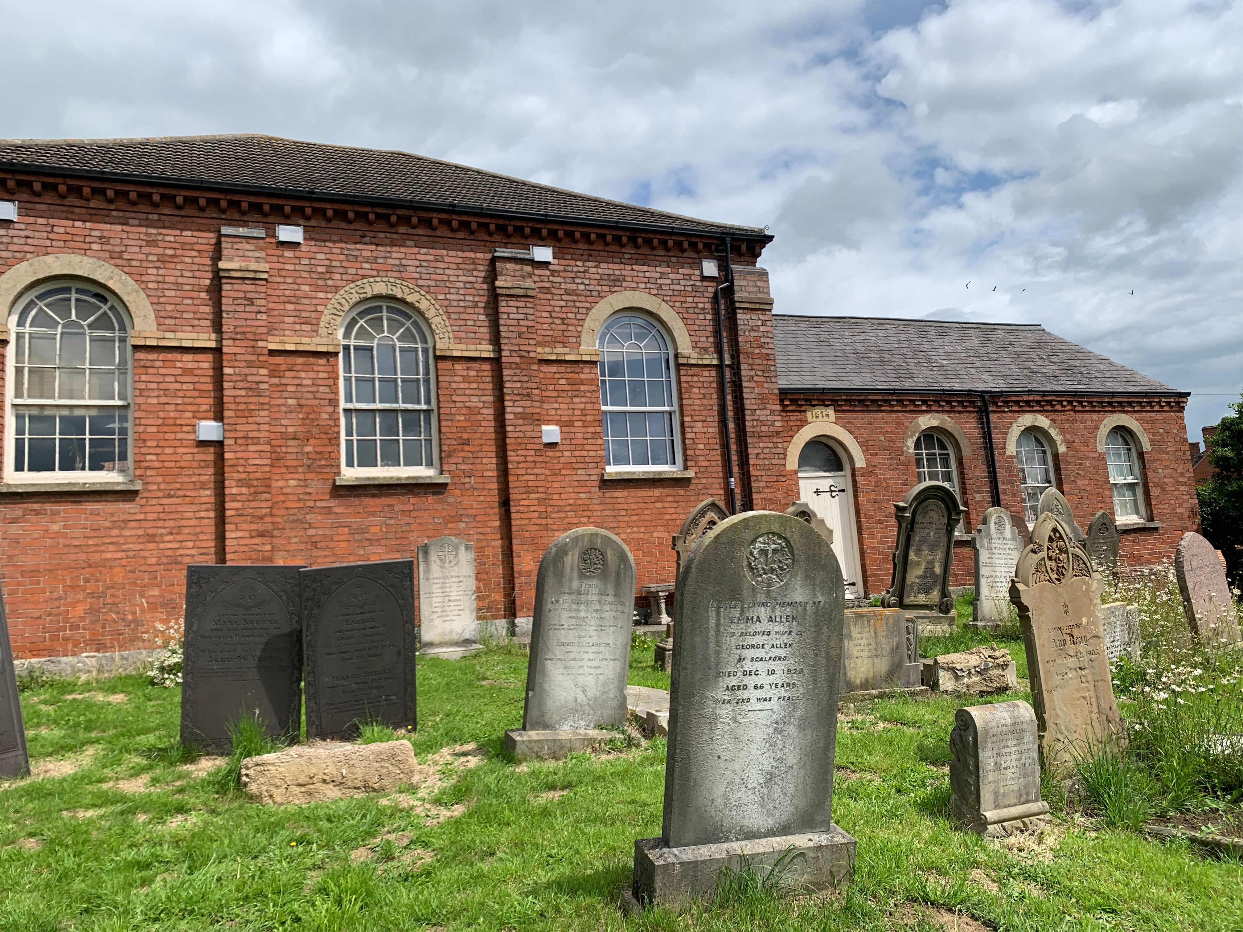
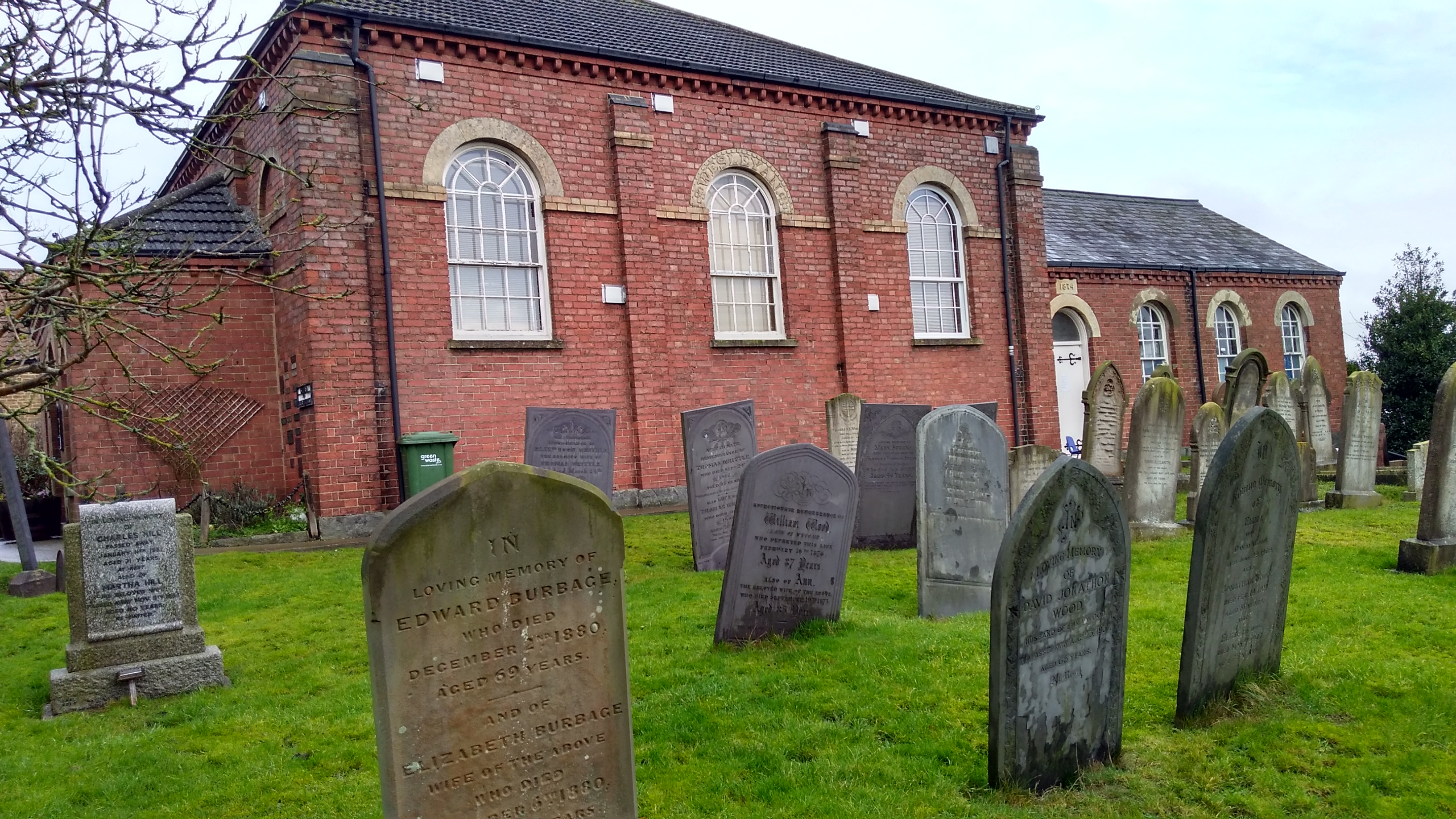
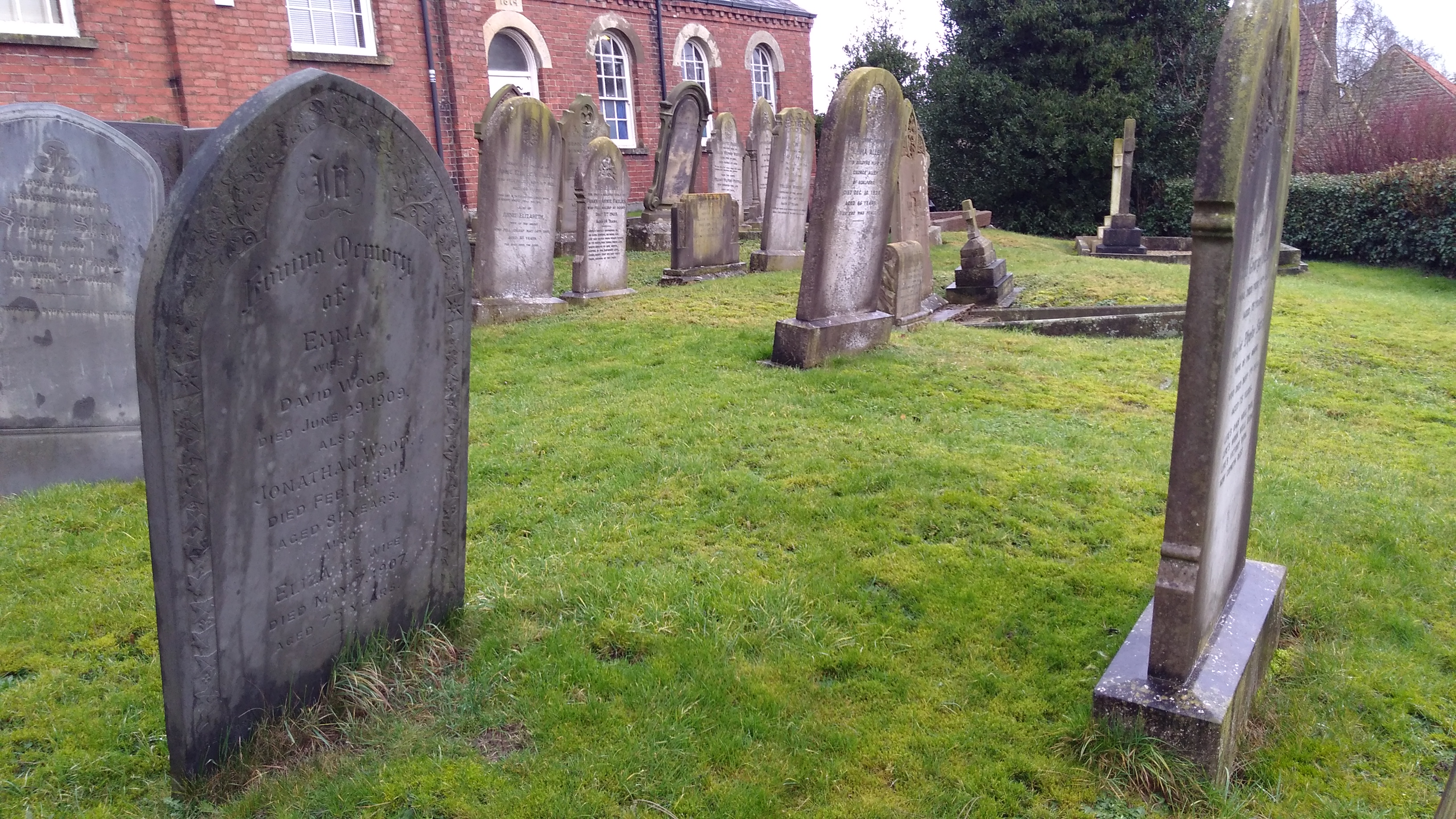
| Description | : | Scalford is a village and civil parish in the Melton borough of Leicestershire, England. It lies 4 miles to the north of Melton Mowbray at the southern end of the Vale of Belvoir. The name of the village is derived from Old English and originally meant shallow ford. It has retained its current spelling for at least 440 years, being shown as 'Scalford' on the map of Warwickshire and Leicestershire produced (in Latin) in 1576. Scalford Methodist Church was built in 1844 and is unusual in that it has a garden and its own cemetery. There is a war grave... Read More |
frequently asked questions (FAQ):
-
Where is Scalford Wesleyan Chapelyard?
Scalford Wesleyan Chapelyard is located at New Street Scalford, Melton Borough ,Leicestershire ,England.
-
Scalford Wesleyan Chapelyard cemetery's updated grave count on graveviews.com?
84 memorials
-
Where are the coordinates of the Scalford Wesleyan Chapelyard?
Latitude: 52.8080500
Longitude: -0.8702700


Nearby Cemetories:
1. St Egelwin Churchyard
Scalford, Melton Borough, England
Coordinate: 52.8093250, -0.8694080
2. Scalford Melton Road Cemetery
Scalford, Melton Borough, England
Coordinate: 52.8090150, -0.8766850
3. St. Deny's Churchyard
Goadby Marwood, Melton Borough, England
Coordinate: 52.8293300, -0.8447300
4. St. Mary the Virgin Churchyard
Melton Mowbray, Melton Borough, England
Coordinate: 52.7729800, -0.8594080
5. St James Churchyard
Ab Kettleby, Melton Borough, England
Coordinate: 52.7985680, -0.9273270
6. St. Mary Magdalene Churchyard
Waltham on the Wolds, Melton Borough, England
Coordinate: 52.8170300, -0.8106600
7. Thorpe Road Cemetery
Melton Mowbray, Melton Borough, England
Coordinate: 52.7706600, -0.8708200
8. St Michael and All Angels Churchyard
Eastwell, Melton Borough, England
Coordinate: 52.8483680, -0.8508990
9. Melton Mowbray Old Cemetery
Melton Mowbray, Melton Borough, England
Coordinate: 52.7662520, -0.8859770
10. Long Clawson Sandpit Lane Cemetery
Long Clawson, Melton Borough, England
Coordinate: 52.8338110, -0.9273370
11. St. Bartolomew's Churchyard, Welby
Melton Mowbray, Melton Borough, England
Coordinate: 52.7814860, -0.9263090
12. St. John the Baptist Catholic Churchyard
Melton Mowbray, Melton Borough, England
Coordinate: 52.7648338, -0.8812819
13. St Mary Churchyard
Melton Mowbray, Melton Borough, England
Coordinate: 52.7635680, -0.8858380
14. St. Michael's Churchyard
Wartnaby, Melton Borough, England
Coordinate: 52.8012220, -0.9447660
15. St. Remigius Churchyard
Long Clawson, Melton Borough, England
Coordinate: 52.8373290, -0.9294660
16. St. Leonards Churchyard Sysonby
Melton Mowbray, Melton Borough, England
Coordinate: 52.7633900, -0.9076000
17. Grange Lane Churchyard Extension, Sysonby
Melton Mowbray, Melton Borough, England
Coordinate: 52.7627410, -0.9077140
18. St Mary's Churchyard
Freeby, Melton Borough, England
Coordinate: 52.7727300, -0.8099500
19. Saint Michael & All Angels Churchyard
Hose, Melton Borough, England
Coordinate: 52.8558840, -0.9080560
20. St. Mary Churchyard
Wyfordby, Melton Borough, England
Coordinate: 52.7621940, -0.8257020
21. St Peter's Churchyard
Stonesby, Melton Borough, England
Coordinate: 52.8140000, -0.7805100
22. Hose Baptist Chapel Lane Churchyard
Hose, Melton Borough, England
Coordinate: 52.8588460, -0.9049480
23. St Denys Churchyard
Eaton, Melton Borough, England
Coordinate: 52.8530490, -0.8164422
24. Eaton Cemetery
Eaton, Melton Borough, England
Coordinate: 52.8544070, -0.8174640