
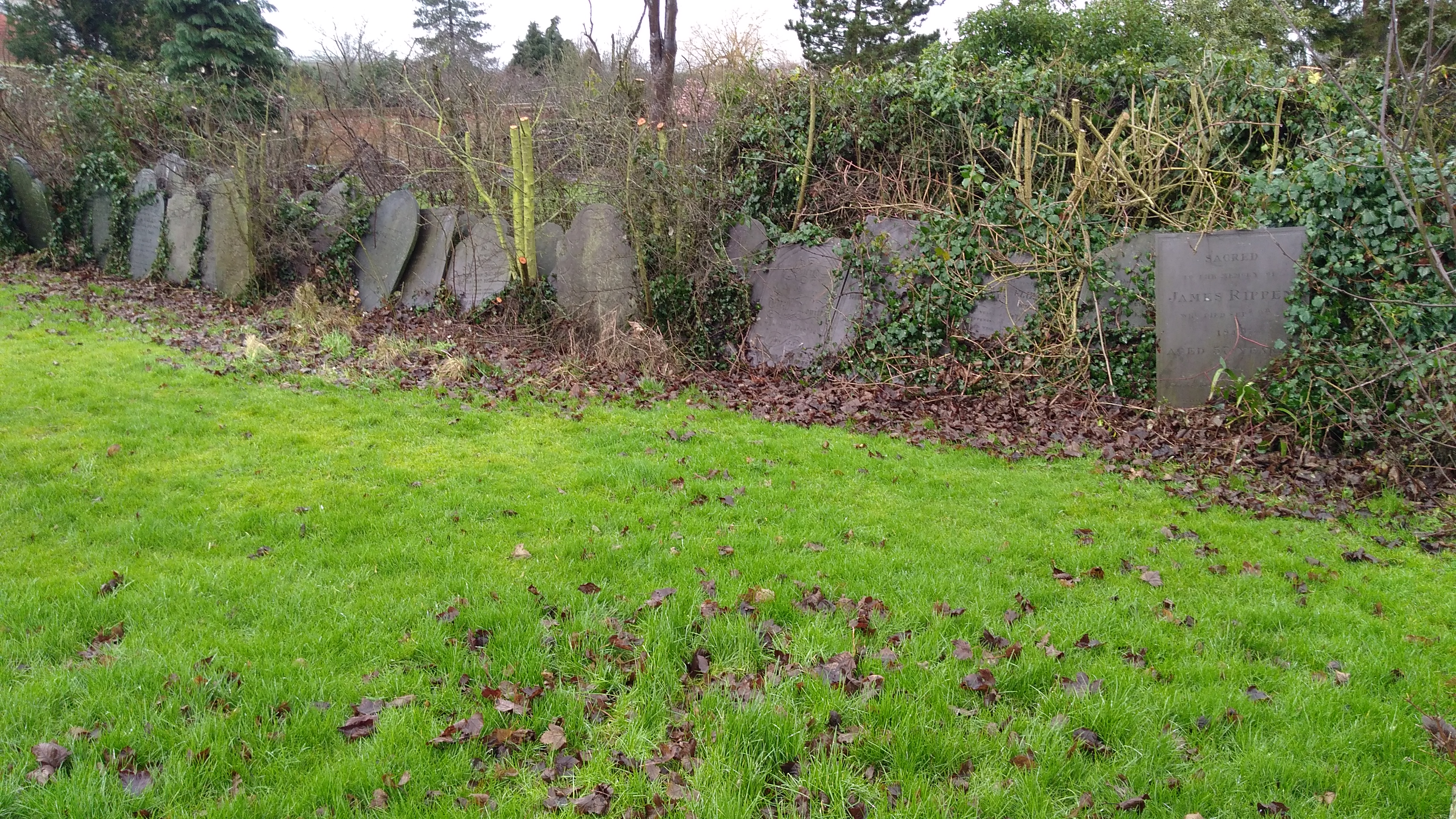
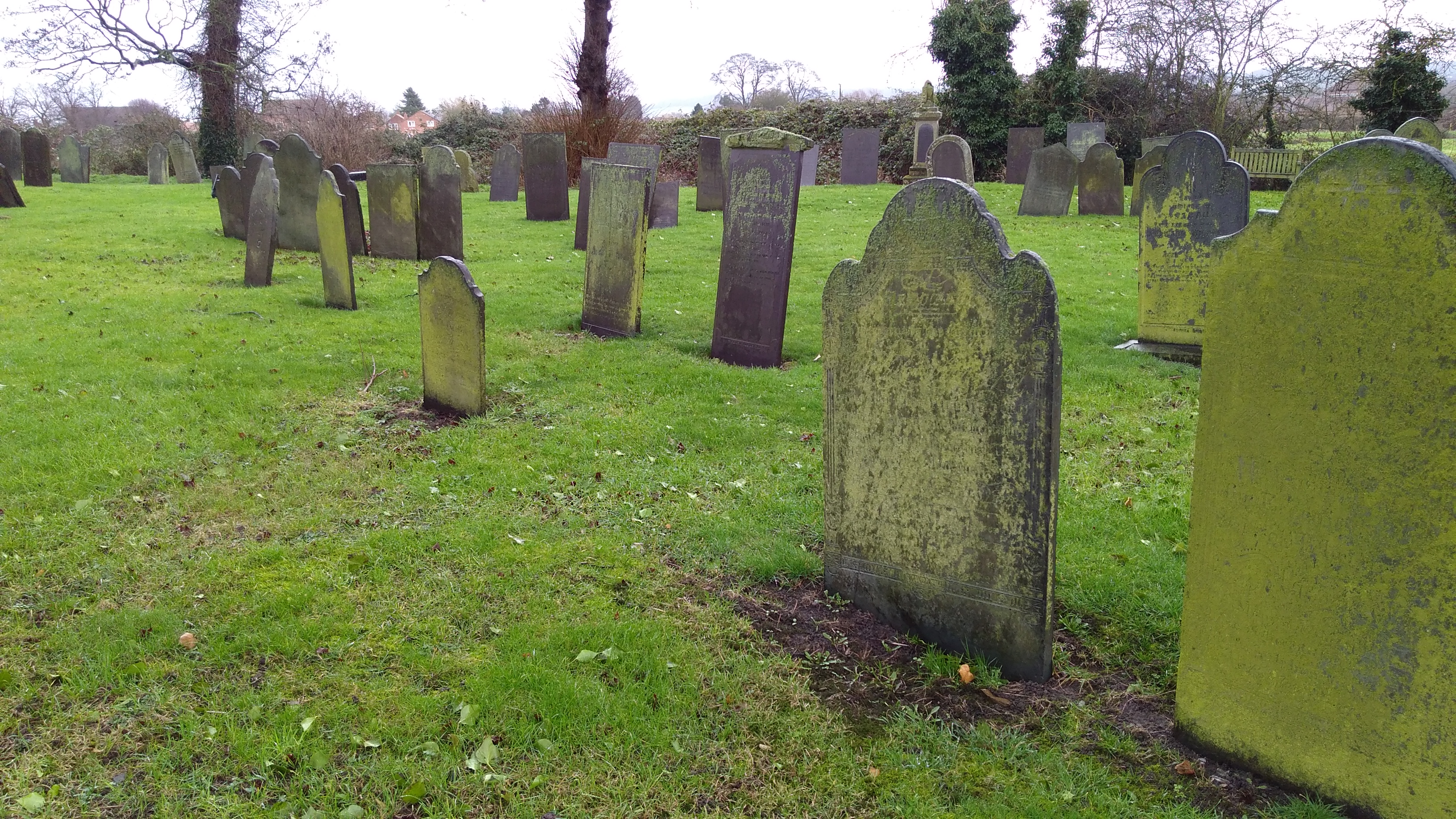
| Memorials | : | 0 |
| Location | : | Long Clawson, Melton Borough, England |
| Coordinate | : | 52.8373290, -0.9294660 |
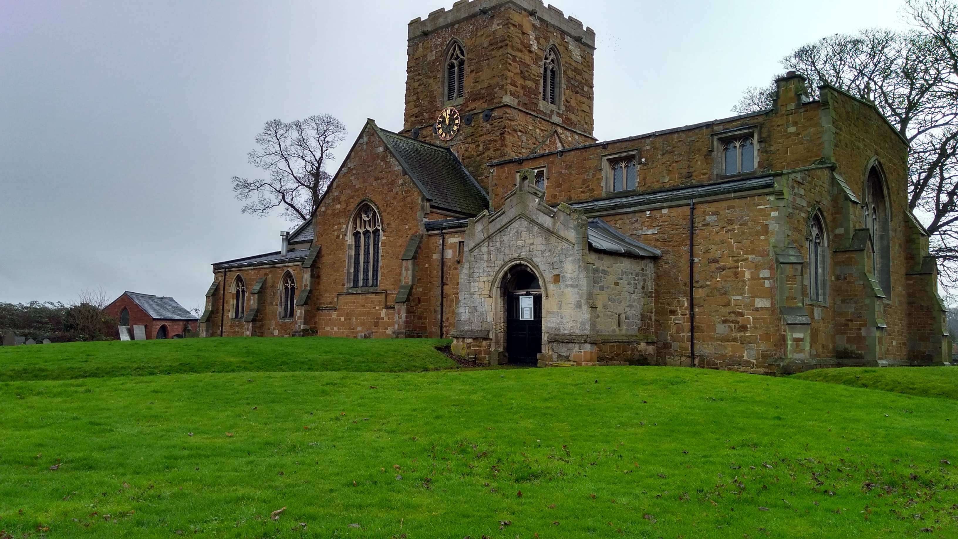
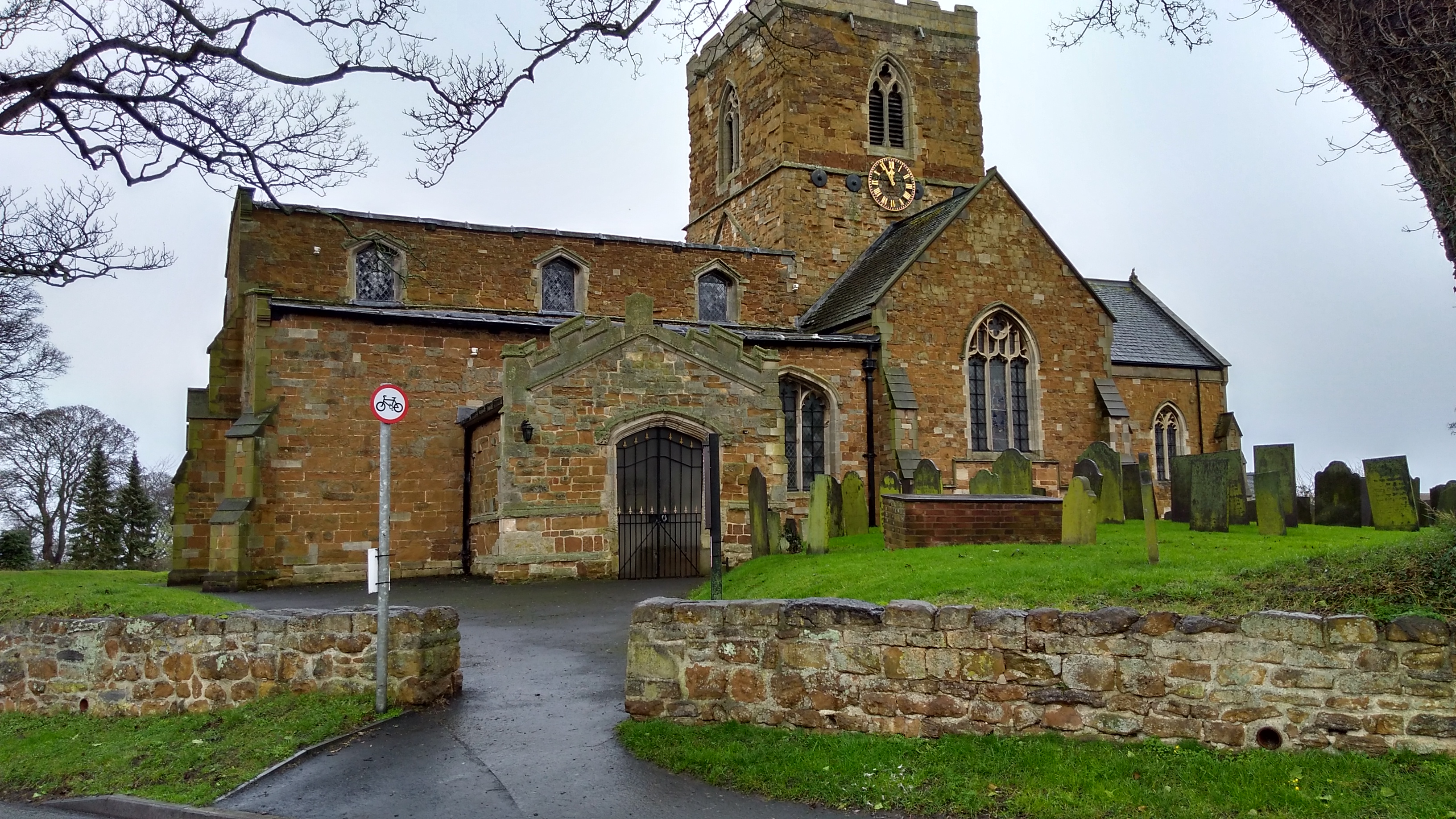
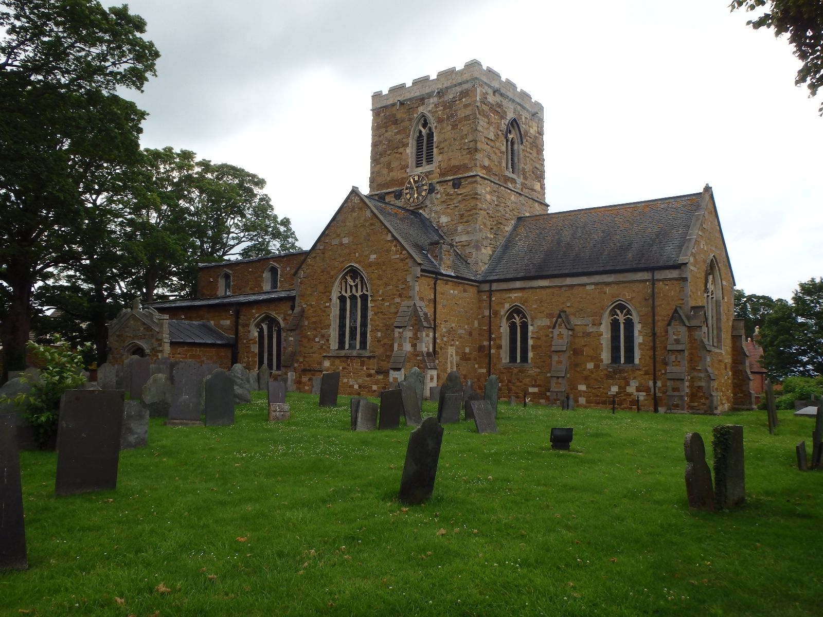
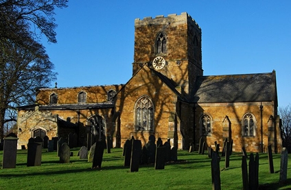
| Description | : | Grade II listed Anglican church, dating back to the 14th century. |
frequently asked questions (FAQ):
-
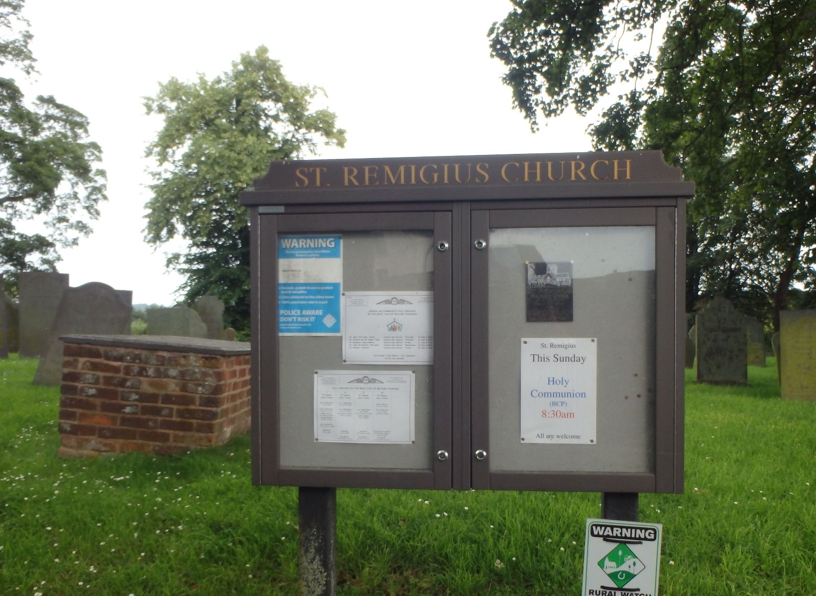
Where is St. Remigius Churchyard?
St. Remigius Churchyard is located at Church Lane Long Clawson, Melton Borough ,Leicestershire , LE14 4NDEngland.
-
St. Remigius Churchyard cemetery's updated grave count on graveviews.com?
0 memorials
-
Where are the coordinates of the St. Remigius Churchyard?
Latitude: 52.8373290
Longitude: -0.9294660

Nearby Cemetories:
1. Long Clawson Sandpit Lane Cemetery
Long Clawson, Melton Borough, England
Coordinate: 52.8338110, -0.9273370
2. Saint Michael & All Angels Churchyard
Hose, Melton Borough, England
Coordinate: 52.8558840, -0.9080560
3. St Mary the Virgin Churchyard
Nether Broughton, Melton Borough, England
Coordinate: 52.8289780, -0.9687040
4. Hose Baptist Chapel Lane Churchyard
Hose, Melton Borough, England
Coordinate: 52.8588460, -0.9049480
5. St. Luke's Churchyard, Hickling
Melton Mowbray, Melton Borough, England
Coordinate: 52.8563758, -0.9738774
6. St. Luke's Churchyard
Hickling, Rushcliffe Borough, England
Coordinate: 52.8564100, -0.9742800
7. St Luke's Churchyard
Upper Broughton, Rushcliffe Borough, England
Coordinate: 52.8293700, -0.9870900
8. St. Michael's Churchyard
Wartnaby, Melton Borough, England
Coordinate: 52.8012220, -0.9447660
9. St James Churchyard
Ab Kettleby, Melton Borough, England
Coordinate: 52.7985680, -0.9273270
10. Scalford Melton Road Cemetery
Scalford, Melton Borough, England
Coordinate: 52.8090150, -0.8766850
11. St Mary the Virgin Churchyard
Harby, Melton Borough, England
Coordinate: 52.8739600, -0.8912030
12. St Egelwin Churchyard
Scalford, Melton Borough, England
Coordinate: 52.8093250, -0.8694080
13. Scalford Wesleyan Chapelyard
Scalford, Melton Borough, England
Coordinate: 52.8080500, -0.8702700
14. St Michael and All Angels Churchyard
Eastwell, Melton Borough, England
Coordinate: 52.8483680, -0.8508990
15. St. Deny's Churchyard
Goadby Marwood, Melton Borough, England
Coordinate: 52.8293300, -0.8447300
16. St Luke's Churchyard
Kinoulton, Rushcliffe Borough, England
Coordinate: 52.8697400, -0.9964300
17. Old Dalby Main Road Cemetery
Old Dalby, Melton Borough, England
Coordinate: 52.8084650, -1.0007670
18. St John the Baptist Churchyard
Old Dalby, Melton Borough, England
Coordinate: 52.8053510, -1.0017970
19. St. Bartolomew's Churchyard, Welby
Melton Mowbray, Melton Borough, England
Coordinate: 52.7814860, -0.9263090
20. St. Guthlac's Churchyard
Stathern, Melton Borough, England
Coordinate: 52.8707708, -0.8528169
21. St John the Baptist Churchyard
Grimston, Melton Borough, England
Coordinate: 52.7902720, -0.9850350
22. St Peter's Churchyard
Saxelbye, Melton Borough, England
Coordinate: 52.7817900, -0.9626700
23. St Andrews Churchyard
Langar, Rushcliffe Borough, England
Coordinate: 52.9034742, -0.9259344
24. Eaton Cemetery
Eaton, Melton Borough, England
Coordinate: 52.8544070, -0.8174640