| Memorials | : | 0 |
| Location | : | Choctaw County, USA |
| Coordinate | : | 34.1026200, -95.3737300 |
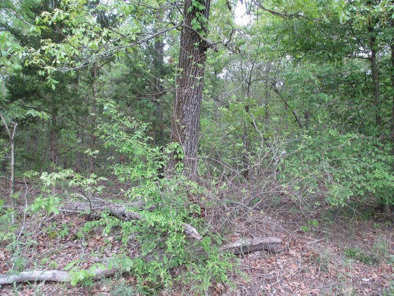
| Description | : | Take State Highway 147 North to County Road E2010 West 0.4 miles then right (north) 0.2 miles. The cemetery is on the right. |
frequently asked questions (FAQ):
-
Where is Schooler Lake Cemetery?
Schooler Lake Cemetery is located at Section 24 Township 5S Range 18E Choctaw County ,Oklahoma ,USA.
-
Schooler Lake Cemetery cemetery's updated grave count on graveviews.com?
0 memorials
-
Where are the coordinates of the Schooler Lake Cemetery?
Latitude: 34.1026200
Longitude: -95.3737300
Nearby Cemetories:
1. Thomas Family Cemetery
Spencerville, Choctaw County, USA
Coordinate: 34.1026200, -95.3737300
2. Dixon Chapel Cemetery
Choctaw County, USA
Coordinate: 34.0956001, -95.3852997
3. Spencerville Cemetery
Spencerville, Choctaw County, USA
Coordinate: 34.1467018, -95.3522034
4. Box Springs Cemetery
Fort Towson, Choctaw County, USA
Coordinate: 34.0620970, -95.3262920
5. Hampton Chapel Cemetery
Spencerville, Choctaw County, USA
Coordinate: 34.1508730, -95.3145680
6. High Hill Cemetery
High Hill, Choctaw County, USA
Coordinate: 34.1353990, -95.2959230
7. Fennel Cemetery
Messer, Choctaw County, USA
Coordinate: 34.0913500, -95.4695000
8. Sawyer Cemetery
Sawyer, Choctaw County, USA
Coordinate: 34.0154780, -95.3727240
9. Woodlawn Cemetery
Choctaw County, USA
Coordinate: 34.0849991, -95.4811020
10. Rattan Cemetery
Rattan, Pushmataha County, USA
Coordinate: 34.1911011, -95.4011002
11. Long Creek Cemetery
Messer, Choctaw County, USA
Coordinate: 34.0548800, -95.4682100
12. Belzoni Cemetery
Antlers, Pushmataha County, USA
Coordinate: 34.1824989, -95.4396973
13. Corinne Cemetery
Corinne, Pushmataha County, USA
Coordinate: 34.1864014, -95.2992020
14. Fort Towson Cemetery
Fort Towson, Choctaw County, USA
Coordinate: 34.0335999, -95.2727966
15. Ahekatubby Cemetery
Choctaw County, USA
Coordinate: 33.9900300, -95.3864100
16. Sand Bluff Cemetery
Sand Bluff, Choctaw County, USA
Coordinate: 34.0616000, -95.5039000
17. Goodwater Cemetery
Pushmataha County, USA
Coordinate: 34.1802700, -95.2644400
18. Fort Towson Historic Site Cemetery
Fort Towson, Choctaw County, USA
Coordinate: 34.0285420, -95.2569740
19. Old Fort Towson Cemetery
Choctaw County, USA
Coordinate: 34.0261002, -95.2589035
20. Black Jack Indian Cemetery
Pushmataha County, USA
Coordinate: 34.1863889, -95.2605556
21. Shoat Springs Cemetery
Hugo, Choctaw County, USA
Coordinate: 33.9738998, -95.4169006
22. Long Creek Cemetery
Hugo, Choctaw County, USA
Coordinate: 34.0824700, -95.5389800
23. Jones Cemetery
Choctaw County, USA
Coordinate: 33.9767200, -95.4497000
24. Sobol Cemetery
Choctaw County, USA
Coordinate: 34.1507988, -95.2082977

