| Memorials | : | 2 |
| Location | : | Hugo, Choctaw County, USA |
| Coordinate | : | 34.0824700, -95.5389800 |
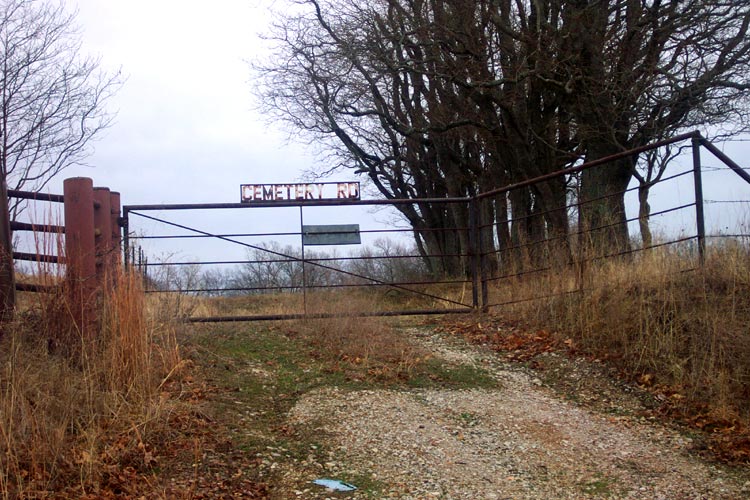
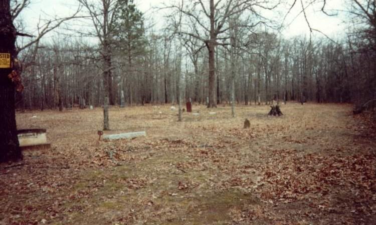
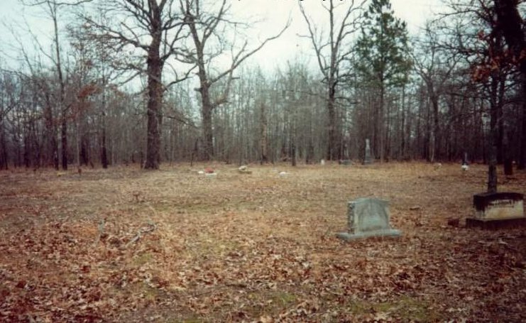
| Description | : | Alternate names include Long Creek and Earing. Located in Section 33 of Township 5 South Range 17 East Oldest recorded burial 1897. 59 burials listed. 5.2 miles north of the intersection of Business US 70 & "H" Street in Hugo. Take "H" St (at Clayton Avenue Baptist Church) north 10 blocks, turn left (west) one block then right (north) 4.5 miles. Look for gate marked "Cemetery Rd" on your right (east) 8/10 of a mile past intersection. (4210 between 2020 & 2030) Cemetery is on private property - inquire about access at the house (Frank residence) 1/10 mile north... Read More |
frequently asked questions (FAQ):
-
Where is Long Creek Cemetery?
Long Creek Cemetery is located at Hugo, Choctaw County ,Oklahoma ,USA.
-
Long Creek Cemetery cemetery's updated grave count on graveviews.com?
1 memorials
-
Where are the coordinates of the Long Creek Cemetery?
Latitude: 34.0824700
Longitude: -95.5389800
Nearby Cemetories:
1. Pisachubbee Cemetery
Speer, Choctaw County, USA
Coordinate: 34.0960361, -95.5569440
2. Speer Cemetery
Choctaw County, USA
Coordinate: 34.0986700, -95.5647500
3. Sand Bluff Cemetery
Sand Bluff, Choctaw County, USA
Coordinate: 34.0616000, -95.5039000
4. Clark Family Cemetery
Choctaw County, USA
Coordinate: 34.1112100, -95.5843500
5. Woodlawn Cemetery
Choctaw County, USA
Coordinate: 34.0849991, -95.4811020
6. Cloninger Family Cemetery
Choctaw County, USA
Coordinate: 34.1325800, -95.5747200
7. Fennel Cemetery
Messer, Choctaw County, USA
Coordinate: 34.0913500, -95.4695000
8. Songer Family Cemetery
Speer, Choctaw County, USA
Coordinate: 34.1279000, -95.5879000
9. Bohannon-Davis Plot
Hugo, Choctaw County, USA
Coordinate: 34.0190500, -95.5245200
10. Long Creek Cemetery
Messer, Choctaw County, USA
Coordinate: 34.0548800, -95.4682100
11. Mount Olivet Cemetery
Hugo, Choctaw County, USA
Coordinate: 33.9981003, -95.4955978
12. Spring Family Cemetery
Hugo, Choctaw County, USA
Coordinate: 33.9940000, -95.5040000
13. Springs Chapel Cemetery
Hugo, Choctaw County, USA
Coordinate: 33.9907990, -95.5111008
14. Poor Farm Cemetery
Choctaw County, USA
Coordinate: 33.9869970, -95.5508000
15. Crosley Cemetery
Hugo, Choctaw County, USA
Coordinate: 33.9877670, -95.5127330
16. Roebuck Cemetery
Hugo, Choctaw County, USA
Coordinate: 34.0016100, -95.6042800
17. Goodland Cemetery
Choctaw County, USA
Coordinate: 33.9832993, -95.5580978
18. Walker Cemetery
Nelson, Choctaw County, USA
Coordinate: 34.1149000, -95.6584000
19. Nelson - Indian Cemetery
Choctaw County, USA
Coordinate: 34.1285200, -95.6520100
20. Mount Olive Cemetery
Hugo, Choctaw County, USA
Coordinate: 33.9680840, -95.5187580
21. Hart Indian Cemetery
Choctaw County, USA
Coordinate: 34.0370300, -95.6680900
22. Dela Cemetery
Dela, Pushmataha County, USA
Coordinate: 34.1994019, -95.5199966
23. Coon Family Cemetery
Soper, Choctaw County, USA
Coordinate: 34.0033900, -95.6466900
24. Cold Springs Cemetery
Choctaw County, USA
Coordinate: 33.9741670, -95.6036110


