| Memorials | : | 0 |
| Location | : | Leeds, Jefferson County, USA |
| Coordinate | : | 33.5462330, -86.5773690 |
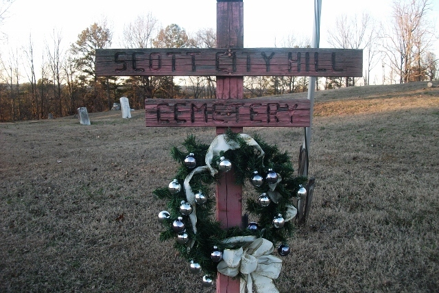
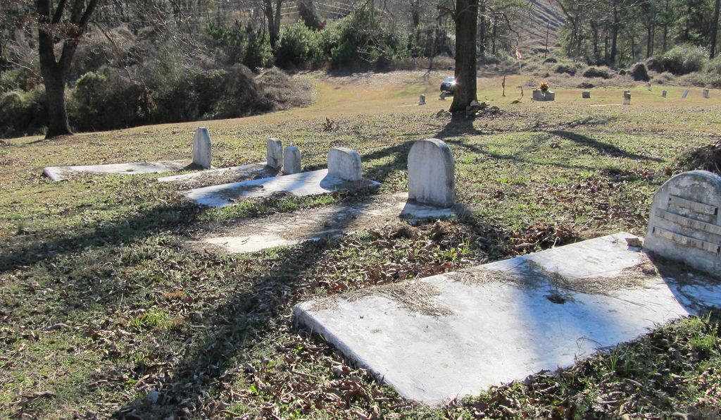
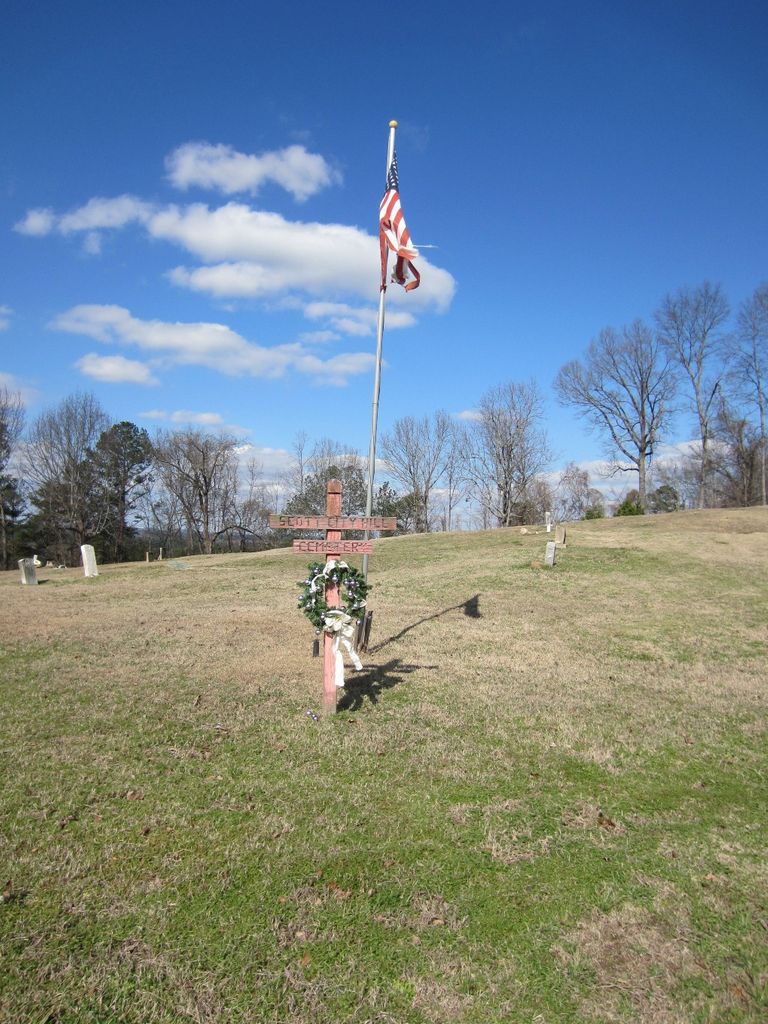
| Description | : | Mt. Pleasant Cemetery/Scott City Cemetery West out of Leeds on Hwy 78 opposite side of the road for the turn off for Cahaba Hills, turn right onto the gravel road. This is the oldest all black cemetery in Leeds. The burials begin across the street from the church and then continue up the hill. At one time there was a wagon road from the church to the top of the hill. The Church- At Scott City; turn right onto Coosa Ave at the base of the hill, approx. ¼ mile up Coosa St the church (Mt. Pleasant Church) sits on... Read More |
frequently asked questions (FAQ):
-
Where is Scott City Cemetery?
Scott City Cemetery is located at Leeds, Jefferson County ,Alabama ,USA.
-
Scott City Cemetery cemetery's updated grave count on graveviews.com?
0 memorials
-
Where are the coordinates of the Scott City Cemetery?
Latitude: 33.5462330
Longitude: -86.5773690
Nearby Cemetories:
1. Parkway Apartments Cemetery
Leeds, Jefferson County, USA
Coordinate: 33.5420140, -86.5629890
2. Moton Hill Cemetery
Leeds, Jefferson County, USA
Coordinate: 33.5598100, -86.5558400
3. Sharp Cemetery
Leeds, Jefferson County, USA
Coordinate: 33.5538729, -86.5453079
4. Shiloh Cemetery
Leeds, Jefferson County, USA
Coordinate: 33.5503100, -86.5417100
5. Little Family Cemetery
Jefferson County, USA
Coordinate: 33.5138480, -86.5825650
6. Pool Cemetery
Jefferson County, USA
Coordinate: 33.5066500, -86.5936370
7. McCombs Cemetery
Irondale, Jefferson County, USA
Coordinate: 33.5592003, -86.6267014
8. Cedar Grove Cemetery
Leeds, St. Clair County, USA
Coordinate: 33.5583000, -86.5263977
9. Forest Crest Cemetery
Birmingham, Jefferson County, USA
Coordinate: 33.5505524, -86.6313629
10. Mount Hebron Cemetery
Leeds, Jefferson County, USA
Coordinate: 33.4989014, -86.6031036
11. Dunnavant Community Cemetery
Dunavant, Shelby County, USA
Coordinate: 33.4988500, -86.5439590
12. Alton Cemetery
Birmingham, Jefferson County, USA
Coordinate: 33.5801470, -86.6357270
13. Sand Ridge Cemetery
Shelby County, USA
Coordinate: 33.5194016, -86.5117035
14. Mount Olive Cemetery
Shelby County, USA
Coordinate: 33.4902992, -86.5436020
15. Fairview Freewill Baptist Church Cemetery
Moody, St. Clair County, USA
Coordinate: 33.5921490, -86.5223230
16. Pleasant Ridge Cemetery
Dunavant, Shelby County, USA
Coordinate: 33.4796982, -86.5717010
17. New Hope Cemetery
Irondale, Jefferson County, USA
Coordinate: 33.5281219, -86.6607361
18. Phillips Family Cemetery (Defunct)
Birmingham, Jefferson County, USA
Coordinate: 33.5439600, -86.6651580
19. Kendrick Family Cemetery
Dunavant, Shelby County, USA
Coordinate: 33.4718050, -86.5733010
20. Ellard Family Cemetery
Jefferson County, USA
Coordinate: 33.6054780, -86.6331570
21. Nichols Cemetery
Jefferson County, USA
Coordinate: 33.4885320, -86.6372460
22. Harmony Church Cemetery
Dunavant, Shelby County, USA
Coordinate: 33.5260100, -86.4876400
23. Earltown Cemetery
Jefferson County, USA
Coordinate: 33.5513992, -86.6733017
24. Bass Cemetery
Irondale, Jefferson County, USA
Coordinate: 33.5744019, -86.6733017


