
| Memorials | : | 5 |
| Location | : | Ferrelview, Platte County, USA |
| Coordinate | : | 39.3120995, -94.6287003 |
frequently asked questions (FAQ):
-
Where is Second Creek Cemetery?
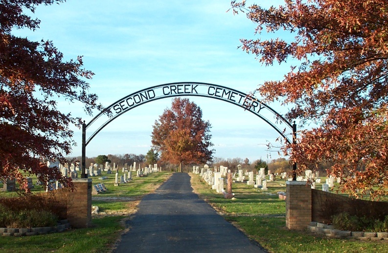
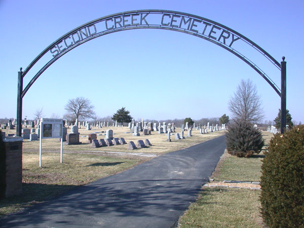
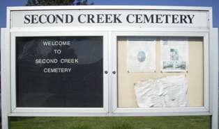
Second Creek Cemetery is located at Ferrelview, Platte County ,Missouri ,USA.
-
Second Creek Cemetery cemetery's updated grave count on graveviews.com?
4 memorials
-
Where are the coordinates of the Second Creek Cemetery?
Latitude: 39.3120995
Longitude: -94.6287003

Nearby Cemetories:
1. Oak Grove Cemetery
Platte County, USA
Coordinate: 39.3396100, -94.6307800
2. Pancake Cemetery
Platte County, USA
Coordinate: 39.3493996, -94.6299973
3. Terrace Park Cemetery
Kansas City, Clay County, USA
Coordinate: 39.2885017, -94.5888977
4. K.M. Woods Family Cemetery
Smithville, Clay County, USA
Coordinate: 39.3397300, -94.5906400
5. Mann-Vance-Young Burying Ground
Platte County, USA
Coordinate: 39.3544800, -94.6234900
6. Dixon Cemetery
Platte County, USA
Coordinate: 39.3542400, -94.6392200
7. McEown Cemetery
Platte City, Platte County, USA
Coordinate: 39.3304100, -94.6888200
8. DeBerry Cemetery
Platte County, USA
Coordinate: 39.3657900, -94.6437800
9. Corum-Judy Cemetery
Clay County, USA
Coordinate: 39.3343520, -94.5564480
10. Wilsons Cemetery
Barry, Clay County, USA
Coordinate: 39.2528800, -94.5982800
11. Lynch Cemetery
Platte County, USA
Coordinate: 39.2591100, -94.6760100
12. Thatcher Cemetery
Smithville, Clay County, USA
Coordinate: 39.3662400, -94.5816800
13. Brasfield Cemetery
Platte County, USA
Coordinate: 39.3741000, -94.6684600
14. Barry Cemetery
Barry, Clay County, USA
Coordinate: 39.2444000, -94.5963974
15. Wood Cemetery
Smithville, Clay County, USA
Coordinate: 39.3816800, -94.6004500
16. Karr Cemetery
Platte County, USA
Coordinate: 39.3852000, -94.6352500
17. Gash Cemetery
Gashland, Clay County, USA
Coordinate: 39.2467613, -94.5848846
18. Fountain Waller Cemetery
Platte County, USA
Coordinate: 39.3643990, -94.6999969
19. Brooks Cemetery
Smithville, Clay County, USA
Coordinate: 39.3753014, -94.5699997
20. Hoy Family Cemetery
Tiffany Springs, Platte County, USA
Coordinate: 39.2657100, -94.7105800
21. Mount Olivet Christian Church Cemetery
Smithville, Clay County, USA
Coordinate: 39.3320150, -94.5286950
22. Samuel Hoy Family Cemetery
Hampton, Platte County, USA
Coordinate: 39.2712600, -94.7175600
23. Craig Cemetery
Clay County, USA
Coordinate: 39.2477112, -94.5638733
24. Saint Anns Cemetery
Liberty, Clay County, USA
Coordinate: 39.3020401, -94.5231094