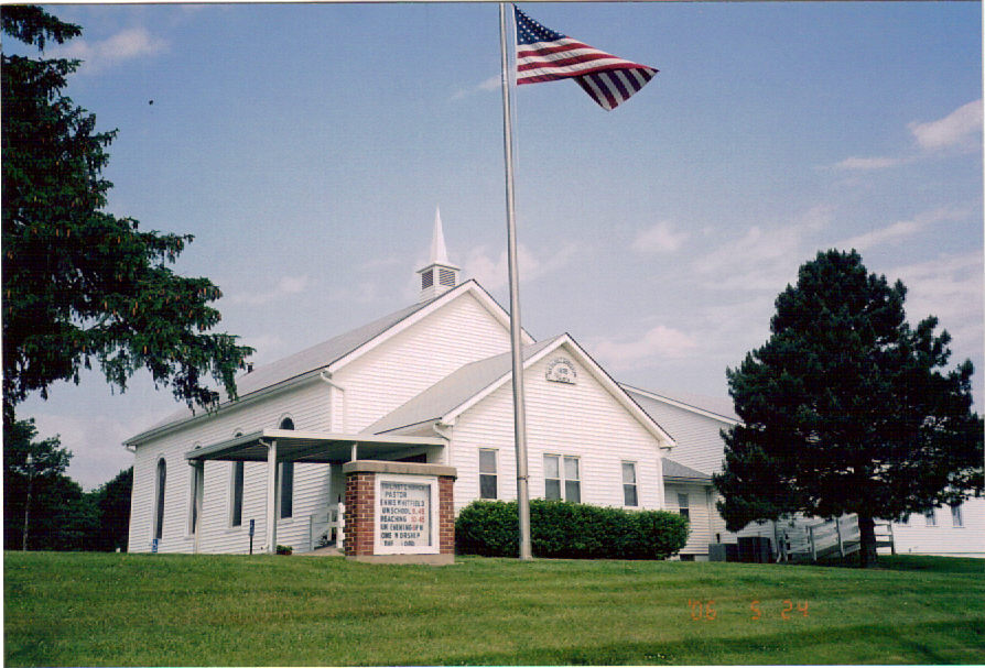
| Memorials | : | 1 |
| Location | : | Smithville, Clay County, USA |
| Coordinate | : | 39.3320150, -94.5286950 |
frequently asked questions (FAQ):
-
Where is Mount Olivet Christian Church Cemetery?
Mount Olivet Christian Church Cemetery is located at Smithville, Clay County ,Missouri ,USA.
-
Mount Olivet Christian Church Cemetery cemetery's updated grave count on graveviews.com?
1 memorials
-
Where are the coordinates of the Mount Olivet Christian Church Cemetery?
Latitude: 39.3320150
Longitude: -94.5286950
Nearby Cemetories:
1. Corum-Judy Cemetery
Clay County, USA
Coordinate: 39.3343520, -94.5564480
2. Saint Anns Cemetery
Liberty, Clay County, USA
Coordinate: 39.3020401, -94.5231094
3. Resurrection Cemetery
Kansas City, Clay County, USA
Coordinate: 39.3013992, -94.5196991
4. Watkins Cemetery
Clay County, USA
Coordinate: 39.3513985, -94.4760971
5. Providence Church Graveyard
Liberty, Clay County, USA
Coordinate: 39.3136101, -94.4736099
6. K.M. Woods Family Cemetery
Smithville, Clay County, USA
Coordinate: 39.3397300, -94.5906400
7. Thatcher Cemetery
Smithville, Clay County, USA
Coordinate: 39.3662400, -94.5816800
8. Brooks Cemetery
Smithville, Clay County, USA
Coordinate: 39.3753014, -94.5699997
9. Old Providence Cemetery
Clay County, USA
Coordinate: 39.3097000, -94.4638977
10. Duncan Cemetery
Smithville, Clay County, USA
Coordinate: 39.3867336, -94.5214471
11. Terrace Park Cemetery
Kansas City, Clay County, USA
Coordinate: 39.2885017, -94.5888977
12. Ecton Cemetery
Clay County, USA
Coordinate: 39.3807983, -94.4713974
13. Smithville Memorial Cemetery
Smithville, Clay County, USA
Coordinate: 39.3924713, -94.5837021
14. Wood Cemetery
Smithville, Clay County, USA
Coordinate: 39.3816800, -94.6004500
15. Owens Cemetery
Smithville, Clay County, USA
Coordinate: 39.3993500, -94.5719200
16. Little Shoal Cemetery
Liberty, Clay County, USA
Coordinate: 39.2736015, -94.4646988
17. Richard Simms Burying Grounds
Liberty, Clay County, USA
Coordinate: 39.3449000, -94.4310000
18. Mann-Vance-Young Burying Ground
Platte County, USA
Coordinate: 39.3544800, -94.6234900
19. Oak Grove Cemetery
Platte County, USA
Coordinate: 39.3396100, -94.6307800
20. Shafer Cemetery
Smithville, Clay County, USA
Coordinate: 39.4013300, -94.5790900
21. Second Creek Cemetery
Ferrelview, Platte County, USA
Coordinate: 39.3120995, -94.6287003
22. Aker Cemetery
Clay County, USA
Coordinate: 39.4109955, -94.5460129
23. Pancake Cemetery
Platte County, USA
Coordinate: 39.3493996, -94.6299973
24. Pickett Cemetery
Liberty, Clay County, USA
Coordinate: 39.2963982, -94.4285965


