
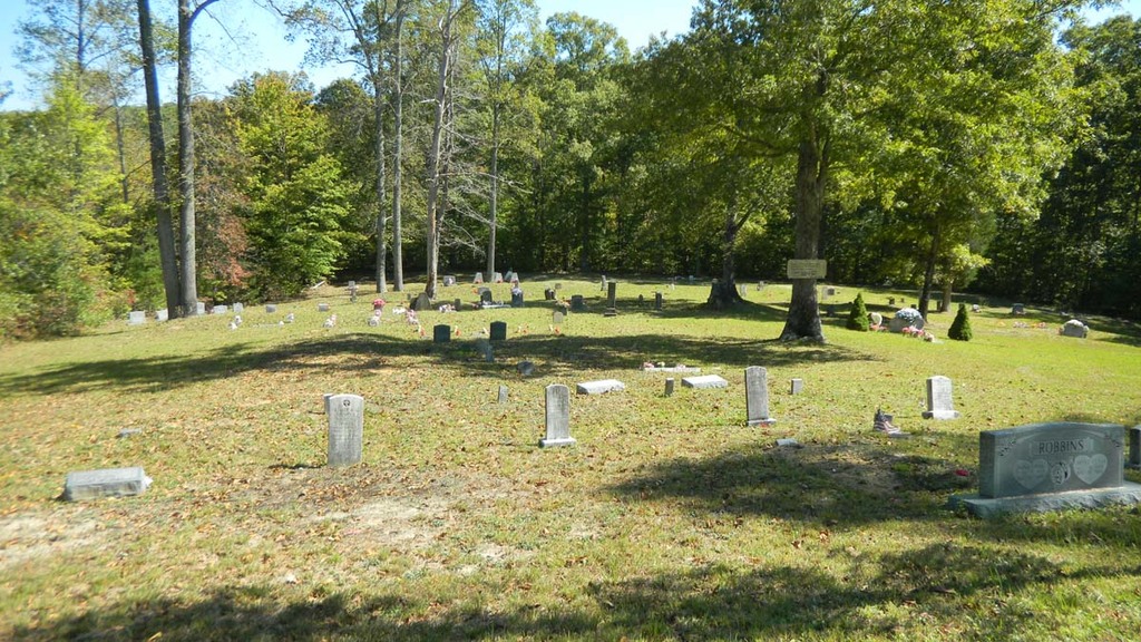
| Memorials | : | 13 |
| Location | : | Fentress County, USA |
| Coordinate | : | 36.3161011, -85.1216965 |
| Description | : | From Crawford, take TN 164 N and travel 1.2 miles. Turn right onto TN 85 E and travel 1.6 miles. Turn left onto Cravenstown Road and travel 1.9 miles to Cooktown Road. Travel 0.2 mi and turn right onto Sells Cemetery Road. Travel 1.1 mile. The cemetery is at the end of the road. |
frequently asked questions (FAQ):
-
Where is Sells Cemetery?
Sells Cemetery is located at Fentress County ,Tennessee ,USA.
-
Sells Cemetery cemetery's updated grave count on graveviews.com?
13 memorials
-
Where are the coordinates of the Sells Cemetery?
Latitude: 36.3161011
Longitude: -85.1216965
Nearby Cemetories:
1. Welcome Missionary Baptist Church Cemetery
Sandy, Fentress County, USA
Coordinate: 36.2974300, -85.1041200
2. Robbins Cemetery
Davidson, Fentress County, USA
Coordinate: 36.2789200, -85.1114000
3. Cub Cemetery
Overton County, USA
Coordinate: 36.3058014, -85.1718979
4. Boles Cemetery
Fentress County, USA
Coordinate: 36.3094200, -85.0691500
5. Davidson Cemetery
Fentress County, USA
Coordinate: 36.2747002, -85.0991974
6. Dillon Farm Cemetery
Sandy, Fentress County, USA
Coordinate: 36.2933000, -85.0711900
7. Shiloh Cemetery
Allred, Overton County, USA
Coordinate: 36.3119011, -85.1866989
8. Allred Cemetery
Overton County, USA
Coordinate: 36.3269520, -85.1860250
9. Falling Springs Cemetery
Alpine, Overton County, USA
Coordinate: 36.3408012, -85.1813965
10. Honey Springs Cemetery
Overton County, USA
Coordinate: 36.2644005, -85.1694031
11. Walker Mountain Cemetery
Crawford, Overton County, USA
Coordinate: 36.2859840, -85.1977450
12. Joe May Copeland Cemetery
Overton County, USA
Coordinate: 36.3777930, -85.1737400
13. Duggan-Smith Linder Cemetery
Fentress County, USA
Coordinate: 36.3911000, -85.0906000
14. Ferrill Cemetery
Overton County, USA
Coordinate: 36.3887280, -85.1627970
15. Dry Fork Cemetery
Allred, Overton County, USA
Coordinate: 36.2970000, -85.2182900
16. Andy Smith Cemetery
Manson, Fentress County, USA
Coordinate: 36.3955994, -85.0875015
17. Calvary Freewill Baptist Church Cemetery
Overton County, USA
Coordinate: 36.2359310, -85.1545520
18. George M and Barbara Norrod Phillips Cemetery
Hanging Limb, Overton County, USA
Coordinate: 36.2361910, -85.1633070
19. Bills Creek Cemetery
Fentress County, USA
Coordinate: 36.3642006, -85.0318985
20. Hanging Limb Missionary Baptist Cemetery
Hanging Limb, Overton County, USA
Coordinate: 36.2350006, -85.1624985
21. Goney Cemetery
Grimsley, Fentress County, USA
Coordinate: 36.2771988, -85.0242004
22. F A Norrod Memorial Cemetery
Hanging Limb, Overton County, USA
Coordinate: 36.2345000, -85.1635000
23. Hill-Gunter Cemetery
Allred, Overton County, USA
Coordinate: 36.4012200, -85.1521100
24. Hayter Cemetery
Livingston, Overton County, USA
Coordinate: 36.3807983, -85.1986008