
| Memorials | : | 35 |
| Location | : | Sempringham Fen, South Kesteven District, England |
| Coordinate | : | 52.8789250, -0.3583360 |
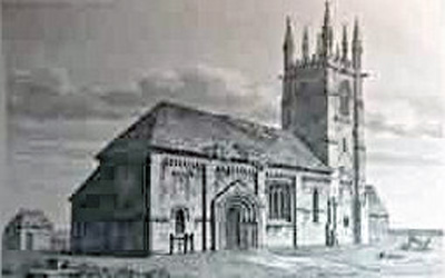
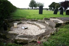
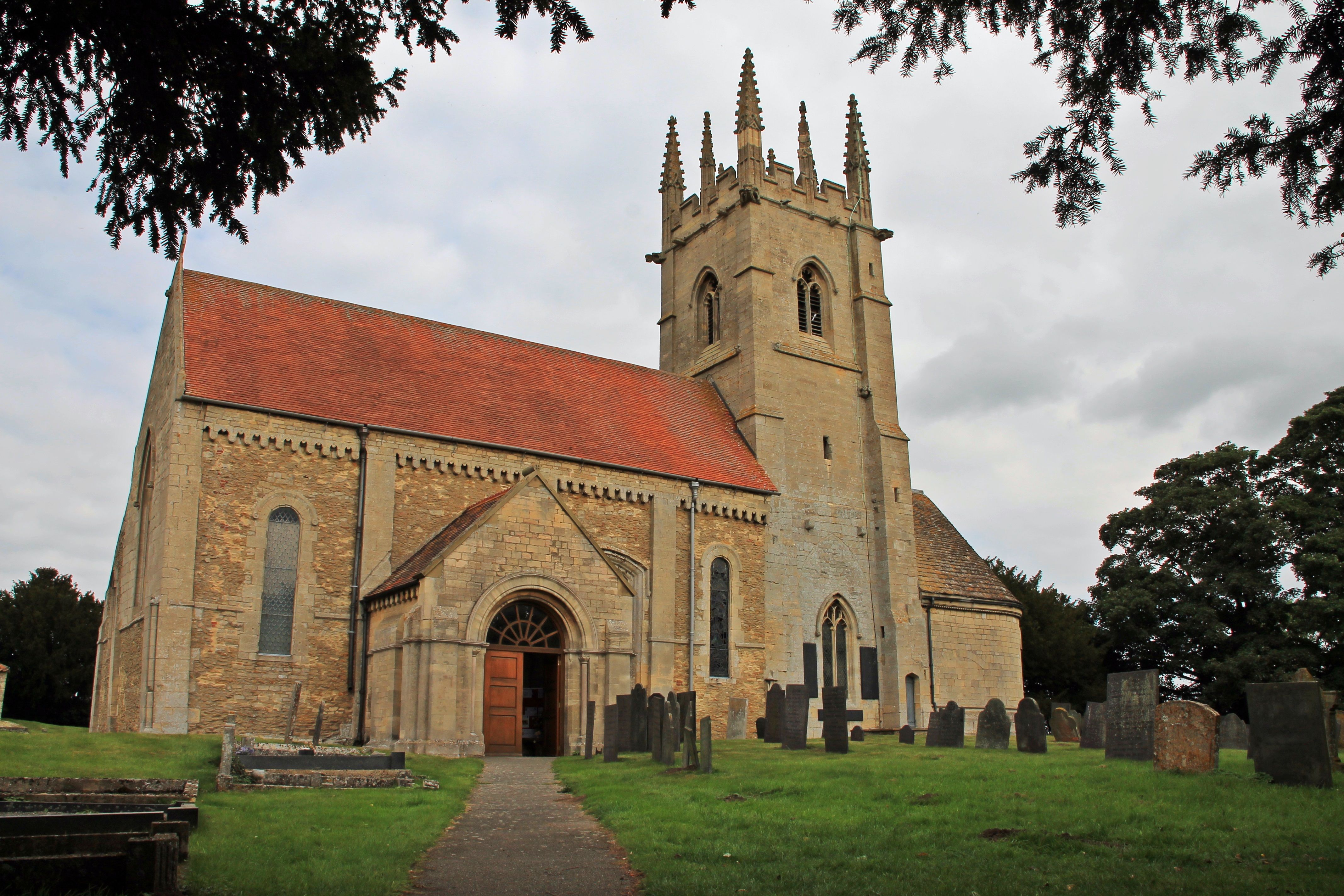
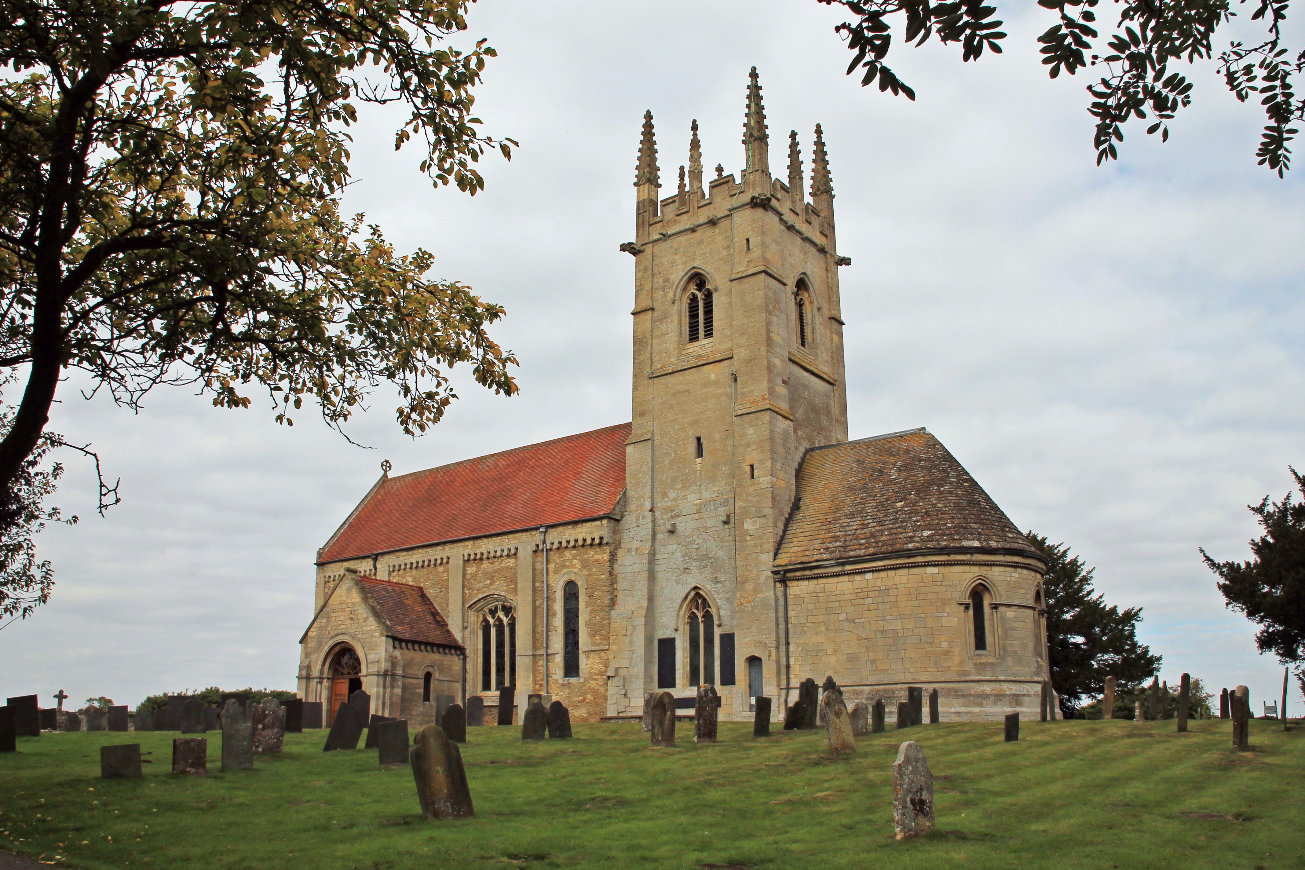
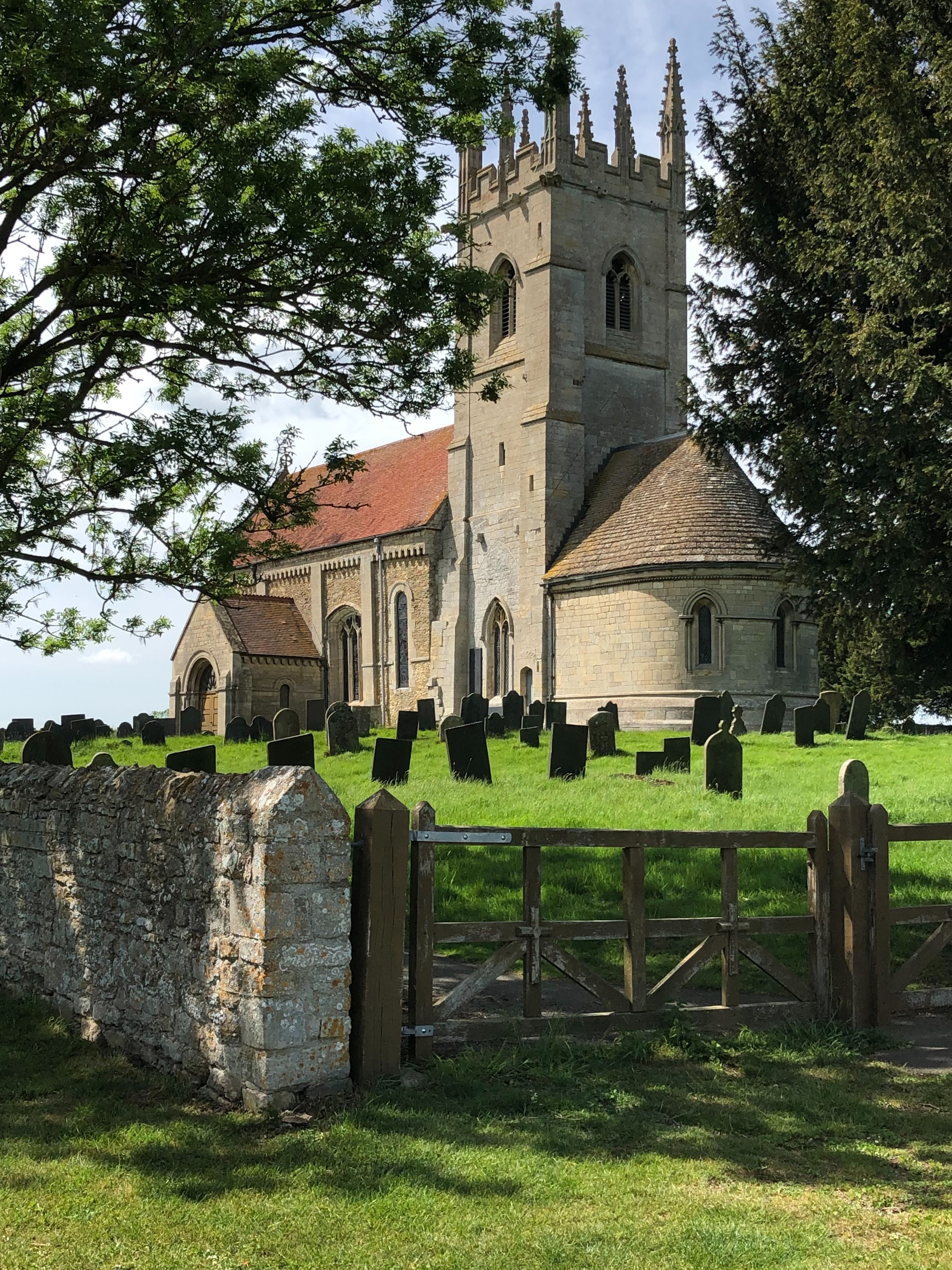
| Description | : | About 1100, Jocelin of Sempringham replaced the Saxon church with a new church dedicated to St Andrew. Jocelin had a son named Gilbert, and it is St. Gilbert of Sempringham (canonized in 1202) whose name will forever be associated with the site. In 1131, Gilbert built a simple range of buildings against the north wall of the church, with accommodation for seven local women, who vowed to live a life of charity, obedience, chastity, and humility. This was the beginning of the Gilbertine Order, the only completely British monastic order during the Middle Ages. The original monastic buildings proved inadequate,... Read More |
frequently asked questions (FAQ):
-
Where is Sempringham Priory?
Sempringham Priory is located at Sempringham Fen, South Kesteven District ,Lincolnshire ,England.
-
Sempringham Priory cemetery's updated grave count on graveviews.com?
35 memorials
-
Where are the coordinates of the Sempringham Priory?
Latitude: 52.8789250
Longitude: -0.3583360
Nearby Cemetories:
1. Billingborough Cemetery
Billingborough, South Kesteven District, England
Coordinate: 52.8907700, -0.3497700
2. St. Andrew's Churchyard
Billingborough, South Kesteven District, England
Coordinate: 52.8940140, -0.3397660
3. Aslackby Cemetery
Aslackby, South Kesteven District, England
Coordinate: 52.8597838, -0.3855002
4. St James the Great Churchyard
Aslackby, South Kesteven District, England
Coordinate: 52.8600900, -0.3894200
5. St Andrew Churchyard
Horbling, South Kesteven District, England
Coordinate: 52.9028460, -0.3380407
6. St Andrew Churchyard
Folkingham, South Kesteven District, England
Coordinate: 52.8903840, -0.4092130
7. St Peter Church
Threekingham, North Kesteven District, England
Coordinate: 52.9116000, -0.3812000
8. St Andrew's Churchyard
Rippingale, South Kesteven District, England
Coordinate: 52.8366700, -0.3718000
9. St Nicholas Churchyard
Walcot, North Kesteven District, England
Coordinate: 52.9035930, -0.4252890
10. St Peter & St Paul Churchyard
Osbournby, North Kesteven District, England
Coordinate: 52.9298800, -0.4105100
11. St Andrew's Churchyard
Haconby, South Kesteven District, England
Coordinate: 52.8135400, -0.3594300
12. St. Andrew's Churchyard
Scredington, North Kesteven District, England
Coordinate: 52.9498300, -0.3701700
13. St. Lucia Churchyard
Dembleby, North Kesteven District, England
Coordinate: 52.9268000, -0.4512300
14. St John the Baptist Churchyard
Morton, South Kesteven District, England
Coordinate: 52.8025100, -0.3724200
15. St Thomas Churchyard
Aunsby, North Kesteven District, England
Coordinate: 52.9367820, -0.4470450
16. St Andrews Churchyard
Helpringham, North Kesteven District, England
Coordinate: 52.9519900, -0.3065200
17. St Andrew's Churchyard
Helpringham, North Kesteven District, England
Coordinate: 52.9521000, -0.3065000
18. St. Andrew Churchyard
Burton Pedwardine, North Kesteven District, England
Coordinate: 52.9646176, -0.3348618
19. St Gilbert and St Hugh Churchyard
Gosberton Clough, South Holland District, England
Coordinate: 52.8518081, -0.2166268
20. Donington New Cemetery
Donington, South Holland District, England
Coordinate: 52.9071410, -0.2059100
21. St. Mary and the Holy Rood Churchyard
Donington, South Holland District, England
Coordinate: 52.9072790, -0.2050080
22. Donington Old Cemetery
Donington, South Holland District, England
Coordinate: 52.9091670, -0.2055560
23. Great Hale New Cemetery
Great Hale, North Kesteven District, England
Coordinate: 52.9678690, -0.2940500
24. St John the Baptist Churchyard
Great Hale, North Kesteven District, England
Coordinate: 52.9712140, -0.2914550