
| Memorials | : | 11 |
| Location | : | Berger, Franklin County, USA |
| Coordinate | : | 38.5959000, -91.3265000 |
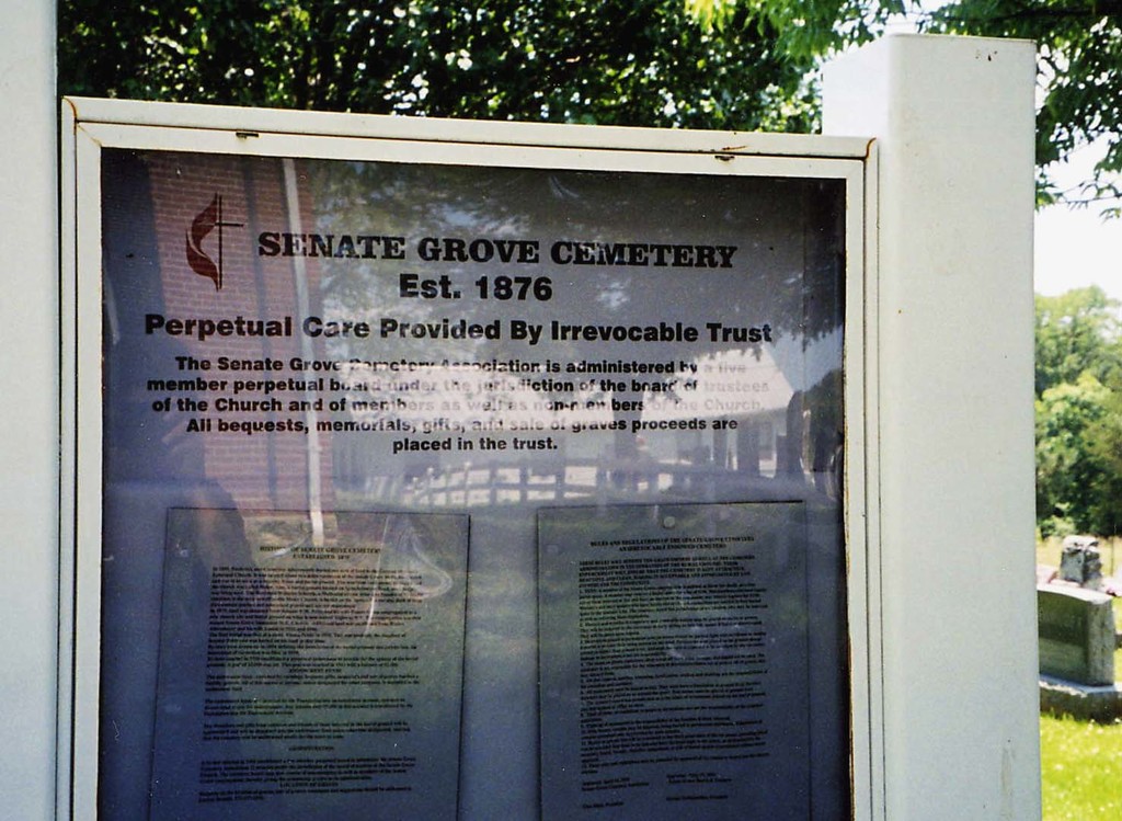
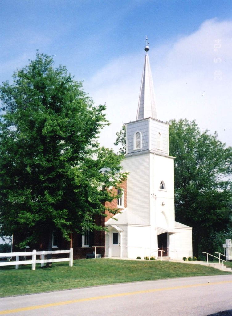
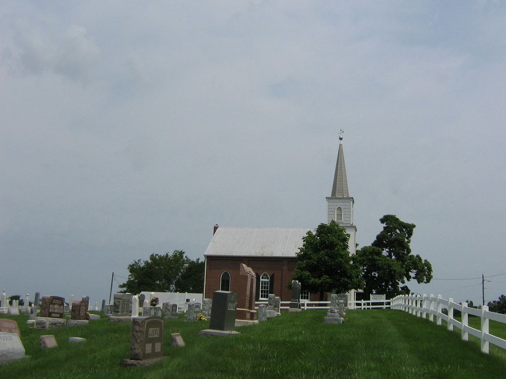
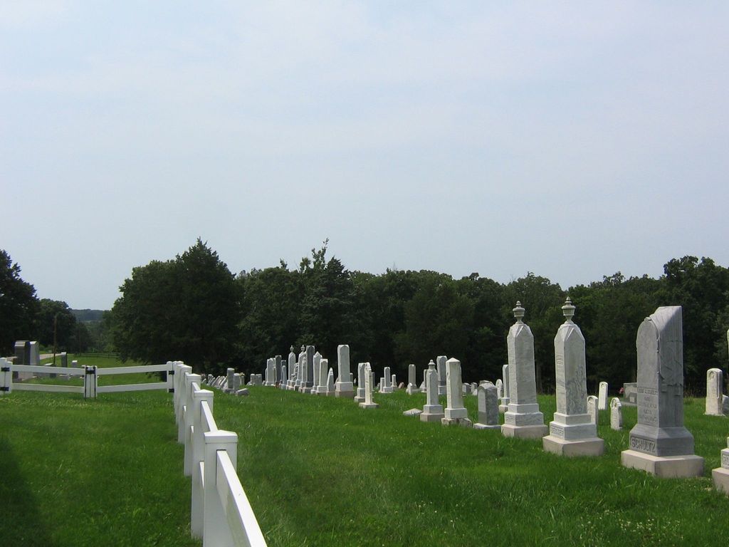
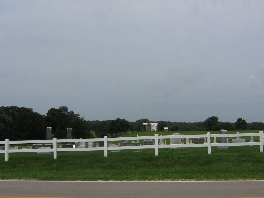
| Description | : | HISTORY OF SENATE GROVE CEMETERY - ESTABLISHED 1876 In 1859, Frederick and Catherina Alberswerth deeded one acre of land to the German Methodist Episcopal Church. It was located about two miles northwest of the Senate Grove Methodist Church and was to be used as a meeting house and burial ground. This was from land owned by Weber and Meier.The church was called Meier. Also a burial ground located on Spreckelmeyer Road near Berger, was being used. The Reverend Wilhelm Schreck, a Methodist circuit rider and founder of Methodist churches in the area as well as the Meier... Read More |
frequently asked questions (FAQ):
-
Where is Senate Grove Cemetery?
Senate Grove Cemetery is located at Berger, Franklin County ,Missouri ,USA.
-
Senate Grove Cemetery cemetery's updated grave count on graveviews.com?
11 memorials
-
Where are the coordinates of the Senate Grove Cemetery?
Latitude: 38.5959000
Longitude: -91.3265000
Nearby Cemetories:
1. Freese Cemetery
Kohl City, Franklin County, USA
Coordinate: 38.6002370, -91.3243680
2. Smith Cemetery of Senate Grove
Berger, Franklin County, USA
Coordinate: 38.5833000, -91.3237800
3. Meyers Cemetery
Franklin County, USA
Coordinate: 38.5839005, -91.3047028
4. Kohlbusch Family Cemetery
New Haven, Franklin County, USA
Coordinate: 38.5747430, -91.3323930
5. Meyer Family Cemetery
New Haven, Franklin County, USA
Coordinate: 38.5831929, -91.3034617
6. Kohlbush Cemetery
Franklin County, USA
Coordinate: 38.5741997, -91.3330994
7. Helling Cemetery
Franklin County, USA
Coordinate: 38.5710983, -91.3202972
8. Hempelmann Cemetery
New Haven, Franklin County, USA
Coordinate: 38.6036500, -91.2954300
9. Bohnsack Cemetery
Berger, Franklin County, USA
Coordinate: 38.6125600, -91.3016700
10. Von Behren Family Cemetery
Kohl City, Franklin County, USA
Coordinate: 38.5959770, -91.3645790
11. Dahl Cemetery
Gasconade County, USA
Coordinate: 38.5910988, -91.3728027
12. Drewel Cemetery
Franklin County, USA
Coordinate: 38.6302986, -91.3091965
13. Kallmeyer #1 Cemetery
Berger, Franklin County, USA
Coordinate: 38.6329000, -91.3217800
14. Kallmeyier Cemetery
Franklin County, USA
Coordinate: 38.6356010, -91.3210983
15. Kallmeyer #2 Cemetery
Berger, Franklin County, USA
Coordinate: 38.6362700, -91.3236000
16. Bade Cemetery
Berger, Franklin County, USA
Coordinate: 38.6366997, -91.3311005
17. Bethany Evangelical Cemetery
Berger, Franklin County, USA
Coordinate: 38.6253100, -91.3642500
18. Methodist Cemetery
Franklin County, USA
Coordinate: 38.6431007, -91.3525009
19. Roth Cemetery
Gasconade County, USA
Coordinate: 38.5705986, -91.3886032
20. Oberwortmann-Fallbeck Cemetery
Berger, Franklin County, USA
Coordinate: 38.6516800, -91.3060700
21. Saint James Cemetery
New Haven, Franklin County, USA
Coordinate: 38.5459500, -91.3678600
22. Hoemann Cemetery
Detmold, Franklin County, USA
Coordinate: 38.5343500, -91.3185400
23. Detmold Cemetery
Detmold, Franklin County, USA
Coordinate: 38.5385000, -91.2935300
24. Saint Johns Cemetery
Berger, Franklin County, USA
Coordinate: 38.6575012, -91.3443985