| Memorials | : | 807 |
| Location | : | Sevenhill, District Council of Clare and Gilbert Valleys, Australia |
| Coordinate | : | -33.8861020, 138.6312260 |
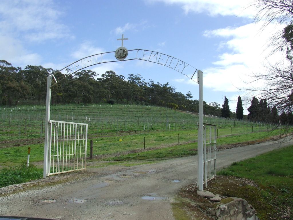
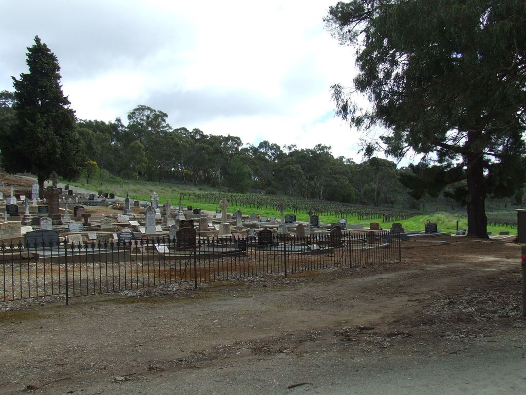
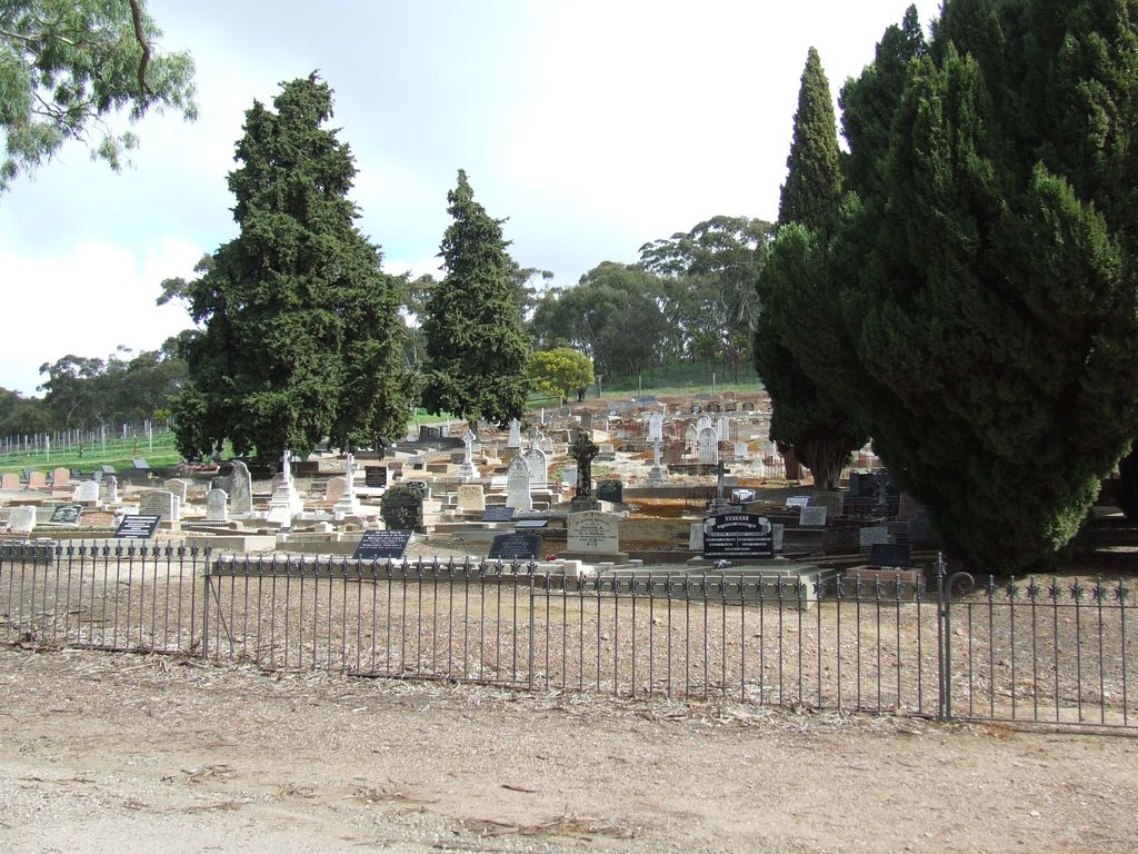
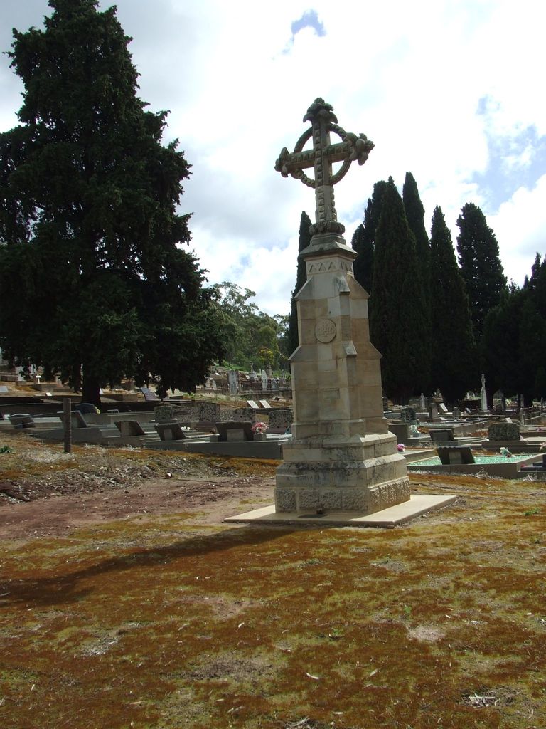
| Description | : | The Cemetery is located in the town of Sevenhill, just south of Clare. Burials date from 1875. The Cemetery is controlled by the Catholic Church. |
frequently asked questions (FAQ):
-
Where is Sevenhill Cemetery?
Sevenhill Cemetery is located at College Road Sevenhill, District Council of Clare and Gilbert Valleys ,South Australia , 5453Australia.
-
Sevenhill Cemetery cemetery's updated grave count on graveviews.com?
807 memorials
-
Where are the coordinates of the Sevenhill Cemetery?
Latitude: -33.8861020
Longitude: 138.6312260
Nearby Cemetories:
1. Clare Spring Farm Wesleyan Cemetery
Clare, District Council of Clare and Gilbert Valleys, Australia
Coordinate: -33.8630660, 138.6387190
2. St. Mark's Angelican Cemetery
Penwortham, District Council of Clare and Gilbert Valleys, Australia
Coordinate: -33.9214510, 138.6413830
3. Clare General Cemetery
Clare, District Council of Clare and Gilbert Valleys, Australia
Coordinate: -33.8429900, 138.6016430
4. St. Michael's Catholic Cemetery
Clare, District Council of Clare and Gilbert Valleys, Australia
Coordinate: -33.8363060, 138.6096630
5. Clare Presbyterian Cemetery
Clare, District Council of Clare and Gilbert Valleys, Australia
Coordinate: -33.8338460, 138.6156330
6. St. Barnabas Anglican Cemetery
Clare, District Council of Clare and Gilbert Valleys, Australia
Coordinate: -33.8301000, 138.6127000
7. Mintaro Cemetery
Mintaro, District Council of Clare and Gilbert Valleys, Australia
Coordinate: -33.9175520, 138.7164540
8. Mintaro Catholic Cemetery
Mintaro, District Council of Clare and Gilbert Valleys, Australia
Coordinate: -33.9124530, 138.7194630
9. White Hut Gaelic Cemetery
Clare, District Council of Clare and Gilbert Valleys, Australia
Coordinate: -33.8040010, 138.6283890
10. Watervale Cemetery
Clare, District Council of Clare and Gilbert Valleys, Australia
Coordinate: -33.9678890, 138.6546991
11. White Hut Cemetery
Stanley Flat, District Council of Clare and Gilbert Valleys, Australia
Coordinate: -33.7971650, 138.6234010
12. Stanley Flat Gaelic Cemetery
Clare, District Council of Clare and Gilbert Valleys, Australia
Coordinate: -33.7915580, 138.6066290
13. Kybunga Cemetery
Hoyleton, Wakefield Regional Council, Australia
Coordinate: -33.9202100, 138.5197360
14. Leasingham Upper Skilly Cemetery
Auburn, District Council of Clare and Gilbert Valleys, Australia
Coordinate: -33.9996690, 138.6179280
15. Blyth Cemetery
Blyth, Wakefield Regional Council, Australia
Coordinate: -33.8261460, 138.4943480
16. Springfield Cemetery
Williamstown, Barossa Council, Australia
Coordinate: -34.0000000, 138.5500000
17. Farrell Flat Cemetery
Farrell Flats, Goyder Regional Council, Australia
Coordinate: -33.8249685, 138.7857266
18. St John’s Anglican Cemetery
Auburn, District Council of Clare and Gilbert Valleys, Australia
Coordinate: -34.0264310, 138.6835587
19. St Michaels Anglican Church Cemetery
Bungaree, District Council of Clare and Gilbert Valleys, Australia
Coordinate: -33.7439580, 138.5616060
20. Auburn Cemetery
Auburn, District Council of Clare and Gilbert Valleys, Australia
Coordinate: -34.0314560, 138.7036850
21. Hoyleton Public Cemetery
Hoyleton, Wakefield Regional Council, Australia
Coordinate: -34.0482700, 138.5571510
22. Manoora Catholic Cemetery
Manoora, District Council of Clare and Gilbert Valleys, Australia
Coordinate: -33.9911920, 138.8144040
23. Undalya St. Patrick's Catholic Cemetery
Undalya, District Council of Clare and Gilbert Valleys, Australia
Coordinate: -34.0756230, 138.6930860
24. Manoora Public Cemetery
Manoora, District Council of Clare and Gilbert Valleys, Australia
Coordinate: -34.0127090, 138.8140030


