| Memorials | : | 4 |
| Location | : | Kirvin, Freestone County, USA |
| Coordinate | : | 31.7322006, -96.3308029 |
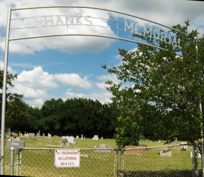
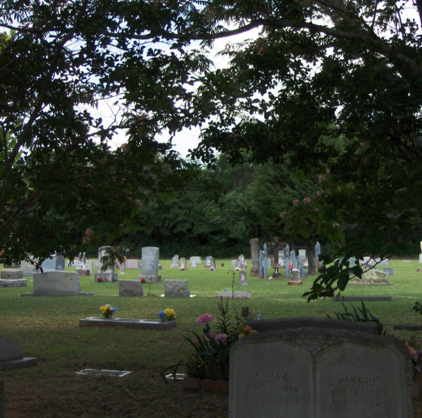
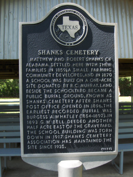
| Description | : | Directions: 3 miles south of Kirvin, on 950 just east of FM 80. Historical Marker: Matthews and Robert Shanks of Alabama settled here with their families in 1859. A small farming community developed, and in 1870 a school was built on a one-acre site donated by R. C. Murray. Land beside the schoolyard became a public burial ground, known as Shanks Cemetery after Shanks Post Office opened in 1896. The earliest recorded burial was Burgess A. Whatley (1854-1892). In 1893 G. W. Bell deeded another half acre east of the graveyard. The school building was torn down in 1917.... Read More |
frequently asked questions (FAQ):
-
Where is Shanks Cemetery?
Shanks Cemetery is located at On 950 just east of FM 80 Kirvin, Freestone County ,Texas ,USA.
-
Shanks Cemetery cemetery's updated grave count on graveviews.com?
4 memorials
-
Where are the coordinates of the Shanks Cemetery?
Latitude: 31.7322006
Longitude: -96.3308029
Nearby Cemetories:
1. J. I. Riddle Farm Cemetery
Freestone County, USA
Coordinate: 31.7255993, -96.3161011
2. Horn
Wortham, Freestone County, USA
Coordinate: 31.7563782, -96.3374786
3. Sessions Cemetery
Kirvin, Freestone County, USA
Coordinate: 31.7705994, -96.3217010
4. Carter Family Cemetery
Fairfield, Freestone County, USA
Coordinate: 31.7487290, -96.2834230
5. Woodland Cemetery
Kirvin, Freestone County, USA
Coordinate: 31.7838993, -96.3416977
6. McDonald Family Cemetery
Cotton Gin, Freestone County, USA
Coordinate: 31.7415260, -96.3935280
7. Rocky Branch Cemetery
Kirvin, Freestone County, USA
Coordinate: 31.7404820, -96.3943890
8. Cotton Gin Cemetery
Cotton Gin, Freestone County, USA
Coordinate: 31.6798401, -96.3520508
9. Webb-Branch Cemetery
Kirvin, Freestone County, USA
Coordinate: 31.7989006, -96.3341980
10. Dunagan Cemetery
Kirvin, Freestone County, USA
Coordinate: 31.7989920, -96.3353370
11. Oak Island Cemetery
Freestone County, USA
Coordinate: 31.6756001, -96.3764038
12. New Hope Cemetery
Cotton Gin, Freestone County, USA
Coordinate: 31.7031651, -96.4129333
13. New Zion Baptist Church Cemetery
Freestone, Freestone County, USA
Coordinate: 31.7028500, -96.4130200
14. Hopewell Cemetery
Teague, Freestone County, USA
Coordinate: 31.6611004, -96.2947006
15. Miller Cemetery
Freestone County, USA
Coordinate: 31.8089008, -96.3833008
16. George Cemetery
Freestone County, USA
Coordinate: 31.7005997, -96.2275009
17. Red Cemetery
Freestone County, USA
Coordinate: 31.8031006, -96.4039001
18. Hopson Burleson Memorial Cemetery
Freestone County, USA
Coordinate: 31.8046550, -96.2576850
19. Johnson Cemetery
Freestone County, USA
Coordinate: 31.7831001, -96.2328033
20. Antioch Cemetery
Teague, Freestone County, USA
Coordinate: 31.6399470, -96.2869110
21. Asia-Antioch Cemetery
Teague, Freestone County, USA
Coordinate: 31.6403008, -96.2857971
22. Grayson Chapel Cemetery
Teague, Freestone County, USA
Coordinate: 31.6265620, -96.3254110
23. Grove Island African Methodist Episcopal Cemetery
Teague, Freestone County, USA
Coordinate: 31.6278000, -96.3771973
24. Driver Cemetery
Teague, Freestone County, USA
Coordinate: 31.6664009, -96.2230988


