
| Memorials | : | 395 |
| Location | : | Morganville, Clay County, USA |
| Coordinate | : | 39.5316300, -97.2243700 |
frequently asked questions (FAQ):
-
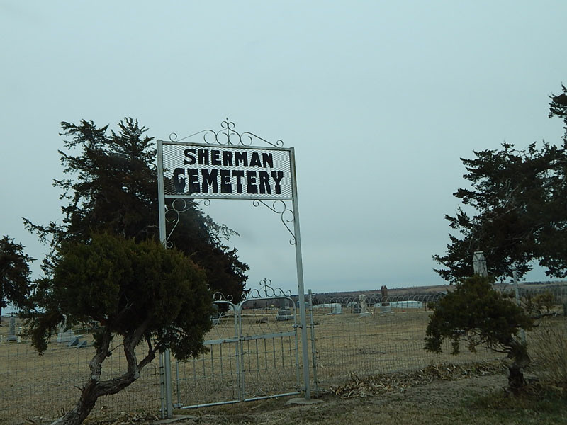
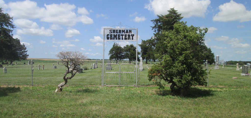
Where is Sherman Cemetery?
Sherman Cemetery is located at Morganville, Clay County ,Kansas ,USA.
-
Sherman Cemetery cemetery's updated grave count on graveviews.com?
395 memorials
-
Where are the coordinates of the Sherman Cemetery?
Latitude: 39.5316300
Longitude: -97.2243700
Nearby Cemetories:
1. Norwegian Lutheran Cemetery
Clay Center, Clay County, USA
Coordinate: 39.5027900, -97.1828200
2. Riverdale Cemetery
Clay County, USA
Coordinate: 39.5106010, -97.2930984
3. Morganville City Cemetery
Morganville, Clay County, USA
Coordinate: 39.4733009, -97.1819000
4. Swedish Evangelical Lutheran Cemetery
Clay County, USA
Coordinate: 39.4911700, -97.1455100
5. Garfield Center Mission Cemetery
Clay Center, Clay County, USA
Coordinate: 39.5243100, -97.1277500
6. Bloom Cemetery
Morganville, Clay County, USA
Coordinate: 39.4519005, -97.2778015
7. Swedish Pleasant Hill Cemetery
Clay Center, Clay County, USA
Coordinate: 39.4735985, -97.1268997
8. Idylwilde Cemetery
Clay Center, Clay County, USA
Coordinate: 39.5097900, -97.0713000
9. Lincoln Cemetery
Clay Center, Clay County, USA
Coordinate: 39.4230995, -97.2930984
10. Iwacura Cemetery
Morganville, Clay County, USA
Coordinate: 39.4550000, -97.3510000
11. Hayes Cemetery
Clay County, USA
Coordinate: 39.4516983, -97.0811005
12. Saint Joseph Cemetery
Saint Joseph, Cloud County, USA
Coordinate: 39.5074941, -97.4022328
13. Cedar Grove Cemetery
Clyde, Cloud County, USA
Coordinate: 39.5494003, -97.4056015
14. Joseph Sender Family Cemetery
Clay County, USA
Coordinate: 39.5090600, -97.0348800
15. Greenwood Cemetery
Clay Center, Clay County, USA
Coordinate: 39.4011002, -97.1275024
16. Saint Peter and Saint Pauls Catholic Cemetery
Clay Center, Clay County, USA
Coordinate: 39.4005450, -97.1236680
17. Wilson Cemetery
Clay County, USA
Coordinate: 39.3800011, -97.1896973
18. Brethren in Christ Cemetery
Clay County, USA
Coordinate: 39.4810982, -97.0344009
19. Mount Calvary Cemetery
Clyde, Cloud County, USA
Coordinate: 39.5917015, -97.4143982
20. Mount Hope Cemetery
Clyde, Cloud County, USA
Coordinate: 39.5969009, -97.4116974
21. Goshen Central Cemetery
Clay Center, Clay County, USA
Coordinate: 39.5099983, -97.0160980
22. Pleasant View Cemetery
Ames, Cloud County, USA
Coordinate: 39.5346985, -97.4431000
23. French Presbyterian Church Cemetery
Cloud County, USA
Coordinate: 39.4395200, -97.4148290
24. Appleton Cemetery
Clay County, USA
Coordinate: 39.5250015, -96.9972000