
| Memorials | : | 0 |
| Location | : | Shumway, Navajo County, USA |
| Coordinate | : | 34.4077988, -110.0824966 |
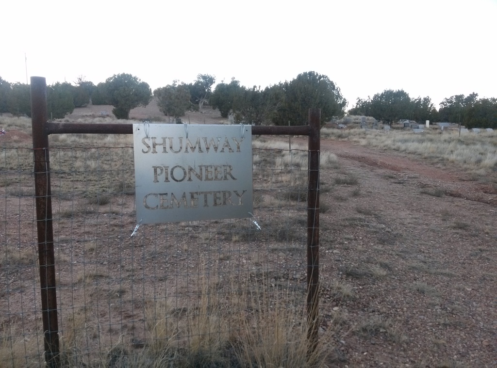
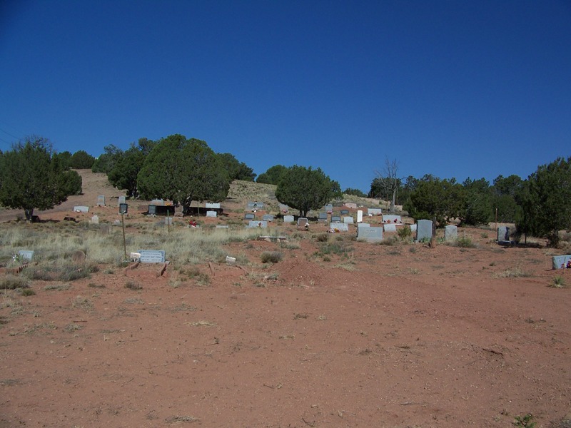
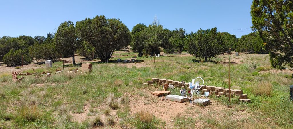
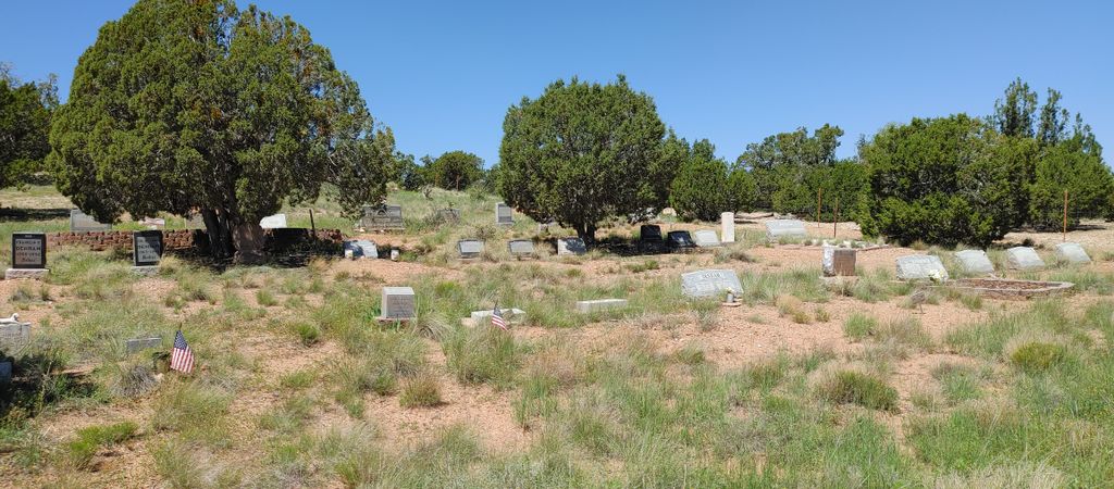
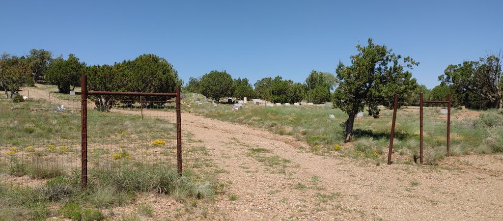
| Description | : | Shumway is a small community founded in the late 1800’s and named after Charles Shumway, an early pioneer settler. It is located on Hwy. 77 between the towns of Show Low (12 miles to the South) and Taylor (4 miles to the north). Further north is Snowflake, AZ (8 miles north of Shumway) The cemetery is located on a dirt road west of Hwy. 77. From Hwy. 77, turn west onto Shumway Rd., then it becomes Cemetery Rd. The cemetery is fenced, but the front entrance is not gated. Cars can drive into the cemetery. |
frequently asked questions (FAQ):
-
Where is Shumway Cemetery?
Shumway Cemetery is located at Cemetery Road Shumway, Navajo County ,Arizona , 85901USA.
-
Shumway Cemetery cemetery's updated grave count on graveviews.com?
0 memorials
-
Where are the coordinates of the Shumway Cemetery?
Latitude: 34.4077988
Longitude: -110.0824966
Nearby Cemetories:
1. Love Lake Ranch Cemetery
Shumway, Navajo County, USA
Coordinate: 34.3984820, -110.0192360
2. Taylor Cemetery
Taylor, Navajo County, USA
Coordinate: 34.4644012, -110.0971985
3. Burton Cemetery
Navajo County, USA
Coordinate: 34.3314800, -110.1494000
4. R V Mike Ramsay Memorial Cemetery
Snowflake, Navajo County, USA
Coordinate: 34.5044000, -110.0869000
5. Frost Family Cemetery
Linden, Navajo County, USA
Coordinate: 34.2932816, -110.1576004
6. Adair Cemetery
Show Low, Navajo County, USA
Coordinate: 34.2688500, -110.0647300
7. Show Low Cemetery
Show Low, Navajo County, USA
Coordinate: 34.2576830, -110.0392330
8. Conklin Gravesite
Show Low, Navajo County, USA
Coordinate: 34.2551613, -110.0244522
9. Pinedale Cemetery
Pinedale, Navajo County, USA
Coordinate: 34.3068000, -110.2467000
10. Clay Springs Cemetery
Clay Springs, Navajo County, USA
Coordinate: 34.3686500, -110.2988300
11. Church Of Our Saviour Columbarium
Pinetop-Lakeside, Navajo County, USA
Coordinate: 34.1869800, -110.0050700
12. Lakeside Cemetery
Pinetop-Lakeside, Navajo County, USA
Coordinate: 34.1521930, -109.9895570
13. Grant Roadside Gravesite
Aripine, Navajo County, USA
Coordinate: 34.4258995, -110.4132767
14. Phipps Grave
Pinetop-Lakeside, Navajo County, USA
Coordinate: 34.1242300, -109.9310400
15. Saint Marys Angels Rest Columbarium
Pinetop-Lakeside, Navajo County, USA
Coordinate: 34.1228290, -109.9340080
16. Pinetop Cemetery
Pinetop-Lakeside, Navajo County, USA
Coordinate: 34.1212380, -109.9319030
17. Ward Cemetery
Concho, Apache County, USA
Coordinate: 34.6233014, -109.7602670
18. Vernon Cemetery
Vernon, Apache County, USA
Coordinate: 34.2421989, -109.6992035
19. Woodruff Cemetery
Woodruff, Navajo County, USA
Coordinate: 34.7775000, -110.0325000
20. Erastus Cemetery
Concho, Apache County, USA
Coordinate: 34.4722300, -109.6242800
21. McNary Church Cemetery
McNary, Apache County, USA
Coordinate: 34.0708950, -109.8451560
22. Overgaard Baby Cemetery
Overgaard, Navajo County, USA
Coordinate: 34.4011000, -110.5582900
23. Concho Catholic Cemetery
Concho, Apache County, USA
Coordinate: 34.4870770, -109.6064540
24. Heber Cemetery
Heber, Navajo County, USA
Coordinate: 34.4274635, -110.6049194