| Memorials | : | 0 |
| Location | : | Cainhoy, Berkeley County, USA |
| Coordinate | : | 32.8545889, -79.9061133 |
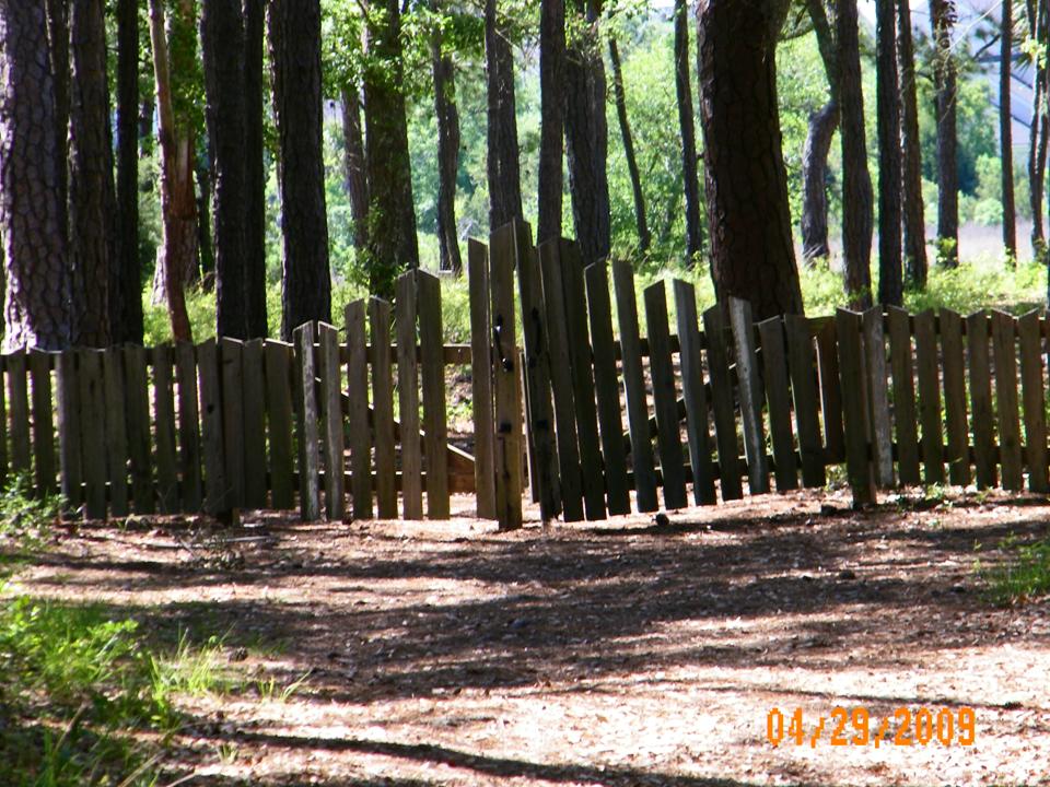
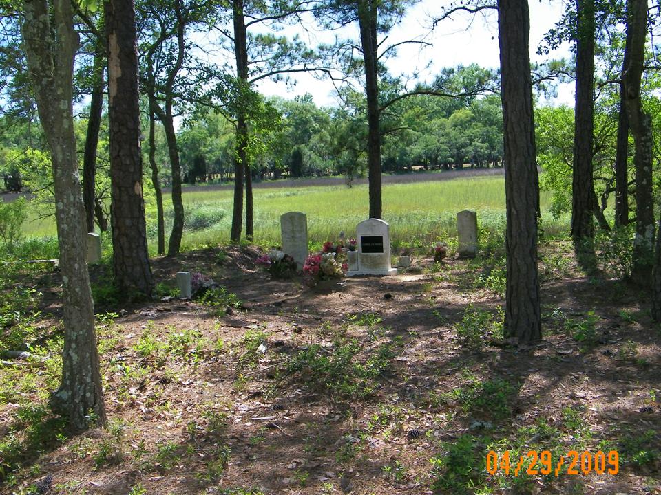
| Description | : | Simmons Cemetery is located on Daniel Island, in Berkeley Co. but annexed by the City of Charleston. It lies in a wooded area off a bike trail leading from Governor's Park. The name comes from Maurice Simmons, plantation owner before the Civil War. More data on the cemetery can be found in the book, Daniel Island by Michael K. Dahlman and his son, M.K., Jr., pub. by Arcadia Pub., 2007. |
frequently asked questions (FAQ):
-
Where is Simmons Cemetery?
Simmons Cemetery is located at Cainhoy, Berkeley County ,South Carolina ,USA.
-
Simmons Cemetery cemetery's updated grave count on graveviews.com?
0 memorials
-
Where are the coordinates of the Simmons Cemetery?
Latitude: 32.8545889
Longitude: -79.9061133
Nearby Cemetories:
1. Lesesne Family Cemetery
Wando, Berkeley County, USA
Coordinate: 32.8605500, -79.9000000
2. Alston Cemetery
Wando, Berkeley County, USA
Coordinate: 32.8728860, -79.8972400
3. Intercession Reformed Episcopal Church Cemetery
Wando, Berkeley County, USA
Coordinate: 32.8766320, -79.9325970
4. Nowell Creek
Charleston County, USA
Coordinate: 32.8755989, -79.8756027
5. Pritchard Family Cemetery
Mount Pleasant, Charleston County, USA
Coordinate: 32.8224640, -79.8917770
6. New Mary Ann Missionary Baptist Church Cemetery
Berkeley County, USA
Coordinate: 32.8879471, -79.9296112
7. I'on Cemetery
Hobcaw Point, Charleston County, USA
Coordinate: 32.8204780, -79.8838770
8. Scanlonville Cemetery
Mount Pleasant, Charleston County, USA
Coordinate: 32.8140700, -79.8981700
9. Holy Rock Temple of God Holiness Church
Wando, Berkeley County, USA
Coordinate: 32.8941803, -79.9233322
10. Saint Peters Catholic Church Cemetery
North Charleston, Charleston County, USA
Coordinate: 32.8484612, -79.9612656
11. Campbell Cemetery
Berkeley County, USA
Coordinate: 32.9031280, -79.9242990
12. Reserved Fellowship Cemetery
Charleston, Charleston County, USA
Coordinate: 32.8174150, -79.9476650
13. Magnolia Cemetery
Charleston, Charleston County, USA
Coordinate: 32.8164210, -79.9467160
14. Monrovia Union Cemetery
Charleston, Charleston County, USA
Coordinate: 32.8213270, -79.9527970
15. Morris Brown A.M.E. Church Cemetery
Charleston, Charleston County, USA
Coordinate: 32.8174324, -79.9484787
16. Brith Sholom Congregation Cemetery 1856
Charleston, Charleston County, USA
Coordinate: 32.8169600, -79.9479400
17. KKBI Cemetery
Charleston, Charleston County, USA
Coordinate: 32.8169400, -79.9479600
18. Emanuel AME Church Cemetery
Charleston, Charleston County, USA
Coordinate: 32.8169098, -79.9484100
19. Humane and Friendly Society Cemetery
Charleston, Charleston County, USA
Coordinate: 32.8162900, -79.9476800
20. Brotherly Association Cemetery
Charleston, Charleston County, USA
Coordinate: 32.8159070, -79.9473340
21. Saint Lawrence Cemetery
Charleston, Charleston County, USA
Coordinate: 32.8149414, -79.9464417
22. Lewis Christian Cemetery
Charleston, Charleston County, USA
Coordinate: 32.8163100, -79.9485500
23. Brown Fellowship Society Cemetery
Charleston, Charleston County, USA
Coordinate: 32.8157400, -79.9480200
24. Greek Cemetery
Charleston, Charleston County, USA
Coordinate: 32.8162100, -79.9489550


