| Memorials | : | 7 |
| Location | : | Rockbridge, Monroe County, USA |
| Coordinate | : | 36.7933000, -85.6834890 |
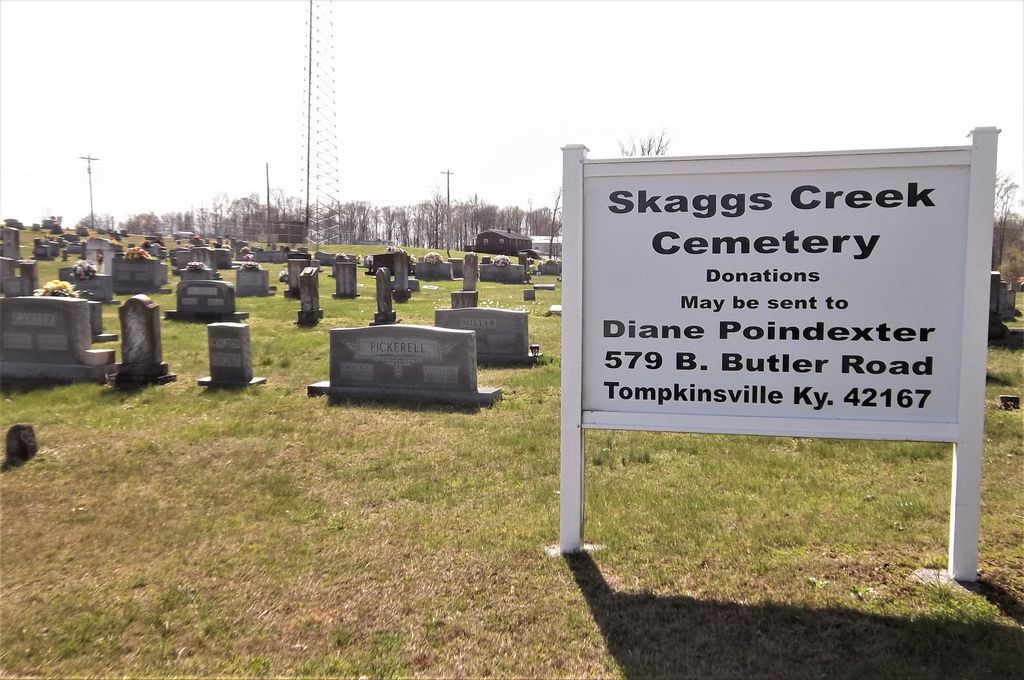
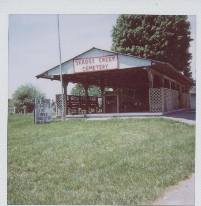
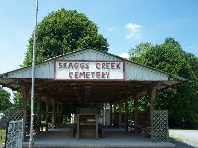
| Description | : | This cemetery is located on Highway 163N about a mile from Rockbridge and south of Skaggs Creek. It is approximately 7 acres with an annex across 1049, which was bought from the Amy and Frank Miller estate in app. 1990. The originial cemtetery was started in the 1830's. There is one memorial dated 1850, which is found to be the only legible one in the "Old" part, which is in the south end. The burial plots are free in the orginial cemetery. There has to be a stone planted designiated who it belongs to. The old cemetery is about... Read More |
frequently asked questions (FAQ):
-
Where is Skaggs Creek Cemetery?
Skaggs Creek Cemetery is located at Rockbridge, Monroe County ,Kentucky ,USA.
-
Skaggs Creek Cemetery cemetery's updated grave count on graveviews.com?
7 memorials
-
Where are the coordinates of the Skaggs Creek Cemetery?
Latitude: 36.7933000
Longitude: -85.6834890
Nearby Cemetories:
1. Norman Cemetery
Monroe County, USA
Coordinate: 36.7753210, -85.6855300
2. Miller Farm Cemetery
Tompkinsville, Monroe County, USA
Coordinate: 36.7665201, -85.6764727
3. Strode Garden Cemetery
Rockbridge, Monroe County, USA
Coordinate: 36.7720930, -85.6546460
4. Old Strode Cemetery
Tompkinsville, Monroe County, USA
Coordinate: 36.7725840, -85.6538860
5. Pleasant Hill Church Cemetery
Persimmon, Monroe County, USA
Coordinate: 36.7878000, -85.6424000
6. White Cemetery
Sulphur Lick, Monroe County, USA
Coordinate: 36.8096000, -85.7396000
7. Mount Gilead Church of Christ Cemetery
Tompkinsville, Monroe County, USA
Coordinate: 36.7469000, -85.6994000
8. Monroe County Memorial Lawn
Tompkinsville, Monroe County, USA
Coordinate: 36.7400000, -85.6904000
9. Page Cemetery
Persimmon, Monroe County, USA
Coordinate: 36.8068680, -85.6182730
10. Scott's Pleasant Acre Cemetery
Tompkinsville, Monroe County, USA
Coordinate: 36.7427145, -85.6456353
11. Old Mount Herman Cemetery
Tompkinsville, Monroe County, USA
Coordinate: 36.7448230, -85.6400490
12. Huffman Cemetery
Summer Shade, Metcalfe County, USA
Coordinate: 36.8530540, -85.6996800
13. Mosier Cemetery
Metcalfe County, USA
Coordinate: 36.8532982, -85.7007980
14. Dubree Cemetery
Summer Shade, Metcalfe County, USA
Coordinate: 36.8532982, -85.6622009
15. McPherson Cemetery
Monroe County, USA
Coordinate: 36.8244019, -85.7561035
16. Old Bowles Burying Ground
Mount Hermon, Monroe County, USA
Coordinate: 36.7956800, -85.7661800
17. Wade Cemetery
Metcalfe County, USA
Coordinate: 36.8559010, -85.7129150
18. Harvey-White Cemetery
Willow Shade, Metcalfe County, USA
Coordinate: 36.8352680, -85.6138650
19. Mount Zion Cemetery
Tompkinsville, Monroe County, USA
Coordinate: 36.7229940, -85.6785750
20. Payne Cemetery
Tompkinsville, Monroe County, USA
Coordinate: 36.8097000, -85.7703018
21. Hodges Cemetery
Metcalfe County, USA
Coordinate: 36.8538889, -85.7352778
22. Gee-Harvey Cemetery
Summer Shade, Metcalfe County, USA
Coordinate: 36.8672670, -85.6769580
23. Harvey Cemetery
Summer Shade, Metcalfe County, USA
Coordinate: 36.8430140, -85.6129760
24. Tooley Cemetery
Monroe County, USA
Coordinate: 36.7511950, -85.6043100


