
| Memorials | : | 0 |
| Location | : | Yanceyville, Caswell County, USA |
| Coordinate | : | 36.4594880, -79.3120620 |
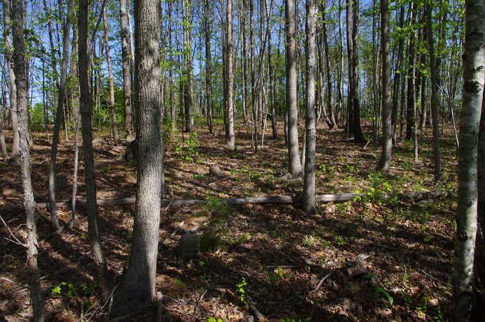
| Description | : | Community Cemetery on Private Property No Recorded Right of Public Access Property Owner's Permission Required This community cemetery is on a tract of the original Slade Farm and does not have a survey of record. The only inscribed marker is a fieldstone with the date "1839". Numerous graves are marked with fieldstones. Slade family descendants believe the cemetery may be the burial ground of the many slaves who lived and worked in the community. Presently, the cemetery is protected by a new fence enclosure and well maintained. The current property owners are committed to its preservation and interested in identifying... Read More |
frequently asked questions (FAQ):
-
Where is Slade Farm Community Cemetery?
Slade Farm Community Cemetery is located at County Home Road Yanceyville, Caswell County ,North Carolina ,USA.
-
Slade Farm Community Cemetery cemetery's updated grave count on graveviews.com?
0 memorials
-
Where are the coordinates of the Slade Farm Community Cemetery?
Latitude: 36.4594880
Longitude: -79.3120620
Nearby Cemetories:
1. Family Cemetery
Yanceyville, Caswell County, USA
Coordinate: 36.4634700, -79.3111800
2. Smith Family Cemetery
Hamer, Caswell County, USA
Coordinate: 36.4573260, -79.3041660
3. Perry Family Cemetery
Yanceyville, Caswell County, USA
Coordinate: 36.4674300, -79.3082700
4. Hooper Family Cemetery
Yanceyville, Caswell County, USA
Coordinate: 36.4460470, -79.3212250
5. Slade Cemetery
Purley, Caswell County, USA
Coordinate: 36.4653900, -79.3306230
6. Page Family Cemetery
Yanceyville, Caswell County, USA
Coordinate: 36.4429320, -79.3245720
7. Powell Cemetery
Yanceyville, Caswell County, USA
Coordinate: 36.4432000, -79.3252100
8. Hatchett Family Cemetery
Covington, Caswell County, USA
Coordinate: 36.4593400, -79.3389940
9. Totten-Finch-Foster-Taylor Cemetery
Blanch, Caswell County, USA
Coordinate: 36.4780770, -79.3336000
10. Totten Homeplace Cemetery
Blanch, Caswell County, USA
Coordinate: 36.4782200, -79.3339900
11. Harrison Family Cemetery
Purley, Caswell County, USA
Coordinate: 36.4851290, -79.3221740
12. McFarling Family Cemetery
Blanch, Caswell County, USA
Coordinate: 36.4702600, -79.3442490
13. Sassafras Grove Baptist Church Cemetery
Covington, Caswell County, USA
Coordinate: 36.4599240, -79.3487440
14. Family Cemetery at Melrose
Yanceyville, Caswell County, USA
Coordinate: 36.4348100, -79.2914600
15. Hamer Missionary Baptist Church Cemetery
Blanch, Caswell County, USA
Coordinate: 36.4532270, -79.2757990
16. Chandler Family Cemetery
Hamer, Caswell County, USA
Coordinate: 36.4504500, -79.2760900
17. Harrelson-Durham-Hodge Family Cemetery
Blanch, Caswell County, USA
Coordinate: 36.4862360, -79.3307370
18. Montgomery Family Cemetery
Blanch, Caswell County, USA
Coordinate: 36.4868150, -79.2946710
19. Community Baptist Church Cemetery
Yanceyville, Caswell County, USA
Coordinate: 36.4570000, -79.3503000
20. Long Family Cemetery
Hamer, Caswell County, USA
Coordinate: 36.4432640, -79.2776920
21. Chandler Cemetery
Hamer, Caswell County, USA
Coordinate: 36.4762570, -79.2757770
22. Williamson Family Cemetery at Melrose
Yanceyville, Caswell County, USA
Coordinate: 36.4279400, -79.2945700
23. Purley United Methodist Church Cemetery
Purley, Caswell County, USA
Coordinate: 36.4675690, -79.3549450
24. Everett Family Cemetery
Blanch, Caswell County, USA
Coordinate: 36.4925680, -79.3288380