
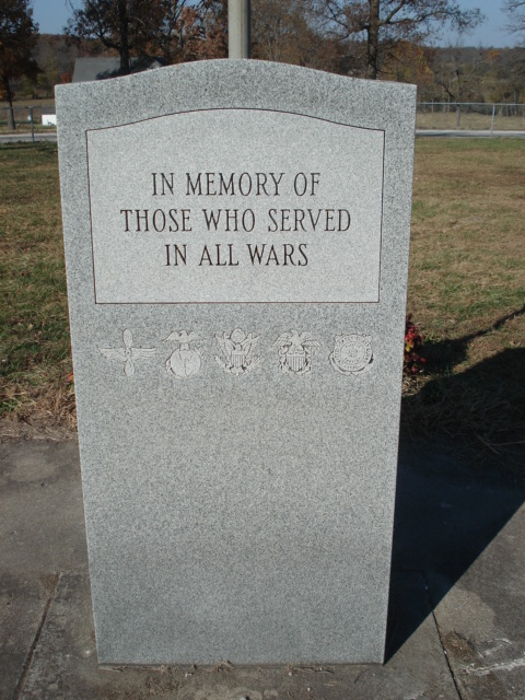
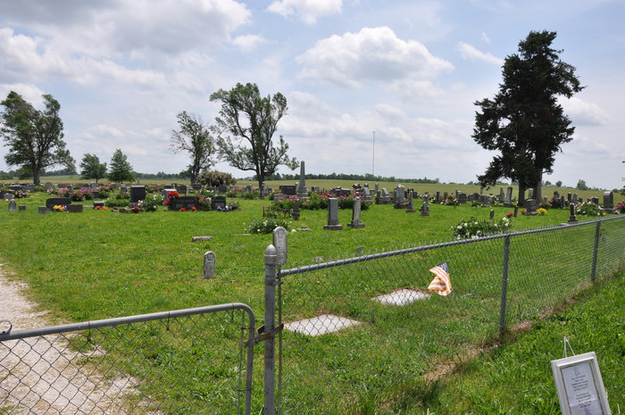
| Memorials | : | 33 |
| Location | : | Slagle, Polk County, USA |
| Coordinate | : | 37.5123596, -93.3707504 |
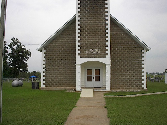
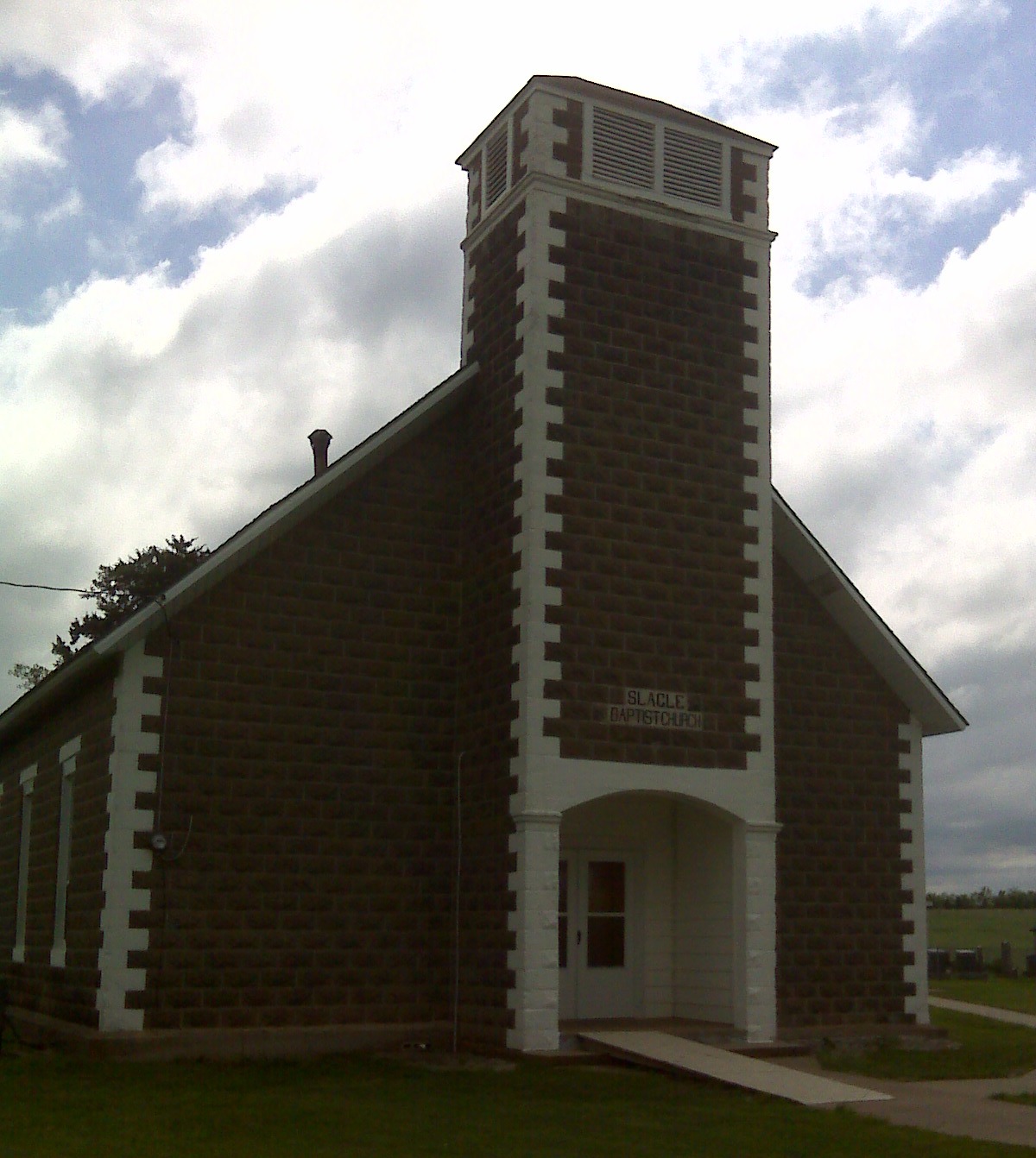
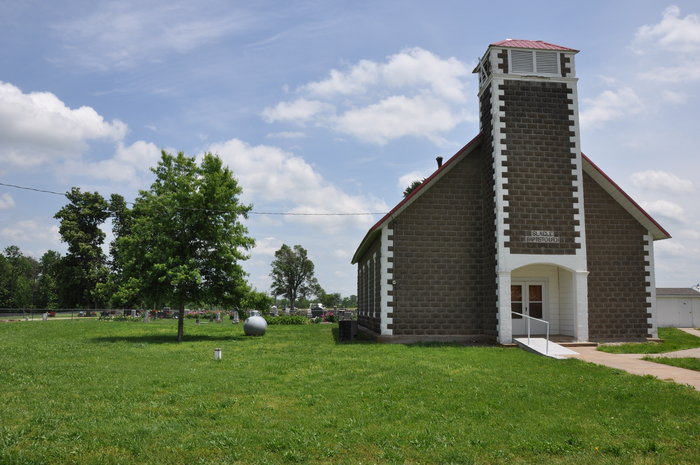
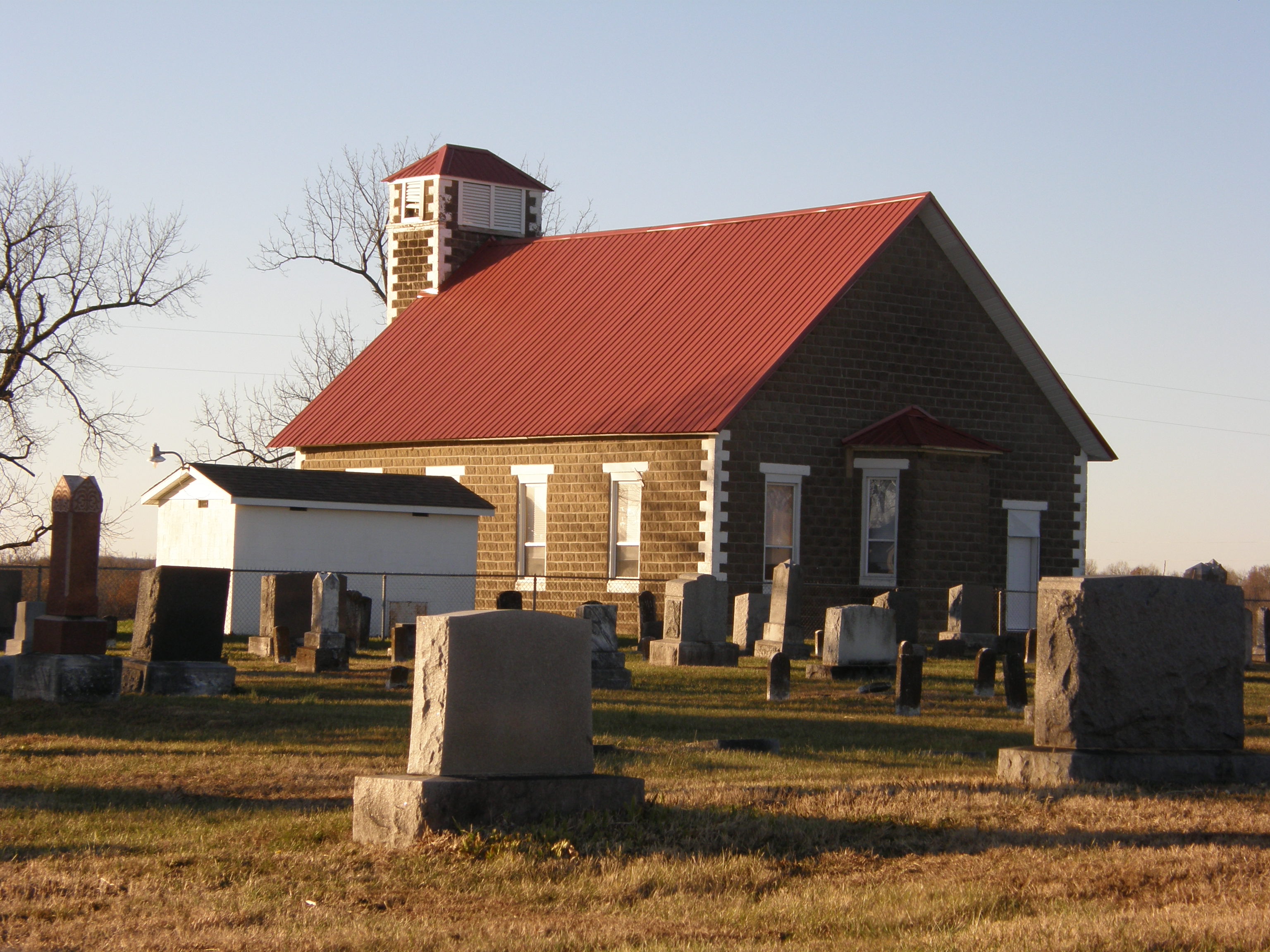
| Description | : | The Slagle Cemetery is in E. Looney Twp. (S8 T32 R22), next to the Slagle Creek Missionary Baptist Church. |
frequently asked questions (FAQ):
-
Where is Slagle Cemetery?
Slagle Cemetery is located at Slagle, Polk County ,Missouri ,USA.
-
Slagle Cemetery cemetery's updated grave count on graveviews.com?
33 memorials
-
Where are the coordinates of the Slagle Cemetery?
Latitude: 37.5123596
Longitude: -93.3707504
Nearby Cemetories:
1. Graveyard Hill
Pleasant Hope, Polk County, USA
Coordinate: 37.5149800, -93.3203700
2. Morrisville Cemetery
Morrisville, Polk County, USA
Coordinate: 37.4852486, -93.4263763
3. Appleby Cemetery
Brighton, Polk County, USA
Coordinate: 37.4719970, -93.4117700
4. Saint Wenceslaus Cemetery
Bolivar, Polk County, USA
Coordinate: 37.5540504, -93.4125137
5. Brighton Cemetery
Brighton, Polk County, USA
Coordinate: 37.4569092, -93.3429794
6. Hensley Cemetery
Polk County, USA
Coordinate: 37.5433006, -93.4356003
7. Enon Cemetery
Wishart, Polk County, USA
Coordinate: 37.5201111, -93.4528503
8. Mount Gilead Cemetery
Bolivar, Polk County, USA
Coordinate: 37.5805511, -93.3686218
9. Brock Cemetery #1
Brighton, Polk County, USA
Coordinate: 37.4345900, -93.3583900
10. Hickory Grove Cemetery
East Looney Township, Polk County, USA
Coordinate: 37.4284592, -93.3982925
11. Oakville Cemetery
Morrisville, Polk County, USA
Coordinate: 37.4752007, -93.4706879
12. Pleasant Hope Cemetery
Pleasant Hope, Polk County, USA
Coordinate: 37.4703102, -93.2731018
13. Hendrickson Cemetery
Bolivar, Polk County, USA
Coordinate: 37.5999900, -93.4151000
14. Crestview Memorial Gardens Cemetery
Bolivar, Polk County, USA
Coordinate: 37.6070290, -93.3534470
15. Campbell Grove Cemetery
Bolivar, Polk County, USA
Coordinate: 37.5741700, -93.4688900
16. Viles Cemetery
Polk County, USA
Coordinate: 37.5410995, -93.2482986
17. New Bethel Cemetery
Van, Polk County, USA
Coordinate: 37.5717087, -93.2654724
18. Greenwood Cemetery
Bolivar, Polk County, USA
Coordinate: 37.6072006, -93.4246979
19. Mitchell Campground Cemetery
Bolivar, Polk County, USA
Coordinate: 37.5361595, -93.5024033
20. Pleasant Hill Cemetery
Burns, Polk County, USA
Coordinate: 37.6111794, -93.3186722
21. Tiller Cemetery
Pleasant Hope, Polk County, USA
Coordinate: 37.4486008, -93.2613983
22. Fouts Cemetery
Pleasant Hope, Polk County, USA
Coordinate: 37.5213661, -93.2348709
23. Ankrom Cemetery
Polk County, USA
Coordinate: 37.5212780, -93.2347820
24. Saint Albans Episcopal Church Columbarium
Bolivar, Polk County, USA
Coordinate: 37.6098823, -93.4358491