
| Memorials | : | 0 |
| Location | : | Slate Creek, Idaho County, USA |
| Coordinate | : | 45.6354500, -116.2792400 |
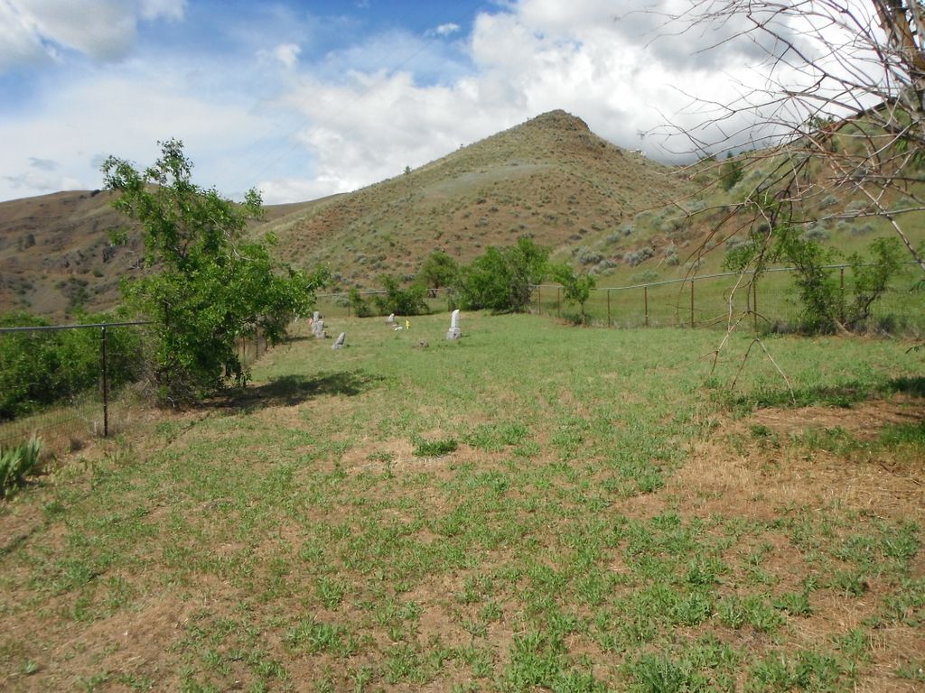
| Description | : | Slate Creek is on Highway 95 between Riggins and Whitebird. Cemetery is off Slate Creek Road on the hill across from the Fire station. |
frequently asked questions (FAQ):
-
Where is Slate Creek Cemetery?
Slate Creek Cemetery is located at Slate Creek Road Slate Creek, Idaho County ,Idaho , 83554USA.
-
Slate Creek Cemetery cemetery's updated grave count on graveviews.com?
0 memorials
-
Where are the coordinates of the Slate Creek Cemetery?
Latitude: 45.6354500
Longitude: -116.2792400
Nearby Cemetories:
1. Dr Wilson A Fosskett Cemetery
Riggins, Idaho County, USA
Coordinate: 45.6299260, -116.2873060
2. John Day Cemetery
Riggins, Idaho County, USA
Coordinate: 45.5849000, -116.2885000
3. French Cemetery
White Bird, Idaho County, USA
Coordinate: 45.7421000, -116.3233000
4. White Bird Cemetery
White Bird, Idaho County, USA
Coordinate: 45.7477989, -116.3116989
5. Kirkwood Bar Burial Site
Lucile, Idaho County, USA
Coordinate: 45.5679700, -116.4978500
6. Joseph Cemetery
Idaho County, USA
Coordinate: 45.7975006, -116.4633026
7. Riggins Cemetery
Riggins, Idaho County, USA
Coordinate: 45.4291992, -116.3139038
8. Canfield Cemetery
Idaho County, USA
Coordinate: 45.8369000, -116.3695000
9. Florence Cemetery
Idaho County, USA
Coordinate: 45.5107994, -116.0297012
10. E A Parisot Cemetery
Florence, Idaho County, USA
Coordinate: 45.4671189, -115.9815195
11. Wind River Pack Bridge Burial Site
Riggins, Idaho County, USA
Coordinate: 45.4553700, -115.9447500
12. Mount Idaho Cemetery
Mount Idaho, Idaho County, USA
Coordinate: 45.9040000, -116.0723000
13. Prairie View Cemetery
Grangeville, Idaho County, USA
Coordinate: 45.9308205, -116.1129837
14. Hillcrest Cemetery
Grangeville, Idaho County, USA
Coordinate: 45.9283860, -116.0824710
15. Fairview Cemetery
Grangeville, Idaho County, USA
Coordinate: 45.9759000, -116.0677000
16. Denver Cemetery
Denver, Idaho County, USA
Coordinate: 46.0088997, -116.2225037
17. William Foster Cemetery
Cottonwood, Idaho County, USA
Coordinate: 46.0264430, -116.3276560
18. Imnaha Cemetery
Imnaha, Wallowa County, USA
Coordinate: 45.5555992, -116.8360977
19. Saint Gertrudes Monastery Cemetery
Cottonwood, Idaho County, USA
Coordinate: 46.0335000, -116.3951000
20. Monastery of Saint Gertrude Cemetery
Cottonwood, Idaho County, USA
Coordinate: 46.0335170, -116.3951490
21. Keuterville Community Cemetery
Keuterville, Idaho County, USA
Coordinate: 46.0346000, -116.4312000
22. Harpster Cemetery
Harpster, Idaho County, USA
Coordinate: 45.9927000, -115.9632000
23. Cottonwood Community Cemetery
Cottonwood, Idaho County, USA
Coordinate: 46.0630989, -116.3463974
24. Saint Mary's Catholic Cemetery
Cottonwood, Idaho County, USA
Coordinate: 46.0637000, -116.3478000