
| Memorials | : | 1 |
| Location | : | Raytown, Jackson County, USA |
| Coordinate | : | 38.9717340, -94.4397250 |
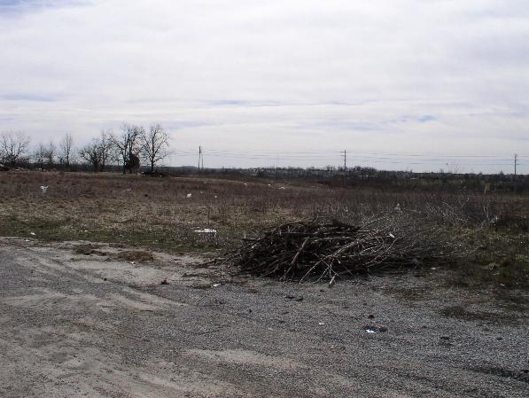
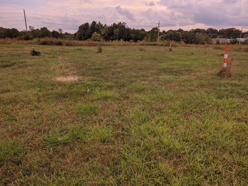
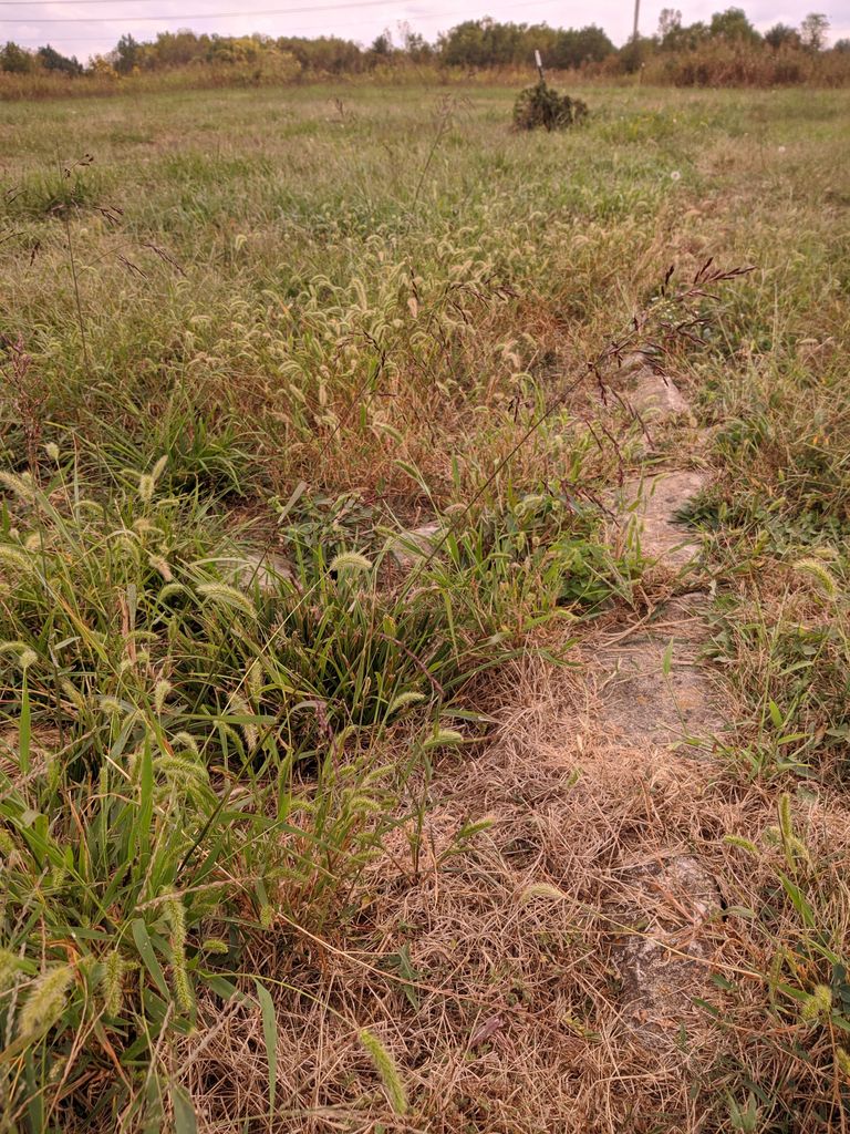
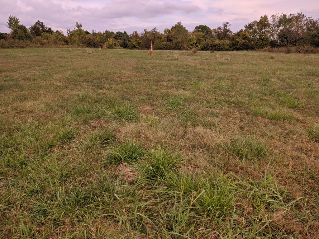
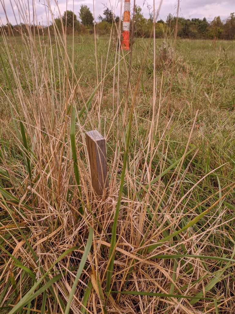
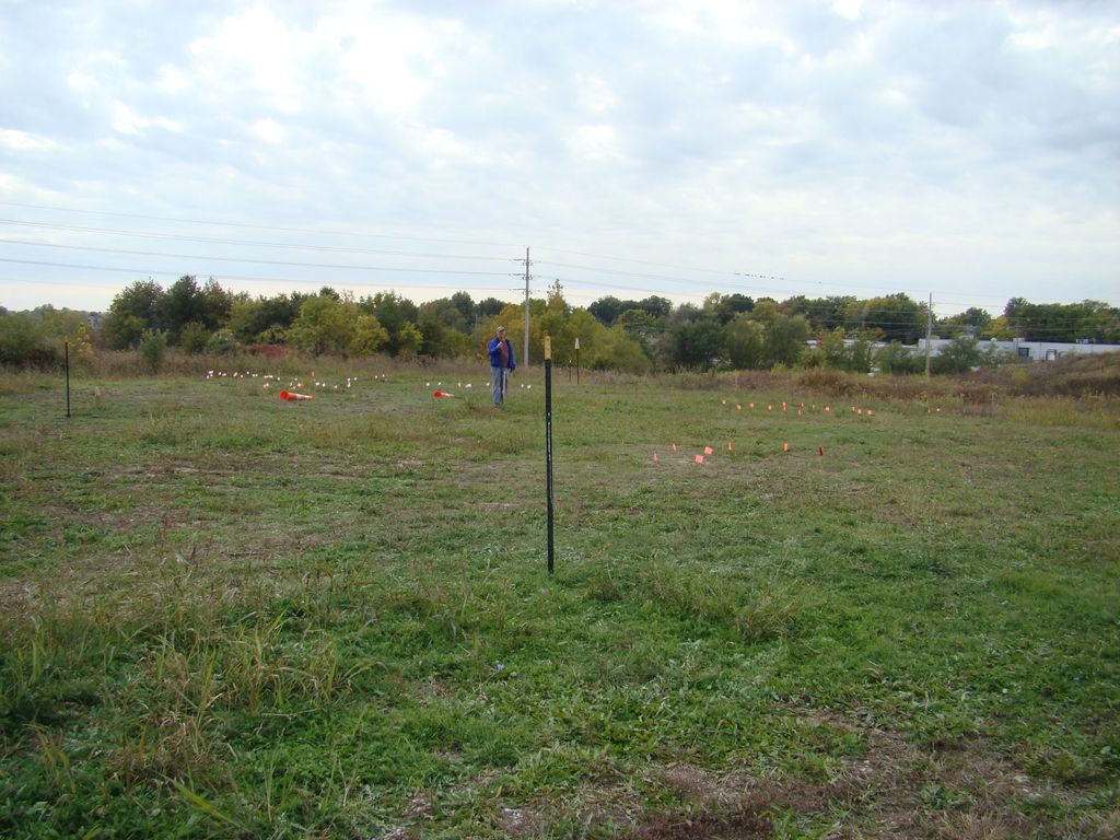
| Description | : | The Smith-Davis Cemetery, with graves dating to 1842, is located on a high point above the Little Blue River valley, just east of the Raytown-Kansas City border. It lies between the eastbound and westbound lanes of Missouri Highway 350, just east of Westridge Road. (The position shown is that indicated on current Jackson County property records. However note that some late 1800s and early 1900s plat maps show a cemetery about 1500 feet NNE of this location and no cemetery at this location. The Jackson County property records indicate "approximate" location, so it is somewhat uncertain if there... Read More |
frequently asked questions (FAQ):
-
Where is Smith-Davis Cemetery?
Smith-Davis Cemetery is located at 12017 E. 350 Hwy. Raytown, Jackson County ,Missouri ,USA.
-
Smith-Davis Cemetery cemetery's updated grave count on graveviews.com?
0 memorials
-
Where are the coordinates of the Smith-Davis Cemetery?
Latitude: 38.9717340
Longitude: -94.4397250
Nearby Cemetories:
1. Flanery - Frost Cemetery
Kansas City, Jackson County, USA
Coordinate: 38.9519005, -94.4428024
2. Howell Cemetery
Raytown, Jackson County, USA
Coordinate: 38.9752600, -94.4690680
3. Ganzer Cemetery
Kansas City, Jackson County, USA
Coordinate: 38.9425011, -94.4514008
4. Mount Olivet Cemetery and Mausoleum
Kansas City, Jackson County, USA
Coordinate: 38.9838982, -94.4785995
5. XII Gates Memorial Gardens
Kansas City, Jackson County, USA
Coordinate: 38.9514999, -94.4732971
6. Moore Family Cemetery
Kansas City, Jackson County, USA
Coordinate: 38.9867900, -94.4015700
7. Jackson County Home Cemetery
Little Blue, Jackson County, USA
Coordinate: 38.9761990, -94.3946500
8. Unity Village Rose Garden
Unity Village, Jackson County, USA
Coordinate: 38.9473400, -94.4062300
9. Talley Cemetery
Jackson County, USA
Coordinate: 38.9685100, -94.3911600
10. Sechrest Family Cemetery
Kansas City, Jackson County, USA
Coordinate: 38.9822300, -94.4880600
11. West Fork Baptist Cemetery
Bristol, Jackson County, USA
Coordinate: 39.0110100, -94.4443700
12. West Family Cemetery
Raytown, Jackson County, USA
Coordinate: 39.0020900, -94.4729600
13. Noland Cemetery
Kansas City, Jackson County, USA
Coordinate: 38.9458008, -94.4805984
14. Floral Hills Cemetery
Kansas City, Jackson County, USA
Coordinate: 38.9972000, -94.4878006
15. Mid-America Muslim Cemetery
Kansas City, Jackson County, USA
Coordinate: 38.9443588, -94.4903336
16. Hylton Cemetery
Kansas City, Jackson County, USA
Coordinate: 39.0013100, -94.3887600
17. Hardup Cemetery
Lee's Summit, Jackson County, USA
Coordinate: 38.9462300, -94.3813700
18. McPherson Cemetery
Lee's Summit, Jackson County, USA
Coordinate: 38.9982700, -94.3811000
19. Palestine Cemetery
Kansas City, Jackson County, USA
Coordinate: 38.9566994, -94.5068970
20. Mount Carmel Cemetery
Raytown, Jackson County, USA
Coordinate: 39.0228004, -94.4705963
21. House & McMonigle Cemetery
Independence, Jackson County, USA
Coordinate: 39.0250300, -94.4152710
22. Brooking Cemetery
Raytown, Jackson County, USA
Coordinate: 39.0269012, -94.4597015
23. Memorial Park Cemetery
Kansas City, Jackson County, USA
Coordinate: 38.9805984, -94.5143967
24. Howard Cemetery
Lee's Summit, Jackson County, USA
Coordinate: 38.9822600, -94.3648100