
| Memorials | : | 38 |
| Location | : | Raytown, Jackson County, USA |
| Phone | : | (816) 353-4278 |
| Coordinate | : | 39.0269012, -94.4597015 |
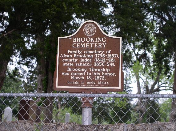
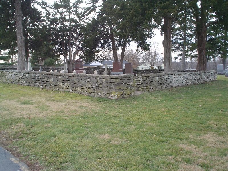
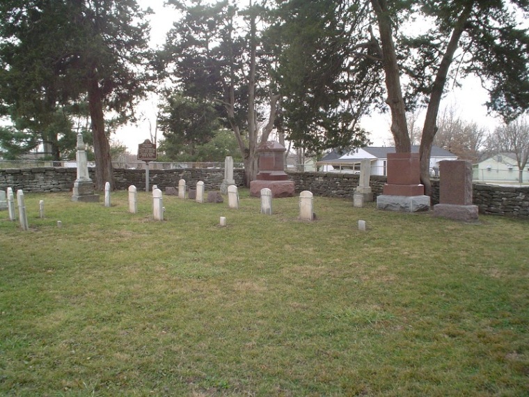
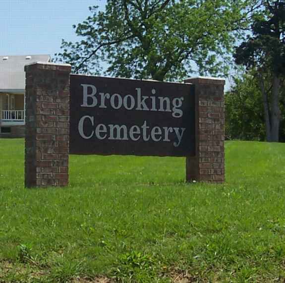
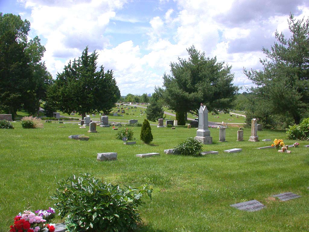
| Description | : | Brooking Cemetery is one of the oldest cemeteries in Kansas City. The cemetery is located on the original farmstead of Mr. Alvan Brooking. Our earliest burial on records dates back to 1840. The cemetery is still owned by the Brooking Family, the Pence Family has maintained and operated the cemetery for the Brooking Cemetery Association for the past 76 years. |
frequently asked questions (FAQ):
-
Where is Brooking Cemetery?
Brooking Cemetery is located at 10004 E 53rd Street Raytown, Jackson County ,Missouri , 64133-2268USA.
-
Brooking Cemetery cemetery's updated grave count on graveviews.com?
35 memorials
-
Where are the coordinates of the Brooking Cemetery?
Latitude: 39.0269012
Longitude: -94.4597015
Nearby Cemetories:
1. Mount Carmel Cemetery
Raytown, Jackson County, USA
Coordinate: 39.0228004, -94.4705963
2. West Fork Baptist Cemetery
Bristol, Jackson County, USA
Coordinate: 39.0110100, -94.4443700
3. Collings Cemetery
Kansas City, Jackson County, USA
Coordinate: 39.0206200, -94.4908000
4. Campground Cemetery
Raytown, Jackson County, USA
Coordinate: 39.0380000, -94.4295700
5. West Family Cemetery
Raytown, Jackson County, USA
Coordinate: 39.0020900, -94.4729600
6. Rice Cemetery
Kansas City, Jackson County, USA
Coordinate: 39.0193400, -94.4955700
7. Cole Cemetery
Kansas City, Jackson County, USA
Coordinate: 39.0331000, -94.4992400
8. Leeds Cemetery
Kansas City, Jackson County, USA
Coordinate: 39.0433100, -94.4957500
9. House & McMonigle Cemetery
Independence, Jackson County, USA
Coordinate: 39.0250300, -94.4152710
10. Floral Hills Cemetery
Kansas City, Jackson County, USA
Coordinate: 38.9972000, -94.4878006
11. Pitcher Cemetery
Independence, Jackson County, USA
Coordinate: 39.0635986, -94.4702988
12. Mount Olivet Cemetery and Mausoleum
Kansas City, Jackson County, USA
Coordinate: 38.9838982, -94.4785995
13. Noland Cemetery
Kansas City, Jackson County, USA
Coordinate: 39.0265700, -94.4005700
14. Sechrest Family Cemetery
Kansas City, Jackson County, USA
Coordinate: 38.9822300, -94.4880600
15. Blue Ridge Lawn Memorial Gardens
Kansas City, Jackson County, USA
Coordinate: 39.0760002, -94.4717026
16. Thomas H. Swope Memorial
Kansas City, Jackson County, USA
Coordinate: 39.0033000, -94.5169100
17. Howell Cemetery
Raytown, Jackson County, USA
Coordinate: 38.9752600, -94.4690680
18. Hill Park Cemetery
Independence, Jackson County, USA
Coordinate: 39.0835991, -94.4539032
19. Smith-Davis Cemetery
Raytown, Jackson County, USA
Coordinate: 38.9717340, -94.4397250
20. Saint Michael's Memorial Garden
Independence, Jackson County, USA
Coordinate: 39.0468200, -94.3877300
21. Highland Cemetery
Kansas City, Jackson County, USA
Coordinate: 39.0853004, -94.4760971
22. Moore Family Cemetery
Kansas City, Jackson County, USA
Coordinate: 38.9867900, -94.4015700
23. Hylton Cemetery
Kansas City, Jackson County, USA
Coordinate: 39.0013100, -94.3887600
24. Kehilath Israel Blue Ridge Cemetery
Independence, Jackson County, USA
Coordinate: 39.0875015, -94.4766998