
| Memorials | : | 0 |
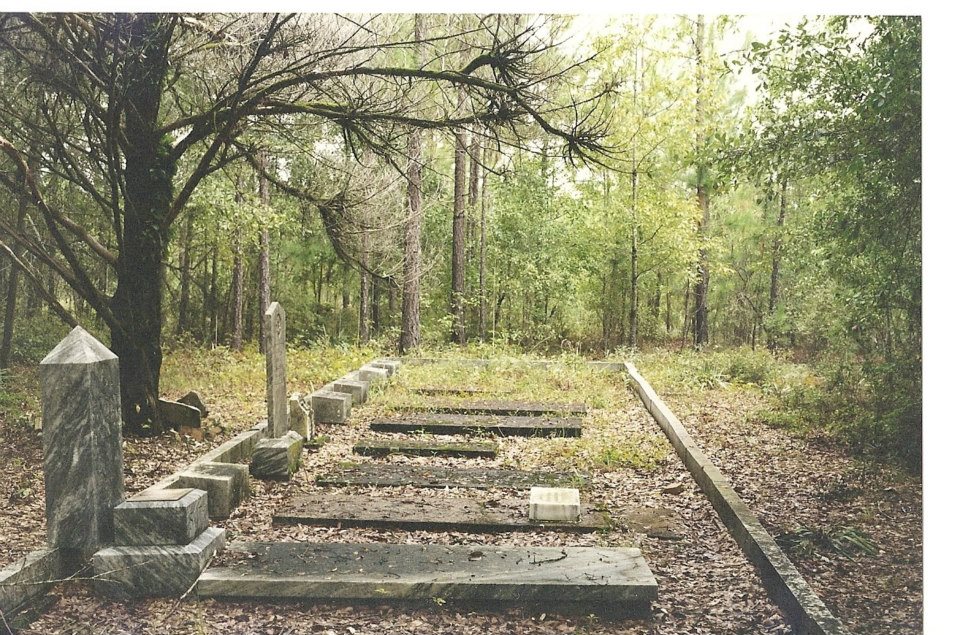
| Location | : | Minter, Laurens County, USA |
| Coordinate | : | 32.4951700, -82.7491800 |
| Description | : | South on US 29 from East Dublin, GA. Go approximately 12 miles to Minter, GA. At Minter, turn left onto Pleasant Springs Church road (the only road crossing US 29 in Minter) and travel East approx. 3/4 mile to Chester Wilkes Road (CR 73). Turn left onto Chester Wilkes Rd and travel North 3 tenths of a mile. The Smith-Hart Cemetery will be on the East (right) side of Chester Wilkes Rd approx. 150-200 feet off the road. |
frequently asked questions (FAQ):
-
Where is Smith - Hart Cemetery?
Smith - Hart Cemetery is located at Chester Wilkes Road Minter, Laurens County ,Georgia ,USA.
-
Smith - Hart Cemetery cemetery's updated grave count on graveviews.com?
0 memorials
-
Where are the coordinates of the Smith - Hart Cemetery?
Latitude: 32.4951700
Longitude: -82.7491800
Nearby Cemetories:
1. Graham Family Cemetery
Minter, Laurens County, USA
Coordinate: 32.4870200, -82.7604900
2. Union Baptist Cemetery
East Dublin, Laurens County, USA
Coordinate: 32.4942020, -82.7693340
3. Silver Leaf Primitive Baptist Church Cemetery
East Dublin, Laurens County, USA
Coordinate: 32.5251140, -82.7558360
4. Minter Cemetery
Laurens County, USA
Coordinate: 32.4745000, -82.7777800
5. Pleasant Springs Baptist Church Cemetery
Laurens County, USA
Coordinate: 32.5224880, -82.7291860
6. Church of Jesus Christ Cemetery
East Dublin, Laurens County, USA
Coordinate: 32.5287330, -82.7457010
7. Old Warnock Cemetery
Minter, Laurens County, USA
Coordinate: 32.5147410, -82.7957340
8. King Cemetery
East Dublin, Laurens County, USA
Coordinate: 32.4529230, -82.7675400
9. Beasley Cemetery
Laurens County, USA
Coordinate: 32.5407982, -82.7403030
10. Baker-Moore Cemetery
Laurens County, USA
Coordinate: 32.4431000, -82.7906036
11. Carter's Chapel United Methodist Church Cemetery
East Dublin, Laurens County, USA
Coordinate: 32.5528830, -82.7103110
12. Greater New Evergreen Baptist Church Cemetery
East Dublin, Laurens County, USA
Coordinate: 32.5648100, -82.7585100
13. Fuller-Keen Cemetery
Nameless, Laurens County, USA
Coordinate: 32.5058810, -82.8360190
14. Gethsemane Cemetery
Laurens County, USA
Coordinate: 32.5518990, -82.8153000
15. Wilkes Cemetery
East Dublin, Laurens County, USA
Coordinate: 32.4155270, -82.7481020
16. Graham Memorial Church Cemetery
East Dublin, Laurens County, USA
Coordinate: 32.5719740, -82.7781440
17. Bethlehem Baptist Church Cemetery
Condor, Laurens County, USA
Coordinate: 32.5353012, -82.8368988
18. Williams Chapel Baptist Church Cemetery
East Dublin, Laurens County, USA
Coordinate: 32.5380800, -82.8496700
19. Church Of Jesus Christ Cemetery
Scott, Johnson County, USA
Coordinate: 32.5575910, -82.6628570
20. Brewton Cemetery
Laurens County, USA
Coordinate: 32.5896988, -82.7956009
21. Royal Springs Church Cemetery
East Dublin, Laurens County, USA
Coordinate: 32.5415500, -82.8595300
22. Church Of Jesus Cemetery
East Dublin, Laurens County, USA
Coordinate: 32.5861310, -82.8162330
23. Poplar Springs Methodist Church Cemetery
Adrian, Johnson County, USA
Coordinate: 32.5384160, -82.6286060
24. Linder Cemetery
East Dublin, Laurens County, USA
Coordinate: 32.5788300, -82.8373500