
| Memorials | : | 0 |
| Location | : | East Dublin, Laurens County, USA |
| Coordinate | : | 32.5528830, -82.7103110 |
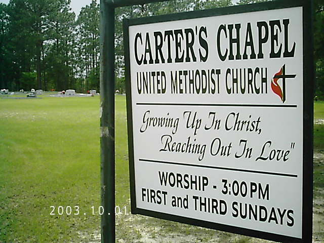
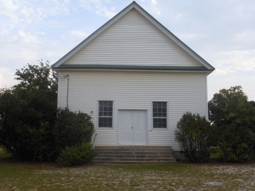
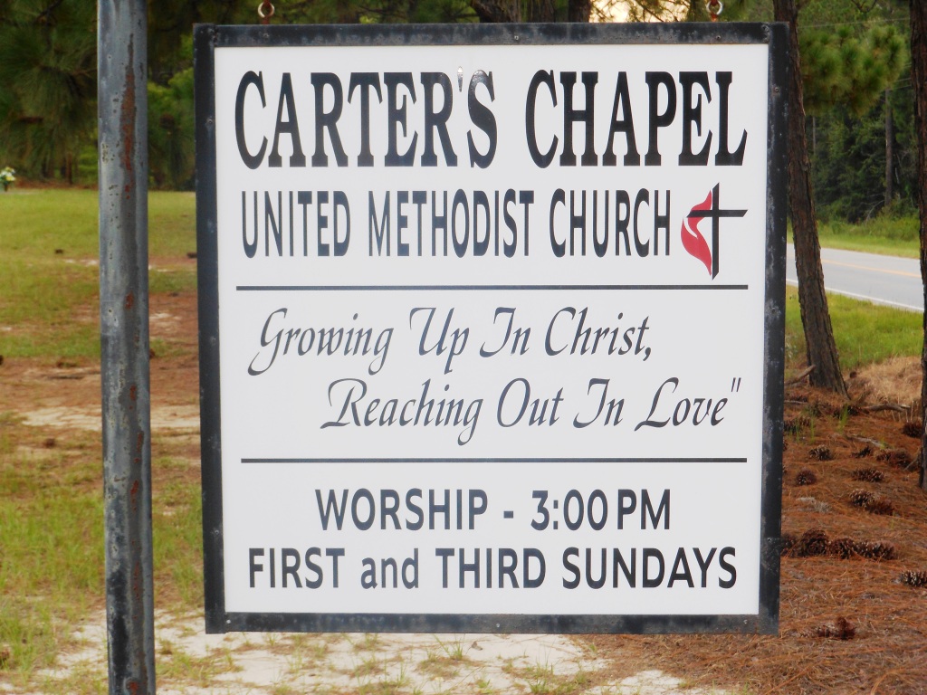
| Description | : | Located near Adrian, Johnson Co, Georgia. Halfway between Adrian and East Dublin, Ga, 2 miles over county line into Laurens county. |
frequently asked questions (FAQ):
-
Where is Carter's Chapel United Methodist Church Cemetery?
Carter's Chapel United Methodist Church Cemetery is located at 2135 Hwy 80 East Dublin, Laurens County ,Georgia , 30127USA.
-
Carter's Chapel United Methodist Church Cemetery cemetery's updated grave count on graveviews.com?
0 memorials
-
Where are the coordinates of the Carter's Chapel United Methodist Church Cemetery?
Latitude: 32.5528830
Longitude: -82.7103110
Nearby Cemetories:
1. Beasley Cemetery
Laurens County, USA
Coordinate: 32.5407982, -82.7403030
2. Pleasant Springs Baptist Church Cemetery
Laurens County, USA
Coordinate: 32.5224880, -82.7291860
3. Church of Jesus Christ Cemetery
East Dublin, Laurens County, USA
Coordinate: 32.5287330, -82.7457010
4. Church Of Jesus Christ Cemetery
Scott, Johnson County, USA
Coordinate: 32.5575910, -82.6628570
5. Greater New Evergreen Baptist Church Cemetery
East Dublin, Laurens County, USA
Coordinate: 32.5648100, -82.7585100
6. Silver Leaf Primitive Baptist Church Cemetery
East Dublin, Laurens County, USA
Coordinate: 32.5251140, -82.7558360
7. Bay Springs Baptist Church Cemetery
Scott, Johnson County, USA
Coordinate: 32.5930610, -82.6671900
8. Thomas Chapel Methodist Church Cemetery
Dublin, Laurens County, USA
Coordinate: 32.6071360, -82.7139700
9. Graham Memorial Church Cemetery
East Dublin, Laurens County, USA
Coordinate: 32.5719740, -82.7781440
10. Smith - Hart Cemetery
Minter, Laurens County, USA
Coordinate: 32.4951700, -82.7491800
11. Mount Olive Church of the Nazarene Cemetery
Wrightsville, Johnson County, USA
Coordinate: 32.6010600, -82.6518520
12. Red Hill Cemetery
Johnson County, USA
Coordinate: 32.6049995, -82.6557999
13. Poplar Springs Methodist Church Cemetery
Adrian, Johnson County, USA
Coordinate: 32.5384160, -82.6286060
14. Union Baptist Cemetery
East Dublin, Laurens County, USA
Coordinate: 32.4942020, -82.7693340
15. Graham Family Cemetery
Minter, Laurens County, USA
Coordinate: 32.4870200, -82.7604900
16. Smith Cemetery
Scott, Johnson County, USA
Coordinate: 32.6044006, -82.6386032
17. Brewton Cemetery
Laurens County, USA
Coordinate: 32.5896988, -82.7956009
18. Old Warnock Cemetery
Minter, Laurens County, USA
Coordinate: 32.5147410, -82.7957340
19. Drake Cemetery
Adrian, Johnson County, USA
Coordinate: 32.5477982, -82.6121979
20. Mount Green Baptist Church Cemetery
East Dublin, Laurens County, USA
Coordinate: 32.6141800, -82.7810400
21. Brazeal Church Cemetery
Laurens County, USA
Coordinate: 32.6140340, -82.7813390
22. Foskey Cemetery
Adrian, Johnson County, USA
Coordinate: 32.5788994, -82.6132965
23. Carter Cemetery
Spann, Johnson County, USA
Coordinate: 32.6385710, -82.7262030
24. Gethsemane Cemetery
Laurens County, USA
Coordinate: 32.5518990, -82.8153000