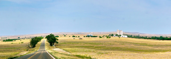
| Memorials | : | 0 |
| Location | : | Ashland, Clark County, USA |
| Coordinate | : | 37.0017700, -99.6458200 |
frequently asked questions (FAQ):
-
Where is Snake Creek Ranch Cemetery?
Snake Creek Ranch Cemetery is located at Ashland, Clark County ,Kansas ,USA.
-
Snake Creek Ranch Cemetery cemetery's updated grave count on graveviews.com?
0 memorials
-
Where are the coordinates of the Snake Creek Ranch Cemetery?
Latitude: 37.0017700
Longitude: -99.6458200
Nearby Cemetories:
1. Willow Creek Cemetery
Buffalo, Harper County, USA
Coordinate: 36.9688988, -99.5749969
2. Willard Cemetery
Willard, Harper County, USA
Coordinate: 36.9585991, -99.7197037
3. Otter Creek Cemetery
Buffalo, Harper County, USA
Coordinate: 36.8781100, -99.6581200
4. Pleasant Valley Cemetery
Buffalo, Harper County, USA
Coordinate: 36.9136009, -99.8178024
5. Zion Lutheran Cemetery
Buffalo, Harper County, USA
Coordinate: 36.8999500, -99.4850900
6. Hopewell Cemetery
Harper County, USA
Coordinate: 36.8708000, -99.5164032
7. Protection Mennonite Cemetery
Protection, Comanche County, USA
Coordinate: 37.1188640, -99.4790610
8. High Point Cemetery
Buffalo, Harper County, USA
Coordinate: 36.8278008, -99.6014023
9. Goldenrod Cemetery
Buffalo, Harper County, USA
Coordinate: 36.8555493, -99.5002693
10. Doby Springs Cemetery
Harper County, USA
Coordinate: 36.8381004, -99.7817001
11. Highland Cemetery
Ashland, Clark County, USA
Coordinate: 37.1983700, -99.7474900
12. Saint Josephs Cemetery
Ashland, Clark County, USA
Coordinate: 37.1991997, -99.7485962
13. Pleasant Ridge Cemetery
Rosston, Harper County, USA
Coordinate: 36.8711014, -99.8910980
14. Protection Cemetery
Protection, Comanche County, USA
Coordinate: 37.2125015, -99.4946976
15. Evergreen Cemetery
Buffalo, Harper County, USA
Coordinate: 36.7544400, -99.6918000
16. Rose Hill Cemetery
Laverne, Harper County, USA
Coordinate: 36.7905998, -99.8169022
17. Avilla Cemetery
Protection, Comanche County, USA
Coordinate: 37.1272011, -99.3507996
18. Englewood Cemetery
Englewood, Clark County, USA
Coordinate: 37.0703011, -99.9781036
19. Coy Cemetery
Freedom, Woods County, USA
Coordinate: 36.9721700, -99.3029700
20. Spring Valley Cemetery
Harper County, USA
Coordinate: 36.8292007, -99.3666992
21. Kibby Cemetery
Harper County, USA
Coordinate: 36.7242012, -99.5543976
22. Wolf Farm Cemetery
Rosston, Harper County, USA
Coordinate: 36.8407516, -99.9551544
23. Lookout Cemetery
Freedom, Woods County, USA
Coordinate: 36.9002991, -99.2722015
24. Lexington Cemetery
Lexington, Clark County, USA
Coordinate: 37.3231010, -99.5841980

