| Memorials | : | 0 |
| Location | : | Rosendale, Ulster County, USA |
| Coordinate | : | 41.8426500, -74.0972900 |
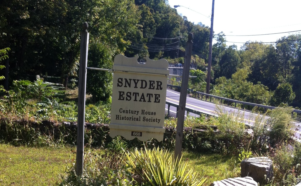
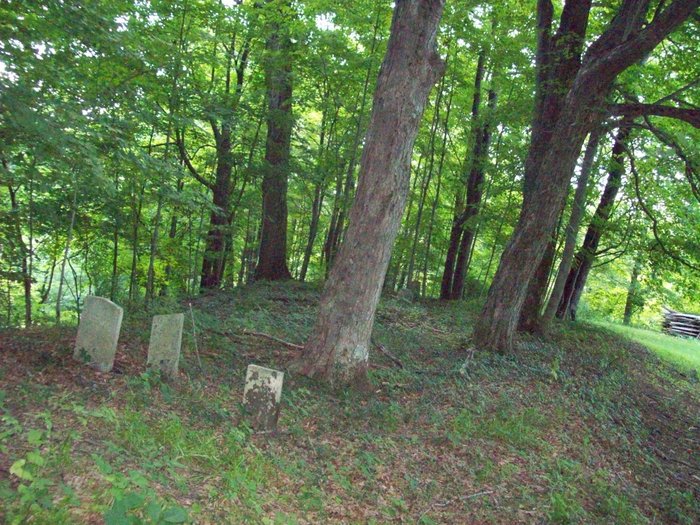
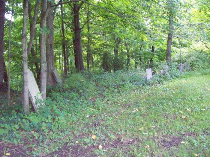
| Description | : | The Century House - at location of Widow Jane Cement Mine. Going up the hill on the trail past buildings- at the top of the hill on the left. |
frequently asked questions (FAQ):
-
Where is Snyder Estate Cemetery?
Snyder Estate Cemetery is located at 668 Route 213 (Lawrenceville Road) Rosendale, Ulster County ,New York , 12472-0150USA.
-
Snyder Estate Cemetery cemetery's updated grave count on graveviews.com?
0 memorials
-
Where are the coordinates of the Snyder Estate Cemetery?
Latitude: 41.8426500
Longitude: -74.0972900
Nearby Cemetories:
1. Saint Peters Cemetery
Rosendale, Ulster County, USA
Coordinate: 41.8389015, -74.0832977
2. Schoonmaker Ground
High Falls, Ulster County, USA
Coordinate: 41.8319820, -74.1125740
3. Coxing Cemetery
High Falls, Ulster County, USA
Coordinate: 41.8319016, -74.1128006
4. Colonel Jacob Rutsen Ground
Rosendale, Ulster County, USA
Coordinate: 41.8477100, -74.0766500
5. Rosendale Plains Cemetery
Tillson, Ulster County, USA
Coordinate: 41.8333015, -74.0789032
6. Tilson Ground-Rosendale Plains
Tillson, Ulster County, USA
Coordinate: 41.8318290, -74.0777810
7. Friend's Cemetery
Tillson, Ulster County, USA
Coordinate: 41.8301200, -74.0654300
8. Delamater Burial Ground
Stone Ridge, Ulster County, USA
Coordinate: 41.8452301, -74.1351395
9. Hardenburgh Ground
Bloomington, Ulster County, USA
Coordinate: 41.8640700, -74.0596500
10. Deyo Burying Ground
Springtown, Ulster County, USA
Coordinate: 41.8177900, -74.0625000
11. LeFevre Family Ground
Tillson, Ulster County, USA
Coordinate: 41.8531580, -74.0511470
12. Freer Burial Ground
Tillson, Ulster County, USA
Coordinate: 41.8182500, -74.0609900
13. Freer Ground
Rifton, Ulster County, USA
Coordinate: 41.8182500, -74.0609900
14. Coutant Ground
Tillson, Ulster County, USA
Coordinate: 41.8305570, -74.0494220
15. Marbletown Cemetery
Marbletown, Ulster County, USA
Coordinate: 41.8784218, -74.1158981
16. Christ The King Columbarium
Stone Ridge, Ulster County, USA
Coordinate: 41.8388420, -74.1502300
17. Woodcrest Bruderhof Cemetery
Rifton, Ulster County, USA
Coordinate: 41.8188395, -74.0522381
18. Winchell Ground
Stone Ridge, Ulster County, USA
Coordinate: 41.8537788, -74.1527023
19. Fairview Cemetery
Stone Ridge, Ulster County, USA
Coordinate: 41.8474998, -74.1552963
20. Rifton Community Ground
Rifton, Ulster County, USA
Coordinate: 41.8418000, -74.0384000
21. High Falls Cemetery
High Falls, Ulster County, USA
Coordinate: 41.8167000, -74.1468964
22. Wagendahl Cemetery
Creeklocks, Ulster County, USA
Coordinate: 41.8705597, -74.0444412
23. Lefever Cemetery
Bloomington, Ulster County, USA
Coordinate: 41.8778000, -74.0524979
24. Bloomington Dutch Reformed Church Ground
Bloomington, Ulster County, USA
Coordinate: 41.8784600, -74.0445700


