| Memorials | : | 0 |
| Location | : | Owingsville, Bath County, USA |
| Coordinate | : | 38.1520740, -83.6590430 |
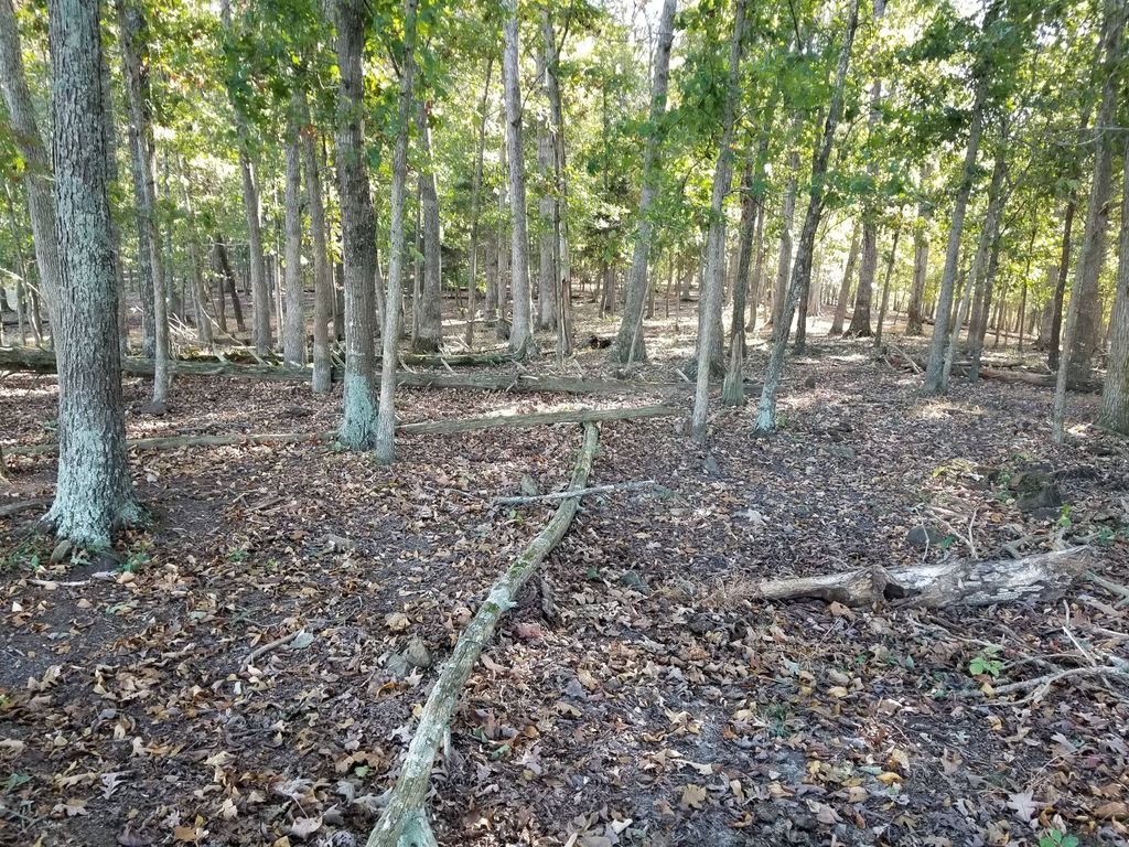
| Description | : | This burial ground is located on the farm once owned by James and Mary McDonald Sorrell, Jr. from about 1826 to 1847. The farm was sold to son Joshua and Dama McClain Sorrell who worked the farm until the Civil War era. A portion of this farm was sold in 1867 to Joshua's daughter Phebe Sorrell and her husband Harrison Sorrell. It is believed that Sorrell matriarch Mary McDonald Sorrell was buried here after 1847. A corner of the farm was bounded by the intersection of the water courses Indian Creek and Little Gap Branch, in the area between Old Sand Road... Read More |
frequently asked questions (FAQ):
-
Where is Sorrell Homestead Cemetery?
Sorrell Homestead Cemetery is located at Owingsville, Bath County ,Kentucky ,USA.
-
Sorrell Homestead Cemetery cemetery's updated grave count on graveviews.com?
0 memorials
-
Where are the coordinates of the Sorrell Homestead Cemetery?
Latitude: 38.1520740
Longitude: -83.6590430
Nearby Cemetories:
1. Rogers Cemetery
Owingsville, Bath County, USA
Coordinate: 38.1583990, -83.6657290
2. Knox Hill Cemetery
Peasticks, Bath County, USA
Coordinate: 38.1581001, -83.6781006
3. Hedrick's Cemetery
Salt Lick, Bath County, USA
Coordinate: 38.1613803, -83.6408343
4. Hedricks Cemetery
Bath County, USA
Coordinate: 38.1609990, -83.6400910
5. Polksville Cemetery
Bath County, USA
Coordinate: 38.1343040, -83.6498760
6. Carpenter Cemetery #1
Polksville, Bath County, USA
Coordinate: 38.1334200, -83.6496700
7. Flood Cemetery
Polksville, Bath County, USA
Coordinate: 38.1303710, -83.6545370
8. Carpenter Cemetery #4
Bath County, USA
Coordinate: 38.1297500, -83.6778000
9. Carpenter Cemetery #3
Owingsville, Bath County, USA
Coordinate: 38.1297500, -83.6778000
10. Reeves Cemetery
Colfax, Fleming County, USA
Coordinate: 38.1785480, -83.6456730
11. Barnes and Lewis Cemetery
Bath County, USA
Coordinate: 38.1276000, -83.6316200
12. McCarty Cemetery
Owingsville, Bath County, USA
Coordinate: 38.1441994, -83.7033005
13. Old Virginia Cemetery
Owingsville, Bath County, USA
Coordinate: 38.1721992, -83.7058029
14. Old Spencer Cemetery
Owingsville, Bath County, USA
Coordinate: 38.1382027, -83.7219543
15. Bailey Cemetery #2
Slate Valley, Bath County, USA
Coordinate: 38.1668550, -83.7230600
16. Dickerson Cemetery
Salt Lick, Bath County, USA
Coordinate: 38.1138992, -83.6091995
17. Jackson Cemetery
Bath County, USA
Coordinate: 38.1239014, -83.7205963
18. Lower Salt Lick Cemetery
Salt Lick, Bath County, USA
Coordinate: 38.1007900, -83.6242000
19. Goodpaster Cemetery #2
Bath County, USA
Coordinate: 38.1791992, -83.7300034
20. Oldfield Cemetery
Owingsville, Bath County, USA
Coordinate: 38.1067009, -83.7155991
21. Mann Cemetery
Bath County, USA
Coordinate: 38.1067000, -83.7156000
22. Steele Cemetery
Bath County, USA
Coordinate: 38.1424151, -83.7400285
23. Shrout Cemetery
Owingsville, Bath County, USA
Coordinate: 38.1180570, -83.7289850
24. Shrout Cemetery
Owingsville, Bath County, USA
Coordinate: 38.1178860, -83.7290780

