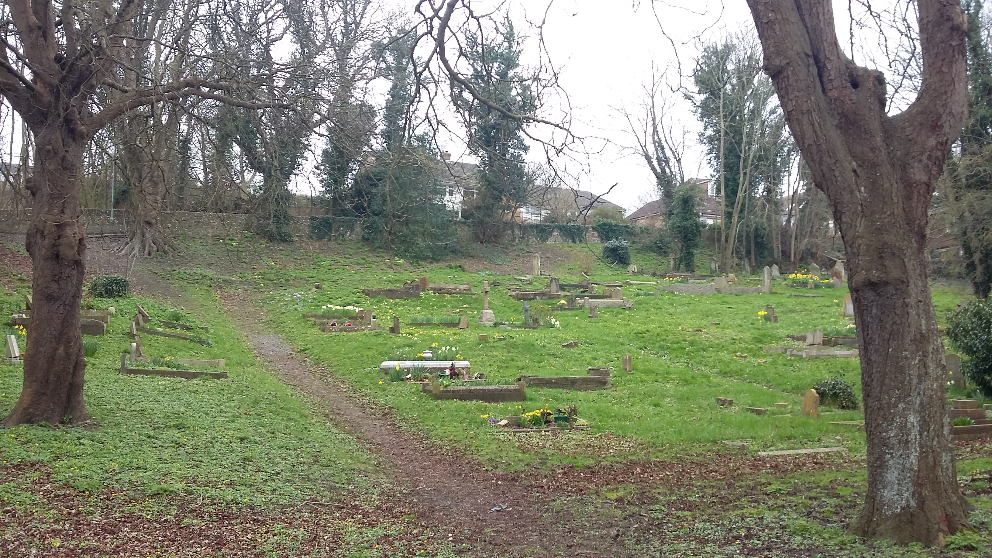
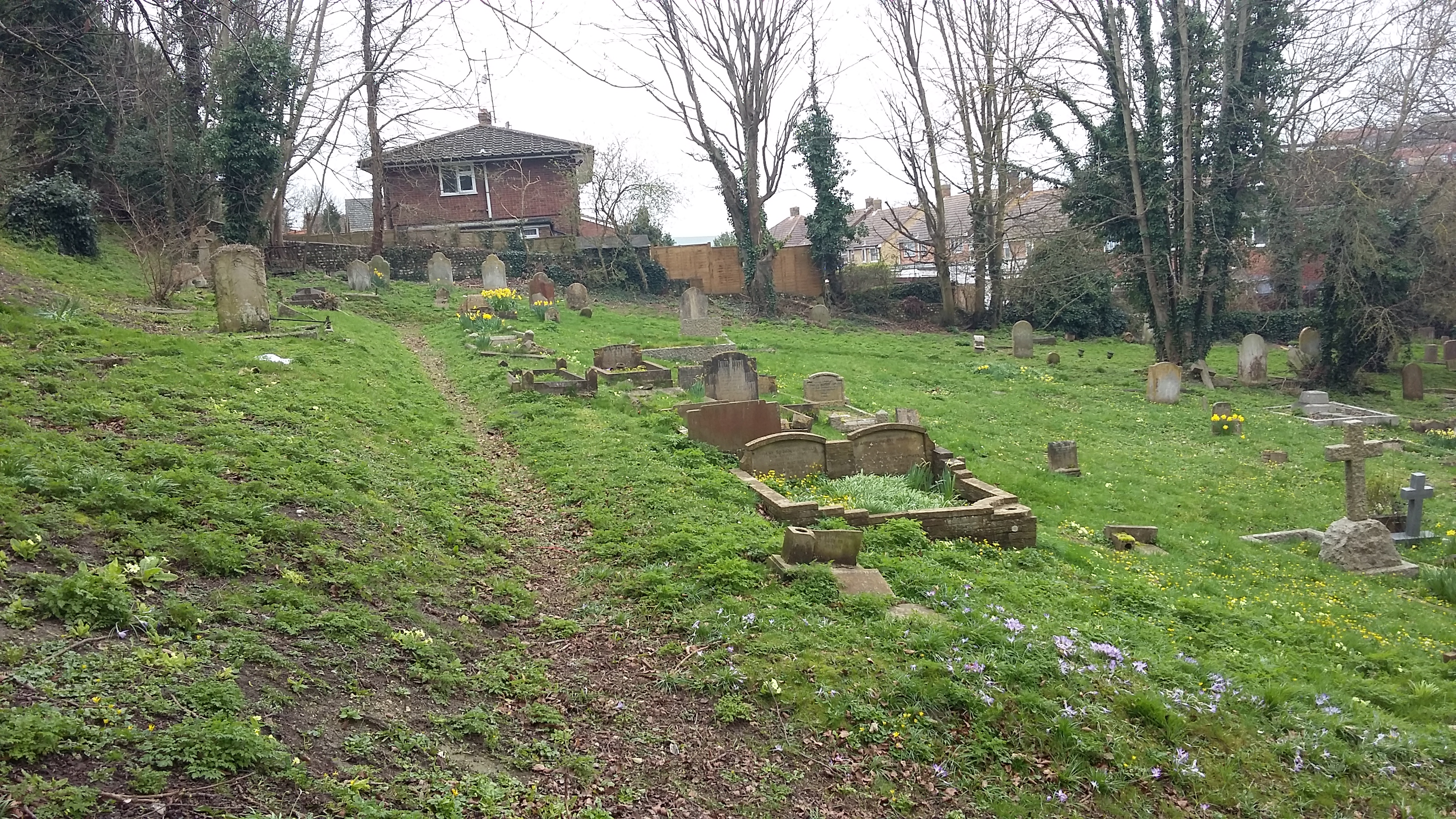
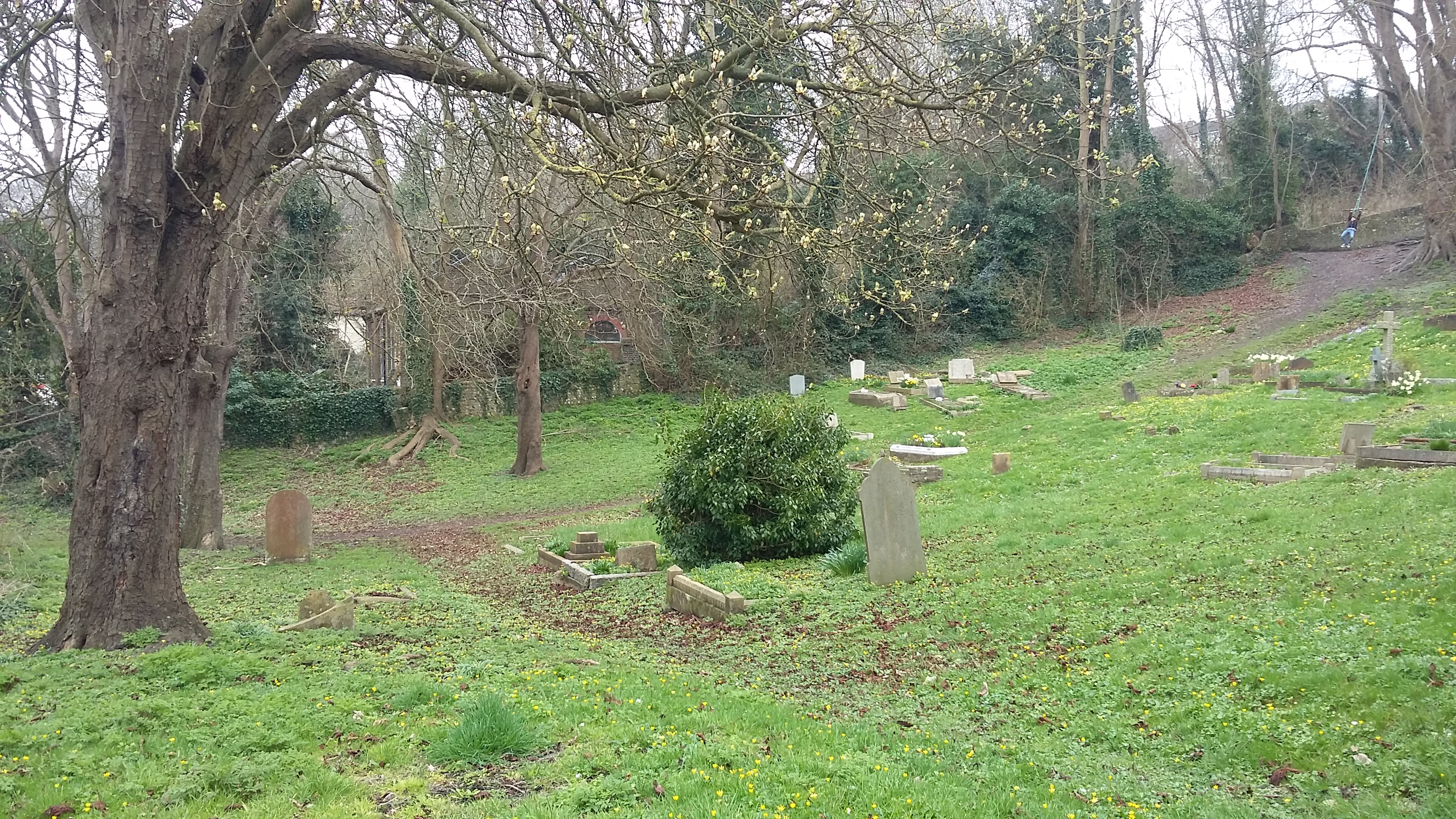
| Memorials | : | 7 |
| Location | : | South Heighton, Lewes District, England |
| Coordinate | : | 50.8032730, 0.0616380 |
| Description | : | South Heighton is a village and civil parish in the Lewes District of East Sussex, England. The village is located seven miles (12 km) south of Lewes. In the 1890s the population of the village grew from less than 100 to over 500 as a result of the opening of a nearby cement manufacturing plant. The village is now associated with the urbanised area of Newhaven. |
frequently asked questions (FAQ):
-
Where is South Heighton Cemetery?
South Heighton Cemetery is located at Denton Road South Heighton, Lewes District ,East Sussex ,England.
-
South Heighton Cemetery cemetery's updated grave count on graveviews.com?
7 memorials
-
Where are the coordinates of the South Heighton Cemetery?
Latitude: 50.8032730
Longitude: 0.0616380
Nearby Cemetories:
1. St Marys Churchyard
Tarring Neville, Lewes District, England
Coordinate: 50.8155480, 0.0485160
2. St Michaels Churchyard
Newhaven, Lewes District, England
Coordinate: 50.7918710, 0.0454260
3. Newhaven Cemetery
Newhaven, Lewes District, England
Coordinate: 50.8005470, 0.0367040
4. St. John's Churchyard
Piddinghoe, Lewes District, England
Coordinate: 50.8094870, 0.0355770
5. St Andrew churchyard
Bishopstone, Lewes District, England
Coordinate: 50.7896530, 0.0876120
6. St Peter Churchyard
East Blatchington, Lewes District, England
Coordinate: 50.7789660, 0.1036120
7. Southease Churchyard
Southease, Lewes District, England
Coordinate: 50.8294960, 0.0191830
8. St Leonard Churchyard
Seaford, Lewes District, England
Coordinate: 50.7718900, 0.1012200
9. Catholic Church of the Immaculate Conception
Brighton, Brighton and Hove Unitary Authority, England
Coordinate: 50.7929140, -0.0005080
10. Seaford Cemetery
Seaford, Lewes District, England
Coordinate: 50.7819980, 0.1217720
11. St Laurence Churchyard
Telscombe, Lewes District, England
Coordinate: 50.8128300, -0.0064050
12. St Peters Churchyard
Rodmell, Lewes District, England
Coordinate: 50.8384680, 0.0177350
13. St. Peter's Churchyard
West Firle, Lewes District, England
Coordinate: 50.8448639, 0.0884910
14. Monk's House Grounds
Rodmell, Lewes District, England
Coordinate: 50.8387500, 0.0165280
15. St Andrew Churchyard
Beddingham, Lewes District, England
Coordinate: 50.8524971, 0.0516700
16. Alciston Parish Church
Alciston, Wealden District, England
Coordinate: 50.8299300, 0.1368560
17. St Nicholas Churchyard
Iford, Lewes District, England
Coordinate: 50.8483860, -0.0007940
18. Alfriston United Reformed Church Cemetery
Alfriston, Wealden District, England
Coordinate: 50.8073380, 0.1571130
19. St. Andrew's Churchyard
Alfriston, Wealden District, England
Coordinate: 50.8065580, 0.1580570
20. St. Mary the Virgin Churchyard
Glynde, Lewes District, England
Coordinate: 50.8646000, 0.0683000
21. St. Michael and All Angels Churchyard
Berwick, Wealden District, England
Coordinate: 50.8239060, 0.1550480
22. St Michael the Archangel Churchyard
Litlington, Wealden District, England
Coordinate: 50.7971330, 0.1602300
23. Selmeston Churchyard
Selmeston, Wealden District, England
Coordinate: 50.8425010, 0.1430420
24. Parish Church of the Good Shepherd
Lullington, Wealden District, England
Coordinate: 50.8068880, 0.1676260


