| Memorials | : | 0 |
| Location | : | Vernon Township, Jennings County, USA |
| Coordinate | : | 38.9445900, -85.5741100 |
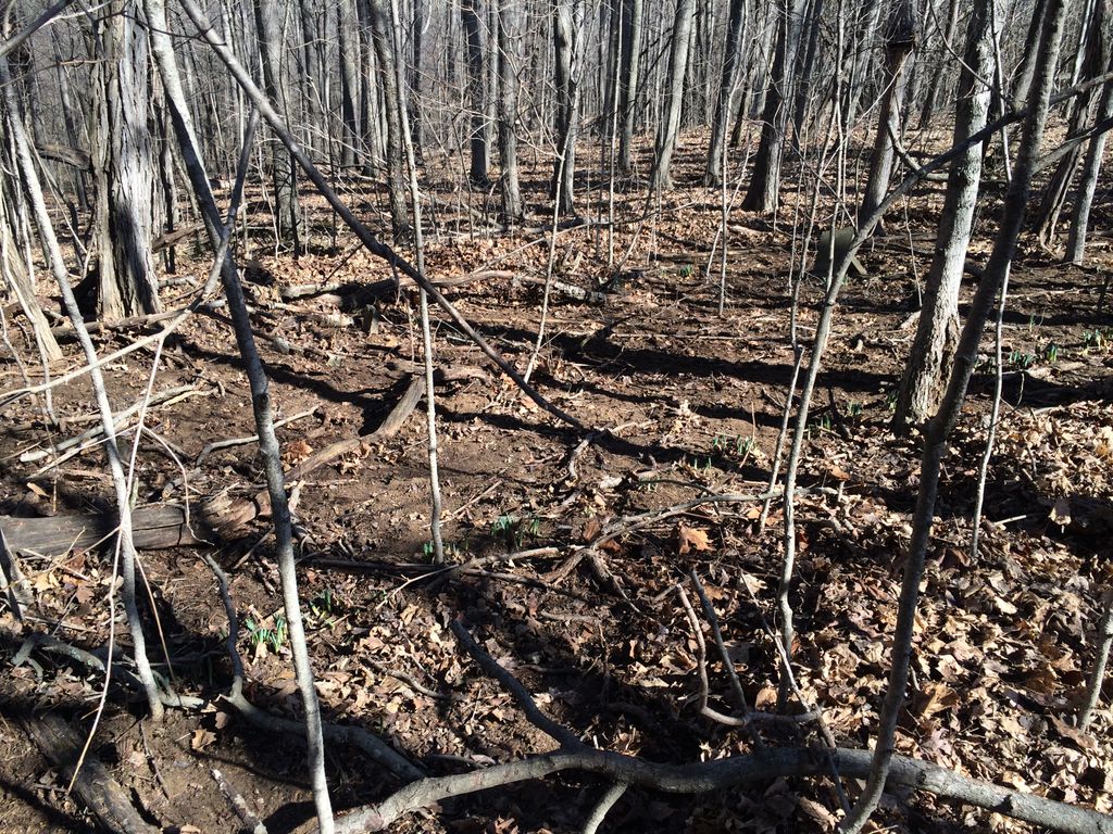
| Description | : | There are no records for this cemetery and it was known only to the property owners until February 2017. Name given based on the known burial. There appears to only be three burials at this site and two are marked with field stones with no inscription. It is believed that the property was owned by John L. Spann at the time it was used for burials. Further research of land records will be conduced to confirm this. The two graves marked only by field stones are possibly young children, but there is nothing to confirm this. The marker of Martha Ann (Spann)... Read More |
frequently asked questions (FAQ):
-
Where is Spann-Wray Cemetery?
Spann-Wray Cemetery is located at Vernon Township, Jennings County ,Indiana ,USA.
-
Spann-Wray Cemetery cemetery's updated grave count on graveviews.com?
0 memorials
-
Where are the coordinates of the Spann-Wray Cemetery?
Latitude: 38.9445900
Longitude: -85.5741100
Nearby Cemetories:
1. Freedom Baptist Church Cemetery
North Vernon, Jennings County, USA
Coordinate: 38.9483109, -85.5756226
2. McGannon Cemetery
Grayford, Jennings County, USA
Coordinate: 38.9357760, -85.5871740
3. Poor Farm Old Folks Cemetery
North Vernon, Jennings County, USA
Coordinate: 38.9233000, -85.5715000
4. Edwards Cemetery
Jennings County, USA
Coordinate: 38.9368000, -85.5473000
5. Bennett Cemetery
Jennings County, USA
Coordinate: 38.9683300, -85.5804400
6. Simpson-Tweedy Cemetery
North Vernon, Jennings County, USA
Coordinate: 38.9315500, -85.6058560
7. Callicotte Cemetery
Jennings County, USA
Coordinate: 38.9303017, -85.5239029
8. Baldwin Cemetery
Vernon, Jennings County, USA
Coordinate: 38.9761009, -85.6117020
9. Ebenezer Methodist Church Cemetery
North Vernon, Jennings County, USA
Coordinate: 38.9858017, -85.5569000
10. Vernon Cemetery
Vernon, Jennings County, USA
Coordinate: 38.9799995, -85.6091995
11. Hughes Cemetery
Bigger Township, Jennings County, USA
Coordinate: 38.9439011, -85.5141983
12. Prather-Hinchman Cemetery
Vernon, Jennings County, USA
Coordinate: 38.9924000, -85.5740000
13. Centerville Baptist Church Cemetery
Lovett, Jennings County, USA
Coordinate: 38.9405861, -85.6416168
14. Graham Presbyterian Cemetery
Lovett, Jennings County, USA
Coordinate: 38.8972960, -85.6098660
15. Valentine Cemetery
North Vernon, Jennings County, USA
Coordinate: 38.9815100, -85.6263670
16. Graham Baptist Cemetery
Butlerville, Jennings County, USA
Coordinate: 38.9464770, -85.5017160
17. Wilson Mill Cemetery
North Vernon, Jennings County, USA
Coordinate: 39.0002910, -85.5434160
18. Rush Branch Methodist Church Cemetery
Jennings County, USA
Coordinate: 38.9780769, -85.5015717
19. Green Cemetery
North Vernon, Jennings County, USA
Coordinate: 38.9378014, -85.6635971
20. Hoyt Cemetery
Dupont, Jefferson County, USA
Coordinate: 38.8869240, -85.5183070
21. Hopewell Cemetery
Commiskey, Jennings County, USA
Coordinate: 38.8826408, -85.6246414
22. Hall-Walton Cemetery
Commiskey, Jennings County, USA
Coordinate: 38.8742638, -85.6023788
23. Dupont Cemetery
Dupont, Jefferson County, USA
Coordinate: 38.8847122, -85.5181503
24. Rockdale Cemetery
Dupont, Jefferson County, USA
Coordinate: 38.8837820, -85.5191790

