| Memorials | : | 0 |
| Location | : | Brewton, Escambia County, USA |
| Coordinate | : | 31.0577340, -86.9927610 |
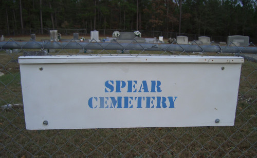
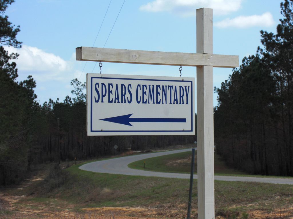
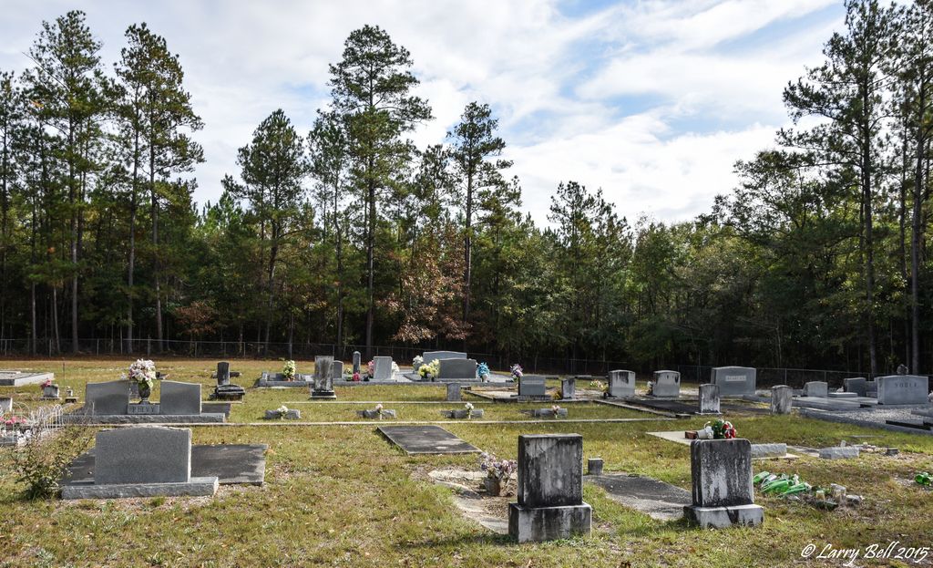
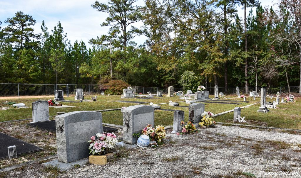
| Description | : | The Spear Cemetery got its name from its close proximity to Spear's Bluff on the Conecuh River. This burial place is located approximately 8 miles southeast of Brewton, Alabama, on CR-55 (also known as Travis Road). The exact location is T-1-N, R-11-E, on the line between Sections 7 and 18. To reach the Spear Cemetery from Brewton/East Brewton, drive south on Hwy-41 (toward Florida) and cross the Conecuh River. At the caution light turn left onto Travis Road. Stay on Travis Road for approximately 7 miles. After crossing the Dixon Mill Creek, look for a... Read More |
frequently asked questions (FAQ):
-
Where is Spear Cemetery?
Spear Cemetery is located at Located off Travis Road on Nelson Road in Escambia County, Alabama Brewton, Escambia County ,Alabama , 36426USA.
-
Spear Cemetery cemetery's updated grave count on graveviews.com?
0 memorials
-
Where are the coordinates of the Spear Cemetery?
Latitude: 31.0577340
Longitude: -86.9927610
Nearby Cemetories:
1. Black Cemetery
East Brewton, Escambia County, USA
Coordinate: 31.0660800, -86.9645900
2. Brown Cemetery
Escambia County, USA
Coordinate: 31.0813999, -87.0046997
3. Mayo Family Cemetery
Riverview, Escambia County, USA
Coordinate: 31.0745100, -86.9657600
4. Dixon Cemetery
Riverview, Escambia County, USA
Coordinate: 31.0458000, -87.0242000
5. Weaver Cemetery
East Brewton, Escambia County, USA
Coordinate: 31.0855999, -87.0196991
6. New Travis Cemetery
Riverview, Escambia County, USA
Coordinate: 31.0408001, -87.0306015
7. Old Travis Cemetery
Riverview, Escambia County, USA
Coordinate: 31.0583000, -87.0492000
8. Fuqua Haveard Cemetery
Escambia County, USA
Coordinate: 31.0328007, -86.9432983
9. Bethel Community Mennonite Church Cemetery
East Brewton, Escambia County, USA
Coordinate: 31.0303570, -86.9362740
10. Bethel Cemetery
Escambia County, USA
Coordinate: 31.0408001, -86.9308014
11. Ridge Road Cemetery
East Brewton, Escambia County, USA
Coordinate: 31.1150000, -87.0083000
12. Rock Hill Assembly of God Church Cemetery
Rock Hill, Escambia County, USA
Coordinate: 31.1165530, -87.0024490
13. Second Saint John's Baptist Church Cemetery
East Brewton, Escambia County, USA
Coordinate: 31.1056050, -87.0384620
14. Spring Hill Cemetery
East Brewton, Escambia County, USA
Coordinate: 31.0952050, -87.0509860
15. May Creek Church Cemetery
Brewton, Escambia County, USA
Coordinate: 31.1124992, -86.9546967
16. Dixonville Cemetery
Dixonville, Escambia County, USA
Coordinate: 31.0006008, -87.0346985
17. Fort Crawford Cemetery
East Brewton, Escambia County, USA
Coordinate: 31.1000004, -87.0591965
18. Barbara Phillips Cemetery
Brewton, Escambia County, USA
Coordinate: 30.9999540, -86.9442160
19. First Shady Grove Cemetery
Brewton, Escambia County, USA
Coordinate: 31.1162000, -86.9376000
20. Sellersville Cemetery
Sellersville, Santa Rosa County, USA
Coordinate: 30.9930992, -86.9405975
21. Second Saint Siloam Baptist Church Cemetery
Brewton, Escambia County, USA
Coordinate: 31.1091580, -87.0646820
22. Baptist Hill Cemetery
Brewton, Escambia County, USA
Coordinate: 31.1133000, -87.0638000
23. Odom Cemetery
Riverview, Escambia County, USA
Coordinate: 31.0310993, -87.0858002
24. Second Shady Grove Cemetery
Escambia County, USA
Coordinate: 31.1297300, -86.9412500


