
| Memorials | : | 7560 |
| Location | : | Easton, Talbot County, USA |
| Coordinate | : | 38.7775002, -76.0727997 |
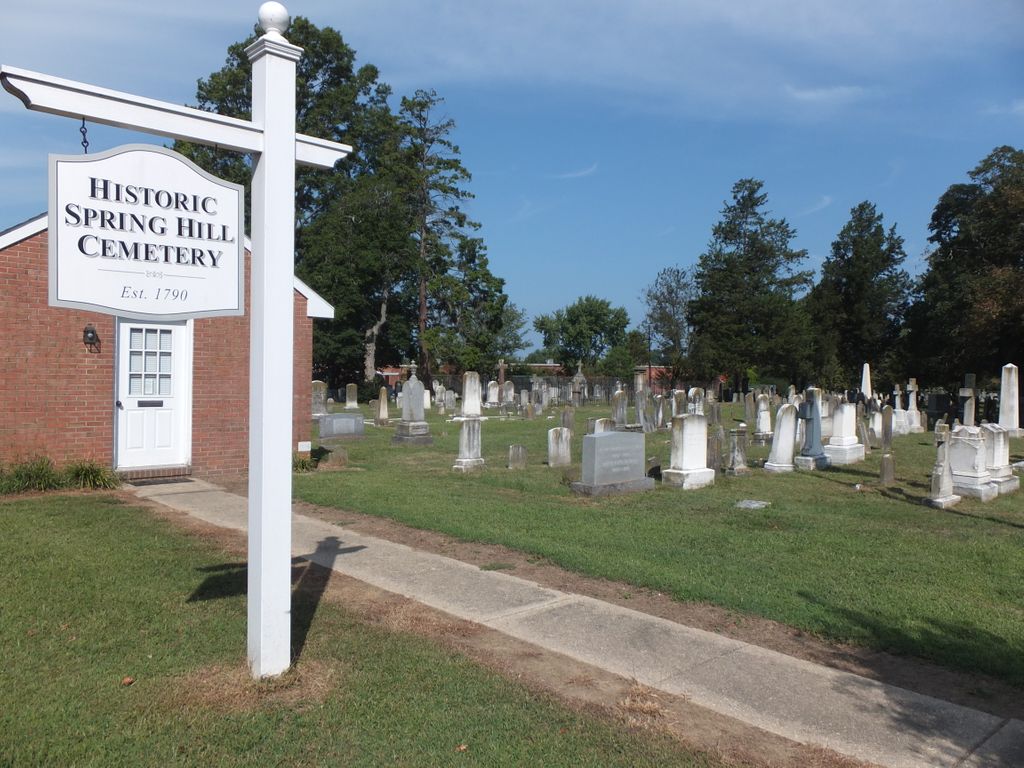
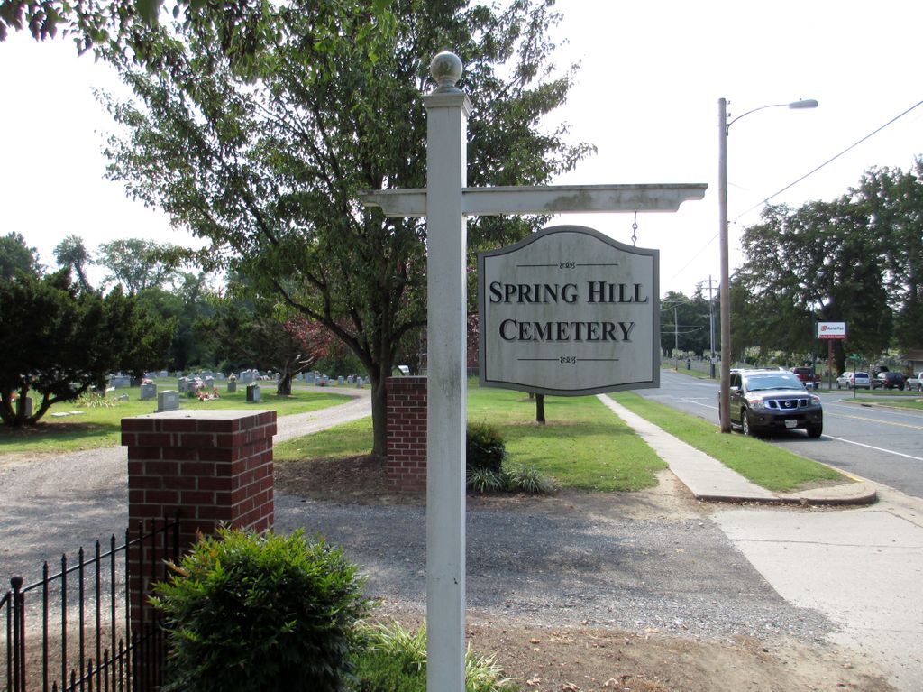
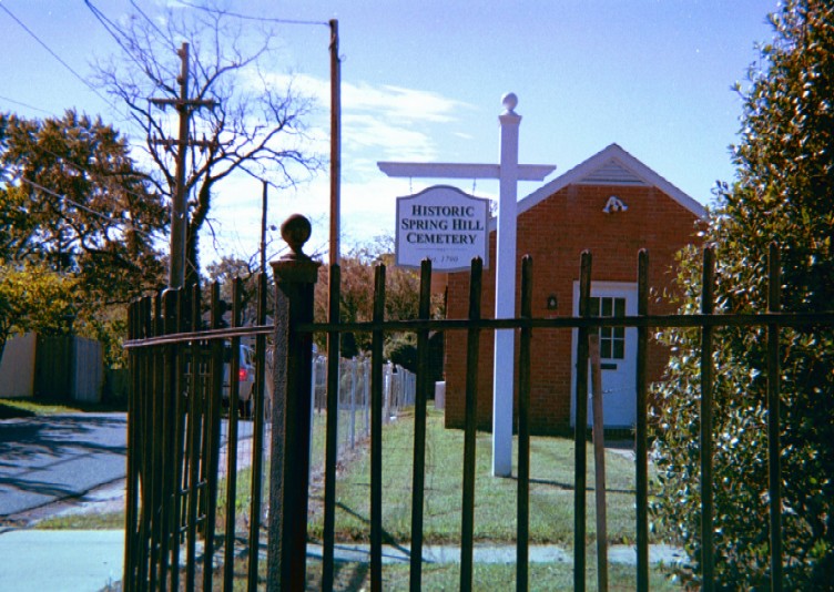
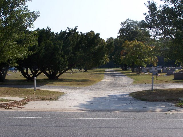
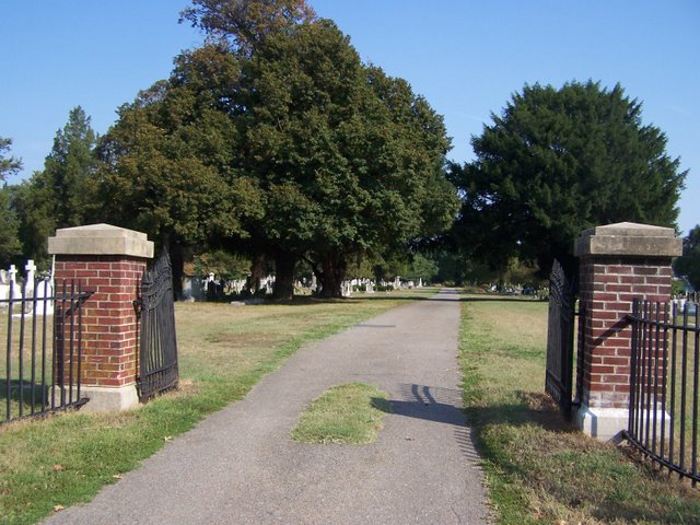
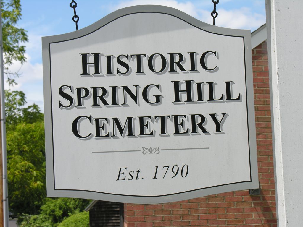
| Description | : | Est. 1790 The first known burial ground in the original town limits of Easton was the land surrounding the Methodist Episcopal Church that had been built in 1790. This Church, the first church to be built in this newly laid out town, stood on the north side of Goldsborough Street, between Thoroughgood Lane and Aurora Street. In 1802, occupying a light rise in the ground at the north end of Harrison Street, was land that could be purchased by subscription for the use by “several denominations of Christians, strangers and people of color” as their... Read More |
frequently asked questions (FAQ):
-
Where is Spring Hill Cemetery?
Spring Hill Cemetery is located at Aurora and North Streets Easton, Talbot County ,Maryland ,USA.
-
Spring Hill Cemetery cemetery's updated grave count on graveviews.com?
7499 memorials
-
Where are the coordinates of the Spring Hill Cemetery?
Latitude: 38.7775002
Longitude: -76.0727997

Nearby Cemetories:
1. Maryland State Police Canine Cemetery Barrack I
Easton, Talbot County, USA
Coordinate: 38.7843938, -76.0753632
2. Richards Memorial Park
Easton, Talbot County, USA
Coordinate: 38.7761002, -76.0821991
3. Doverbrook Cemetery
Easton, Talbot County, USA
Coordinate: 38.7733002, -76.0643997
4. Third Haven Meeting Burial Ground
Easton, Talbot County, USA
Coordinate: 38.7672005, -76.0764008
5. Peachblossom Meeting House Cemetery
Easton, Talbot County, USA
Coordinate: 38.7332900, -76.0681500
6. Lombardy Farm Cemetery
Unionville, Talbot County, USA
Coordinate: 38.8158530, -76.1259852
7. Chapel Cemetery
Easton, Talbot County, USA
Coordinate: 38.8171997, -76.0211029
8. Saint Stephens Church Cemetery
Easton, Talbot County, USA
Coordinate: 38.8091020, -76.1397660
9. Roberts Cemetery
Talbot County, USA
Coordinate: 38.7192001, -76.0488968
10. Ashby-Goldsborough Family Cemetery
Easton, Talbot County, USA
Coordinate: 38.8251600, -76.1239840
11. Queen Esther Cemetery
Talbot County, USA
Coordinate: 38.7132988, -76.0456009
12. All Saints Cemetery
Easton, Talbot County, USA
Coordinate: 38.8464012, -76.0817032
13. Saint Pauls Cemetery
Talbot County, USA
Coordinate: 38.7439003, -76.1624985
14. White Marsh Cemetery
Trappe, Talbot County, USA
Coordinate: 38.6970329, -76.0600662
15. Landing Neck Cemetery
Trappe Landing, Talbot County, USA
Coordinate: 38.7000008, -76.0402985
16. Woodlawn Memorial Park
Easton, Talbot County, USA
Coordinate: 38.8610992, -76.0597000
17. Royal Oak Cemetery
Bellevue, Talbot County, USA
Coordinate: 38.7421989, -76.1774979
18. DeShields Cemetery
Talbot County, USA
Coordinate: 38.8278008, -76.1678009
19. Banning Graveyard
Easton, Talbot County, USA
Coordinate: 38.7205353, -76.1647339
20. Kings Creek Cemetery
Talbot County, USA
Coordinate: 38.8167000, -75.9527969
21. Hammond Family Plot
Saint Michaels, Talbot County, USA
Coordinate: 38.7495600, -76.1988400
22. Mount Zion Cemetery
Bethlehem, Caroline County, USA
Coordinate: 38.7500000, -75.9430900
23. Tuckahoe Friends Meeting House Burying Ground
Talbot County, USA
Coordinate: 38.8253460, -75.9531270
24. Old John Wesley Cemetery
Talbot County, USA
Coordinate: 38.6856003, -76.1397018