
| Memorials | : | 252 |
| Location | : | Fort Recovery, Mercer County, USA |
| Coordinate | : | 40.4129000, -84.7918700 |
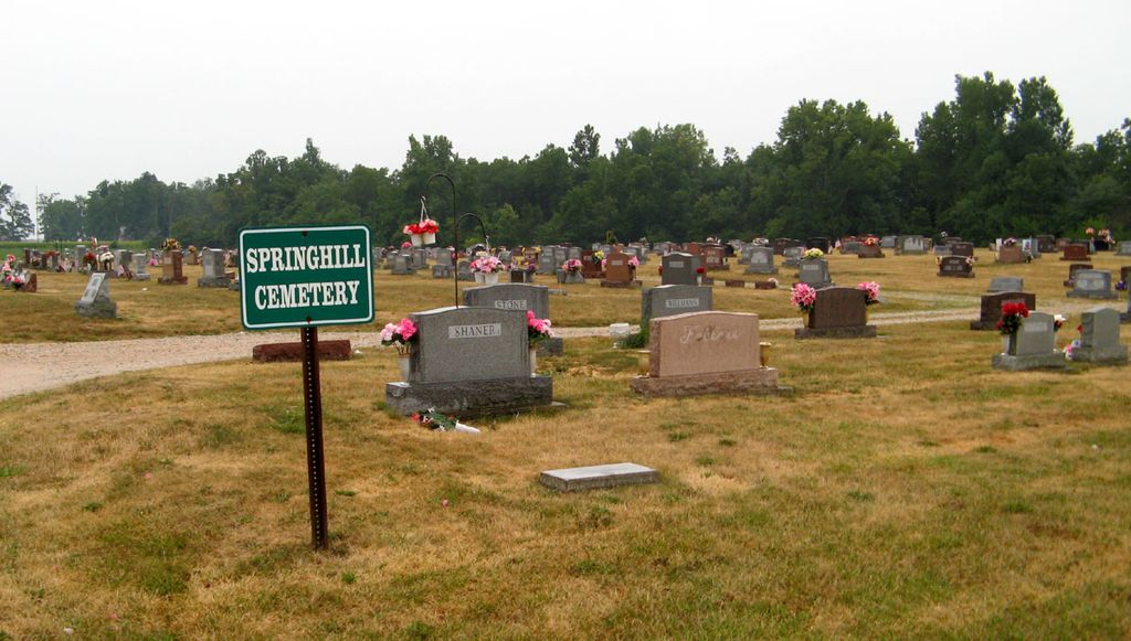
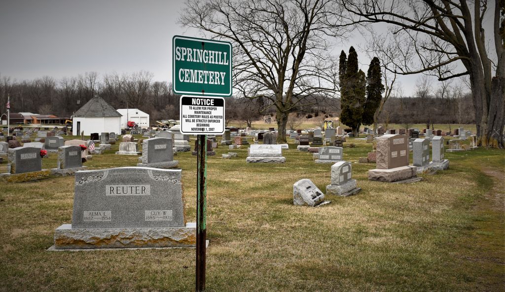
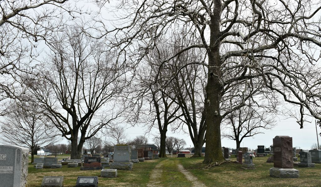
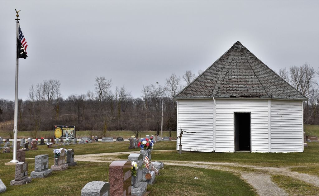
| Description | : | The cemetery is located on the south side of Ohio State Route 119 about 0.4 miles west of its intersection with Lowry Road. The cemetery is located in Recovery Township, Mercer County, Ohio, and is # 7845 (Spring Hill Cemetery) in “Ohio Cemeteries 1803-2003”, compiled by the Ohio Genealogical Society. The cemetery is registered with the Ohio Division of Real Estate and Professional Licensing (ODRE) as Spring Hill Cemetery with registration license number CGR.0000981314. The U.S. Geological Survey (USGS) Geographic Names Information System (GNIS) feature ID for the cemetery is 1046563 (Spring Hill Cemetery). |
frequently asked questions (FAQ):
-
Where is Spring Hill Cemetery?
Spring Hill Cemetery is located at Ohio State Route 119 Fort Recovery, Mercer County ,Ohio , 45846USA.
-
Spring Hill Cemetery cemetery's updated grave count on graveviews.com?
250 memorials
-
Where are the coordinates of the Spring Hill Cemetery?
Latitude: 40.4129000
Longitude: -84.7918700
Nearby Cemetories:
1. Green Mound Cemetery
Fort Recovery, Mercer County, USA
Coordinate: 40.4137600, -84.7983900
2. Old Pioneer Cemetery
Fort Recovery, Mercer County, USA
Coordinate: 40.4108009, -84.7814026
3. Saint Mary Cemetery
Fort Recovery, Mercer County, USA
Coordinate: 40.4071999, -84.7835999
4. Fort Recovery Monument Park
Fort Recovery, Mercer County, USA
Coordinate: 40.4131860, -84.7758080
5. Scott-Anderson Cemetery
Fort Recovery, Mercer County, USA
Coordinate: 40.4356003, -84.7908020
6. Pisgah Cemetery
Fort Recovery, Mercer County, USA
Coordinate: 40.3802986, -84.7814026
7. Money Cemetery
Fort Recovery, Mercer County, USA
Coordinate: 40.4534120, -84.7939800
8. Saint Joseph Cemetery
Saint Joseph, Mercer County, USA
Coordinate: 40.4275017, -84.7386017
9. Lotz Cemetery
Madison Township, Jay County, USA
Coordinate: 40.3703194, -84.8174667
10. Saint Peter Cemetery
Saint Peter, Mercer County, USA
Coordinate: 40.4511108, -84.7467957
11. Salamonia Cemetery
Salamonia, Jay County, USA
Coordinate: 40.3795800, -84.8641300
12. Morehouse Cemetery
Noble Township, Jay County, USA
Coordinate: 40.4262620, -84.8746230
13. Macedon Cemetery
Macedon, Mercer County, USA
Coordinate: 40.4794922, -84.7588501
14. Stevenson Cemetery
Wabash Township, Jay County, USA
Coordinate: 40.4848290, -84.8059130
15. Mount Zion Cemetery
Noble Township, Jay County, USA
Coordinate: 40.4685173, -84.8642960
16. Saint Wendelin Cemetery
Wendelin, Mercer County, USA
Coordinate: 40.3987236, -84.6901703
17. Lauber Cemetery
Wendelin, Mercer County, USA
Coordinate: 40.4074821, -84.6865616
18. Saint Pauls Catholic Cemetery
Sharpsburg, Mercer County, USA
Coordinate: 40.3658371, -84.7057877
19. Saint Anthony Cemetery
Fort Recovery, Mercer County, USA
Coordinate: 40.5087710, -84.7859470
20. Pleasant Ridge Cemetery
Darke County, USA
Coordinate: 40.3164350, -84.7749610
21. North Padua Cemetery
Padua, Mercer County, USA
Coordinate: 40.5129690, -84.7839460
22. Mount Zion Cemetery
Mississinawa Township, Darke County, USA
Coordinate: 40.3091800, -84.7874200
23. Pleasant Hill Cemetery
Madison Township, Jay County, USA
Coordinate: 40.3090477, -84.8247375
24. Dixon Cemetery
Erastus, Mercer County, USA
Coordinate: 40.5114620, -84.7319650