
| Memorials | : | 0 |
| Location | : | Archer, Pickens County, USA |
| Coordinate | : | 33.2867012, -88.2397003 |
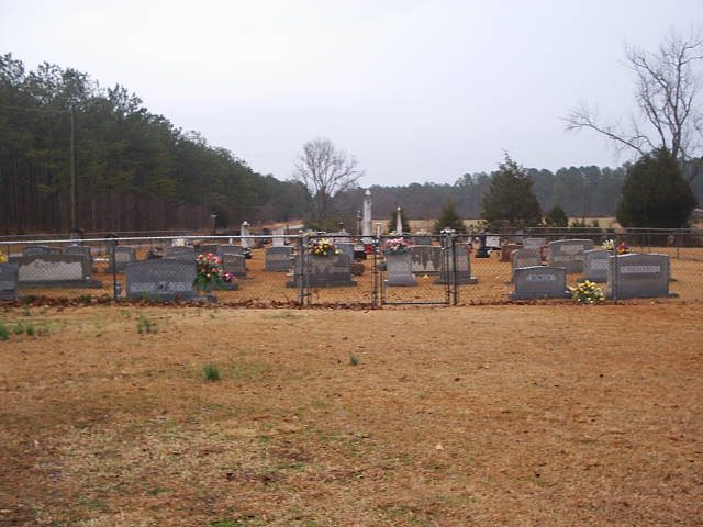
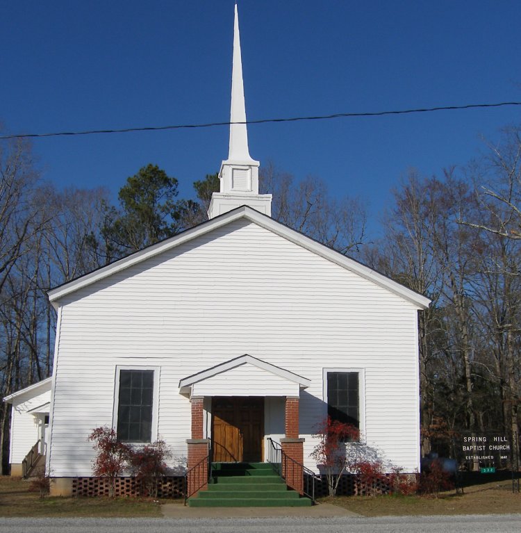
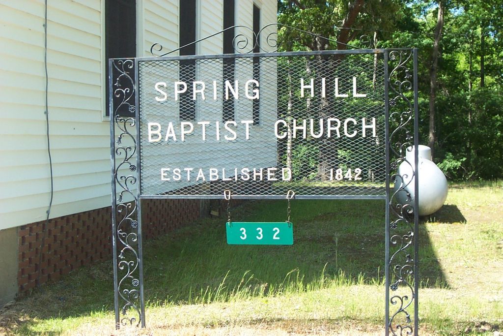
| Description | : | Spring Hill Church Cemetery is located on Stinson Ridge Road approximately 1/2 mile north of Pickens CR 12. Note: There is another Springhill Baptist Church Cemetery located on Pickens CR 12, it is an African-American Cemetery and is located approximately two miles to the west near Pickensville AL. |
frequently asked questions (FAQ):
-
Where is Spring Hill Church Cemetery?
Spring Hill Church Cemetery is located at Archer, Pickens County ,Alabama ,USA.
-
Spring Hill Church Cemetery cemetery's updated grave count on graveviews.com?
0 memorials
-
Where are the coordinates of the Spring Hill Church Cemetery?
Latitude: 33.2867012
Longitude: -88.2397003
Nearby Cemetories:
1. Springhill Baptist Church Cemetery
Pickensville, Pickens County, USA
Coordinate: 33.2847000, -88.2394000
2. Cook-Temple Memorial Cemetery
Pickensville, Pickens County, USA
Coordinate: 33.2844000, -88.2606000
3. Hanks Cemetery
Archer, Pickens County, USA
Coordinate: 33.2635000, -88.2322000
4. Doss Cemetery
Pickensville, Pickens County, USA
Coordinate: 33.2619019, -88.2600021
5. Shady Grove Cemetery
Carrollton, Pickens County, USA
Coordinate: 33.3037120, -88.2084670
6. Nance Cemetery
Pickensville, Pickens County, USA
Coordinate: 33.2540200, -88.2567000
7. Bain Cemetery
Carrollton, Pickens County, USA
Coordinate: 33.2740000, -88.1995000
8. Leslie Britt Family Cemetery
Pine Grove, Pickens County, USA
Coordinate: 33.3256000, -88.2443000
9. New Cumberland Cemetery
Pickensville, Pickens County, USA
Coordinate: 33.2402992, -88.2319031
10. Oak Ridge Cemetery
Pickens County, USA
Coordinate: 33.3235400, -88.2800000
11. Beebe Chapel Cemetery
Pickensville, Pickens County, USA
Coordinate: 33.2344700, -88.2625400
12. Upper Cemetery
Pickensville, Pickens County, USA
Coordinate: 33.2345500, -88.2640400
13. Mount Olive Baptist Church Cemetery
Pine Grove, Pickens County, USA
Coordinate: 33.3372002, -88.2746964
14. Crossroads Cemetery
Carrollton, Pickens County, USA
Coordinate: 33.3213997, -88.1789017
15. Pine Grove Cemetery
Pine Grove, Pickens County, USA
Coordinate: 33.3493958, -88.2279358
16. Brooks Cemetery
Pickens County, USA
Coordinate: 33.2490300, -88.1711200
17. Haynie Cemetery
Carrollton, Pickens County, USA
Coordinate: 33.2794000, -88.1564000
18. Lower Cemetery
Pickensville, Pickens County, USA
Coordinate: 33.2192001, -88.2664032
19. Saint John Cemetery
Pickensville, Pickens County, USA
Coordinate: 33.2188988, -88.2664032
20. Big Creek Cemetery
Pickens County, USA
Coordinate: 33.2606010, -88.1556015
21. Brookshire Cemetery
Pickens County, USA
Coordinate: 33.3499985, -88.2964020
22. Spiller Cemetery
Sapps, Pickens County, USA
Coordinate: 33.2355995, -88.1647034
23. Pilgrim Rest Cemetery
Sapps, Pickens County, USA
Coordinate: 33.2247009, -88.1707993
24. Chandler Cemetery
Lowndes County, USA
Coordinate: 33.3039017, -88.3394012