| Memorials | : | 0 |
| Location | : | Garner, Wake County, USA |
| Coordinate | : | 35.6978730, -78.5427090 |
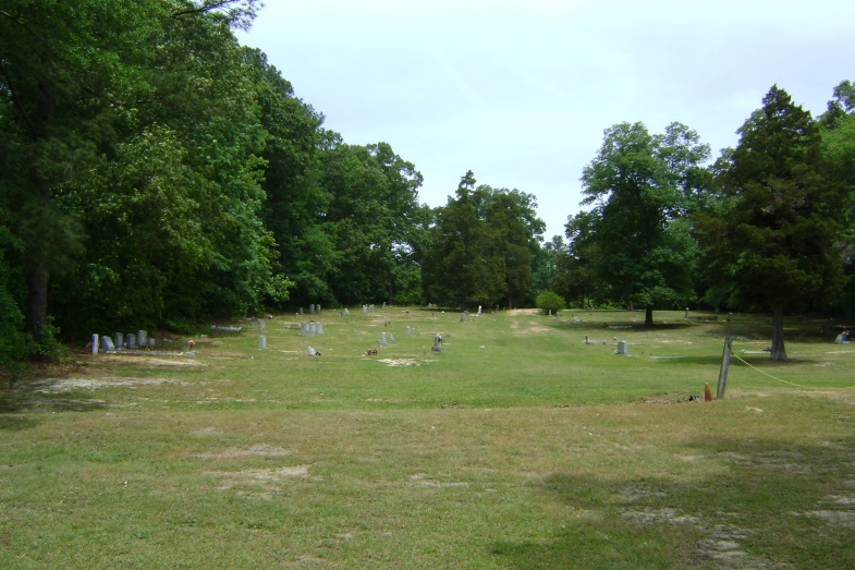
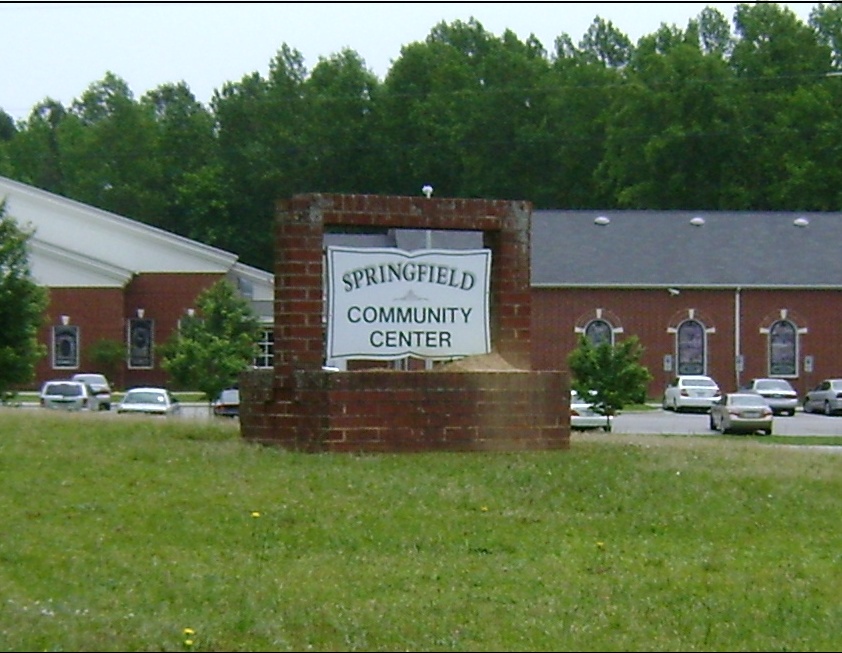
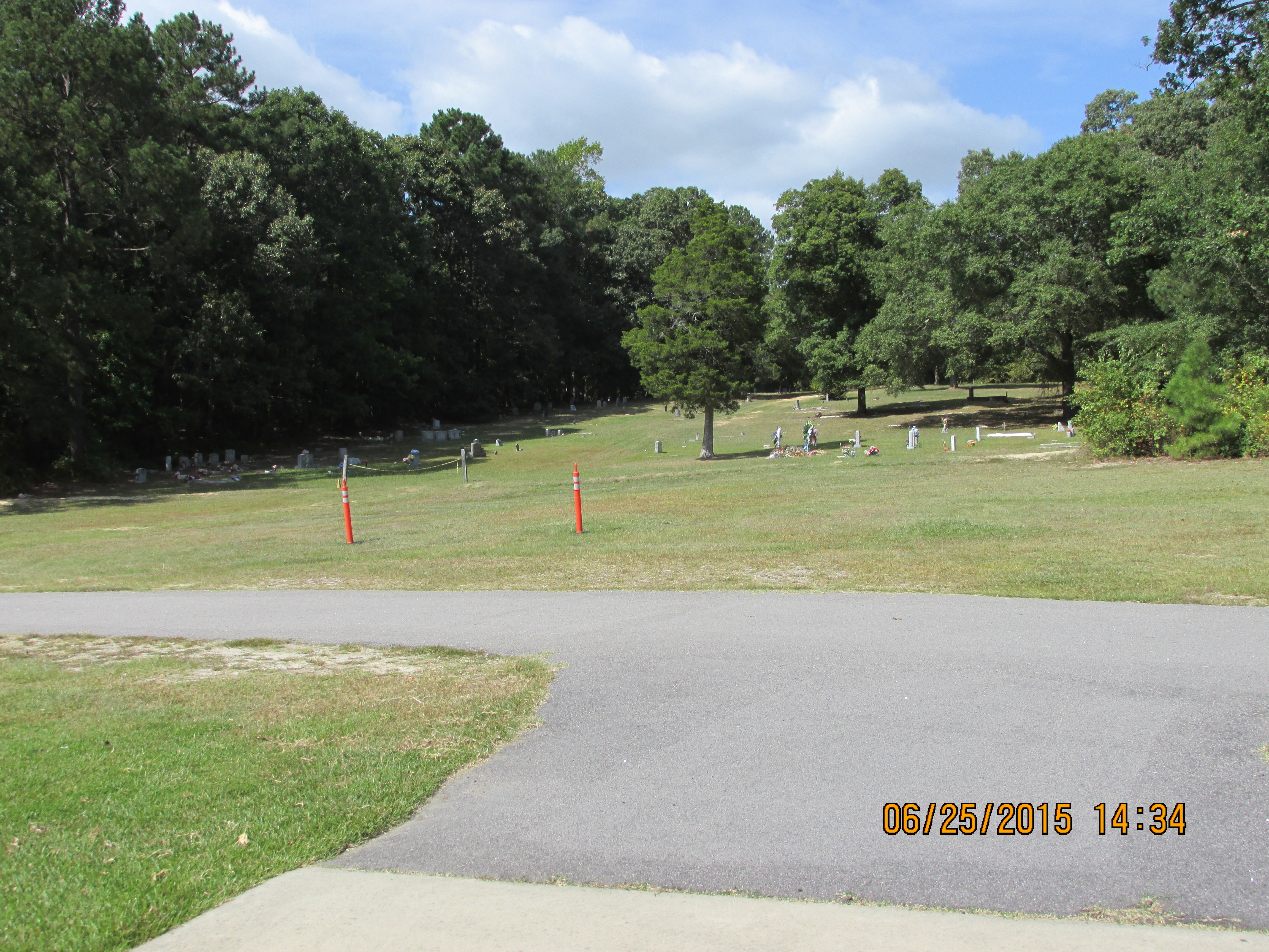
| Description | : | AFRICAN AMERICAN CEMETERY This cemetery is located at 4306 Auburn-Knightdale Road in Garner, NC, directly behind the Springfield Community Center, and across the street from the Springfield Baptist Church. There are unmarked slave graves in this cemetery, and many date back to post Civil War period. The cemetery is located on a gentle green grassy slope behind the Community Center, surrounded by shade trees. It is well maintained and lovingly care for. Springfield Baptist Church was founded ca. 1866, when services were held on the east side of Mount Moriah Church and in 1895-1907 the Community Center was built.... Read More |
frequently asked questions (FAQ):
-
Where is Springfield Baptist Church Community Cemetery?
Springfield Baptist Church Community Cemetery is located at 4306 Auburn-Knightdale Road Garner, Wake County ,North Carolina , 27610USA.
-
Springfield Baptist Church Community Cemetery cemetery's updated grave count on graveviews.com?
0 memorials
-
Where are the coordinates of the Springfield Baptist Church Community Cemetery?
Latitude: 35.6978730
Longitude: -78.5427090
Nearby Cemetories:
1. Auburn Christian Church Cemetery
Garner, Wake County, USA
Coordinate: 35.6963400, -78.5574810
2. Johns Cemetery
Wake County, USA
Coordinate: 35.7085600, -78.5578440
3. Mount Moriah Baptist Church Cemetery
Raleigh, Wake County, USA
Coordinate: 35.6847310, -78.5270990
4. Ebenezer United Methodist Church Cemetery
Garner, Wake County, USA
Coordinate: 35.7267270, -78.5510560
5. Bagwell Family Cemetery
Garner, Wake County, USA
Coordinate: 35.7282104, -78.5538025
6. Mount Herman Christian Church Cemetery
Garner, Wake County, USA
Coordinate: 35.6621399, -78.5468369
7. Good Samaritan Baptist Church Cemetery
Garner, Wake County, USA
Coordinate: 35.6576510, -78.5595890
8. Hayes Chapel Christian Church Cemetery
Garner, Wake County, USA
Coordinate: 35.7066570, -78.6012180
9. Hilliard Family Cemetery
Garner, Wake County, USA
Coordinate: 35.7221985, -78.5942001
10. Powell Cemetery
Garner, Wake County, USA
Coordinate: 35.6980680, -78.6037751
11. Pinecrest Memorial Gardens
Clayton, Johnston County, USA
Coordinate: 35.6644096, -78.4939880
12. Rand Street United Church of Christ Cemetery
Garner, Wake County, USA
Coordinate: 35.7018940, -78.6074570
13. Mitchiner Cemetery
Wake County, USA
Coordinate: 35.6727982, -78.6033020
14. New Bethel Baptist Church Cemetery
Garner, Wake County, USA
Coordinate: 35.6697970, -78.6049740
15. Good Samaritan Baptist Church Cemetery
Clayton, Johnston County, USA
Coordinate: 35.6394501, -78.5274963
16. Wiley D. Jones Cemetery
Clayton, Johnston County, USA
Coordinate: 35.6476800, -78.5027010
17. Peace Chapel of Deliverance Cemetery
Garner, Wake County, USA
Coordinate: 35.7112340, -78.6150690
18. Carolina Biblical Gardens
Garner, Wake County, USA
Coordinate: 35.7355995, -78.6044006
19. Rand Cemetery
Wake County, USA
Coordinate: 35.6631012, -78.6085968
20. Bell-McCullers Cemetery
Clayton, Johnston County, USA
Coordinate: 35.6811000, -78.4639690
21. Wake Baptist Grove Church Cemetery
Garner, Wake County, USA
Coordinate: 35.7126999, -78.6246109
22. McCullers Cemetery
Clayton, Johnston County, USA
Coordinate: 35.6617012, -78.4677963
23. Hinton Family Cemetery
Knightdale, Wake County, USA
Coordinate: 35.7598000, -78.4993700
24. Bethlehem Baptist Church Cemetery
Knightdale, Wake County, USA
Coordinate: 35.7505970, -78.4831640


