
| Memorials | : | 7 |
| Location | : | Leopold, Doddridge County, USA |
| Coordinate | : | 39.1036730, -80.7268200 |
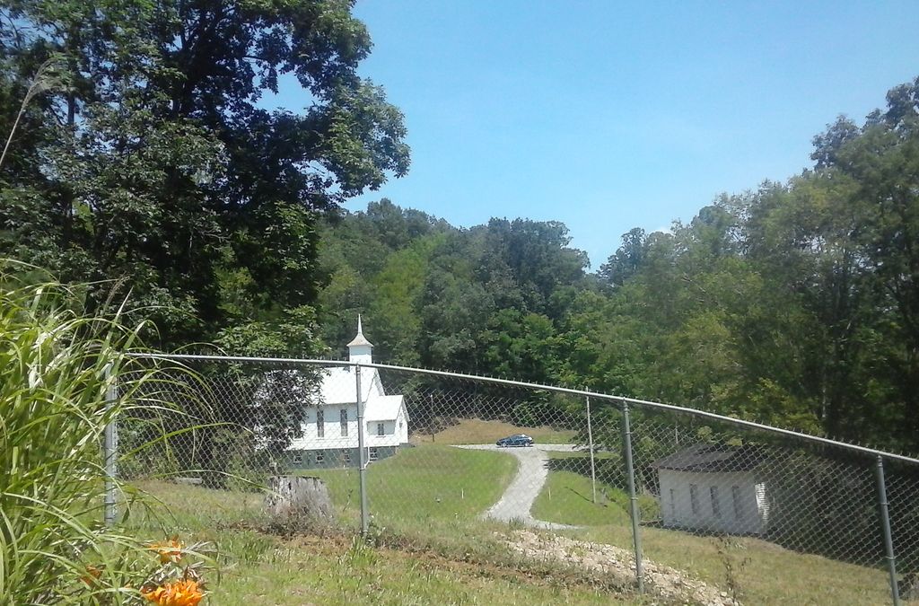
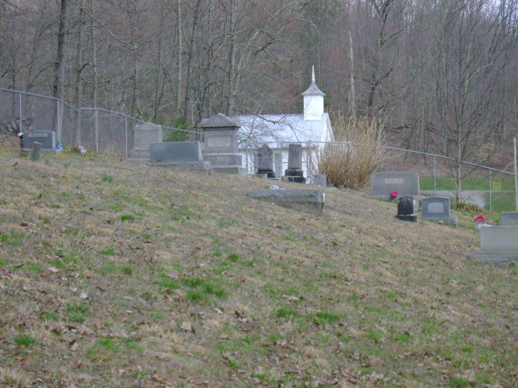
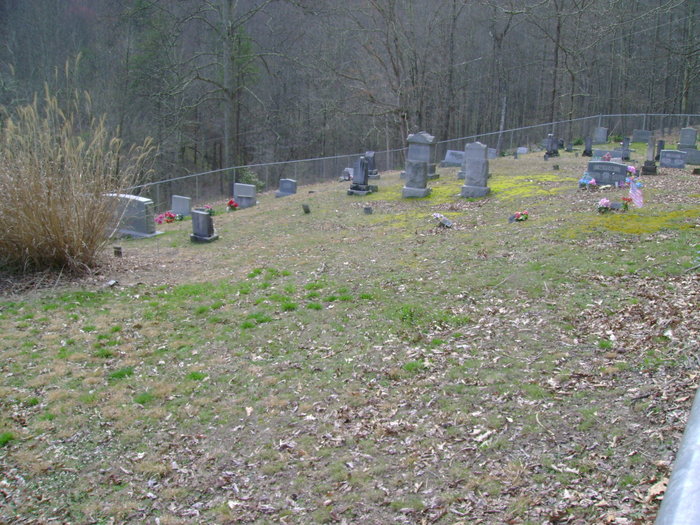
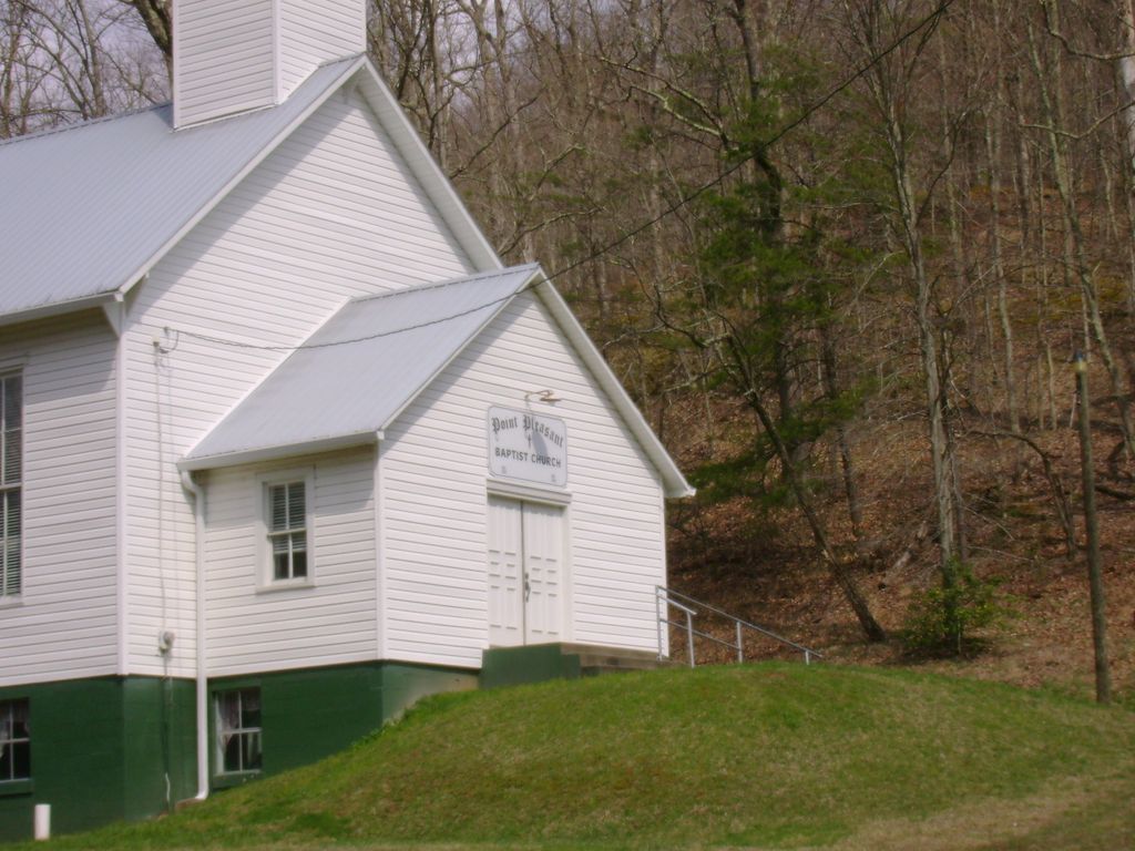
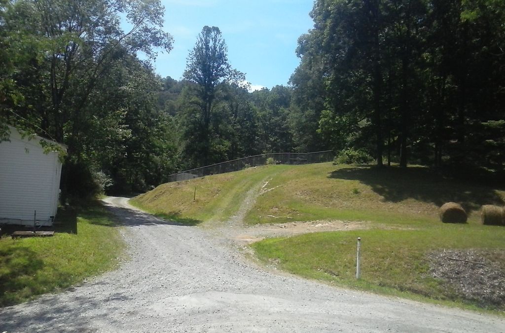
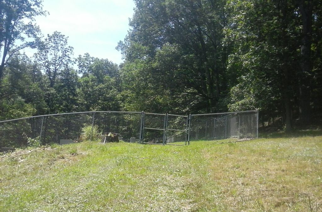
| Description | : | Location: Fallen Timber Run in Cove District, Doddridge County. Directions; Start at Doddridge County Court House in West Union. Drive South on Route 18 for aproximately 19.0 miles to County Road 70 take County Road 70 for 1.6 miles to the church which will be located on the left. This is at the juncton of County Road 70 and County Road 72, however County Road 72 is not marked. Cemetery is on the right side of the road just above the old Fallen Timber School less than .1 th mile away from the church. Cemetery is located on top of... Read More |
frequently asked questions (FAQ):
-
Where is Point Pleasant Baptist Church Cemetery?
Point Pleasant Baptist Church Cemetery is located at Leopold, Doddridge County ,West Virginia ,USA.
-
Point Pleasant Baptist Church Cemetery cemetery's updated grave count on graveviews.com?
5 memorials
-
Where are the coordinates of the Point Pleasant Baptist Church Cemetery?
Latitude: 39.1036730
Longitude: -80.7268200
Nearby Cemetories:
1. Point Pleasant Cemetery
Oxford, Doddridge County, USA
Coordinate: 39.1032982, -80.7281036
2. Halderman Cemetery
Lewis County, USA
Coordinate: 39.0821991, -80.7039032
3. Saint Clare Cemetery
Saint Clara, Doddridge County, USA
Coordinate: 39.1258011, -80.7046967
4. Saint Johannes Lutheran Church Cemetery
New Milton, Doddridge County, USA
Coordinate: 39.1258320, -80.7014290
5. Lowther Cemetery
Doddridge County, USA
Coordinate: 39.1096992, -80.7656021
6. Big Run Cemetery
Gilmer County, USA
Coordinate: 39.0802994, -80.7585983
7. Mount Earnest Cemetery
Gilmer County, USA
Coordinate: 39.0867004, -80.7652969
8. Brannon Cemetery
Gilmer County, USA
Coordinate: 39.0997009, -80.7718964
9. Hurst Cemetery
Lewis County, USA
Coordinate: 39.0741997, -80.6999969
10. Spurgeon Cemetery
Conings, Gilmer County, USA
Coordinate: 39.1019000, -80.7801750
11. Straight Run Cemetery
Hurst, Lewis County, USA
Coordinate: 39.0802994, -80.6774979
12. Redemption Cemetery
Doddridge County, USA
Coordinate: 39.1506004, -80.7130966
13. Keister Cemetery
Gilmer County, USA
Coordinate: 39.0727997, -80.7817001
14. Grove Church Cemetery
Grove, Doddridge County, USA
Coordinate: 39.1474600, -80.7707700
15. Grove Cemetery
West Union, Doddridge County, USA
Coordinate: 39.1478004, -80.7711029
16. Walnut Fork Cemetery
Lewis County, USA
Coordinate: 39.0706910, -80.6644980
17. Carder Cemetery
Vadis, Lewis County, USA
Coordinate: 39.0433006, -80.7142029
18. Mount Union Methodist Cemetery
Leopold, Doddridge County, USA
Coordinate: 39.1133330, -80.8050000
19. Lough Cemetery
New Milton, Doddridge County, USA
Coordinate: 39.1514160, -80.6667000
20. Leason Cemetery
Doddridge County, USA
Coordinate: 39.1506004, -80.8005981
21. Saint Mary's Cemetery
Fink, Lewis County, USA
Coordinate: 39.1180992, -80.6264038
22. Woofter Cemetery
Alum Bridge, Lewis County, USA
Coordinate: 39.0299988, -80.6808014
23. Troy IOOF Community Cemetery
Troy, Gilmer County, USA
Coordinate: 39.0281170, -80.7679560
24. Woofter Cemetery
Lewis County, USA
Coordinate: 39.1044006, -80.6200027