| Memorials | : | 0 |
| Location | : | Windy Nook, Metropolitan Borough of Gateshead, England |
| Coordinate | : | 54.9426030, -1.5765070 |
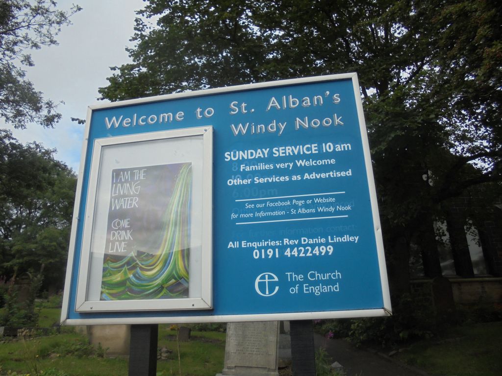
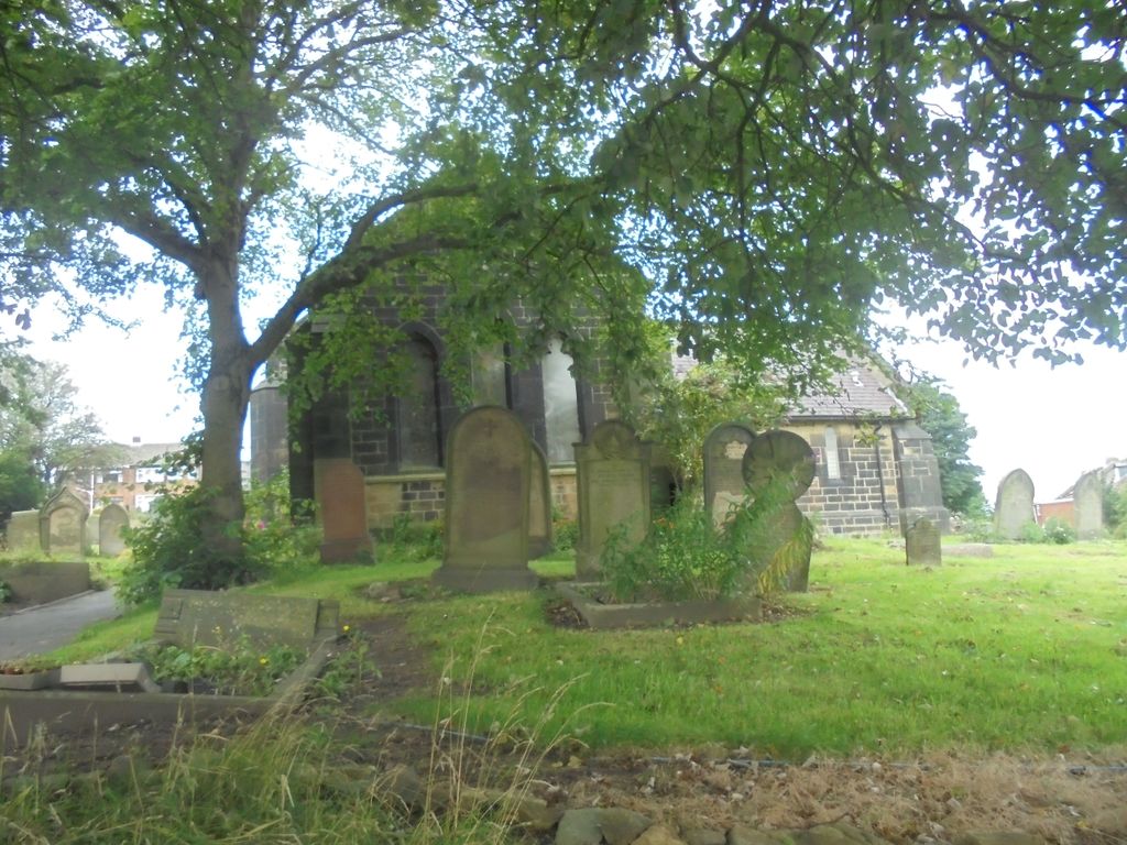
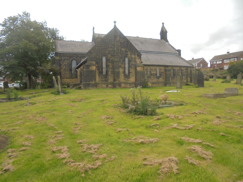
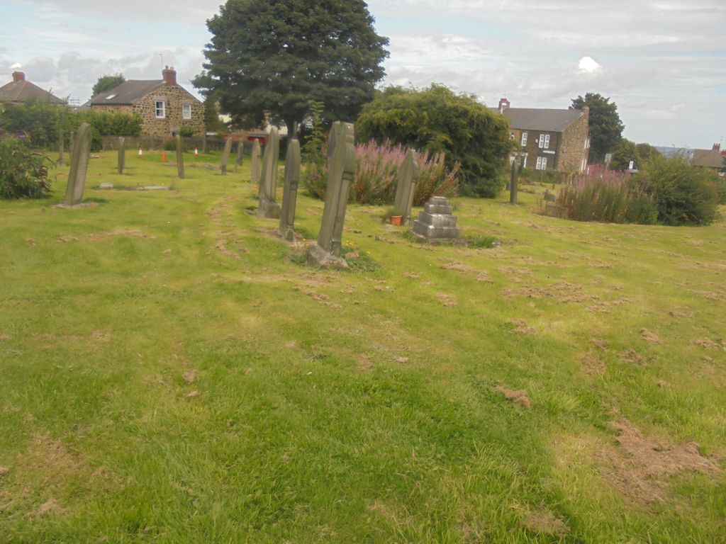
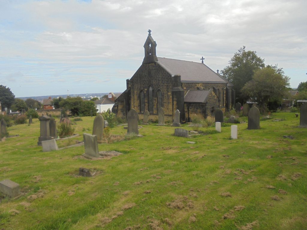
| Description | : | St Alban's Church is located on the corner of Windy Nook Road and Carr Hill Road and is opposite Tesco Express. |
frequently asked questions (FAQ):
-
Where is St. Alban's Churchyard?
St. Alban's Churchyard is located at Windy Nook, Metropolitan Borough of Gateshead ,Tyne and Wear ,England.
-
St. Alban's Churchyard cemetery's updated grave count on graveviews.com?
0 memorials
-
Where are the coordinates of the St. Alban's Churchyard?
Latitude: 54.9426030
Longitude: -1.5765070
Nearby Cemetories:
1. St. John's Churchyard Gateshead Fell
Sheriff Hill, Metropolitan Borough of Gateshead, England
Coordinate: 54.9384680, -1.5882350
2. St Oswald’s Roman Catholic Cemetery
Wrekenton, Metropolitan Borough of Gateshead, England
Coordinate: 54.9278600, -1.5732900
3. St. Mary's Churchyard
Heworth, Metropolitan Borough of Gateshead, England
Coordinate: 54.9509290, -1.5539500
4. Heworth Cemetery
Heworth, Metropolitan Borough of Gateshead, England
Coordinate: 54.9501570, -1.5510870
5. Gateshead East Cemetery
Gateshead, Metropolitan Borough of Gateshead, England
Coordinate: 54.9560360, -1.5939800
6. Saltwell Crematorium
Gateshead, Metropolitan Borough of Gateshead, England
Coordinate: 54.9406000, -1.6066100
7. Saltwell Cemetery
Gateshead, Metropolitan Borough of Gateshead, England
Coordinate: 54.9407400, -1.6068600
8. St Josephs Roman Catholic Church
Gateshead, Metropolitan Borough of Gateshead, England
Coordinate: 54.9594469, -1.6018142
9. St Mary's Churchyard
Gateshead, Metropolitan Borough of Gateshead, England
Coordinate: 54.9665361, -1.6039875
10. Holy Trinity Churchyard
Usworth, Metropolitan Borough of Sunderland, England
Coordinate: 54.9205210, -1.5385030
11. St Andrews Churchyard
Lamesley, Metropolitan Borough of Gateshead, England
Coordinate: 54.9154000, -1.6076010
12. All Saints Churchyard
Newcastle-upon-Tyne, Metropolitan Borough of Newcastle upon Tyne, England
Coordinate: 54.9701690, -1.6069110
13. Walker Churchyard
Walker, Metropolitan Borough of Newcastle upon Tyne, England
Coordinate: 54.9727000, -1.5523630
14. Newcastle Cathedral
Newcastle-upon-Tyne, Metropolitan Borough of Newcastle upon Tyne, England
Coordinate: 54.9700730, -1.6111580
15. St. Mary's Cathedral and Churchyard
Newcastle-upon-Tyne, Metropolitan Borough of Newcastle upon Tyne, England
Coordinate: 54.9690970, -1.6193680
16. Newcastle upon Tyne Greyfriars
Newcastle-upon-Tyne, Metropolitan Borough of Newcastle upon Tyne, England
Coordinate: 54.9741300, -1.6119300
17. Thornton Street Jewish Cemetery
Newcastle-upon-Tyne, Metropolitan Borough of Newcastle upon Tyne, England
Coordinate: 54.9700140, -1.6211580
18. Birtley Crematorium and Cemetery
Birtley, Metropolitan Borough of Gateshead, England
Coordinate: 54.9052590, -1.5832360
19. St Andrew Churchyard
Newcastle-upon-Tyne, Metropolitan Borough of Newcastle upon Tyne, England
Coordinate: 54.9736273, -1.6178198
20. Hebburn Cemetery
Hebburn, Metropolitan Borough of South Tyneside, England
Coordinate: 54.9684590, -1.5225580
21. St. Thomas' Churchyard
Newcastle-upon-Tyne, Metropolitan Borough of Newcastle upon Tyne, England
Coordinate: 54.9782000, -1.6130680
22. St Paul's Churchyard
Newcastle-upon-Tyne, Metropolitan Borough of Newcastle upon Tyne, England
Coordinate: 54.9722280, -1.6301050
23. Westgate Hill General Cemetery
Newcastle-upon-Tyne, Metropolitan Borough of Newcastle upon Tyne, England
Coordinate: 54.9719880, -1.6313500
24. Jesmond Old Cemetery
Newcastle-upon-Tyne, Metropolitan Borough of Newcastle upon Tyne, England
Coordinate: 54.9842420, -1.5995580

