
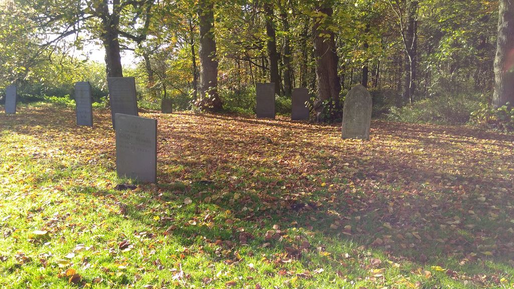
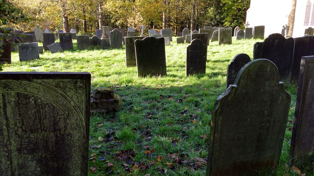
| Memorials | : | 128 |
| Location | : | Prestwold, Charnwood Borough, England |
| Coordinate | : | 52.7875000, -1.1446400 |
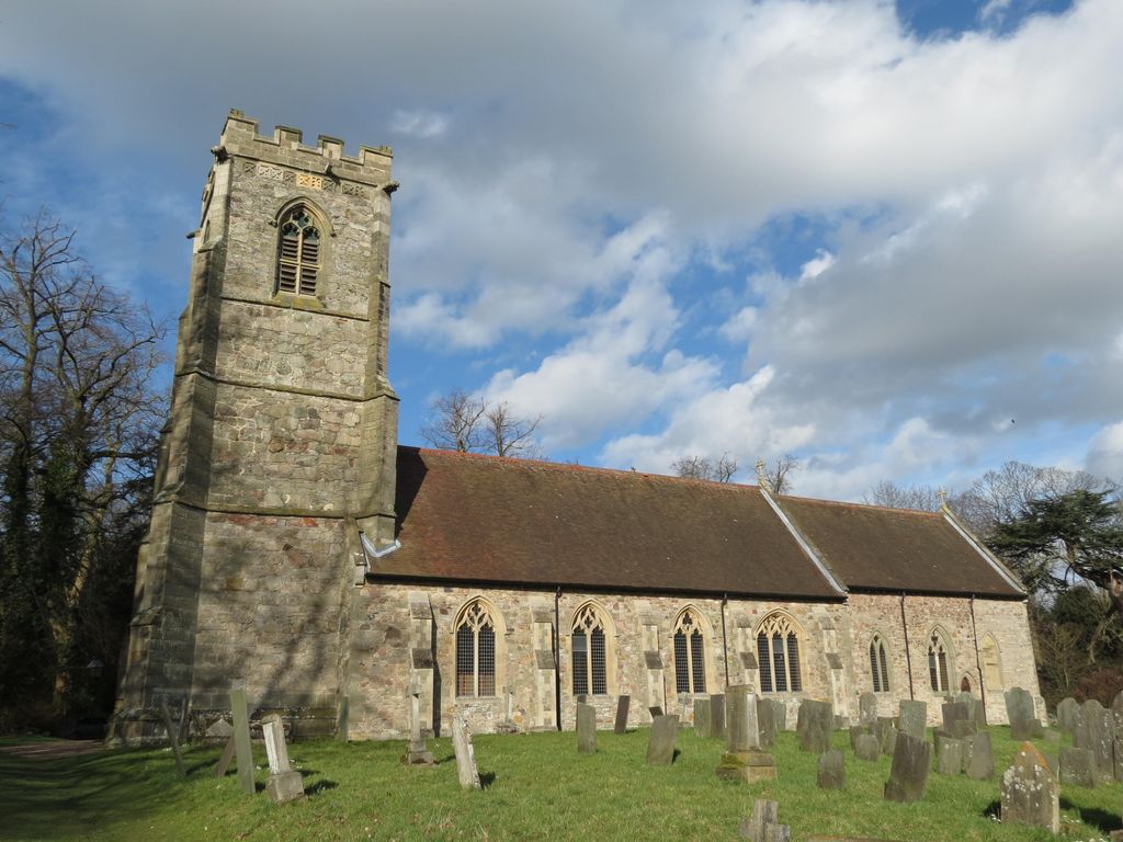
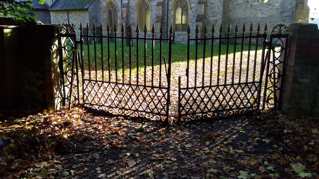
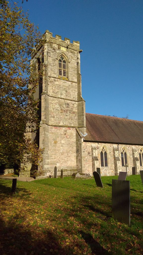
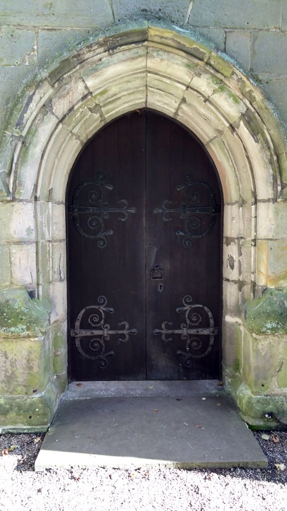
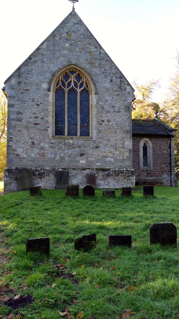
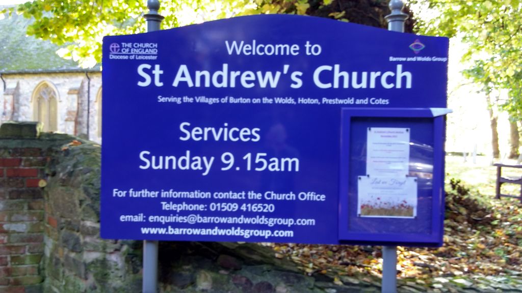
| Description | : | St. Andrew's Church, Prestwold, Leicestershire, LE12 5SH. Medieval parish church largely rebuilt in 1890. Late C14 buttressed west tower with 4 principal stages, with corbel heads to hoodmould, decorated frieze below embattled parapet. Nave of 4 bays, all of 1890. Chancel retains much medieval masonry. The Church is of interest for being almost the sole reminder of the medieval village of Prestwold. Interior very plain and all of 1890 but there is a fine collection of memorials of the Packe family and their predecessors, in the Chancel, including two late C15 alabaster tomb chests with bedesmen and angels. One... Read More |
frequently asked questions (FAQ):
-
Where is St. Andrew's Churchyard?
St. Andrew's Churchyard is located at Prestwold, Charnwood Borough ,Leicestershire ,England.
-
St. Andrew's Churchyard cemetery's updated grave count on graveviews.com?
128 memorials
-
Where are the coordinates of the St. Andrew's Churchyard?
Latitude: 52.7875000
Longitude: -1.1446400
Nearby Cemetories:
1. Prestwold Natural Burial Ground
Loughborough, Charnwood Borough, England
Coordinate: 52.7779510, -1.1538520
2. Hoton Burial Ground
Hoton, Charnwood Borough, England
Coordinate: 52.7983472, -1.1500767
3. Burton-on-the-Wolds Burial Ground
Burton-on-the-Wolds, Charnwood Borough, England
Coordinate: 52.7864470, -1.1207120
4. St Mary Churchyard
Walton-on-the-Wolds, Charnwood Borough, England
Coordinate: 52.7712900, -1.1241310
5. Wymeswold Rempstone Road Cemetery
Wymeswold, Charnwood Borough, England
Coordinate: 52.8084600, -1.1180480
6. Barrow-Upon-Soar Cemetery
Barrow-upon-Soar, Charnwood Borough, England
Coordinate: 52.7620220, -1.1585640
7. All Saints Churchyard
Rempstone, Rushcliffe Borough, England
Coordinate: 52.8149800, -1.1477700
8. St. Marys Churchyard
Wymeswold, Charnwood Borough, England
Coordinate: 52.8055010, -1.1067320
9. Rempstone Anabaptist Burial Ground
Rempstone, Rushcliffe Borough, England
Coordinate: 52.8179800, -1.1426400
10. Rempstone, St Peter in the Rushes
Rempstone, Rushcliffe Borough, England
Coordinate: 52.8191600, -1.1614400
11. Holy Trinity Churchyard
Barrow-upon-Soar, Charnwood Borough, England
Coordinate: 52.7526930, -1.1470900
12. All Saints with Holy Trinity Churchyard
Loughborough, Charnwood Borough, England
Coordinate: 52.7743880, -1.2035500
13. Loughborough Cemetery
Loughborough, Charnwood Borough, England
Coordinate: 52.7599400, -1.1951700
14. Loughborough Crematorium
Loughborough, Charnwood Borough, England
Coordinate: 52.7575650, -1.1965200
15. Emmanuel Churchyard
Loughborough, Charnwood Borough, England
Coordinate: 52.7668830, -1.2108020
16. St Giles Churchyard
Costock, Rushcliffe Borough, England
Coordinate: 52.8326300, -1.1489100
17. St Bartholomews Parish Churchyard
Quorn, Charnwood Borough, England
Coordinate: 52.7440274, -1.1703330
18. Seagrave Swan Street Cemetery
Seagrave, Charnwood Borough, England
Coordinate: 52.7520370, -1.0883200
19. Mountsorrel Cemetery
Mountsorrel, Charnwood Borough, England
Coordinate: 52.7378380, -1.1547880
20. Quorn Baptist Churchyard
Quorn, Charnwood Borough, England
Coordinate: 52.7407600, -1.1753200
21. All Saints Churchyard
Seagrave, Charnwood Borough, England
Coordinate: 52.7525110, -1.0829090
22. Holy Trinity Churchyard
Wysall, Rushcliffe Borough, England
Coordinate: 52.8383300, -1.1044200
23. All Saints Churchyard
Thorpe Acre, Charnwood Borough, England
Coordinate: 52.7750466, -1.2361551
24. St. Peter's Churchyard
Mountsorrel, Charnwood Borough, England
Coordinate: 52.7304450, -1.1408620