
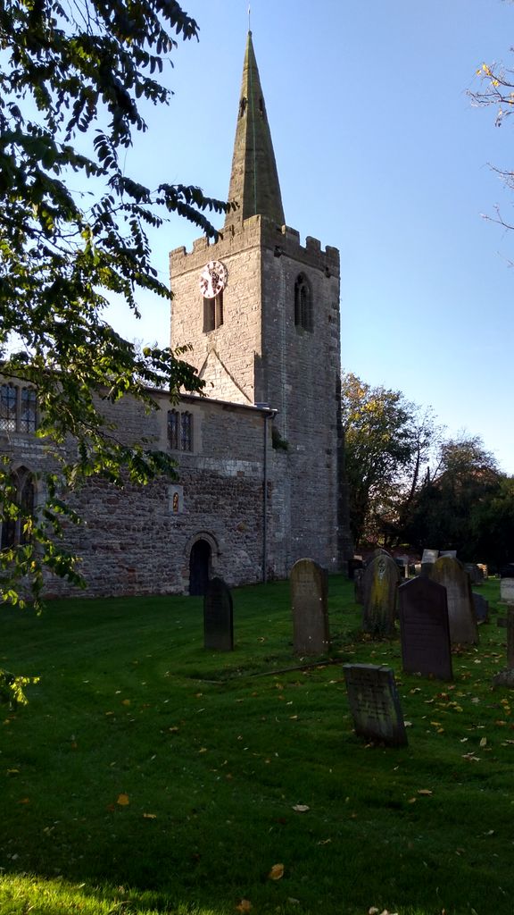
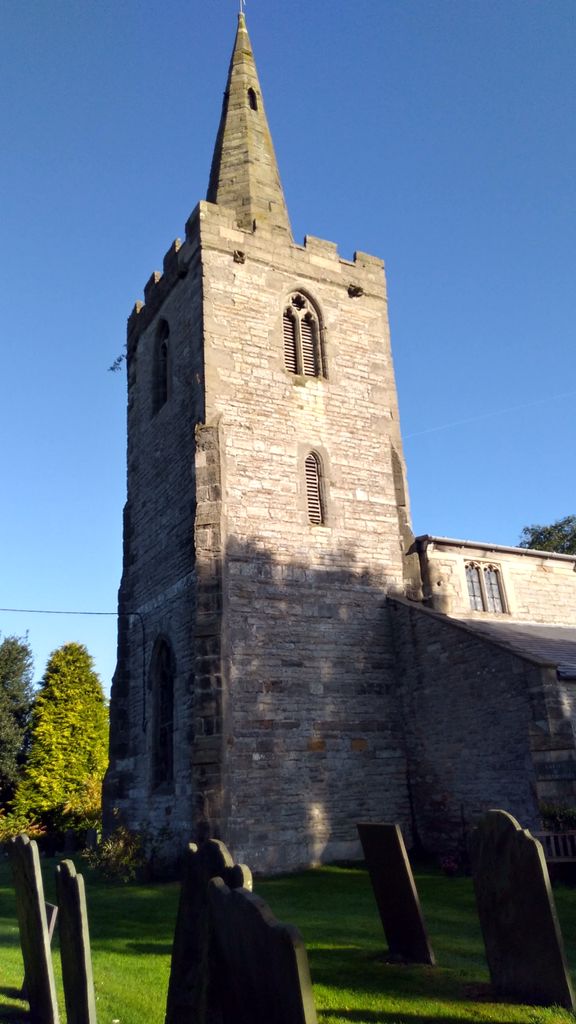
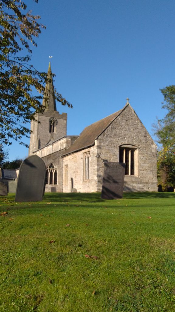
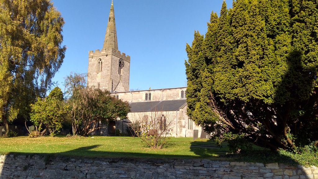
| Memorials | : | 0 |
| Location | : | Wysall, Rushcliffe Borough, England |
| Coordinate | : | 52.8383300, -1.1044200 |
frequently asked questions (FAQ):
-
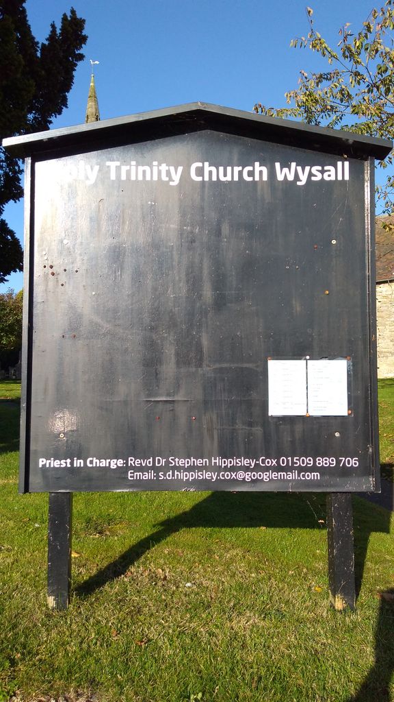
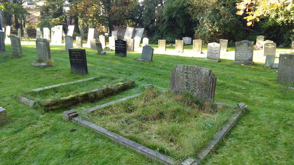
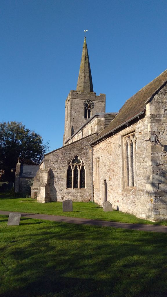
Where is Holy Trinity Churchyard?
Holy Trinity Churchyard is located at Wysall, Rushcliffe Borough ,Nottinghamshire ,England.
-
Holy Trinity Churchyard cemetery's updated grave count on graveviews.com?
0 memorials
-
Where are the coordinates of the Holy Trinity Churchyard?
Latitude: 52.8383300
Longitude: -1.1044200
Nearby Cemetories:
1. St Peter Churchyard
Widmerpool, Rushcliffe Borough, England
Coordinate: 52.8476890, -1.0679480
2. St Giles Churchyard
Costock, Rushcliffe Borough, England
Coordinate: 52.8326300, -1.1489100
3. St Mary the Virgin Churchyard
Bunny, Rushcliffe Borough, England
Coordinate: 52.8606758, -1.1354220
4. Church of St Mary and All Saints
Willoughby-on-the-Wolds, Rushcliffe Borough, England
Coordinate: 52.8227780, -1.0608330
5. Rempstone Anabaptist Burial Ground
Rempstone, Rushcliffe Borough, England
Coordinate: 52.8179800, -1.1426400
6. Wymeswold Rempstone Road Cemetery
Wymeswold, Charnwood Borough, England
Coordinate: 52.8084600, -1.1180480
7. St. Marys Churchyard
Wymeswold, Charnwood Borough, England
Coordinate: 52.8055010, -1.1067320
8. All Saints Churchyard
Rempstone, Rushcliffe Borough, England
Coordinate: 52.8149800, -1.1477700
9. Rempstone, St Peter in the Rushes
Rempstone, Rushcliffe Borough, England
Coordinate: 52.8191600, -1.1614400
10. All Saints Churchyard
Stanton-on-the-Wolds, Rushcliffe Borough, England
Coordinate: 52.8693400, -1.0624900
11. Hoton Burial Ground
Hoton, Charnwood Borough, England
Coordinate: 52.7983472, -1.1500767
12. Burton-on-the-Wolds Burial Ground
Burton-on-the-Wolds, Charnwood Borough, England
Coordinate: 52.7864470, -1.1207120
13. St. Mary The Virgin Churchyard
Plumtree, Rushcliffe Borough, England
Coordinate: 52.8918690, -1.0874320
14. Flawford St Peter
Ruddington, Rushcliffe Borough, England
Coordinate: 52.8934800, -1.1201300
15. St. Andrew's Churchyard
Prestwold, Charnwood Borough, England
Coordinate: 52.7875000, -1.1446400
16. Ruddington Old Cemetery
Ruddington, Rushcliffe Borough, England
Coordinate: 52.8914500, -1.1531400
17. St. Peter's Churchyard
Ruddington, Rushcliffe Borough, England
Coordinate: 52.8925940, -1.1506460
18. St Peter New Churchyard
Ruddington, Rushcliffe Borough, England
Coordinate: 52.8914800, -1.1549600
19. Prestwold Natural Burial Ground
Loughborough, Charnwood Borough, England
Coordinate: 52.7779510, -1.1538520
20. St Mary Churchyard
Walton-on-the-Wolds, Charnwood Borough, England
Coordinate: 52.7712900, -1.1241310
21. St Helena Churchyard
West Leake, Rushcliffe Borough, England
Coordinate: 52.8330920, -1.2171267
22. Old Dalby Main Road Cemetery
Old Dalby, Melton Borough, England
Coordinate: 52.8084650, -1.0007670
23. St John the Baptist Churchyard
Old Dalby, Melton Borough, England
Coordinate: 52.8053510, -1.0017970
24. Edwalton Holy Rood Churchyard
West Bridgford, Rushcliffe Borough, England
Coordinate: 52.9093000, -1.1114170