
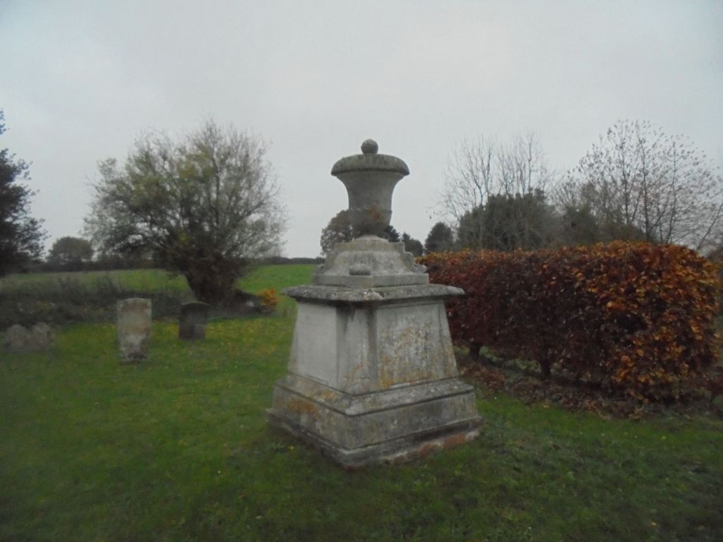
| Memorials | : | 20 |
| Location | : | Saxthorpe, North Norfolk District, England |
| Coordinate | : | 52.8299250, 1.1398600 |
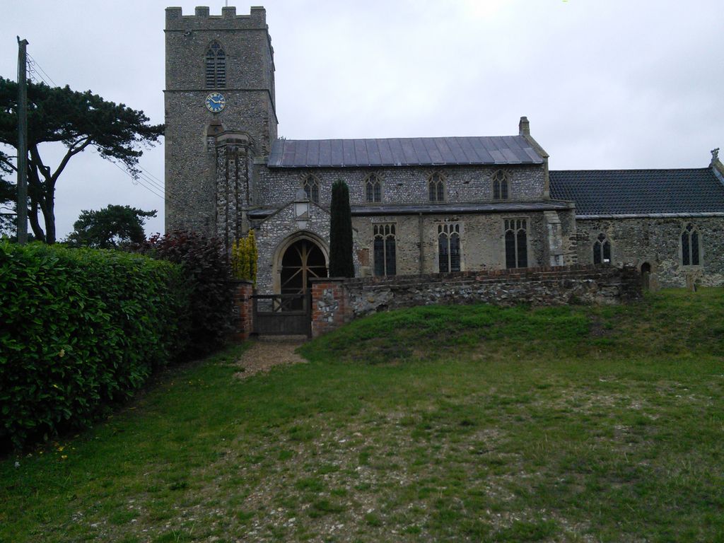
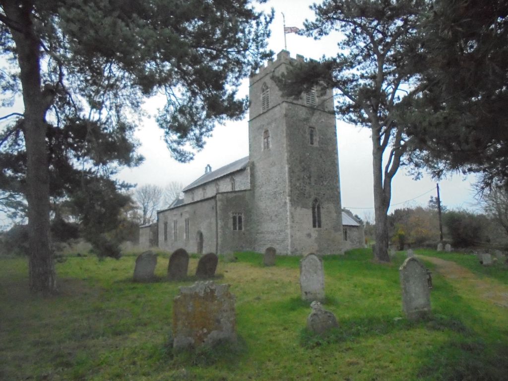
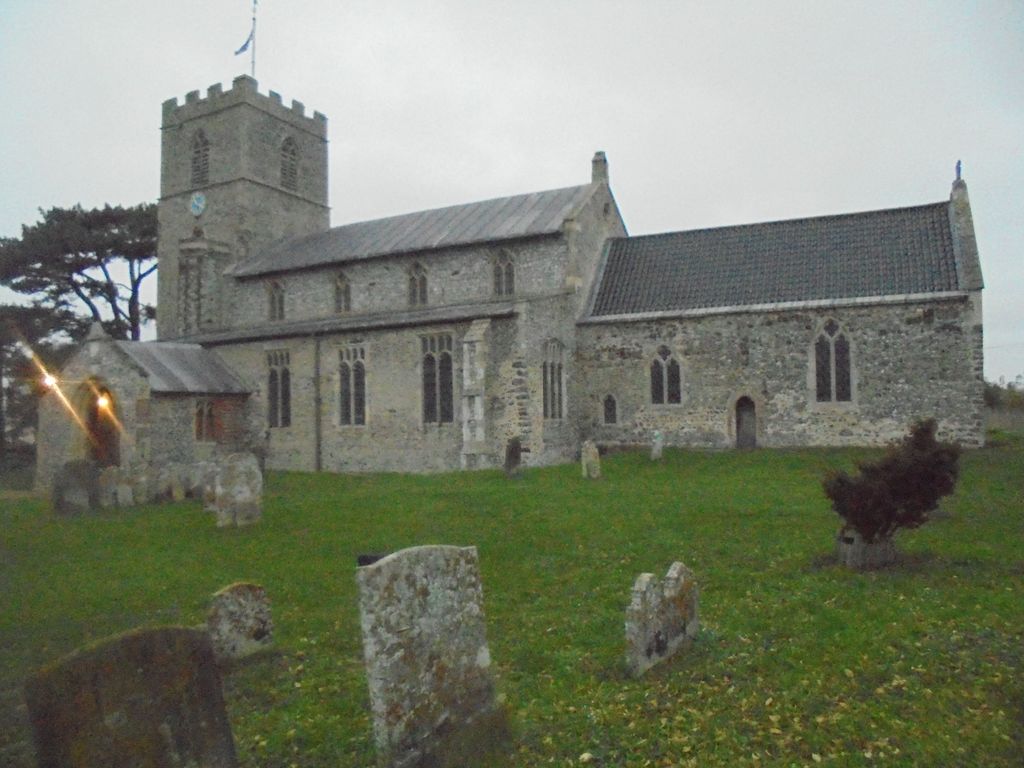
| Description | : | Location. Saxthorpe is a village within the civil parish of Corpusty in the English county of Norfolk. The village is 12 miles (19 km) west south west of Cromer, 16.3 miles (26.2 km) north north west of Norwich and 131 miles (211 km) north east of London. Historic information. Saxthorpe has an entry in the Domesday Book of 1085. In the great book Saxthorpe is recorded by the name "Sastorp," “Saxiorp” and “Saxthorp” it is said to be in the ownership of the King and in the custardy of Godric, Count Alan and Ribralt from him. The Parish Church of Saint Andrew is constructed... Read More |
frequently asked questions (FAQ):
-
Where is St. Andrew's Churchyard?
St. Andrew's Churchyard is located at The Street Saxthorpe, North Norfolk District ,Norfolk , NR11 7DGEngland.
-
St. Andrew's Churchyard cemetery's updated grave count on graveviews.com?
20 memorials
-
Where are the coordinates of the St. Andrew's Churchyard?
Latitude: 52.8299250
Longitude: 1.1398600
Nearby Cemetories:
1. St. Peter's Churchyard
Corpusty, North Norfolk District, England
Coordinate: 52.8207280, 1.1371910
2. St. Peter & St. Paul's Churchyard
Oulton, Broadland District, England
Coordinate: 52.8114317, 1.1685485
3. St Mary Churchyard
Itteringham, North Norfolk District, England
Coordinate: 52.8334650, 1.1826370
4. St Mary's Church
Mannington, North Norfolk District, England
Coordinate: 52.8418580, 1.1786460
5. St. Peter and St. Paul's Churchyard
Heydon, Broadland District, England
Coordinate: 52.8027280, 1.1345020
6. St. Andrew’s Churchyard
Little Barningham, North Norfolk District, England
Coordinate: 52.8547270, 1.1795150
7. St. Andrew's Churchyard
Wood Dalling, Broadland District, England
Coordinate: 52.8001170, 1.0985350
8. St. Peter and St. Paul's Churchyard
Edgefield, North Norfolk District, England
Coordinate: 52.8645320, 1.1089840
9. St. Michael's Churchyard
Plumstead, North Norfolk District, England
Coordinate: 52.8691700, 1.1669320
10. Edgefield Old Churchyard
Edgefield, North Norfolk District, England
Coordinate: 52.8687300, 1.1001800
11. St. Peter and St. Paul's Churchyard
Salle, Broadland District, England
Coordinate: 52.7802370, 1.1276420
12. St. Peter's Churchyard
Matlaske, North Norfolk District, England
Coordinate: 52.8683511, 1.1946365
13. All Saints Churchyard
Briston, North Norfolk District, England
Coordinate: 52.8511120, 1.0617870
14. St. Mary's Churchyard
Barningham, North Norfolk District, England
Coordinate: 52.8757410, 1.1882470
15. St Peter
Guestwick, Broadland District, England
Coordinate: 52.8014270, 1.0565010
16. Saint Mary's Churchyard
Baconsthorpe, North Norfolk District, England
Coordinate: 52.8872500, 1.1606900
17. Blickling Hall
Blickling, Broadland District, England
Coordinate: 52.8095474, 1.2310860
18. St Andrew Churchyard
Blickling, Broadland District, England
Coordinate: 52.8095370, 1.2311760
19. Silvergate Lane Cemetery
Blickling, Broadland District, England
Coordinate: 52.8075334, 1.2305140
20. Our Lady and St. Margaret's Churchyard
Calthorpe, North Norfolk District, England
Coordinate: 52.8391540, 1.2373828
21. All Saints Churchyard
Hempstead, North Norfolk District, England
Coordinate: 52.8895200, 1.1274620
22. St Andrew Churchyard
Hempstead, North Norfolk District, England
Coordinate: 52.8895750, 1.1270070
23. St. Agnes Churchyard
Cawston, Broadland District, England
Coordinate: 52.7702040, 1.1617360
24. Cawston Cemetery
Cawston, Broadland District, England
Coordinate: 52.7695320, 1.1666930