
| Memorials | : | 0 |
| Location | : | Stapleford, South Cambridgeshire District, England |
| Coordinate | : | 52.1475840, 0.1483810 |
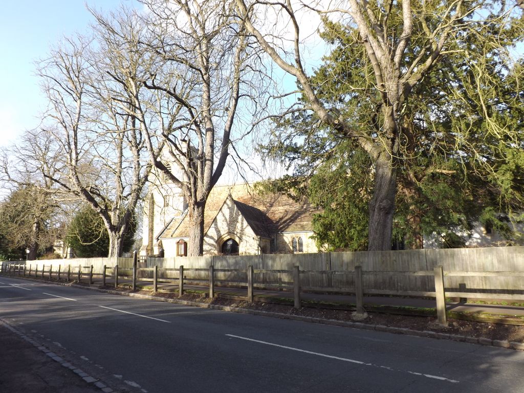
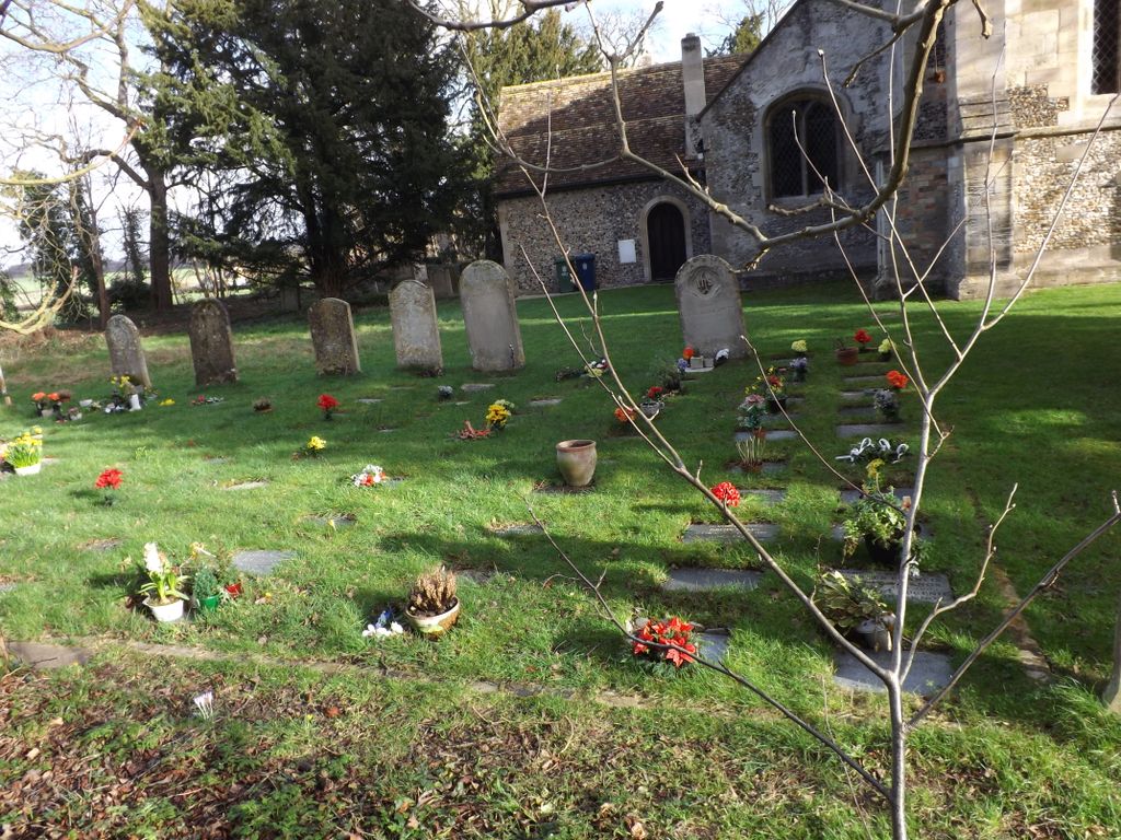
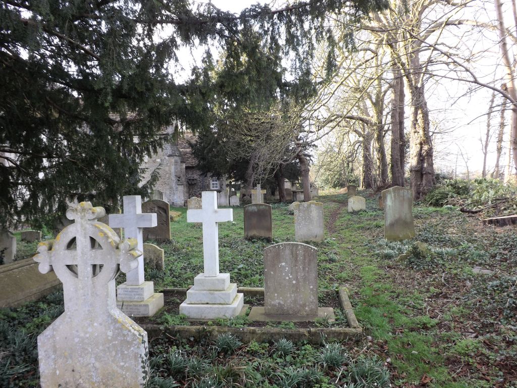
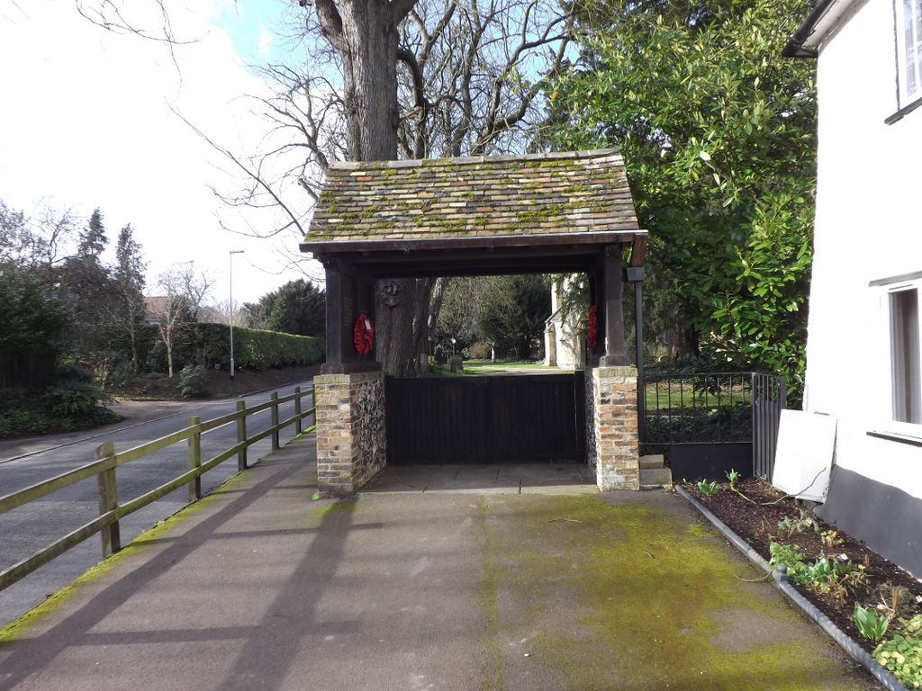
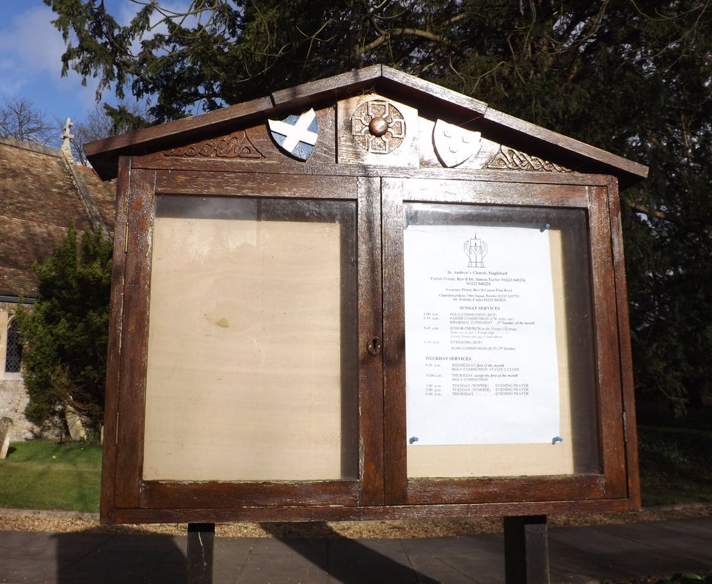
| Description | : | Stapleford is a village located approximately four miles to the south of Cambridge in eastern England on the right hand bank of the River Granta. Stapleford is first mentioned in 956 when it was given the Latinised name of Stapelforda, formerly Stapleton. Unlike most parishes the spelling has hardly changed since then. The village found fame with the discovery that Barack Obama is a direct descendant of Thomas Blossom who grew up in the village towards the end of the 16th century before emigrating to the United States. |
frequently asked questions (FAQ):
-
Where is St. Andrew Churchyard?
St. Andrew Churchyard is located at Mingle Lane Stapleford, South Cambridgeshire District ,Cambridgeshire , CB22 5SYEngland.
-
St. Andrew Churchyard cemetery's updated grave count on graveviews.com?
0 memorials
-
Where are the coordinates of the St. Andrew Churchyard?
Latitude: 52.1475840
Longitude: 0.1483810
Nearby Cemetories:
1. Stapleford Cemetery
Stapleford, South Cambridgeshire District, England
Coordinate: 52.1444700, 0.1475710
2. St Mary the Virgin Churchyard
Great Shelford, South Cambridgeshire District, England
Coordinate: 52.1456900, 0.1304800
3. Great Shelford Cemetery
Great Shelford, South Cambridgeshire District, England
Coordinate: 52.1549230, 0.1283540
4. All Saints Churchyard
Little Shelford, South Cambridgeshire District, England
Coordinate: 52.1438200, 0.1223600
5. Sawston Cemetery
Sawston, South Cambridgeshire District, England
Coordinate: 52.1281361, 0.1649944
6. Wandlebury House
Cambridge, City of Cambridge, England
Coordinate: 52.1583710, 0.1826703
7. St Edmund Churchyard
Hauxton, South Cambridgeshire District, England
Coordinate: 52.1490100, 0.0972800
8. Trumpington Parish Extension
Trumpington, City of Cambridge, England
Coordinate: 52.1711100, 0.1129400
9. St Mary and St Michael Churchyard
Trumpington, City of Cambridge, England
Coordinate: 52.1738770, 0.1084820
10. St. Margaret Churchyard
Newton, South Cambridgeshire District, England
Coordinate: 52.1242580, 0.1005080
11. Harston Baptist Church
Harston, South Cambridgeshire District, England
Coordinate: 52.1417850, 0.0823550
12. St John the Baptist Church
Pampisford, South Cambridgeshire District, England
Coordinate: 52.1123000, 0.1858000
13. St. Andrew and St. Mary Churchyard
Grantchester, South Cambridgeshire District, England
Coordinate: 52.1787870, 0.0953110
14. Harston Burial Ground
Harston, South Cambridgeshire District, England
Coordinate: 52.1403600, 0.0723652
15. St Andrew Churchyard
Cherry Hinton, City of Cambridge, England
Coordinate: 52.1919170, 0.1779000
16. All Saints Churchyard
Harston, South Cambridgeshire District, England
Coordinate: 52.1388620, 0.0707670
17. St George Churchyard
Thriplow, South Cambridgeshire District, England
Coordinate: 52.1021560, 0.1040390
18. Duxford Cemetery
Duxford, South Cambridgeshire District, England
Coordinate: 52.0948400, 0.1569400
19. St John Church
Duxford, South Cambridgeshire District, England
Coordinate: 52.0943610, 0.1563080
20. Mill Road Cemetery
Cambridge, City of Cambridge, England
Coordinate: 52.2009520, 0.1351060
21. Fulbourn Cemetery
Fulbourn, South Cambridgeshire District, England
Coordinate: 52.1780300, 0.2223600
22. St Peter Churchyard
Duxford, South Cambridgeshire District, England
Coordinate: 52.0922760, 0.1596880
23. Fulbourn United Reformed Church
Fulbourn, South Cambridgeshire District, England
Coordinate: 52.1793500, 0.2232800
24. Peterhouse College
Cambridge, City of Cambridge, England
Coordinate: 52.2009000, 0.1184000