| Memorials | : | 160 |
| Location | : | Quideham, Breckland Borough, England |
| Coordinate | : | 52.4493470, 0.9835550 |
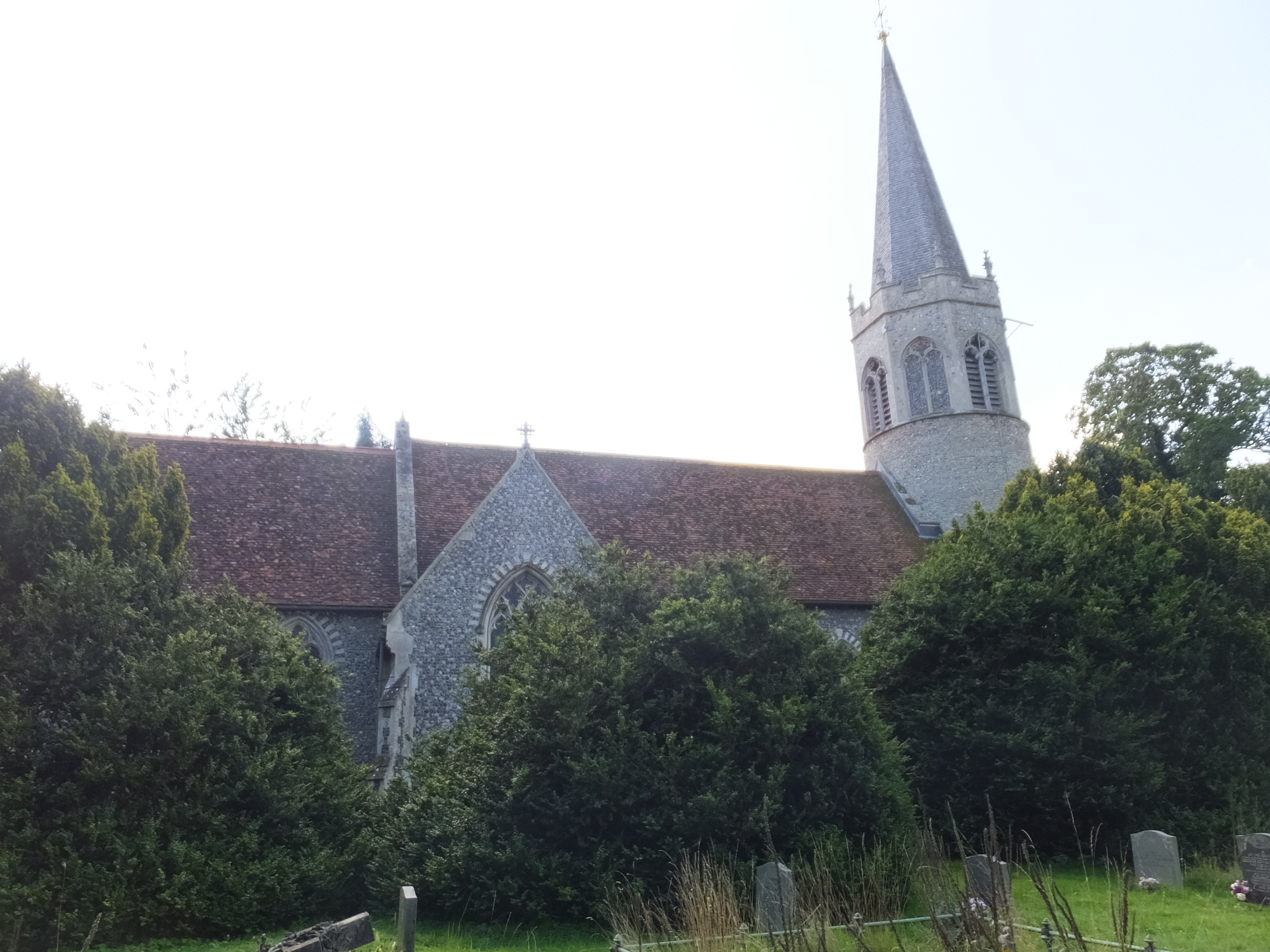
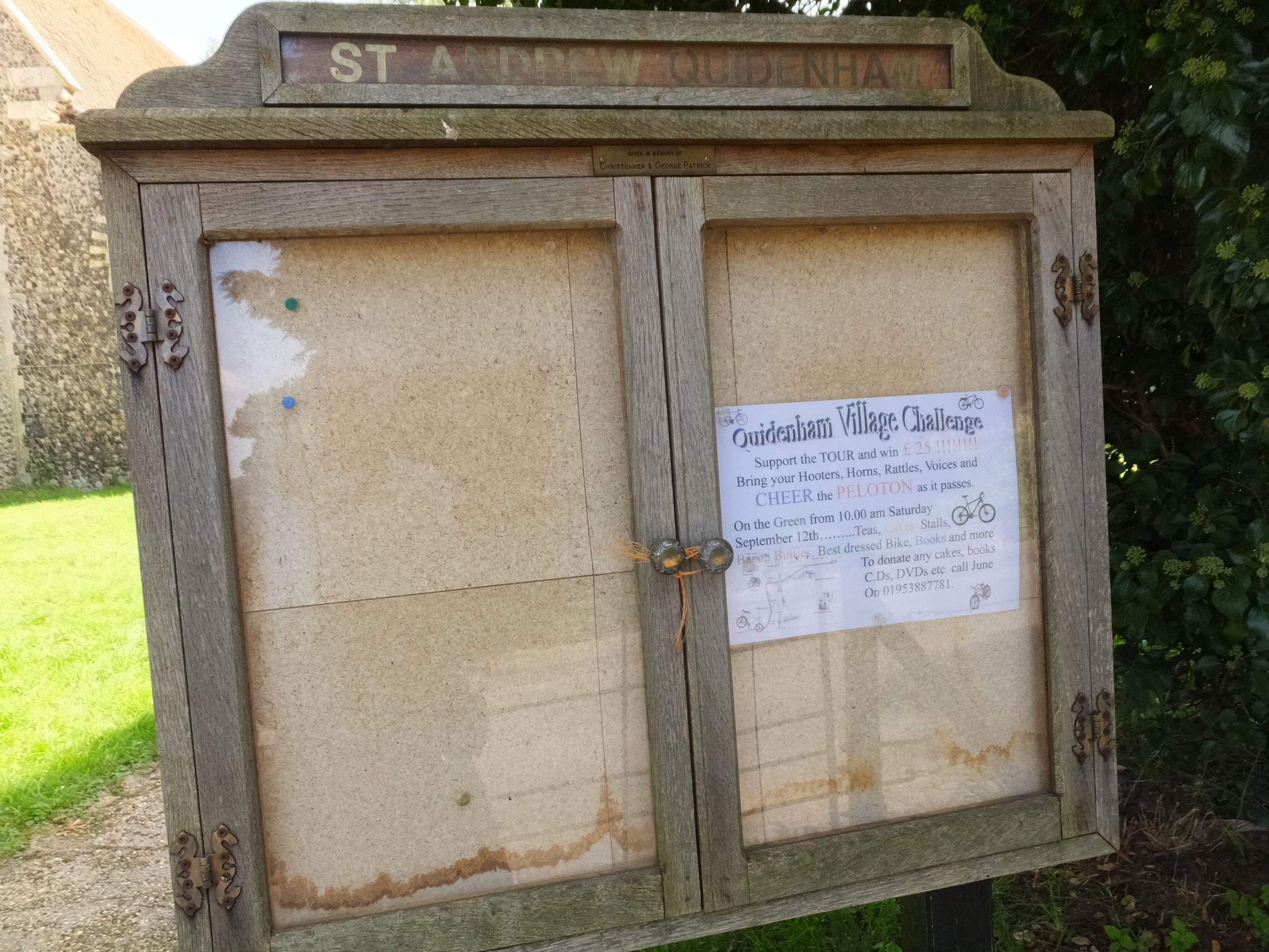
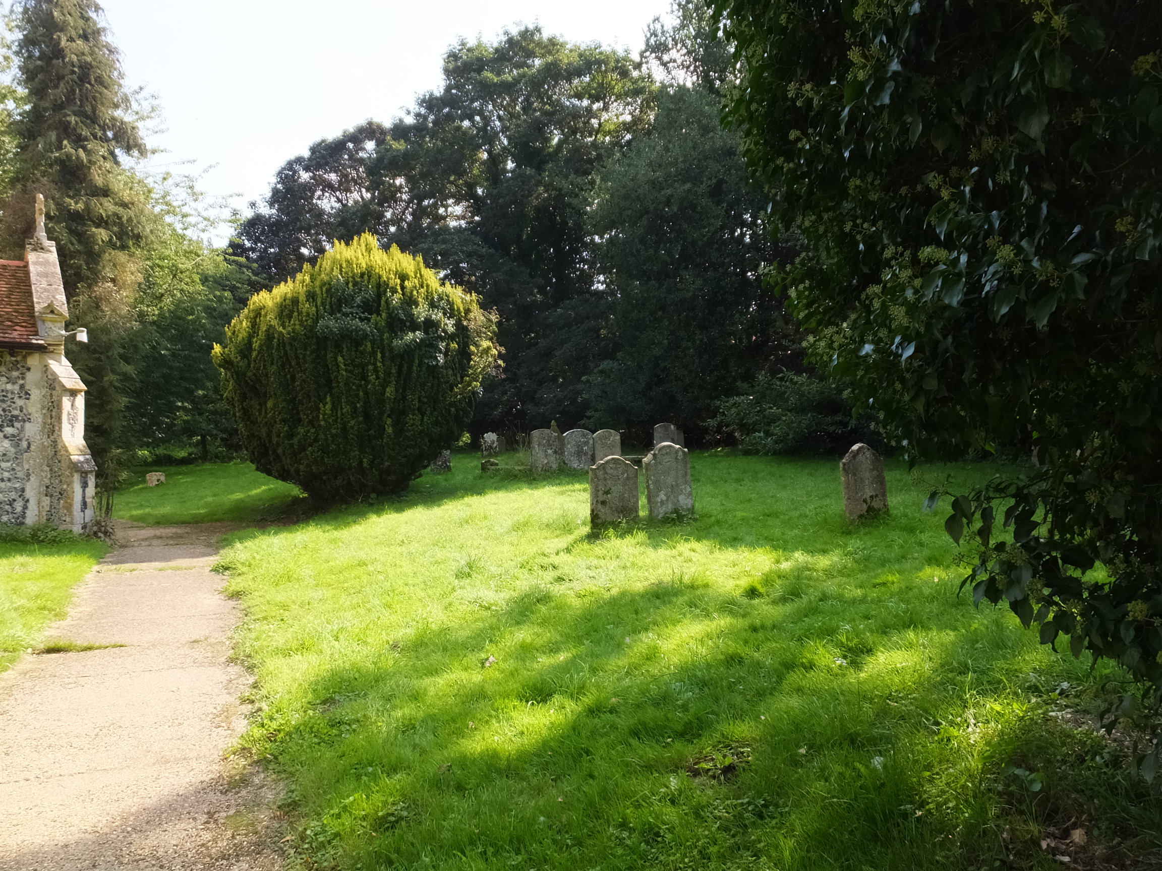
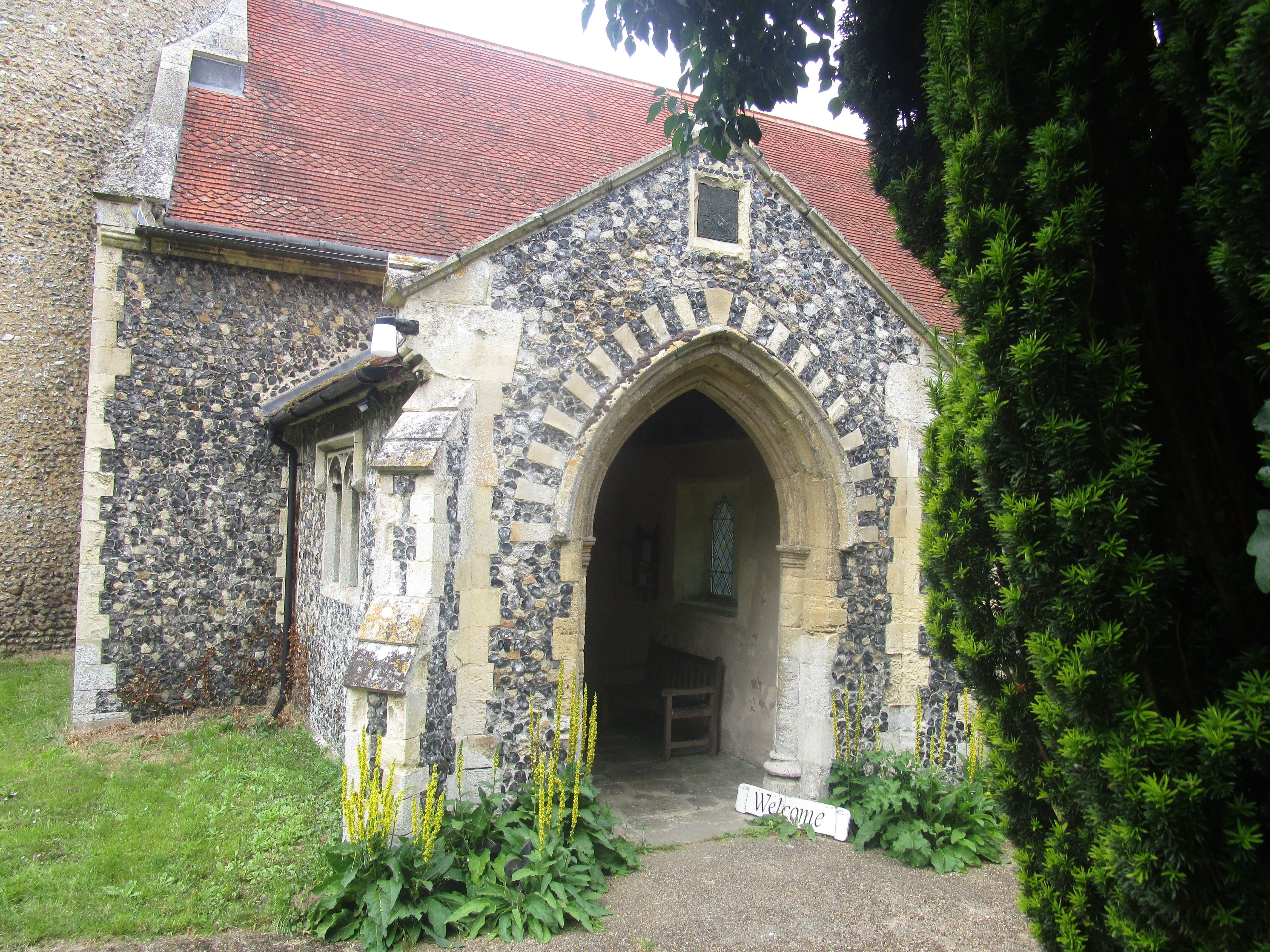
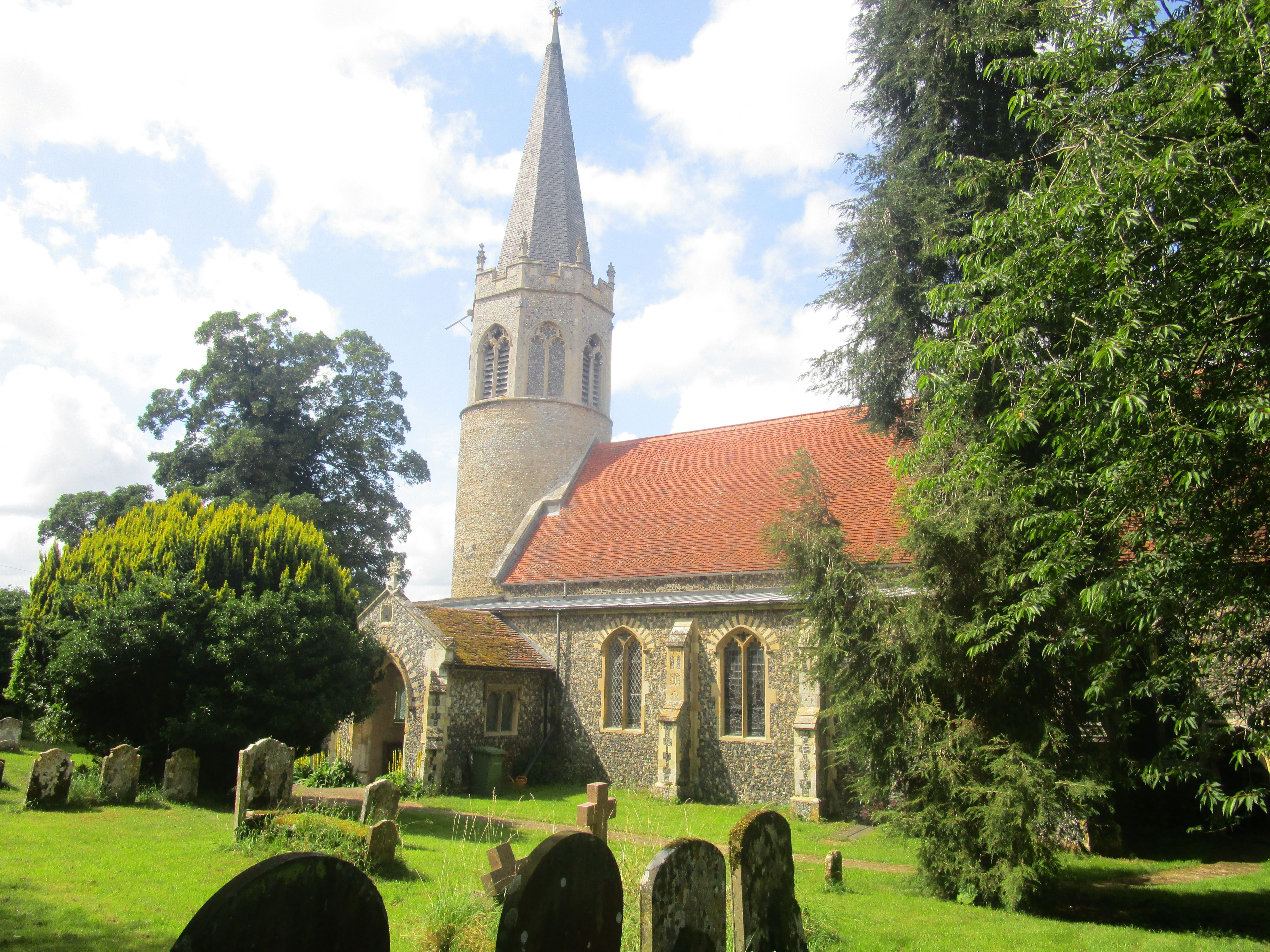
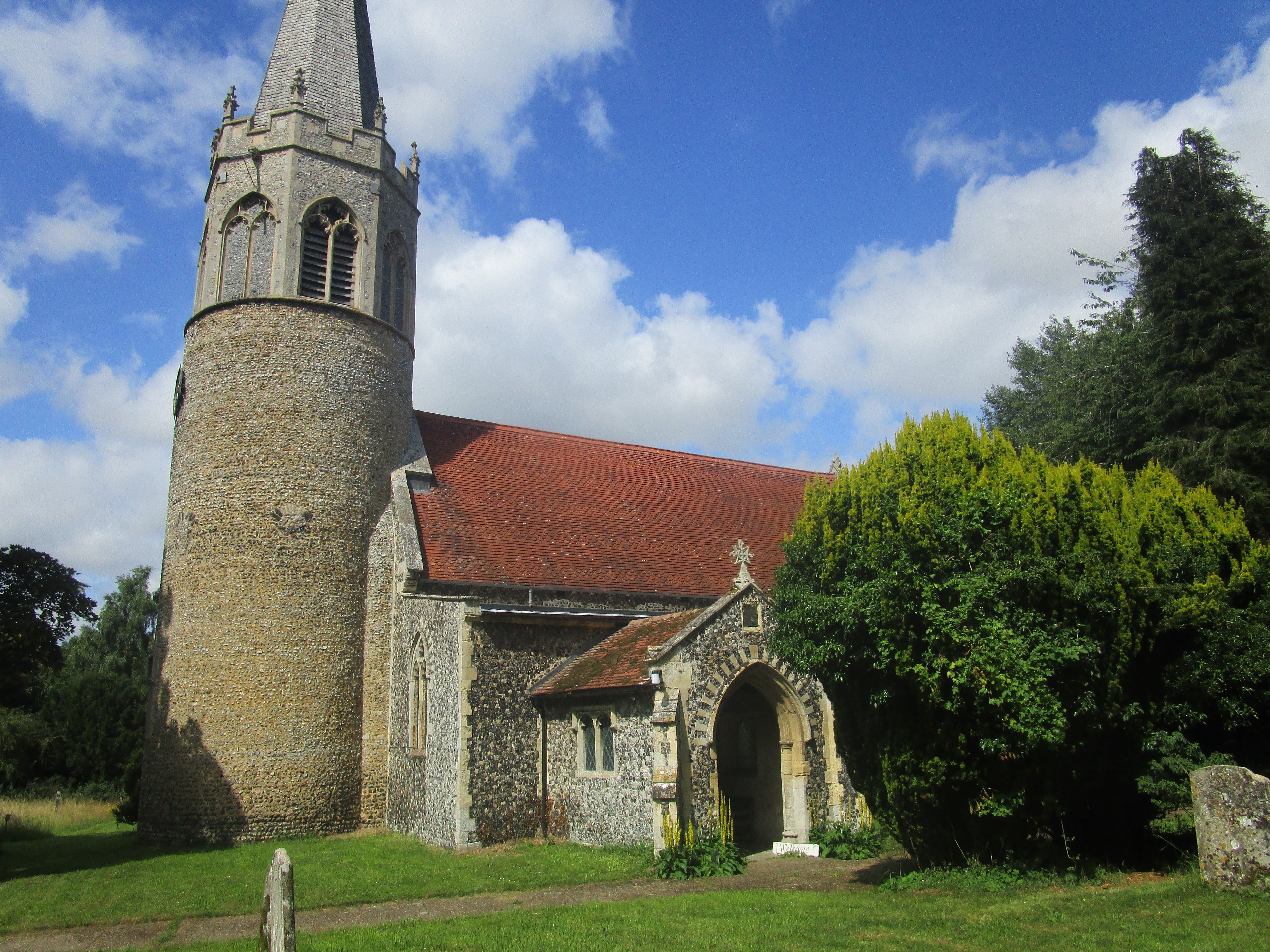
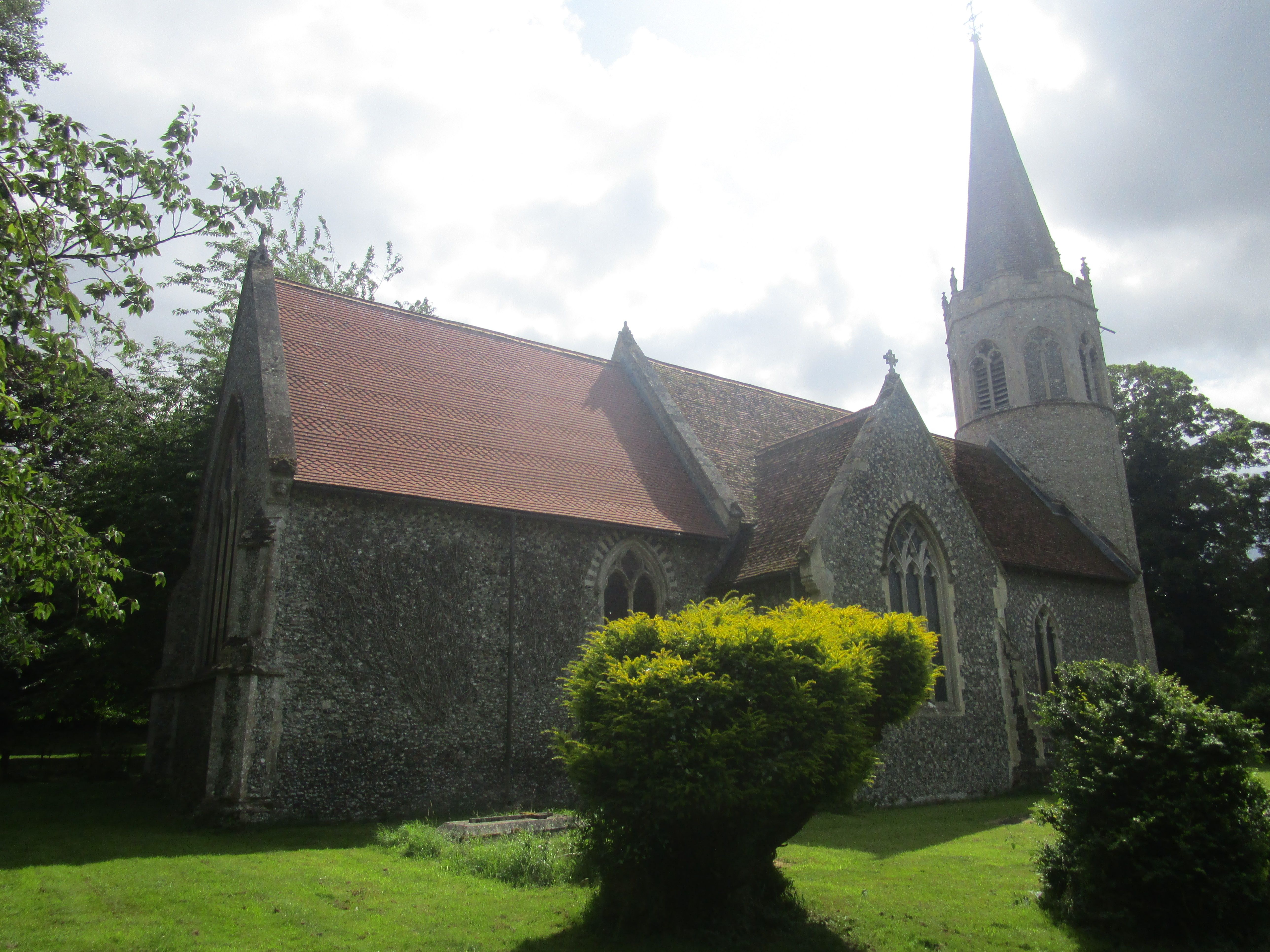
| Description | : | Quidenham it is situated 10 miles (16 km) north-east of the town of Thetford and 24 miles (39 km) south-west of the city of Norwich.There is a local tradition that Queen Boadicea is buried in Quidenham. Quidenham Hall, the former seat of the Earls of Albemarle, is now a Carmelite nunnery and hospice for children. The church of Quidenham St Andrew is one of 124 existing round-tower churches in Norfolk. |
frequently asked questions (FAQ):
-
Where is St Andrews Churchyard?
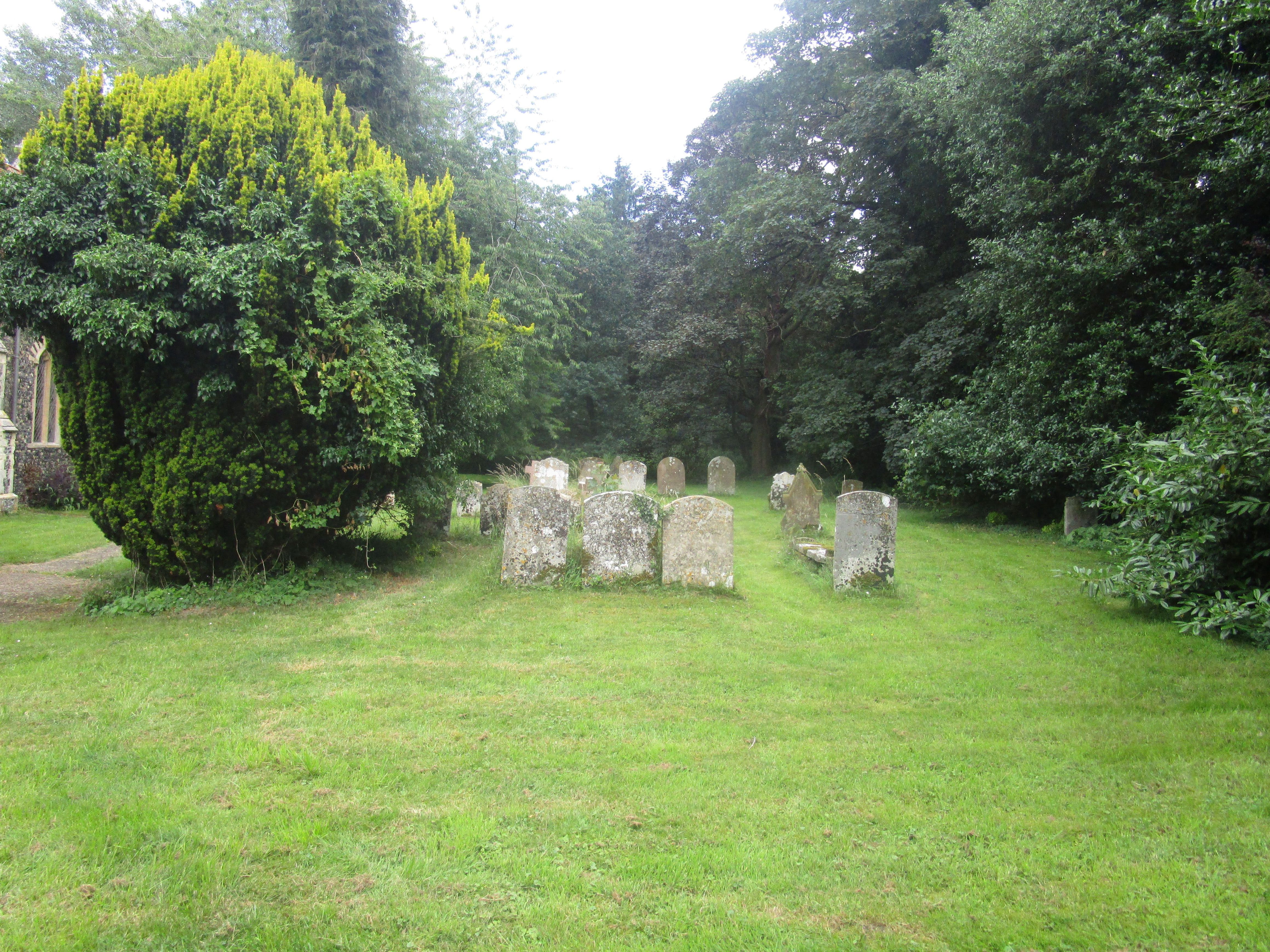
St Andrews Churchyard is located at Quidenham Road Quideham, Breckland Borough ,Norfolk , NR16 2PJEngland.
-
St Andrews Churchyard cemetery's updated grave count on graveviews.com?
148 memorials
-
Where are the coordinates of the St Andrews Churchyard?
Latitude: 52.4493470
Longitude: 0.9835550
Nearby Cemetories:
1. Carmelite Monastery Cemetery
Quideham, Breckland Borough, England
Coordinate: 52.4498000, 0.9894000
2. The Chapel Graveyard
Kenninghall, Breckland Borough, England
Coordinate: 52.4359530, 0.9961130
3. St. Mary the Virgin Churchyard
Eccles, Breckland Borough, England
Coordinate: 52.4649373, 0.9707904
4. Saint Mary Churchyard
Kenninghall, Breckland Borough, England
Coordinate: 52.4336980, 1.0010730
5. St Mary's Churchyard Extension
Banham, Breckland Borough, England
Coordinate: 52.4549400, 1.0274400
6. Theddingworth Congregational Church yard
Theddingworth, Harborough District, England
Coordinate: 52.4644400, 1.0211700
7. St. Mary the Virgin Churchyard
Banham, Breckland Borough, England
Coordinate: 52.4529230, 1.0353120
8. East Harling Cemetery
East Harling, Breckland Borough, England
Coordinate: 52.4336498, 0.9346589
9. St Peter & St Paul Church
Norwich, City of Norwich, England
Coordinate: 52.4408990, 0.9299175
10. All Saints Churchyard Hargham
Quideham, Breckland Borough, England
Coordinate: 52.4826470, 0.9732300
11. St Peter and St Paul Churchyard
East Harling, Breckland Borough, England
Coordinate: 52.4373860, 0.9304050
12. All Saints Churchyard
Snetterton, Breckland Borough, England
Coordinate: 52.4807600, 0.9350140
13. Methodist Churchyard
North Lopham, Breckland Borough, England
Coordinate: 52.4053630, 0.9920680
14. St. Ethelbert's Churchyard
Larling, Breckland Borough, England
Coordinate: 52.4696000, 0.9170350
15. St Nicholas Churchyard
North Lopham, Breckland Borough, England
Coordinate: 52.4029430, 0.9920510
16. All Saints Churchyard
Old Buckenham, Breckland Borough, England
Coordinate: 52.4816260, 1.0433160
17. St Andrew Churchyard
South Lopham, Breckland Borough, England
Coordinate: 52.3957830, 0.9969650
18. St Andrew Churchyard
Fersfield, South Norfolk District, England
Coordinate: 52.4043450, 1.0351310
19. Buckenham Priory
Buckenham, Broadland District, England
Coordinate: 52.4911000, 1.0497000
20. St. John The Baptist Churchyard
Garboldisham, Breckland Borough, England
Coordinate: 52.3961130, 0.9444950
21. St. Martin's Churchyard
New Buckenham, Breckland Borough, England
Coordinate: 52.4728860, 1.0728380
22. St. Peter & St. Paul Churchyard
Shropham, Breckland Borough, England
Coordinate: 52.4968770, 0.9217990
23. St Andrews Churchyard
Roudham, Breckland Borough, England
Coordinate: 52.4472050, 0.8768120
24. St. Mary The Virgin Churchyard
Bridgham, Breckland Borough, England
Coordinate: 52.4355480, 0.8783780

