| Memorials | : | 176 |
| Location | : | Banham, Breckland Borough, England |
| Coordinate | : | 52.4529230, 1.0353120 |
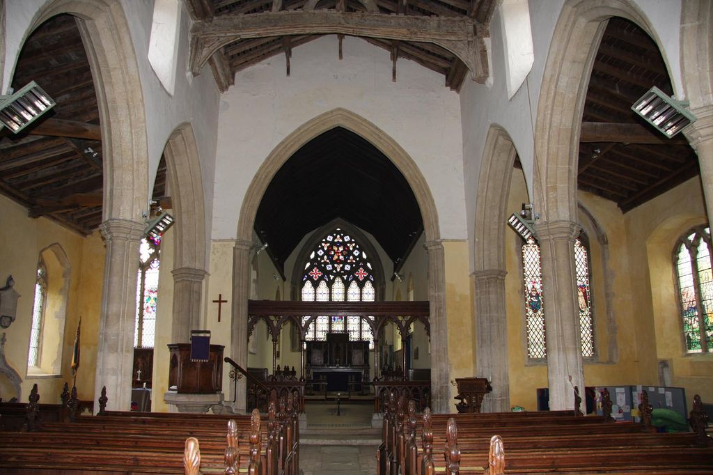
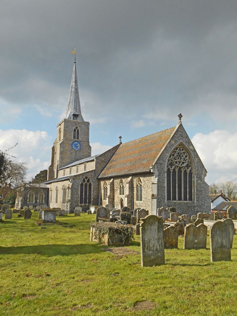
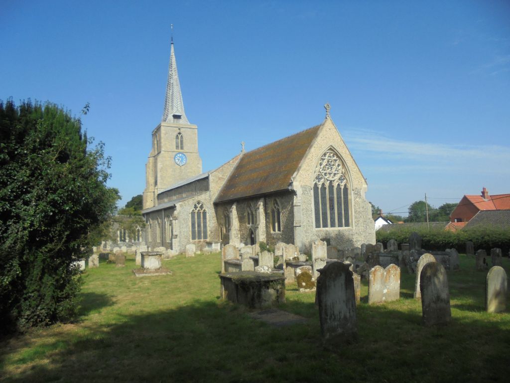
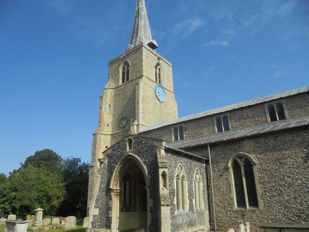
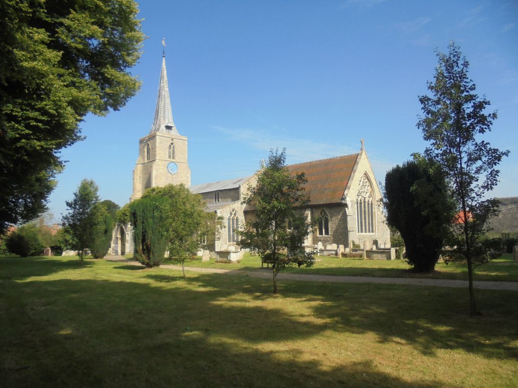
| Description | : | A fine grade 1 listed Norfolk church.The church structure was nearly all built during the first two thirds of the fourteenth century, during the reigns of the first three Kings Edward. During these years there were wars in Scotland and in France, constant fighting between barons at home and the devastation of the Black Death in 1349. The death of so many masons during this time is reflected in the church building in the gradual changing of styles and the time taken to complete the work. The basic material of the building is the natural flint of the area, and as... Read More |
frequently asked questions (FAQ):
-
Where is St. Mary the Virgin Churchyard?
St. Mary the Virgin Churchyard is located at The Village Green Banham, Breckland Borough ,Norfolk , NR16 2HNEngland.
-
St. Mary the Virgin Churchyard cemetery's updated grave count on graveviews.com?
176 memorials
-
Where are the coordinates of the St. Mary the Virgin Churchyard?
Latitude: 52.4529230
Longitude: 1.0353120
Nearby Cemetories:
1. St Mary's Churchyard Extension
Banham, Breckland Borough, England
Coordinate: 52.4549400, 1.0274400
2. Theddingworth Congregational Church yard
Theddingworth, Harborough District, England
Coordinate: 52.4644400, 1.0211700
3. Carmelite Monastery Cemetery
Quideham, Breckland Borough, England
Coordinate: 52.4498000, 0.9894000
4. Saint Mary Churchyard
Kenninghall, Breckland Borough, England
Coordinate: 52.4336980, 1.0010730
5. All Saints Churchyard
Old Buckenham, Breckland Borough, England
Coordinate: 52.4816260, 1.0433160
6. The Chapel Graveyard
Kenninghall, Breckland Borough, England
Coordinate: 52.4359530, 0.9961130
7. St. Martin's Churchyard
New Buckenham, Breckland Borough, England
Coordinate: 52.4728860, 1.0728380
8. St Andrews Churchyard
Quideham, Breckland Borough, England
Coordinate: 52.4493470, 0.9835550
9. Buckenham Priory
Buckenham, Broadland District, England
Coordinate: 52.4911000, 1.0497000
10. St. Mary the Virgin Churchyard
Eccles, Breckland Borough, England
Coordinate: 52.4649373, 0.9707904
11. All Saints Churchyard Hargham
Quideham, Breckland Borough, England
Coordinate: 52.4826470, 0.9732300
12. St Andrew Churchyard
Fersfield, South Norfolk District, England
Coordinate: 52.4043450, 1.0351310
13. Methodist Churchyard
North Lopham, Breckland Borough, England
Coordinate: 52.4053630, 0.9920680
14. St Nicholas Churchyard
North Lopham, Breckland Borough, England
Coordinate: 52.4029430, 0.9920510
15. All Saints Churchyard
Shelfanger, South Norfolk District, England
Coordinate: 52.4104780, 1.0969230
16. All Saints Churchyard
Carleton Rode, South Norfolk District, England
Coordinate: 52.4892230, 1.1133590
17. St Andrew Churchyard
South Lopham, Breckland Borough, England
Coordinate: 52.3957830, 0.9969650
18. East Harling Cemetery
East Harling, Breckland Borough, England
Coordinate: 52.4336498, 0.9346589
19. Parkside Garden
Attleborough, Breckland Borough, England
Coordinate: 52.5167420, 1.0209100
20. Carleton Rode Baptist Churchyard
Carleton Rode, South Norfolk District, England
Coordinate: 52.4937320, 1.1185210
21. St Peter & St Paul Church
Norwich, City of Norwich, England
Coordinate: 52.4408990, 0.9299175
22. St Peter and St Paul Churchyard
East Harling, Breckland Borough, England
Coordinate: 52.4373860, 0.9304050
23. Blessed Virgin Mary Churchyard
Attleborough, Breckland Borough, England
Coordinate: 52.5178950, 1.0181880
24. All Saints Churchyard
Besthorpe, Breckland Borough, England
Coordinate: 52.5192800, 1.0431370


