| Memorials | : | 0 |
| Location | : | Packwood, Warwick District, England |
| Coordinate | : | 52.3532360, -1.7519440 |
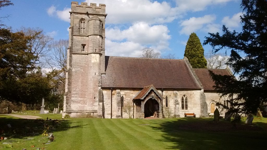
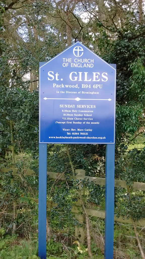
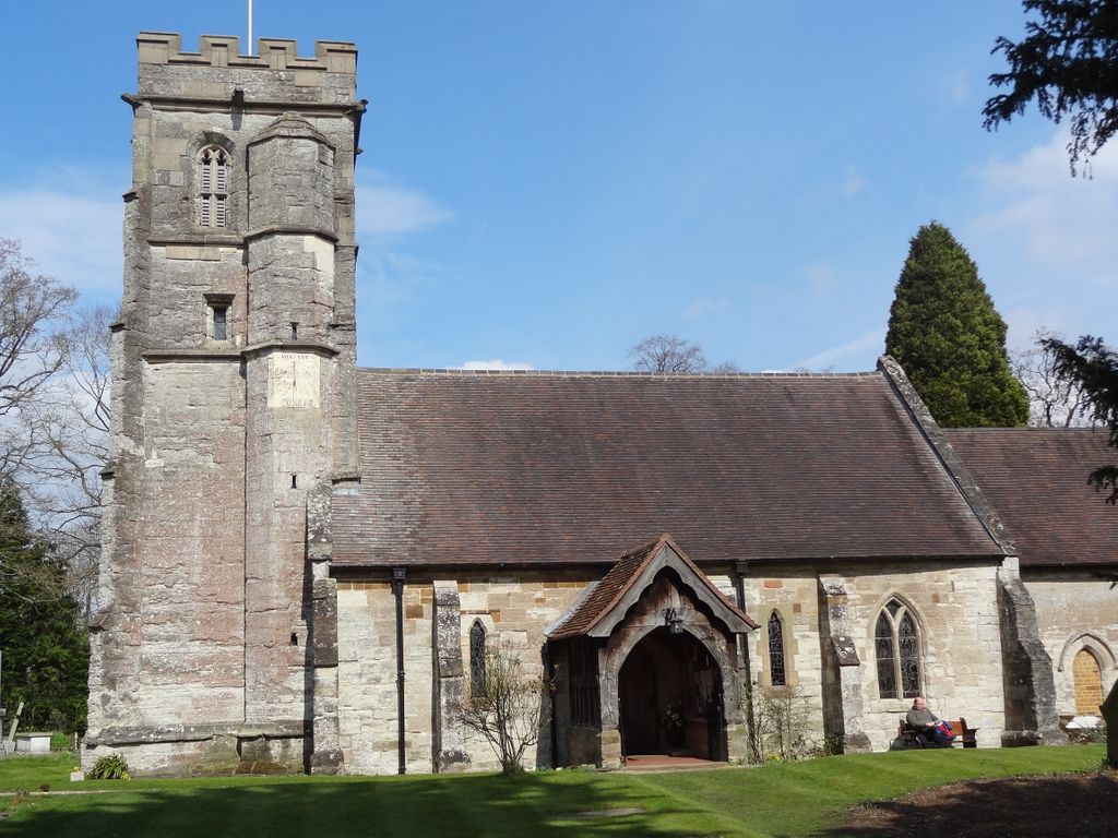
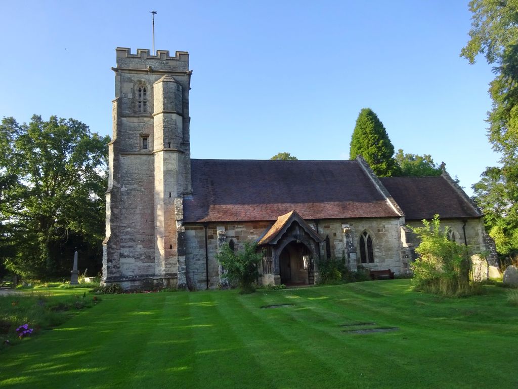
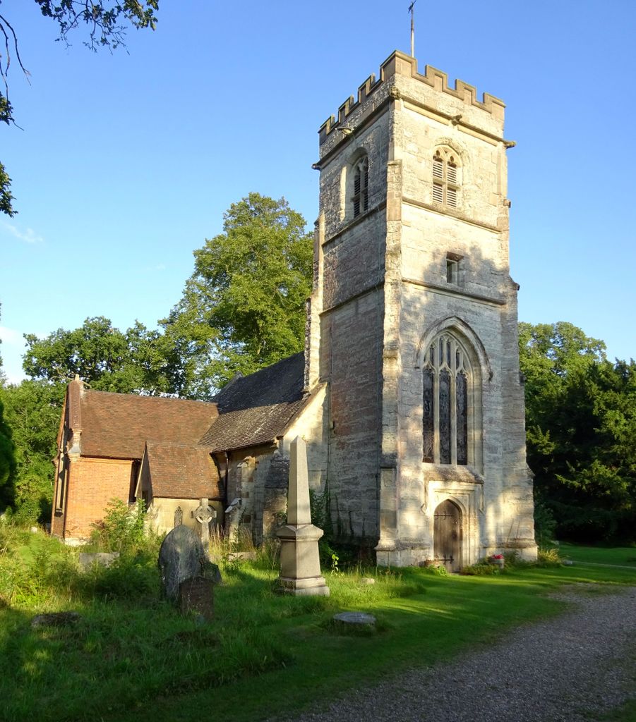
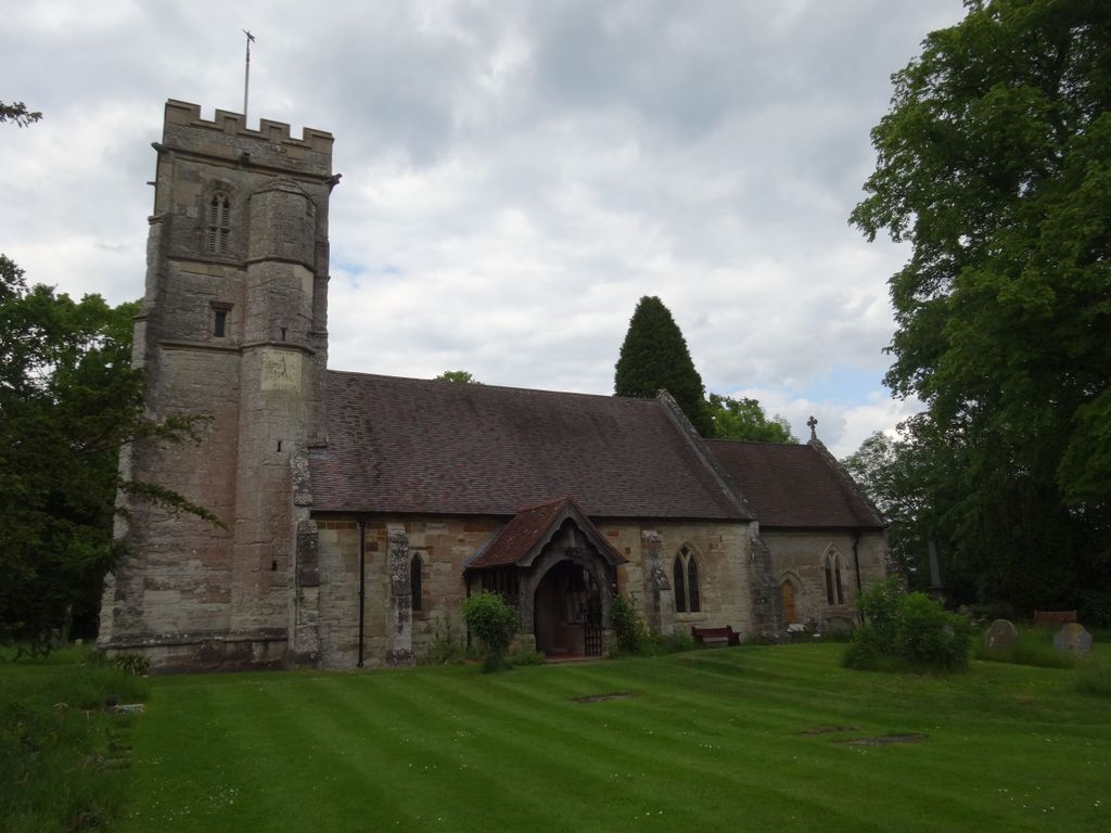
| Description | : | Glasshouse Lane, Packwood, Solihull B94 6PU, West Midlands. St. Giles Church, Packwood, lies to the east of Packwood House. |
frequently asked questions (FAQ):
-
Where is St. Giles Churchyard?
St. Giles Churchyard is located at Packwood, Warwick District ,Warwickshire ,England.
-
St. Giles Churchyard cemetery's updated grave count on graveviews.com?
0 memorials
-
Where are the coordinates of the St. Giles Churchyard?
Latitude: 52.3532360
Longitude: -1.7519440
Nearby Cemetories:
1. St. Mary the Virgin Churchyard
Lapworth, Warwick District, England
Coordinate: 52.3377620, -1.7619700
2. Umberslade Baptist Church
Hockley Heath, Metropolitan Borough of Solihull, England
Coordinate: 52.3468100, -1.7857310
3. St Michael Churchyard
Baddesley Clinton, Warwick District, England
Coordinate: 52.3399620, -1.7042510
4. St Francis of Assisi RC Churchyard
Baddesley Clinton, Warwick District, England
Coordinate: 52.3495140, -1.6962400
5. Widney Manor Cemetery
Bentley, North Warwickshire Borough, England
Coordinate: 52.3869000, -1.7631030
6. Knowle Parish Churchyard
Knowle, Metropolitan Borough of Solihull, England
Coordinate: 52.3884940, -1.7336000
7. Temple Balsall Cemetery
Temple Balsall, Metropolitan Borough of Solihull, England
Coordinate: 52.3806150, -1.7006640
8. St Mary the Virgin
Temple Balsall, Metropolitan Borough of Solihull, England
Coordinate: 52.3815700, -1.6973900
9. St. Laurence Cemetery
Rowington, Warwick District, England
Coordinate: 52.3211370, -1.7024200
10. St. Patrick's Cemetery
Solihull, Metropolitan Borough of Solihull, England
Coordinate: 52.3718820, -1.8213030
11. St. Patrick's Church
Tanworth-in-Arden, Stratford-on-Avon District, England
Coordinate: 52.3719300, -1.8214200
12. St Leonard's Churchyard
Wroxall, Warwick District, England
Coordinate: 52.3341850, -1.6757560
13. St Mary Magdalene Churchyard
Tanworth-in-Arden, Stratford-on-Avon District, England
Coordinate: 52.3325500, -1.8350020
14. St. Swithin Churchyard
Barston, Metropolitan Borough of Solihull, England
Coordinate: 52.4001800, -1.6967800
15. St. Alphege Churchyard
Solihull, Metropolitan Borough of Solihull, England
Coordinate: 52.4114020, -1.7759710
16. All Saints Churchyard
Preston Bagot, Stratford-on-Avon District, England
Coordinate: 52.2924100, -1.7454500
17. St Nicholas Churchyard
Beaudesert, Stratford-on-Avon District, England
Coordinate: 52.2922500, -1.7772600
18. Henley-in-Arden Baptist Churchyard
Henley-in-Arden, Stratford-on-Avon District, England
Coordinate: 52.2911080, -1.7803540
19. St Mary The Virgin Church
Ullenhall, Stratford-on-Avon District, England
Coordinate: 52.3030100, -1.8245100
20. St John Baptist Churchyard
Honiley, Warwick District, England
Coordinate: 52.3475810, -1.6421840
21. St James the Great Churchyard
Shirley, Metropolitan Borough of Solihull, England
Coordinate: 52.4072050, -1.8257760
22. St Mary Haseley
Haseley Knob, Warwick District, England
Coordinate: 52.3099770, -1.6577910
23. St Marys
Honiley, Warwick District, England
Coordinate: 52.3099290, -1.6578010
24. Holy Trinity Churchyard
Hatton, Warwick District, England
Coordinate: 52.3039830, -1.6554970

