
| Memorials | : | 0 |
| Location | : | Wales, Metropolitan Borough of Rotherham, England |
| Coordinate | : | 53.3365267, -1.2841334 |
frequently asked questions (FAQ):
-
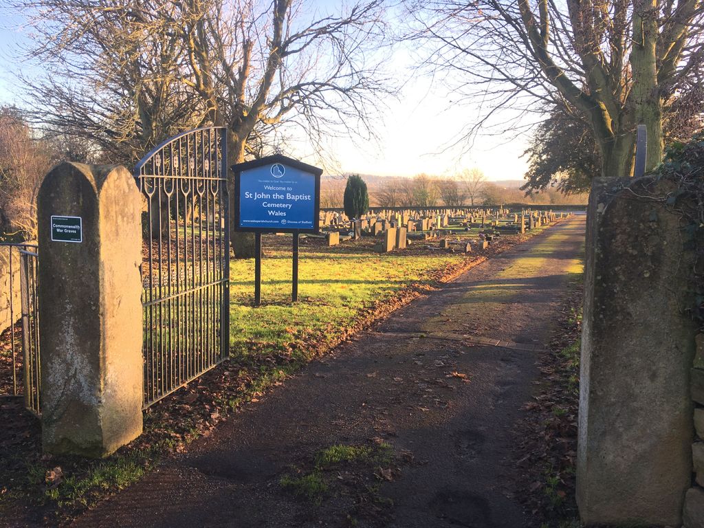
Where is St. John the Baptist Church Cemetery?
St. John the Baptist Church Cemetery is located at Wales, Metropolitan Borough of Rotherham ,South Yorkshire ,England.
-
St. John the Baptist Church Cemetery cemetery's updated grave count on graveviews.com?
0 memorials
-
Where are the coordinates of the St. John the Baptist Church Cemetery?
Latitude: 53.3365267
Longitude: -1.2841334
Nearby Cemetories:
1. St. John the Baptist Churchyard
Wales, Metropolitan Borough of Rotherham, England
Coordinate: 53.3389540, -1.2843530
2. St. John The Baptist Churchyard
Rotherham, Metropolitan Borough of Rotherham, England
Coordinate: 53.3391500, -1.2842450
3. All Hallows Churchyard
Harthill, Metropolitan Borough of Rotherham, England
Coordinate: 53.3232800, -1.2604170
4. Killamarsh Cemetery
Killamarsh, North East Derbyshire District, England
Coordinate: 53.3231700, -1.3081400
5. St. Giles Parish Church
Killamarsh, North East Derbyshire District, England
Coordinate: 53.3236200, -1.3092600
6. St. Peter and St. Paul's Churchyard
Todwick, Metropolitan Borough of Rotherham, England
Coordinate: 53.3514144, -1.2540578
7. All Saints Church
Sheffield, Metropolitan Borough of Sheffield, England
Coordinate: 53.3618734, -1.2981901
8. All Saints Churchyard
Aston, Metropolitan Borough of Rotherham, England
Coordinate: 53.3621450, -1.2978130
9. Aston-Cum-Aughton Cemetery
Aston, Metropolitan Borough of Rotherham, England
Coordinate: 53.3644400, -1.2991600
10. Beighton Cemetery
Beighton, Metropolitan Borough of Sheffield, England
Coordinate: 53.3427760, -1.3376390
11. Swallownest Cemetery
Aston, Metropolitan Borough of Rotherham, England
Coordinate: 53.3664480, -1.3176770
12. St. James' Churchyard
Anston, Metropolitan Borough of Rotherham, England
Coordinate: 53.3476690, -1.2208800
13. St. Peter's Churchyard
Thorpe Salvin, Metropolitan Borough of Rotherham, England
Coordinate: 53.3247920, -1.2200350
14. Anston Burial Ground
Anston, Metropolitan Borough of Rotherham, England
Coordinate: 53.3452140, -1.2139500
15. Eckington Cemetery
Eckington, North East Derbyshire District, England
Coordinate: 53.3159630, -1.3517140
16. St Peter and St Paul Churchyard
Eckington, North East Derbyshire District, England
Coordinate: 53.3132130, -1.3530820
17. Ulley Churchyard
Ulley, Metropolitan Borough of Rotherham, England
Coordinate: 53.3830120, -1.3017680
18. Park Avenue Cemetery
Dinnington St John's, Metropolitan Borough of Rotherham, England
Coordinate: 53.3633710, -1.2100700
19. Clowne Cemetery
Clowne, Bolsover District, England
Coordinate: 53.2839777, -1.2917831
20. Thurcroft Cemetery
Thurcroft, Metropolitan Borough of Rotherham, England
Coordinate: 53.3862010, -1.2525060
21. Dinnington Church Cemetery
Dinnington St John's, Metropolitan Borough of Rotherham, England
Coordinate: 53.3699557, -1.2117994
22. Revill Lane Cemetery
Sheffield, Metropolitan Borough of Sheffield, England
Coordinate: 53.3605835, -1.3673935
23. St. John The Baptist Churchyard
Clowne, Bolsover District, England
Coordinate: 53.2810167, -1.2750722
24. Christ Churchyard
Hackenthorpe, Metropolitan Borough of Sheffield, England
Coordinate: 53.3431600, -1.3788200