
| Memorials | : | 462 |
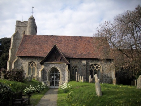
| Location | : | Sutton-at-Hone, Dartford Borough, England |
| Coordinate | : | 51.4127610, 0.2311080 |
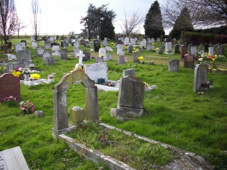
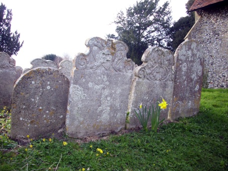
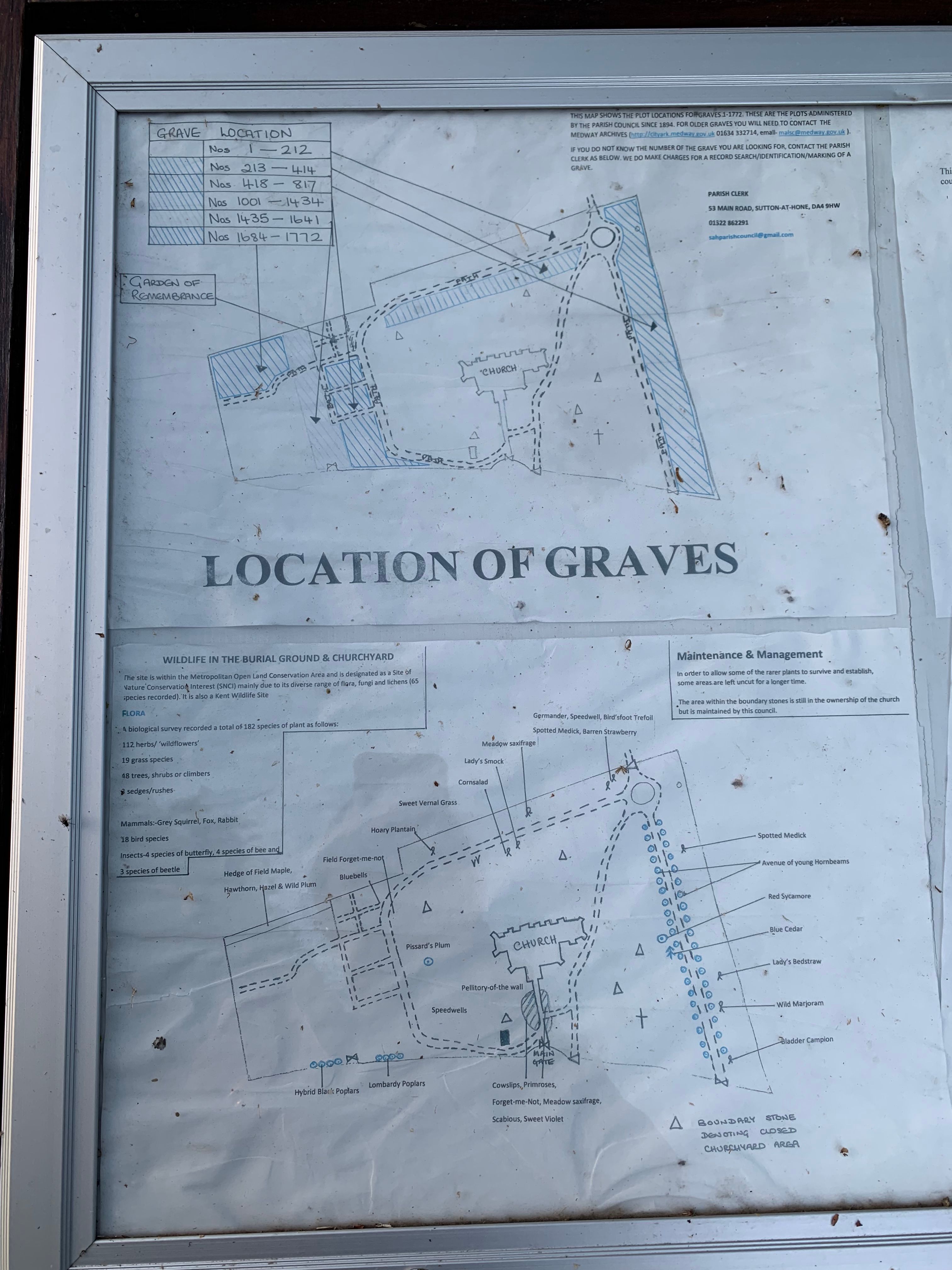
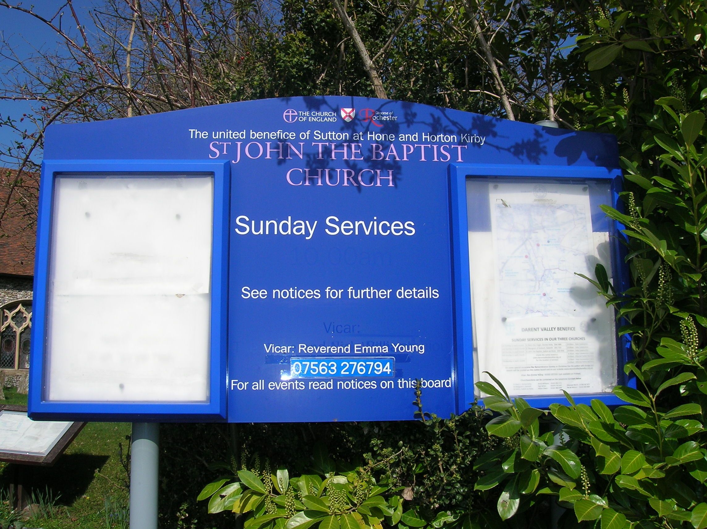
| Description | : | The church is surrounded by land containing about 400 old gravestones, of which few have legible inscriptions. More land around the church was acquired in 1894 for a larger burial ground. A map is displayed (see photo) showing the location of 1,772 burial plots in the post-1894 area. Burial registers for the church can be viewed (free) on the Medway Council Heritage Services website. However, they do not show plot numbers. The plot number for a post 1894 burial can be requested from the Parish Clerk, [email protected], for a fee. |
frequently asked questions (FAQ):
-
Where is St. John the Baptist Churchyard?
St. John the Baptist Churchyard is located at Church Road Sutton-at-Hone, Dartford Borough ,Kent ,England.
-
St. John the Baptist Churchyard cemetery's updated grave count on graveviews.com?
462 memorials
-
Where are the coordinates of the St. John the Baptist Churchyard?
Latitude: 51.4127610
Longitude: 0.2311080
Nearby Cemetories:
1. St Margaret of Antioch Churchyard
Darenth, Dartford Borough, England
Coordinate: 51.4189830, 0.2432630
2. St Mary the Virgin Churchyard
Horton Kirby, Sevenoaks District, England
Coordinate: 51.3946340, 0.2439310
3. St. Michael and All Angels Churchyard
Wilmington, Dartford Borough, England
Coordinate: 51.4303000, 0.2118470
4. Darenth Rest Cemetery
Darenth, Dartford Borough, England
Coordinate: 51.4306221, 0.2513770
5. St Paul Churchyard
Swanley, Sevenoaks District, England
Coordinate: 51.4062767, 0.1974050
6. Darenth Southern Rest Cemetery
Darenth, Dartford Borough, England
Coordinate: 51.4295311, 0.2568480
7. Watling Street Cemetery
Dartford, Dartford Borough, England
Coordinate: 51.4402122, 0.2413000
8. East Hill Cemetery
Dartford, Dartford Borough, England
Coordinate: 51.4423910, 0.2301970
9. St Edmund's Pleasance Burial Ground
Dartford, Dartford Borough, England
Coordinate: 51.4433556, 0.2244740
10. Dartford War Memorial
Dartford, Dartford Borough, England
Coordinate: 51.4432335, 0.2185200
11. Holy Trinity Churchyard
Dartford, Dartford Borough, England
Coordinate: 51.4438970, 0.2203440
12. St. Alban's Church Churchyard
Dartford, Dartford Borough, England
Coordinate: 51.4446480, 0.2279500
13. St Peter and St Paul Churchyard
Farningham, Sevenoaks District, England
Coordinate: 51.3803177, 0.2217920
14. Stone Cemetery
Stone, Dartford Borough, England
Coordinate: 51.4400900, 0.2623800
15. Stone House Hospital Cemetery
Stone, Dartford Borough, England
Coordinate: 51.4470300, 0.2415700
16. Bow Arrow Lane Cemetery
Dartford, Dartford Borough, England
Coordinate: 51.4472600, 0.2416900
17. St Mary Churchyard
Swanley, Sevenoaks District, England
Coordinate: 51.3972000, 0.1719200
18. St. Mary the Virgin Churchyard
Stone, Dartford Borough, England
Coordinate: 51.4503160, 0.2673630
19. Christian Fellowship Baptist Churchyard
Eynsford, Sevenoaks District, England
Coordinate: 51.3697548, 0.2145360
20. Joyce Green Cemetery
Dartford, Dartford Borough, England
Coordinate: 51.4582590, 0.2299830
21. Eynsford War Memorial
Eynsford, Sevenoaks District, England
Coordinate: 51.3685875, 0.2135230
22. St Mary Churchyard
Fawkham, Sevenoaks District, England
Coordinate: 51.3893970, 0.2938280
23. St Martin Churchyard
Eynsford, Sevenoaks District, England
Coordinate: 51.3675308, 0.2112560
24. St Mary Magdalene Churchyard
Longfield, Dartford Borough, England
Coordinate: 51.3978510, 0.3033730