
| Memorials | : | 920 |
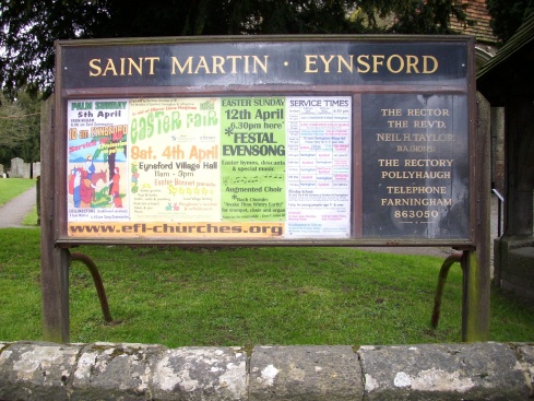
| Location | : | Eynsford, Sevenoaks District, England |
| Coordinate | : | 51.3675308, 0.2112560 |
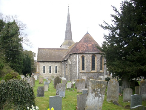
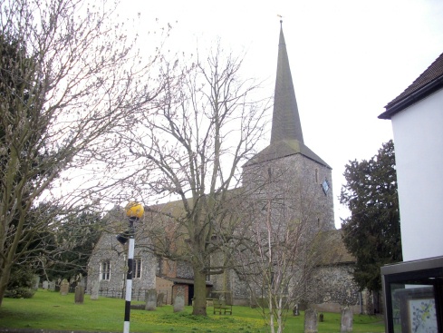
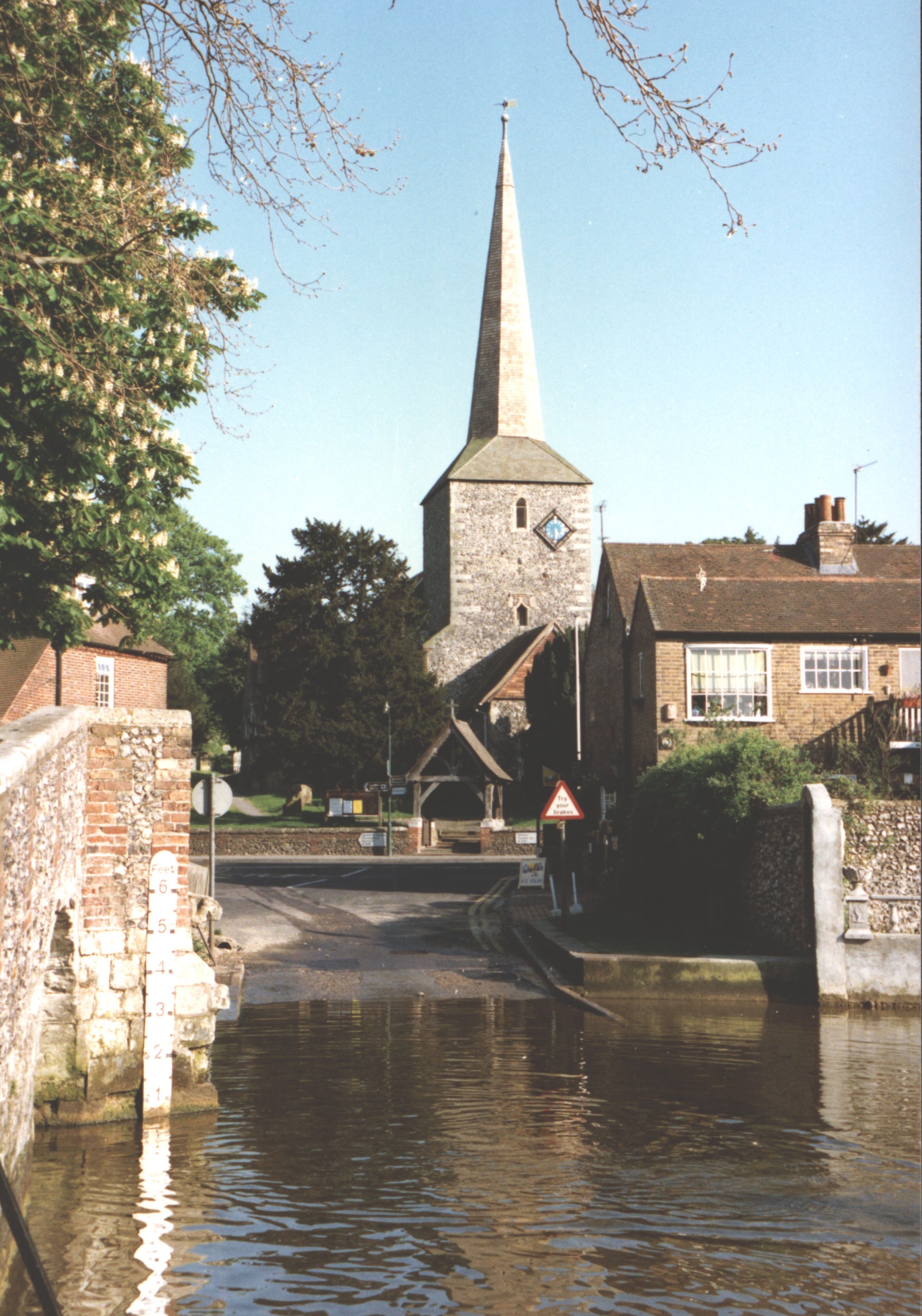
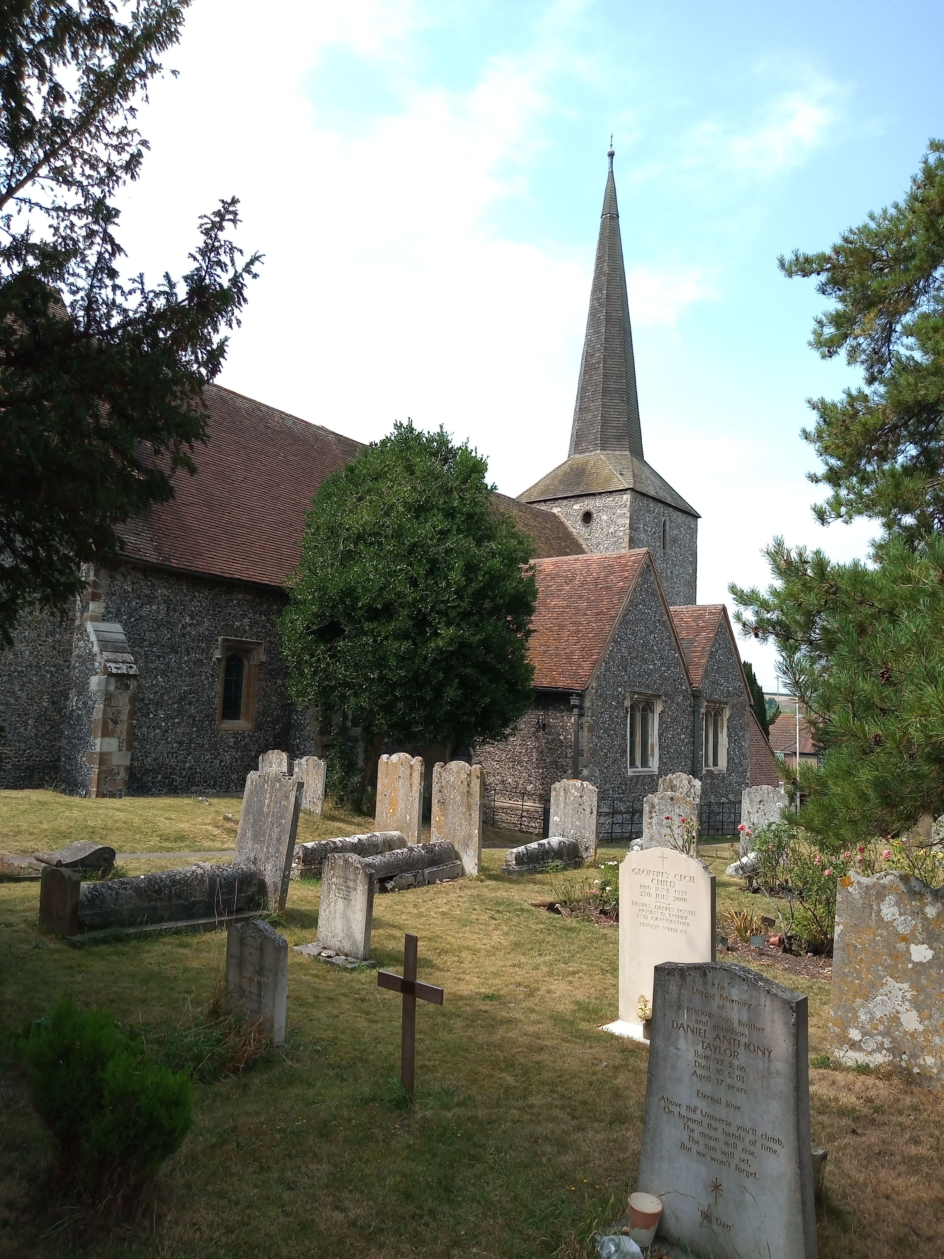
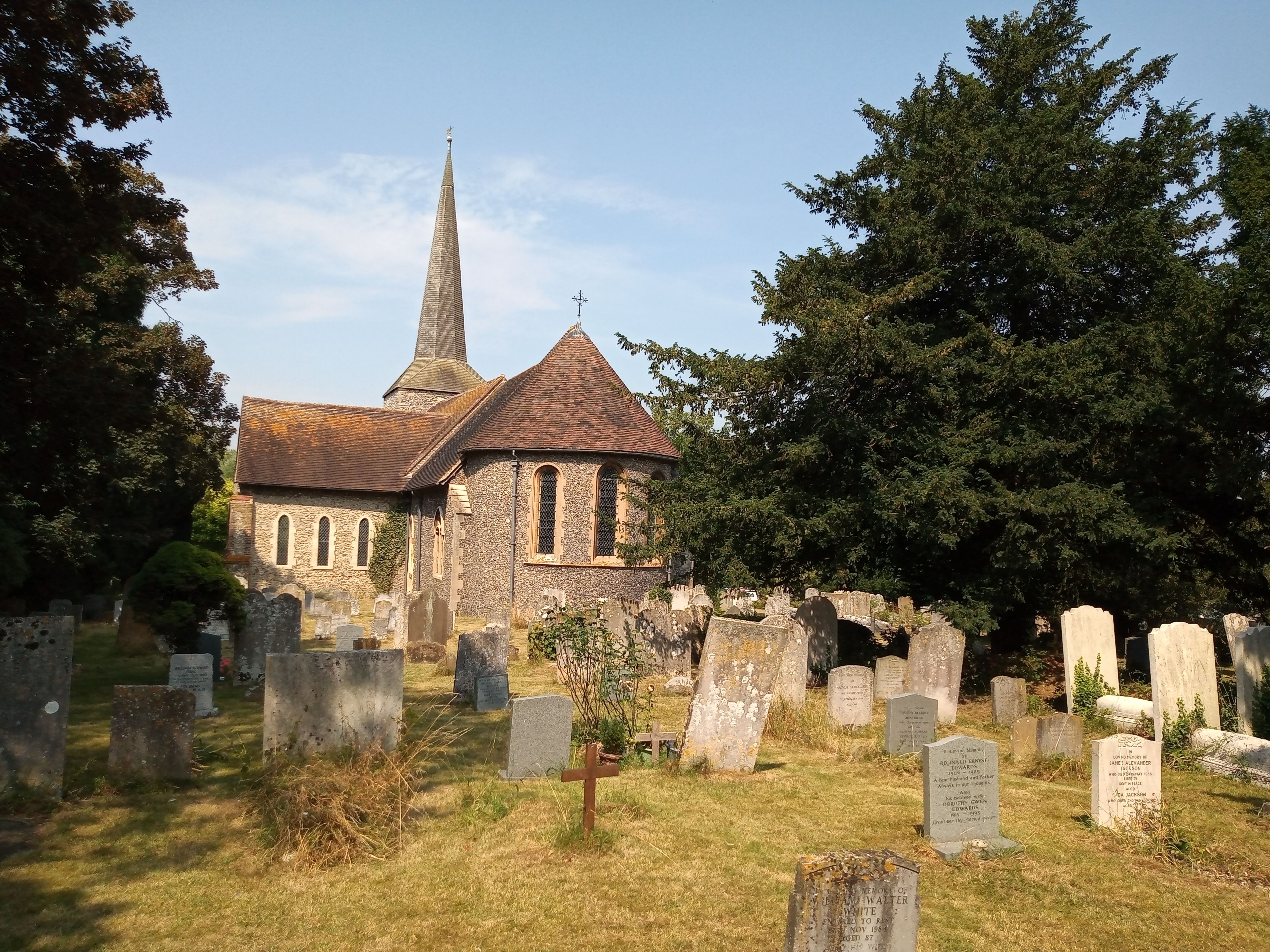
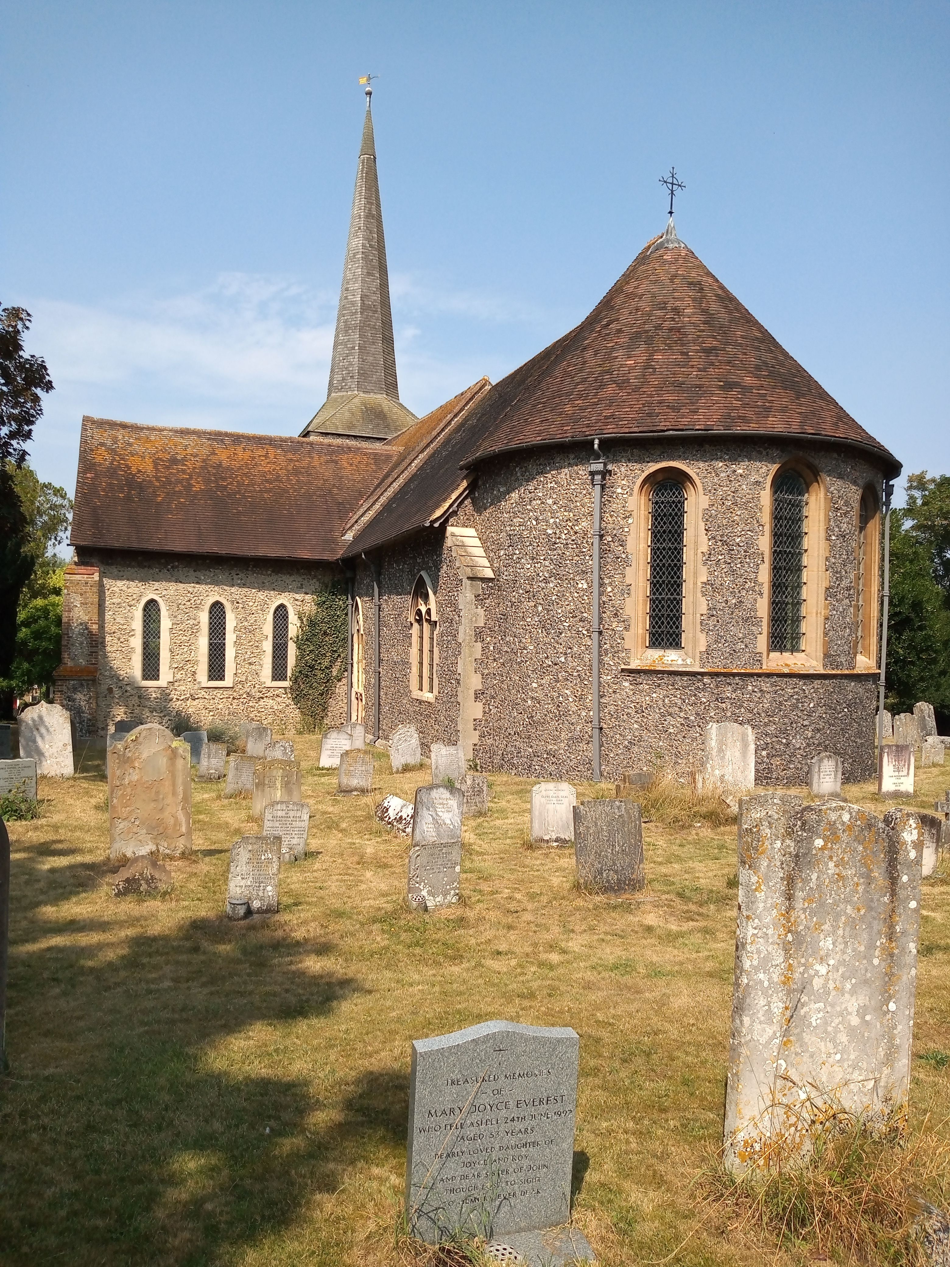
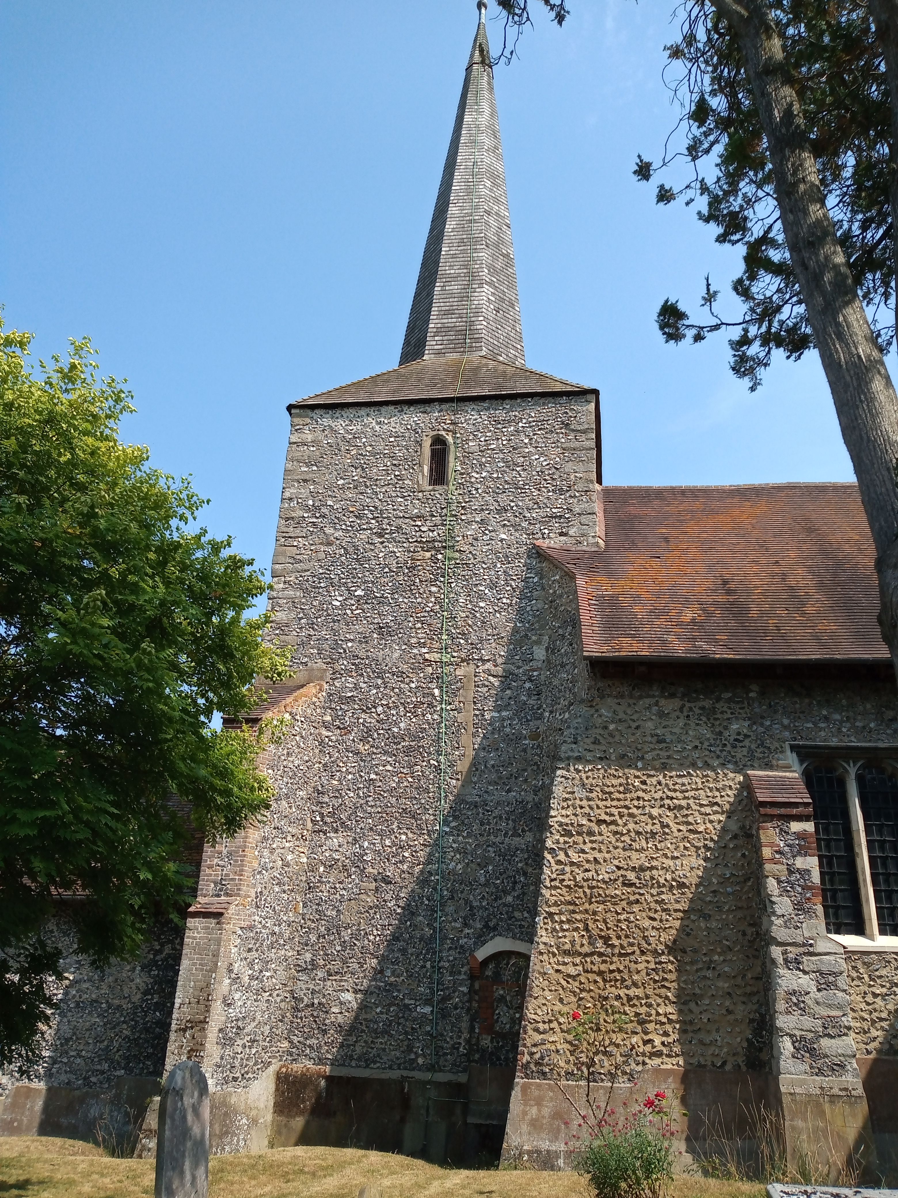
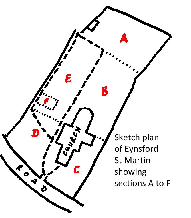
| Description | : | Finding your way around the Churchyard-helpful directions prepared by Frank Rogers Burial plots are designated by area/row/plot, eg N/4/9. The churchyard is divided into 3 main areas:- o N - Northern area, to the left of the main path as you walk up the churchyard from the main road, and includes the rose garden for the interment of ashes. o S - Southern area, to the right of the main path as you walk up the churchyard from the main road, and includes the church. o E - Eastern area at the top of the churchyard beside the church hall. The rows of graves run north to south,... Read More |
frequently asked questions (FAQ):
-
Where is St Martin Churchyard?
St Martin Churchyard is located at Station Road Eynsford, Sevenoaks District ,Kent , DA4 0EHEngland.
-
St Martin Churchyard cemetery's updated grave count on graveviews.com?
914 memorials
-
Where are the coordinates of the St Martin Churchyard?
Latitude: 51.3675308
Longitude: 0.2112560
Nearby Cemetories:
1. Eynsford War Memorial
Eynsford, Sevenoaks District, England
Coordinate: 51.3685875, 0.2135230
2. Christian Fellowship Baptist Churchyard
Eynsford, Sevenoaks District, England
Coordinate: 51.3697548, 0.2145360
3. St Peter and St Paul Churchyard
Farningham, Sevenoaks District, England
Coordinate: 51.3803177, 0.2217920
4. All Souls Churchyard Extension
Crockenhill, Sevenoaks District, England
Coordinate: 51.3840760, 0.1675630
5. Crockenhill Union Church Burial Ground
Crockenhill, Sevenoaks District, England
Coordinate: 51.3833580, 0.1641470
6. St Mary the Virgin Churchyard
Horton Kirby, Sevenoaks District, England
Coordinate: 51.3946340, 0.2439310
7. All Souls Churchyard
Crockenhill, Sevenoaks District, England
Coordinate: 51.3832016, 0.1624080
8. Old Baptist Burial Ground
Crockenhill, Sevenoaks District, England
Coordinate: 51.3804900, 0.1552620
9. St. Peter and St. Paul's Churchyard
Shoreham, Sevenoaks District, England
Coordinate: 51.3330170, 0.1844590
10. St Mary Churchyard
Swanley, Sevenoaks District, England
Coordinate: 51.3972000, 0.1719200
11. St Paul Churchyard
Swanley, Sevenoaks District, England
Coordinate: 51.4062767, 0.1974050
12. St. John the Baptist Churchyard
Sutton-at-Hone, Dartford Borough, England
Coordinate: 51.4127610, 0.2311080
13. St Mary's Churchyard Woodlands
West Kingsdown, Sevenoaks District, England
Coordinate: 51.3233700, 0.2428600
14. Bluebell Cemetery
Halstead, Sevenoaks District, England
Coordinate: 51.3409718, 0.1409984
15. St Margaret of Antioch Churchyard
Darenth, Dartford Borough, England
Coordinate: 51.4189830, 0.2432630
16. St Peter and St Paul Churchyard
Ash, Sevenoaks District, England
Coordinate: 51.3575990, 0.2989910
17. St Mary Churchyard
Fawkham, Sevenoaks District, England
Coordinate: 51.3893970, 0.2938280
18. St Martin of Tours Churchyard
Chelsfield, London Borough of Bromley, England
Coordinate: 51.3557970, 0.1234670
19. St. Bartholomew's Churchyard
Otford, Sevenoaks District, England
Coordinate: 51.3123700, 0.1916890
20. St. Margaret Churchyard
Halstead, Sevenoaks District, England
Coordinate: 51.3350870, 0.1284220
21. St Mary the Virgin Churchyard
Kemsing, Sevenoaks District, England
Coordinate: 51.3068670, 0.2310220
22. St. Michael and All Angels Churchyard
Wilmington, Dartford Borough, England
Coordinate: 51.4303000, 0.2118470
23. St Mary Cray Cemetery
St Mary Cray, London Borough of Bromley, England
Coordinate: 51.3945680, 0.1201950
24. St Mary Magdalene Churchyard
Longfield, Dartford Borough, England
Coordinate: 51.3978510, 0.3033730