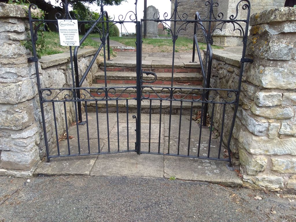
| Memorials | : | 0 |
| Location | : | Gainsborough, West Lindsey District, England |
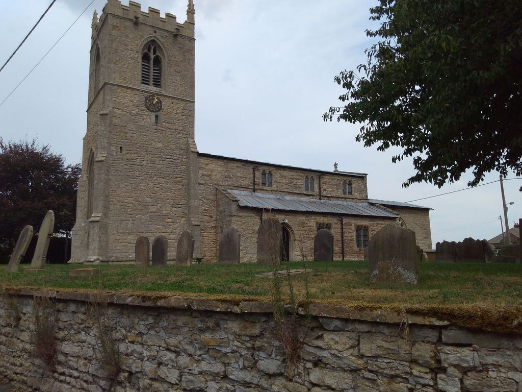
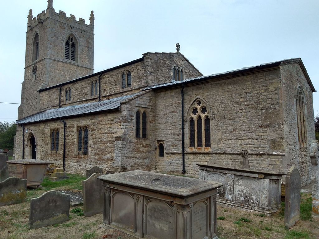
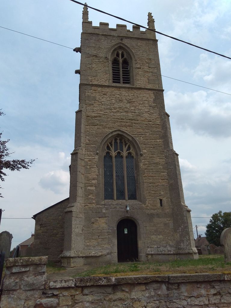
| Description | : | Church in the village of Northorpe 8 miles N/E of Gainsborough. |
frequently asked questions (FAQ):
-
Where is St. John the Baptist Churchyard?
St. John the Baptist Churchyard is located at No GPS information available Add GPSNorthorpe Gainsborough, West Lindsey District ,Lincolnshire ,England.
-
St. John the Baptist Churchyard cemetery's updated grave count on graveviews.com?
0 memorials
Nearby Cemetories:
1. St. Andrew's Churchyard
Apley, West Lindsey District, England
Coordinate: 53.3830880, -0.3275890
2. St Cuthbert's Churchyard
Brattleby, West Lindsey District, England
Coordinate: 53.3883500, -0.3376700
3. St. Peter & St. Paul Churchyard
Cherry Willingham, West Lindsey District, England
Coordinate: 53.2601290, -0.7528380
4. All Saints Churchyard
Cold Hanworth, West Lindsey District, England
Coordinate: 53.3786700, -0.2524900
5. St Andrew's Churchyard
Fillingham, West Lindsey District, England
Coordinate: 53.2970600, -0.3404500
6. Glentworth Cemetery
Glentworth, West Lindsey District, England
Coordinate: 53.3625100, -0.4920400
7. St. Michael's Churchyard
Glentworth, West Lindsey District, England
Coordinate: 53.5455030, -0.3982090
8. Saint Peter's churchyard
Great Limber, West Lindsey District, England
9. St Peter
Great Limber, West Lindsey District, England
Coordinate: 53.4218220, -0.5210460
10. All Saints Churchyard
Holton-cum-Beckering, West Lindsey District, England
Coordinate: 53.2922400, -0.6349600
11. St Peter Churchyard
Kingerby, West Lindsey District, England
Coordinate: 53.4968870, -0.3299210
12. Saint Helens Churchyard
Lea, West Lindsey District, England
Coordinate: 53.4971540, -0.3181850
13. Market Rasen Cemetery
Market Rasen, West Lindsey District, England
Coordinate: 53.3830880, -0.3275890
14. St. Thomas Churchyard
Market Rasen, West Lindsey District, England
Coordinate: 53.3883500, -0.3376700
15. St. Peter's Churchyard
Newton on Trent, West Lindsey District, England
Coordinate: 53.2601290, -0.7528380
16. St. Thomas the Apostle Churchyard
North Willingham, West Lindsey District, England
Coordinate: 53.3786700, -0.2524900
17. St. Oswald's Churchyard
Rand, West Lindsey District, England
Coordinate: 53.2970600, -0.3404500
18. St. Helen's Churchyard
Saxby, West Lindsey District, England
Coordinate: 53.3625100, -0.4920400
19. St Margaret Churchyard
Somerby, West Lindsey District, England
Coordinate: 53.5455030, -0.3982090
20. St. Hilary's Churchyard
Spridlington, West Lindsey District, England
21. St. Peter's Churchyard
Bishop Norton, West Lindsey District, England
Coordinate: 53.4218220, -0.5210460
22. All Saints Churchyard
Broxholme, West Lindsey District, England
Coordinate: 53.2922400, -0.6349600
23. Caistor Cemetery
Caistor, West Lindsey District, England
Coordinate: 53.4968870, -0.3299210
24. Caistor Congregational Chapelyard
Caistor, West Lindsey District, England
Coordinate: 53.4971540, -0.3181850

