
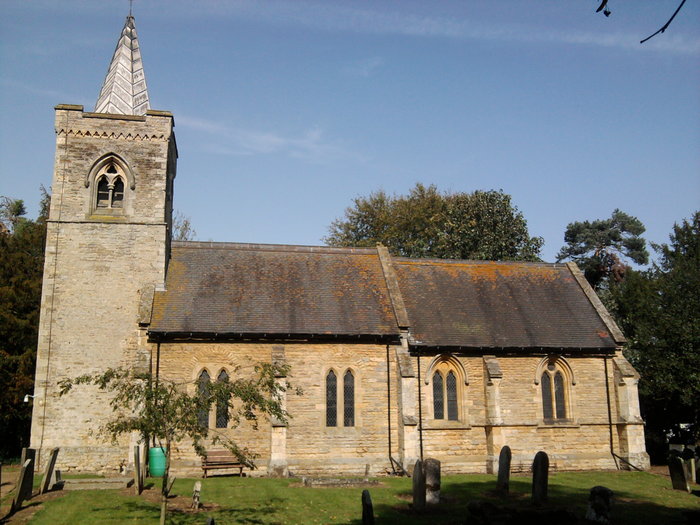
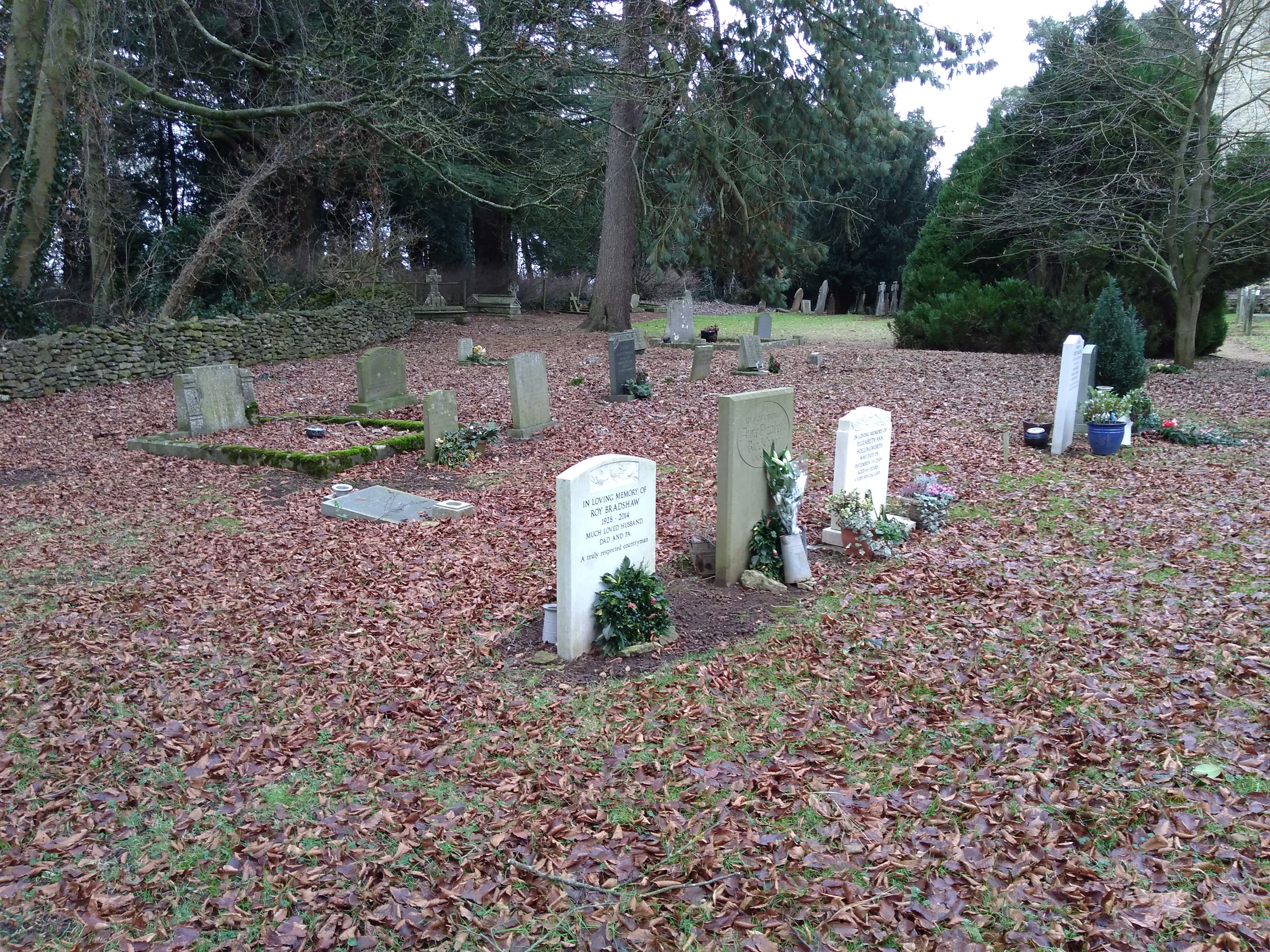
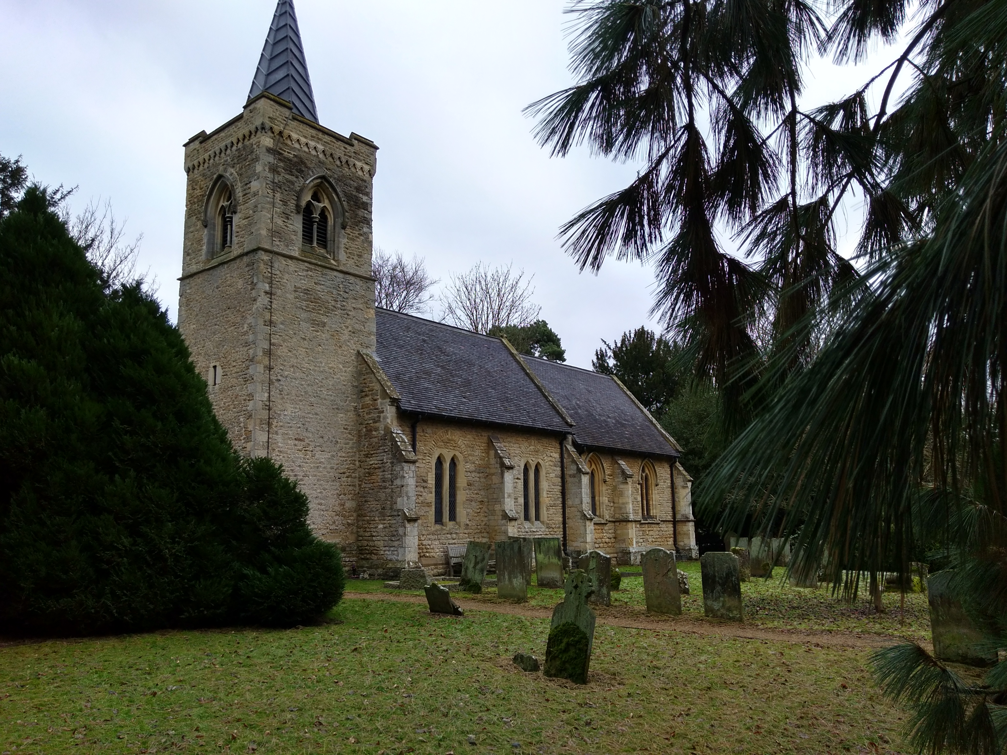
| Memorials | : | 141 |
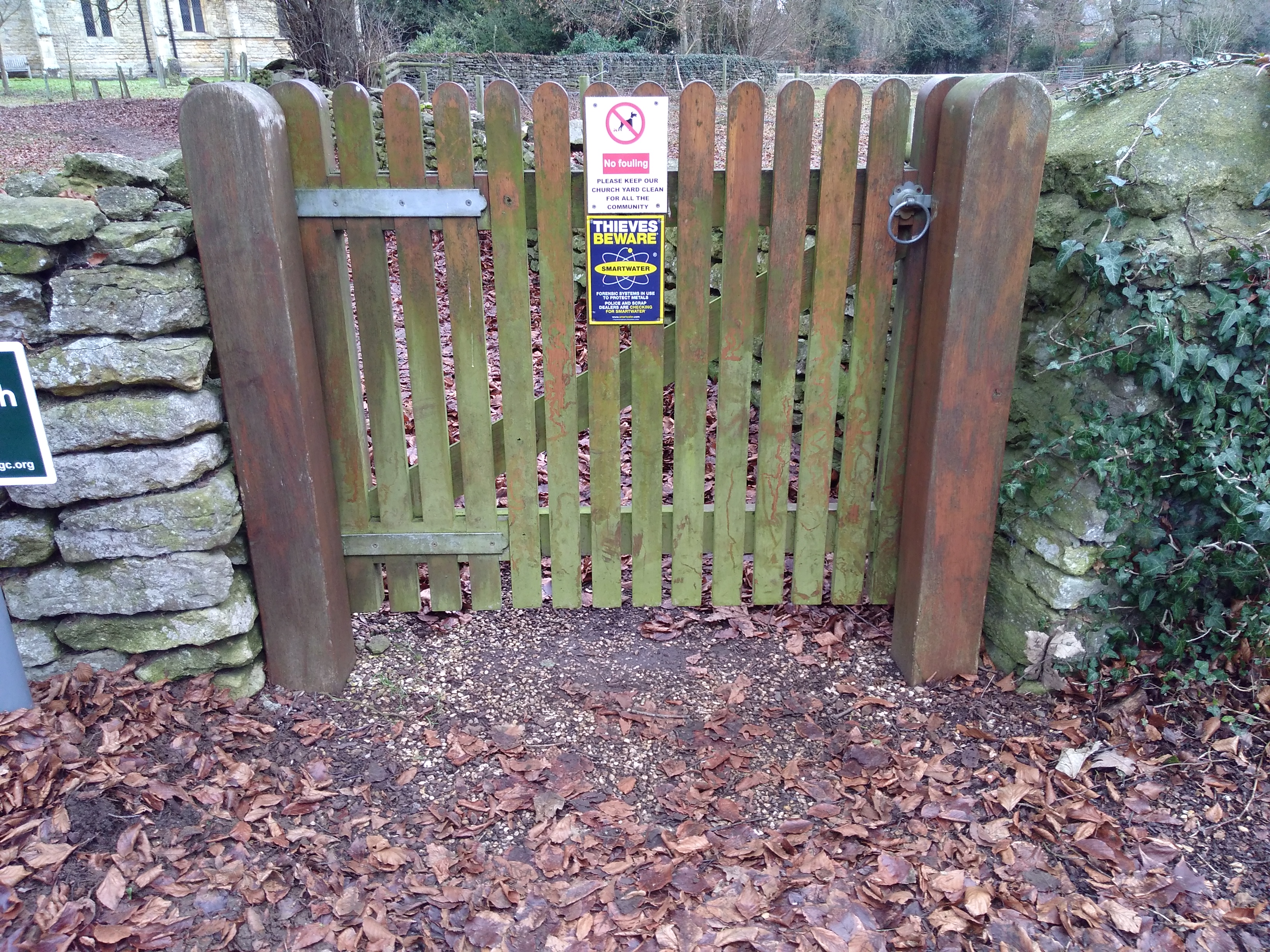
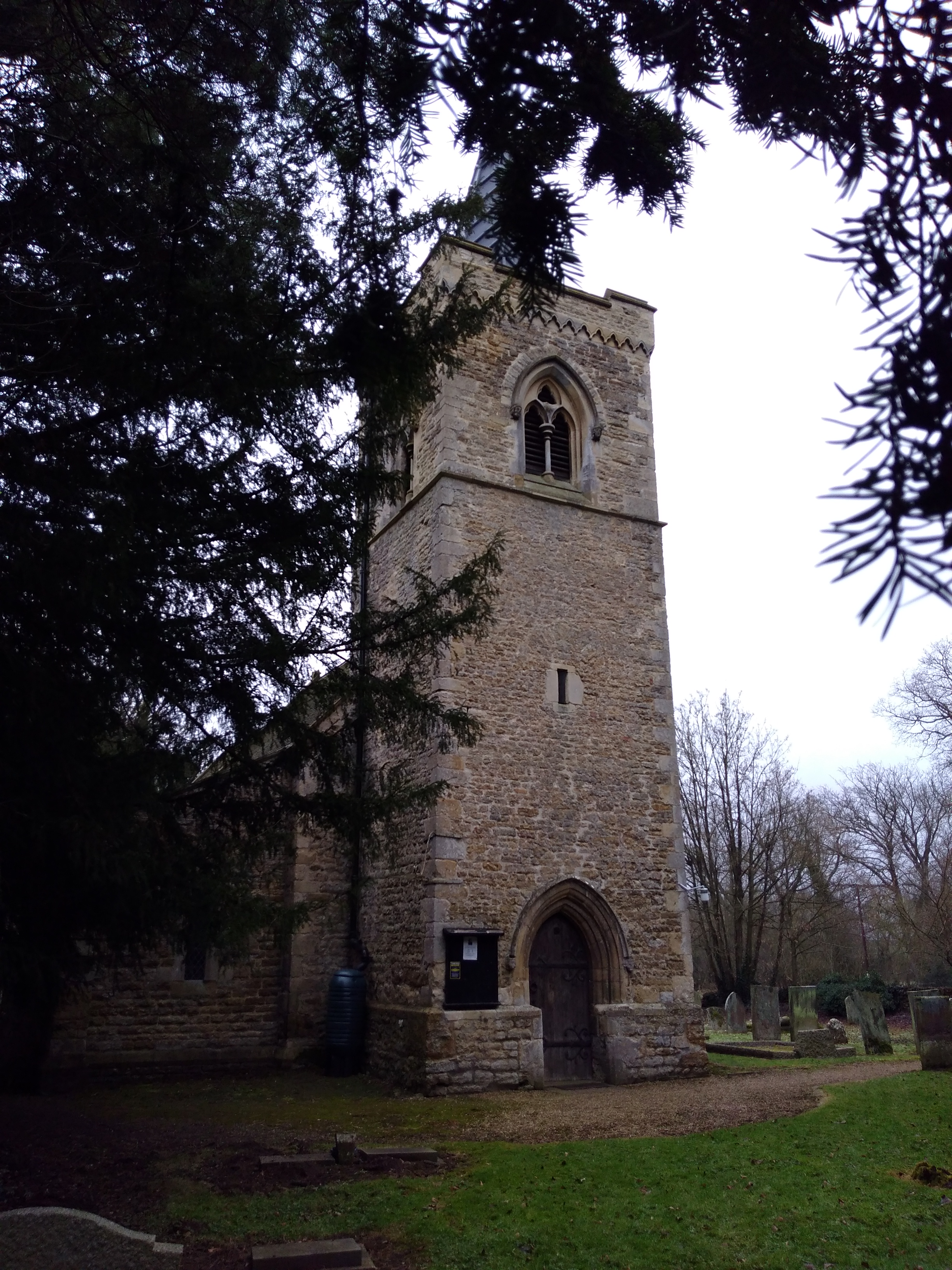
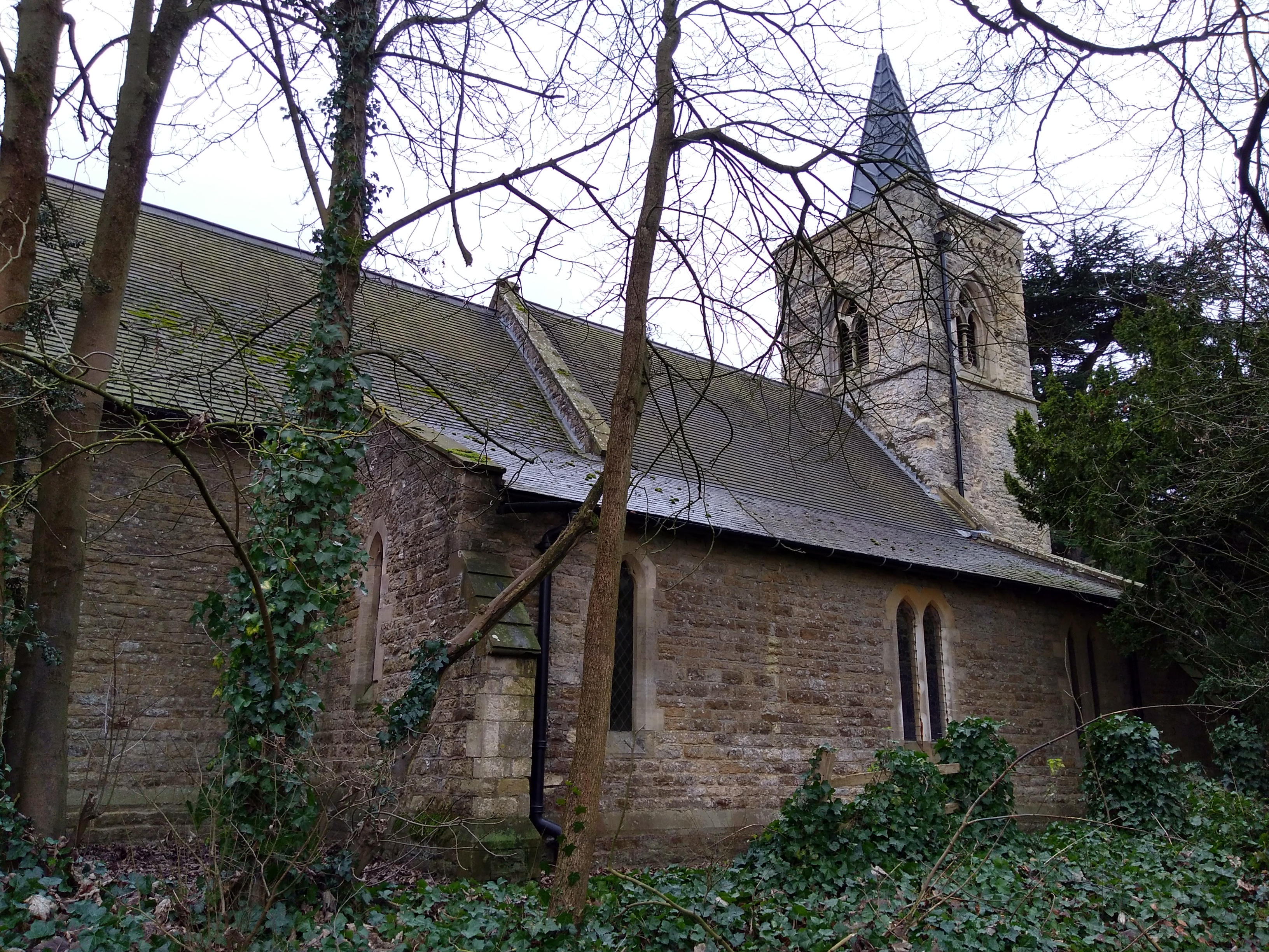
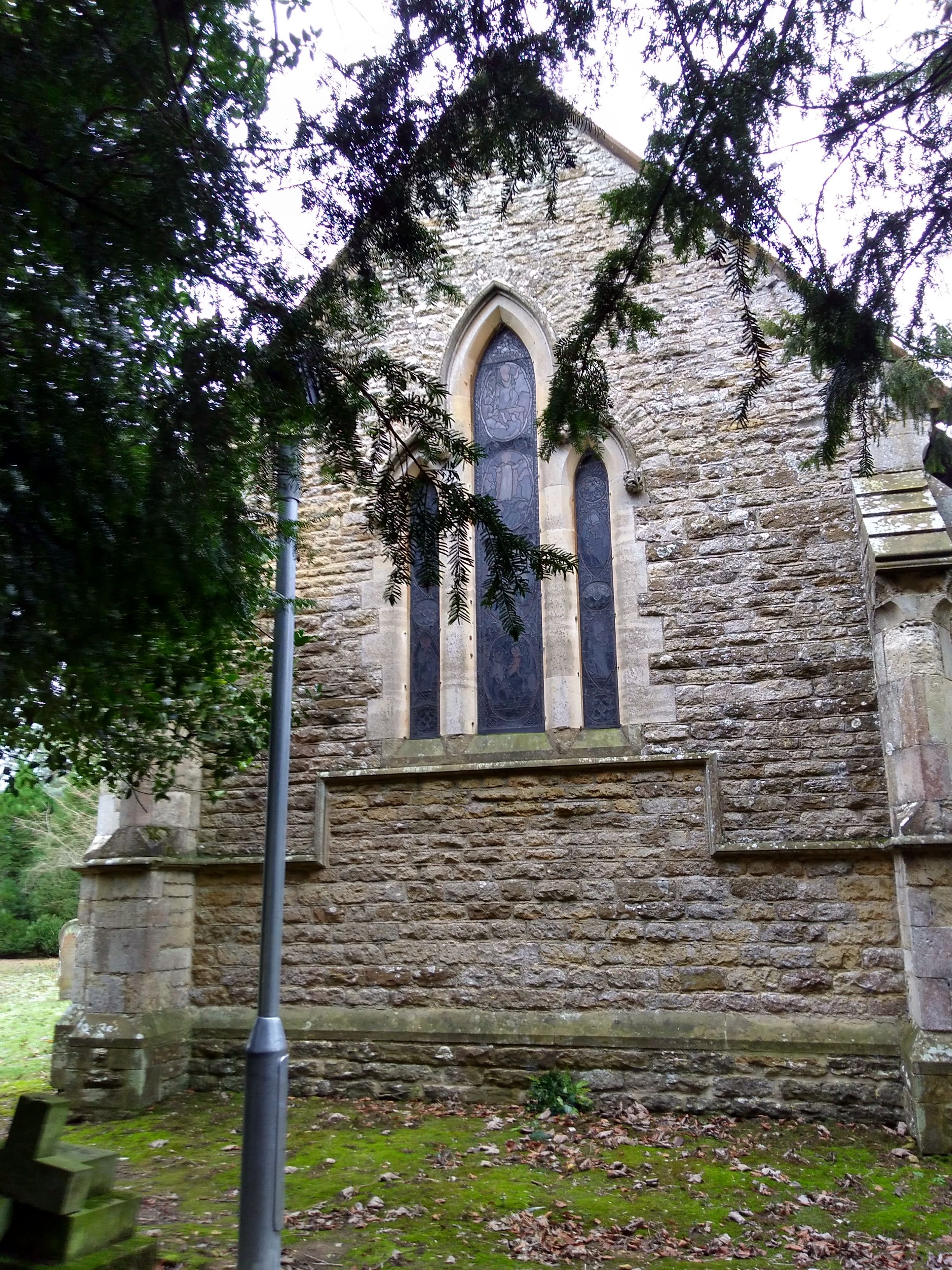
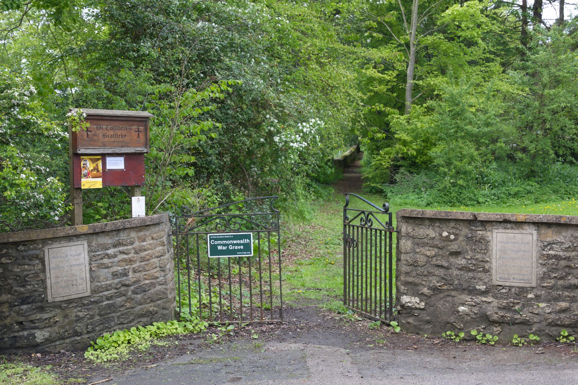
| Location | : | Brattleby, West Lindsey District, England |
| Coordinate | : | 53.3156600, -0.5794750 |
frequently asked questions (FAQ):
-
Where is St Cuthbert's Churchyard?
St Cuthbert's Churchyard is located at Brattleby, West Lindsey District ,Lincolnshire ,England.
-
St Cuthbert's Churchyard cemetery's updated grave count on graveviews.com?
21 memorials
-
Where are the coordinates of the St Cuthbert's Churchyard?
Latitude: 53.3156600
Longitude: -0.5794750
Nearby Cemetories:
1. St Peter's Churchyard
Aisthorpe, West Lindsey District, England
Coordinate: 53.3102400, -0.5815300
2. St. John the Baptist Churchyard
Scampton, West Lindsey District, England
Coordinate: 53.3037680, -0.5787140
3. St. Michael's Churchyard
Cammeringham, West Lindsey District, England
Coordinate: 53.3275480, -0.5781450
4. Dam Busters Dog Memorial
Scampton, West Lindsey District, England
Coordinate: 53.3008200, -0.5495800
5. All Saints Churchyard
Ingham, West Lindsey District, England
Coordinate: 53.3398690, -0.5745610
6. St. Luke's Churchyard
North Carlton, West Lindsey District, England
Coordinate: 53.2873000, -0.5831200
7. St. John the Baptist Churchyard
South Carlton, West Lindsey District, England
Coordinate: 53.2785000, -0.5754000
8. All Saints Churchyard
Broxholme, West Lindsey District, England
Coordinate: 53.2922400, -0.6349600
9. St. Edith Churchyard
Coates-by-Stow, West Lindsey District, England
Coordinate: 53.3369700, -0.6377300
10. St Michael Churchyard
Hackthorn, West Lindsey District, England
Coordinate: 53.3288810, -0.5134350
11. Sturton by Stow Quaker Cemetery
Sturton-by-Stow, West Lindsey District, England
Coordinate: 53.3173590, -0.6644260
12. Sturton by Stow
Sturton-by-Stow, West Lindsey District, England
Coordinate: 53.3192800, -0.6677000
13. St. Mary's Churchyard
Riseholme, West Lindsey District, England
Coordinate: 53.2688200, -0.5264900
14. St. Vincent Churchyard
Burton, West Lindsey District, England
Coordinate: 53.2596400, -0.5598100
15. Stow Cemetery
Stow, West Lindsey District, England
Coordinate: 53.3252100, -0.6811100
16. Saxilby Cemetery
Saxilby, West Lindsey District, England
Coordinate: 53.2755800, -0.6590400
17. St. Botolph Churchyard
Saxilby, West Lindsey District, England
Coordinate: 53.2747300, -0.6591000
18. St. Michael's Churchyard
Glentworth, West Lindsey District, England
Coordinate: 53.3813420, -0.5794550
19. Glentworth Cemetery
Glentworth, West Lindsey District, England
Coordinate: 53.3823126, -0.5768907
20. St. Helen's Churchyard
Saxby, West Lindsey District, England
Coordinate: 53.3625100, -0.4920400
21. St. Chad Churchyard
Dunholme, West Lindsey District, England
Coordinate: 53.3018330, -0.4638100
22. St Chad Church Extension
Dunholme, West Lindsey District, England
Coordinate: 53.3008900, -0.4621500
23. All Saints Churchyard
Nettleham, West Lindsey District, England
Coordinate: 53.2652940, -0.4906780
24. Nettleham Cemetery
Nettleham, West Lindsey District, England
Coordinate: 53.2645600, -0.4904000