| Memorials | : | 0 |
| Location | : | Shireoaks, Bassetlaw District, England |
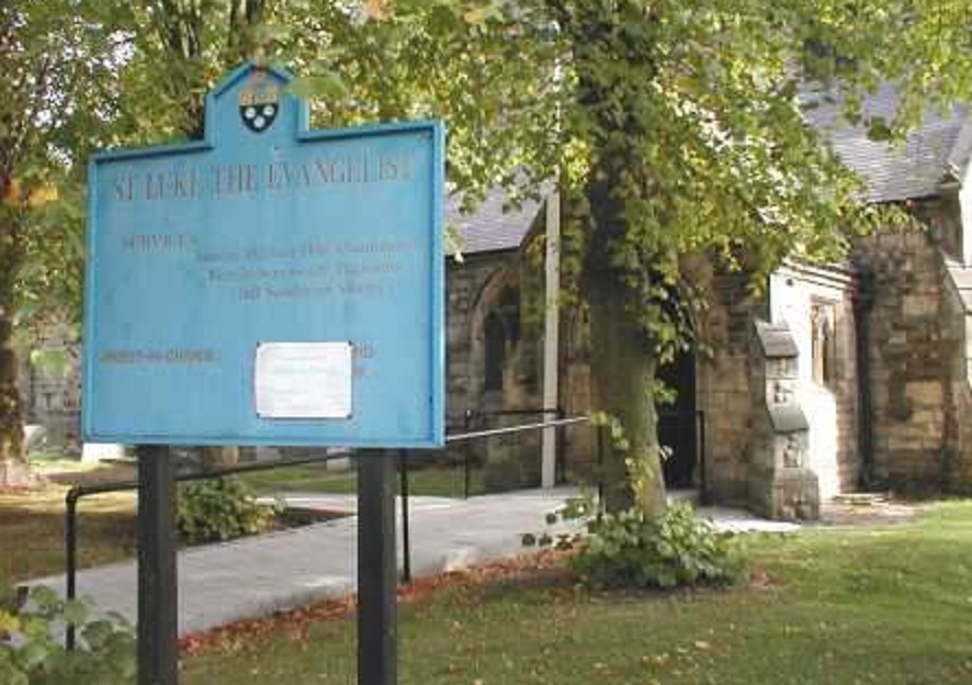
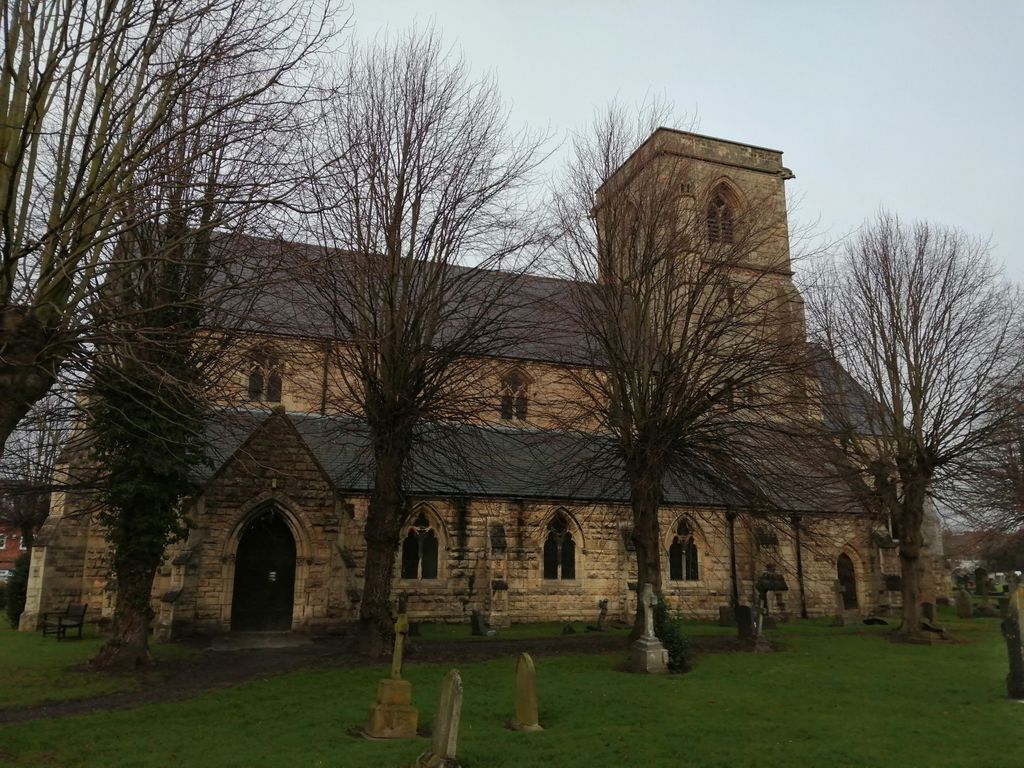
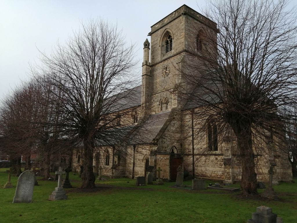
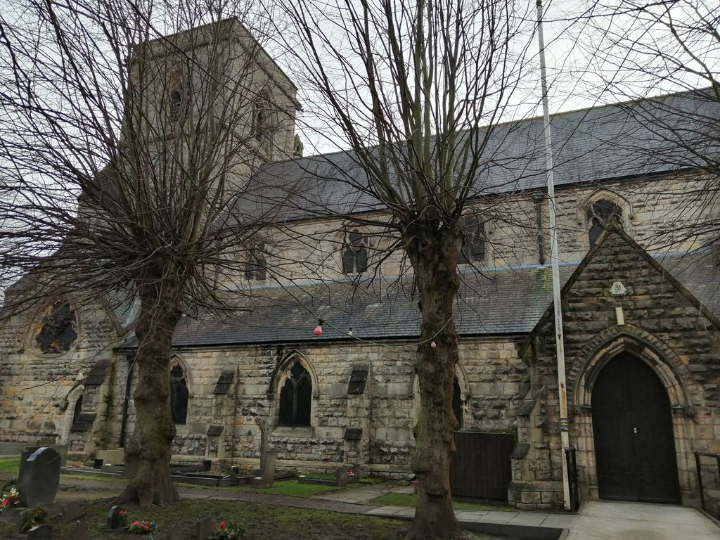
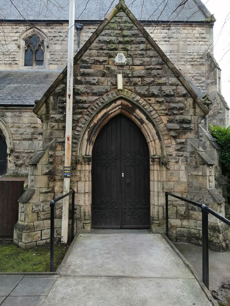
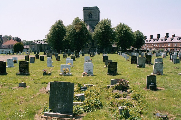
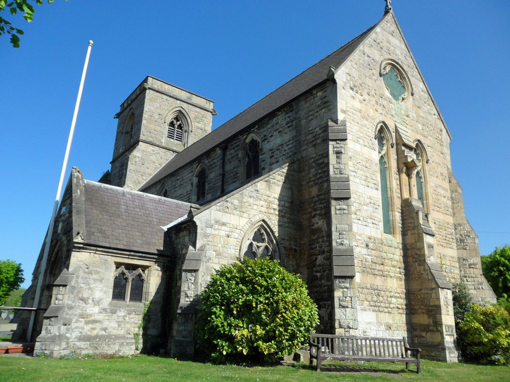
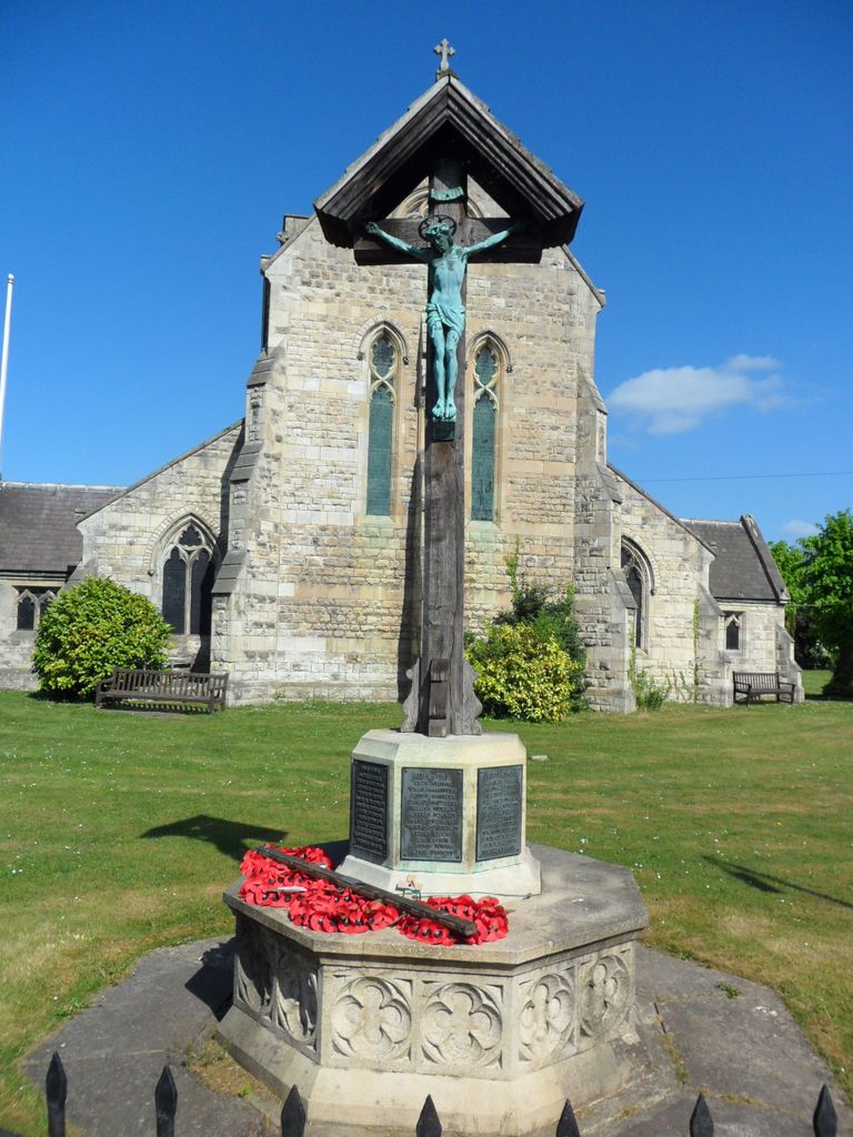
| Description | : | A magnificent Victorian Church with Royal connections. The Church of St Luke the Evangelist at Shireoaks is one of few churches in the country that can claim direct or indirect connection with so many people and events of historic importance. The foundation stone was laid by the then Prince of Wales, later to become Edward VII, on St Luke's day, 18th October 1861. The same day two years later saw it's dedication. Built in "High Church" style it was a present to the village by the fifth Duke of Newcastle-Under-Lyne. The Duke was the owner of the colliery at the... Read More |
frequently asked questions (FAQ):
-
Where is St. Luke's the Evangelist Churchyard?
St. Luke's the Evangelist Churchyard is located at No GPS information available Add GPSShireoaks Worksop Shireoaks, Bassetlaw District ,Nottinghamshire , S81England.
-
St. Luke's the Evangelist Churchyard cemetery's updated grave count on graveviews.com?
0 memorials
Nearby Cemetories:
1. St Nicholas Churchyard
Askham, Bassetlaw District, England
Coordinate: 53.3748200, -0.8093900
2. Bothamsall Cookford Lane Cemetery
Bothamsall, Bassetlaw District, England
Coordinate: 53.3413200, -0.8981100
3. Our Lady & St Peter Churchyard
Bothamsall, Bassetlaw District, England
4. All Saints Churchyard
Eaton, Bassetlaw District, England
Coordinate: 53.2691900, -0.8387700
5. St Helen's Churchyard
Grove, Bassetlaw District, England
Coordinate: 53.2406090, -0.7847320
6. St. Nicholas Churchyard
Littleborough, Bassetlaw District, England
7. St. Lukes Whaley Thorns Burial Ground
Nether Langwith, Bassetlaw District, England
8. St Leonards Churchyard
Ragnall, Bassetlaw District, England
9. Saint Luke's Churchyard
Shireoaks, Bassetlaw District, England
10. St Peter & St Paul Churchyard
Sturton-le-Steeple, Bassetlaw District, England
Coordinate: 53.2364800, -1.1530400
11. St. Peter and St. Paul Churchyard
Sturton-le-Steeple, Bassetlaw District, England
12. St Paul's Churchyard
West Drayton, Bassetlaw District, England
Coordinate: 53.3273420, -0.9565260
13. Saint Martin's Churchyard
Bole, Bassetlaw District, England
Coordinate: 53.3748200, -0.8093900
14. St. John the Baptist Churchyard
Clarborough, Bassetlaw District, England
Coordinate: 53.3413200, -0.8981100
15. St. John the Baptist Churchyard Extension
Clarborough, Bassetlaw District, England
16. St. Peter's Churchyard
East Drayton, Bassetlaw District, England
Coordinate: 53.2691900, -0.8387700
17. St. Gregory Churchyard
Fledborough, Bassetlaw District, England
Coordinate: 53.2406090, -0.7847320
18. St Peter's Churchyard
Headon, Bassetlaw District, England
19. Misson Cemetery
Misson, Bassetlaw District, England
20. St. John the Baptist Churchyard
Misson, Bassetlaw District, England
21. Limetree Avenue (Roadside)
Norton, Bassetlaw District, England
22. St. Mary's Churchyard
Norton, Bassetlaw District, England
Coordinate: 53.2364800, -1.1530400
23. Retford Baptist Churchyard
Retford, Bassetlaw District, England
24. Retford Cemetery
Retford, Bassetlaw District, England
Coordinate: 53.3273420, -0.9565260

