
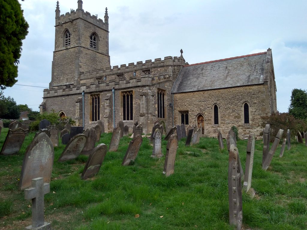
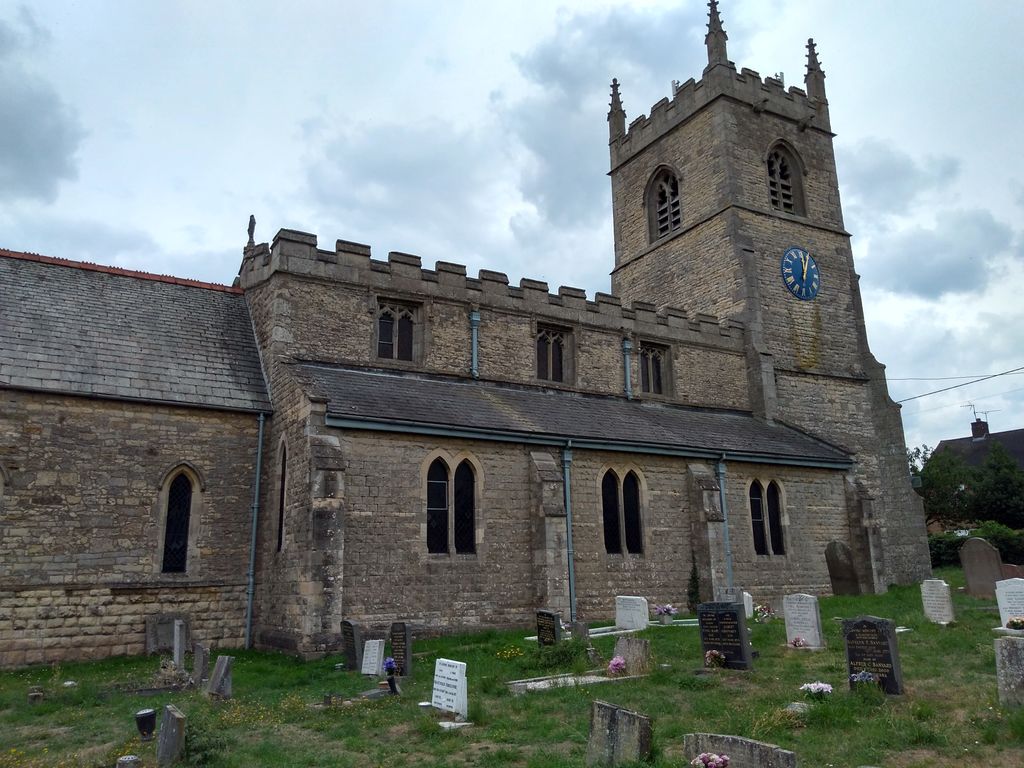
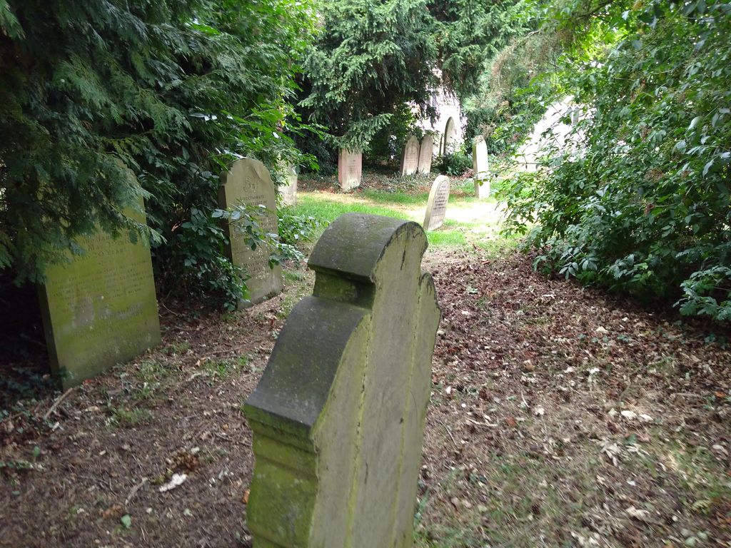
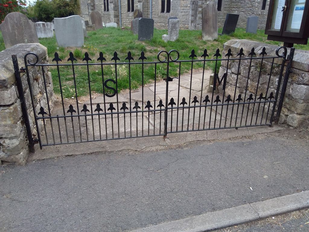
| Memorials | : | 506 |
| Location | : | Blyton, West Lindsey District, England |
| Coordinate | : | 53.4430280, -0.7169130 |
frequently asked questions (FAQ):
-
Where is St. Martin de Tours Churchyard?
St. Martin de Tours Churchyard is located at Church Lane Blyton, West Lindsey District ,Lincolnshire ,England.
-
St. Martin de Tours Churchyard cemetery's updated grave count on graveviews.com?
495 memorials
-
Where are the coordinates of the St. Martin de Tours Churchyard?
Latitude: 53.4430280
Longitude: -0.7169130
Nearby Cemetories:
1. All Saints Churchyard
Pilham, West Lindsey District, England
Coordinate: 53.4339200, -0.7034700
2. All Saints Churchyard
Laughton, West Lindsey District, England
Coordinate: 53.4656600, -0.7224400
3. Laughton Cemetery
Laughton, West Lindsey District, England
Coordinate: 53.4681287, -0.7228939
4. St. John's Churchyard
Gainsborough, West Lindsey District, England
Coordinate: 53.4635280, -0.6538310
5. Morton-by-Gainsborough Burial Ground
Morton, North Kesteven District, England
Coordinate: 53.4132351, -0.7782703
6. St Paul Churchyard
Morton, North Kesteven District, England
Coordinate: 53.4137934, -0.7829434
7. St Genewys Churchyard
Scotton, West Lindsey District, England
Coordinate: 53.4810900, -0.6597690
8. North Warren Cemetery
Gainsborough, West Lindsey District, England
Coordinate: 53.4105900, -0.7833000
9. Gainsborough General Cemetery
Gainsborough, West Lindsey District, England
Coordinate: 53.4009300, -0.7681200
10. All Saints Churchyard
Gainsborough, West Lindsey District, England
Coordinate: 53.4014800, -0.7763900
11. Blessed Virgin Mary Churchyard
West Stockwith, Bassetlaw District, England
Coordinate: 53.4434410, -0.8117040
12. St. John's Churchyard
Gainsborough, West Lindsey District, England
Coordinate: 53.3949589, -0.7722998
13. Holy Trinity Parish Church
Gainsborough, West Lindsey District, England
Coordinate: 53.3948791, -0.7723334
14. St. Peter's Churchyard
East Stockwith, West Lindsey District, England
Coordinate: 53.4415500, -0.8161400
15. Scotter Cemetery
Scotter, West Lindsey District, England
Coordinate: 53.4942000, -0.6665520
16. All Saints Churchyard
Heapham, West Lindsey District, England
Coordinate: 53.3861890, -0.6817980
17. St Peter Churchyard
Scotter, West Lindsey District, England
Coordinate: 53.4966600, -0.6636500
18. St Martin's Churchyard
Owston Ferry, North Lincolnshire Unitary Authority, England
Coordinate: 53.4933920, -0.7886380
19. Owston Ferry Cemetery
Owston Ferry, North Lincolnshire Unitary Authority, England
Coordinate: 53.4966300, -0.7827500
20. St. Alkmund Churchyard
Blyborough, West Lindsey District, England
Coordinate: 53.4394960, -0.5954560
21. Saint Radegund Churchyard
Grayingham, West Lindsey District, England
Coordinate: 53.4538900, -0.5924900
22. Saint Helens Churchyard
Lea, West Lindsey District, England
Coordinate: 53.3704000, -0.7528100
23. All Saints Churchyard
Hemswell, West Lindsey District, England
Coordinate: 53.4069400, -0.6016800
24. All Saints Churchyard
Beckingham, Bassetlaw District, England
Coordinate: 53.4037500, -0.8297300